
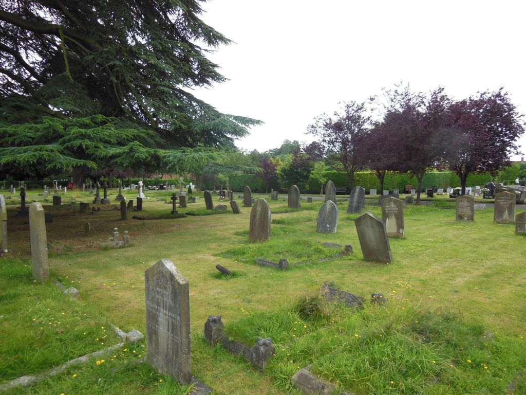
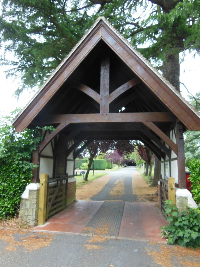
| Memorials | : | 0 |
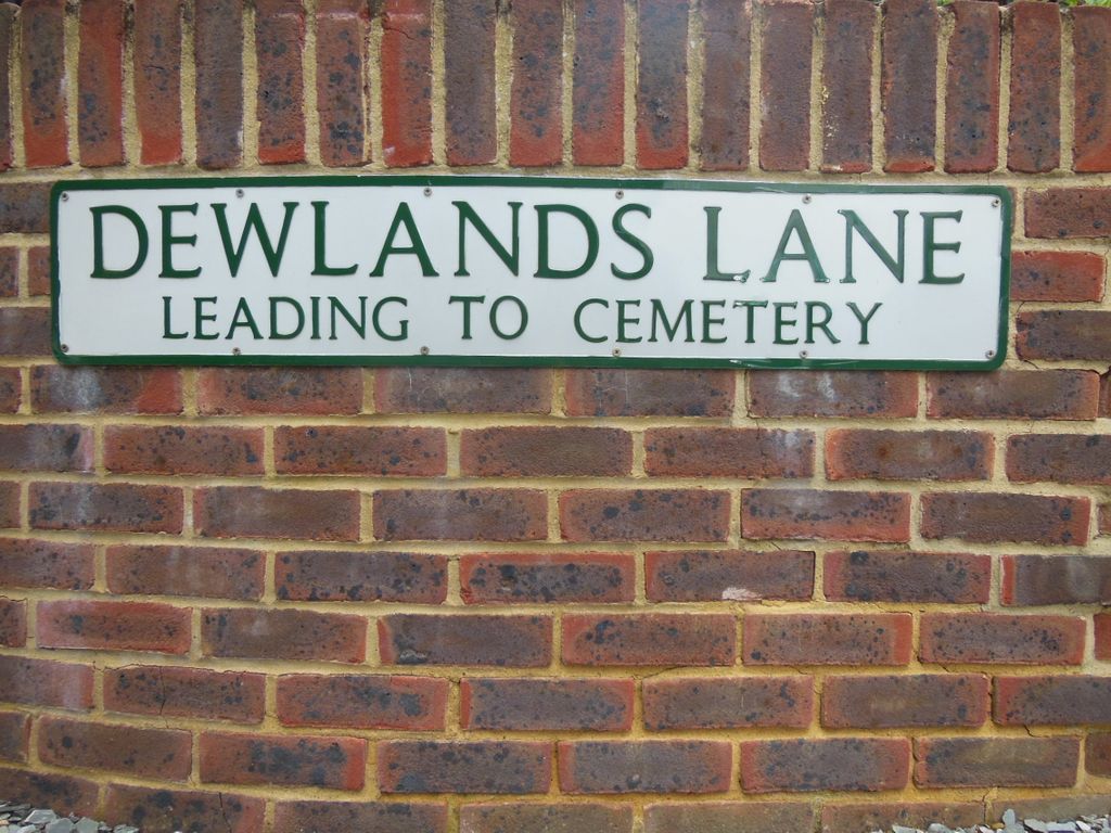
| Location | : | Cranleigh, Waverley Borough, England |
| Coordinate | : | 51.1432100, -0.4845330 |
frequently asked questions (FAQ):
-
Where is Cranleigh Cemetery?
Cranleigh Cemetery is located at Cranleigh, Waverley Borough ,Surrey ,England.
-
Cranleigh Cemetery cemetery's updated grave count on graveviews.com?
0 memorials
-
Where are the coordinates of the Cranleigh Cemetery?
Latitude: 51.1432100
Longitude: -0.4845330
Nearby Cemetories:
1. St Nicolas Churchyard
Cranleigh, Waverley Borough, England
Coordinate: 51.1408830, -0.4860670
2. St Peter & St Paul Churchyard
Ewhurst, Waverley Borough, England
Coordinate: 51.1530910, -0.4409600
3. Oakfield Wood
Shamley Green, Waverley Borough, England
Coordinate: 51.1670718, -0.5115667
4. St Andrew Churchyard
Grafham, Waverley Borough, England
Coordinate: 51.1650010, -0.5383300
5. Christ Church Churchyard
Shamley Green, Waverley Borough, England
Coordinate: 51.1807110, -0.5228360
6. Holy Trinity Churchyard
Rudgwick, Horsham District, England
Coordinate: 51.0973900, -0.4442800
7. St. Nicholas' Churchyard
Alfold, Waverley Borough, England
Coordinate: 51.0956240, -0.5199940
8. Alfold Cemetery
Alfold, Waverley Borough, England
Coordinate: 51.0956860, -0.5212090
9. St John the Baptist Churchyard
Oakwoodhill, Mole Valley District, England
Coordinate: 51.1304600, -0.3895700
10. Okewood St John the Baptist Churchyard
Ewhurst, Waverley Borough, England
Coordinate: 51.1303800, -0.3895000
11. St Mary & All Saints Churchyard
Dunsfold, Waverley Borough, England
Coordinate: 51.1175460, -0.5753870
12. St Mary the Virgin Churchyard
Holmbury St Mary, Mole Valley District, England
Coordinate: 51.1882600, -0.4130600
13. Bramley Cemetery
Bramley, Waverley Borough, England
Coordinate: 51.1894900, -0.5544700
14. Felday Chapel
Holmbury St Mary, Mole Valley District, England
Coordinate: 51.1900360, -0.4129370
15. St. John the Baptist Churchyard
Wonersh, Waverley Borough, England
Coordinate: 51.1960610, -0.5493600
16. Ockley Cemetery
Ockley, Mole Valley District, England
Coordinate: 51.1473610, -0.3654400
17. St Peter and St Paul Churchyard
Albury, Guildford Borough, England
Coordinate: 51.2181500, -0.4974400
18. St James Churchyard
Abinger, Mole Valley District, England
Coordinate: 51.2017820, -0.4056060
19. Old St Peter and St Paul Churchyard
Albury, Guildford Borough, England
Coordinate: 51.2199300, -0.4788890
20. St. John the Baptist Churchyard
Loxwood, Chichester District, England
Coordinate: 51.0688200, -0.5154400
21. St. James' Churchyard
Shere, Guildford Borough, England
Coordinate: 51.2191210, -0.4634830
22. St John the Baptist Churchyard
Busbridge, Waverley Borough, England
Coordinate: 51.1770940, -0.6015880
23. St Martha-on-the-Hill Churchyard
Chilworth, Guildford Borough, England
Coordinate: 51.2246400, -0.5290440
24. St Peter Churchyard
Slinfold, Horsham District, England
Coordinate: 51.0725490, -0.4057220