
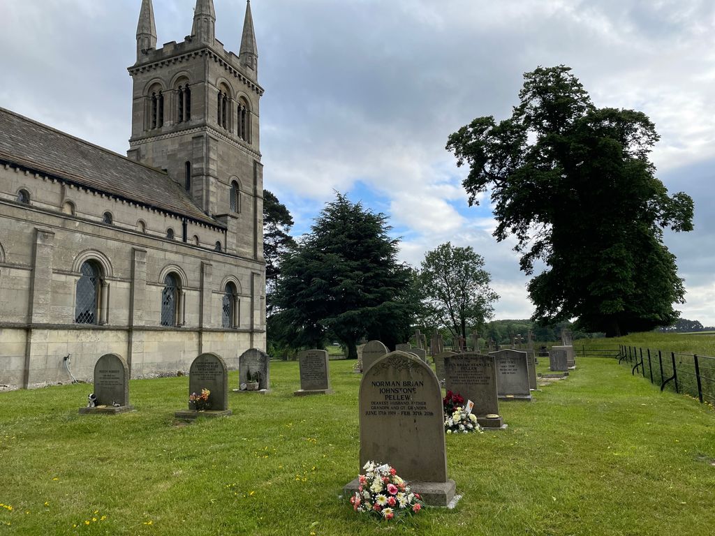
| Memorials | : | 3 |
| Location | : | Worksop, Bassetlaw District, England |
| Coordinate | : | 53.3161600, -1.0584800 |
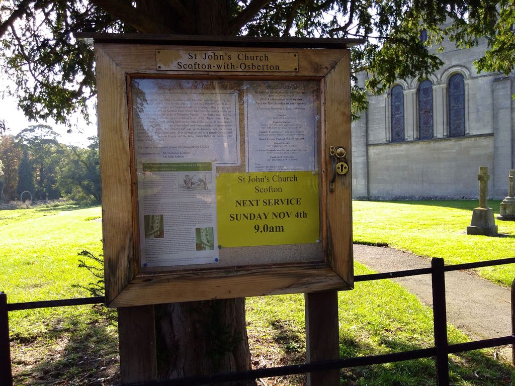
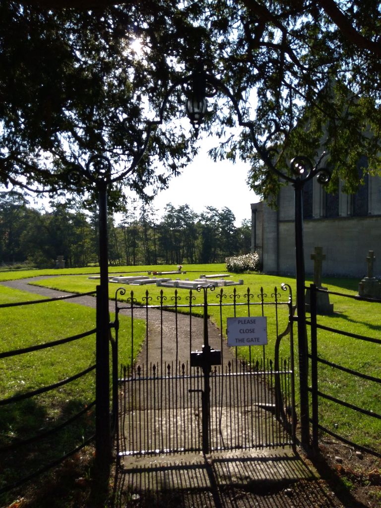
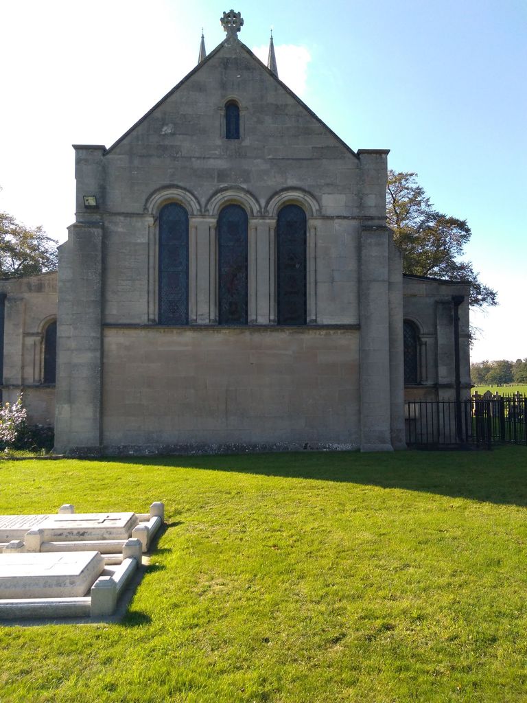
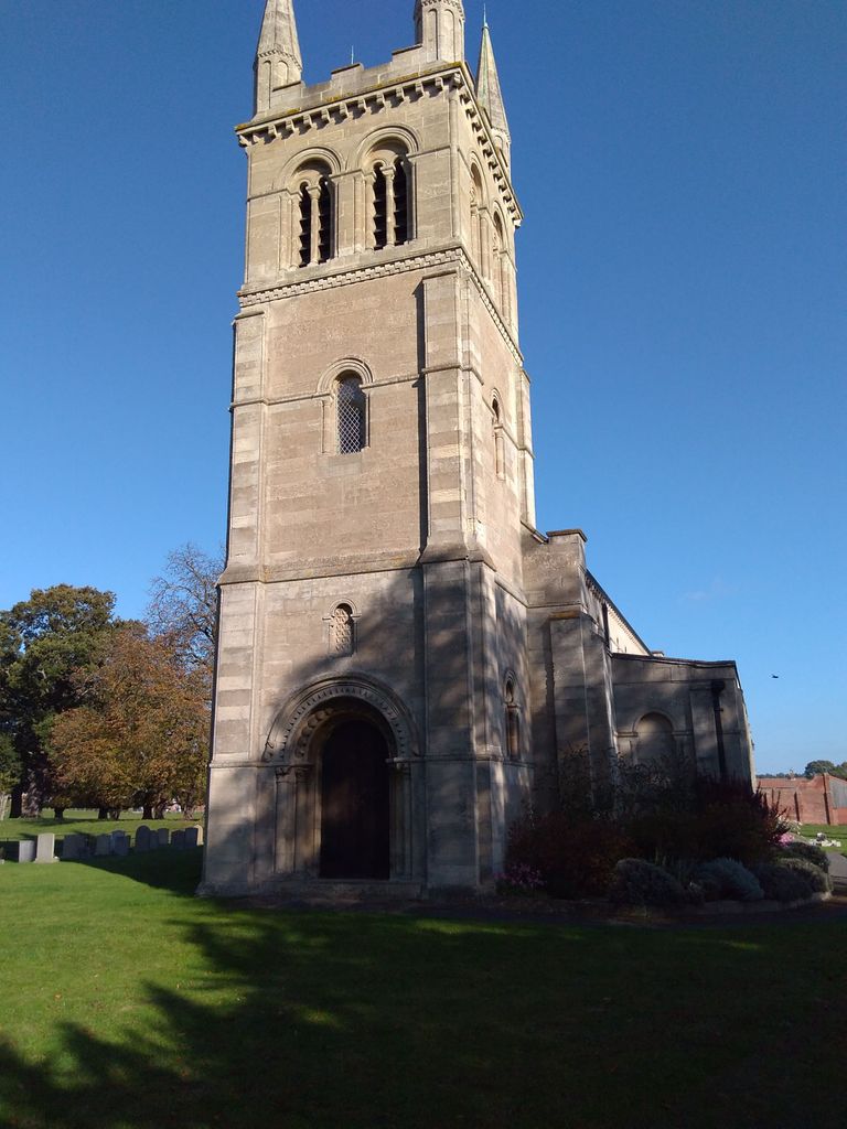
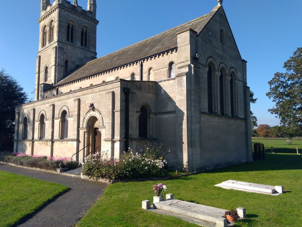
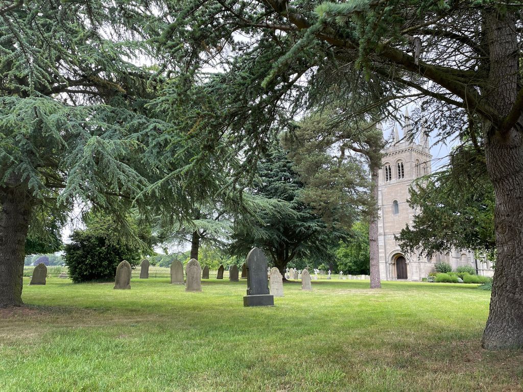
| Description | : | Church is located in the village of Scofton, Nottinghamshire |
frequently asked questions (FAQ):
-
Where is St. John the Evangelist Churchyard?
St. John the Evangelist Churchyard is located at Scofton Worksop, Bassetlaw District ,Nottinghamshire ,England.
-
St. John the Evangelist Churchyard cemetery's updated grave count on graveviews.com?
3 memorials
-
Where are the coordinates of the St. John the Evangelist Churchyard?
Latitude: 53.3161600
Longitude: -1.0584800
Nearby Cemetories:
1. Retford Road Cemetery
Worksop, Bassetlaw District, England
Coordinate: 53.3021540, -1.1010040
2. Worksop Priory
Worksop, Bassetlaw District, England
Coordinate: 53.3039030, -1.1150690
3. Saint John the Evangelist Churchyard
Carlton-in-Lindrick, Bassetlaw District, England
Coordinate: 53.3486389, -1.1180278
4. All Saints Churchyard
Babworth, Bassetlaw District, England
Coordinate: 53.3201112, -0.9710090
5. Blyth City Cemetery
Blyth, Bassetlaw District, England
Coordinate: 53.3729000, -1.0592000
6. Retford Cemetery
Retford, Bassetlaw District, England
Coordinate: 53.3273420, -0.9565260
7. St. Mary & St. Martin Churchyard
Blyth, Bassetlaw District, England
Coordinate: 53.3785000, -1.0642000
8. St. Bartholomew's Churchyard
Sutton cum Lound, Bassetlaw District, England
Coordinate: 53.3573000, -0.9784000
9. St. Giles Churchyard
Carburton, Bassetlaw District, England
Coordinate: 53.2530500, -1.0855200
10. St. Barnabas Church Burial Ground
Ranskill, Bassetlaw District, England
Coordinate: 53.3786660, -1.0138210
11. All Hallows Churchyard
Ordsall, Bassetlaw District, England
Coordinate: 53.3096650, -0.9443470
12. Langold Cemetery
Worksop, Bassetlaw District, England
Coordinate: 53.3777600, -1.1170100
13. St. George's Churchyard
Woodsetts, Metropolitan Borough of Rotherham, England
Coordinate: 53.3476000, -1.1729800
14. All Saints Churchyard
Eaton, Bassetlaw District, England
Coordinate: 53.2939500, -0.9359600
15. All Saints Chapel
Bolsover District, England
Coordinate: 53.3027370, -1.1859097
16. St Helen's Roman Catholic Churchyard
Nottingham, Nottingham Unitary Authority, England
Coordinate: 53.3903220, -1.1131860
17. St. Peter's Churchyard
Gamston, Bassetlaw District, England
Coordinate: 53.2765100, -0.9385900
18. St. John the Evangelist Churchyard
Perlethorpe, Newark and Sherwood District, England
Coordinate: 53.2317600, -1.0344800
19. St. John The Evangelist Church
Nottingham Unitary Authority, England
Coordinate: 53.2317530, -1.0345260
20. St. Peter's Churchyard
Letwell, Metropolitan Borough of Rotherham, England
Coordinate: 53.3773774, -1.1606489
21. St Paul's Churchyard
West Drayton, Bassetlaw District, England
Coordinate: 53.2649300, -0.9352100
22. St. Martin Churchyard
Firbeck, Metropolitan Borough of Rotherham, England
Coordinate: 53.3900080, -1.1561770
23. St. Peter's Churchyard
Hayton, Bassetlaw District, England
Coordinate: 53.3494900, -0.9093700
24. St. Wilfred Churchyard
Scrooby, Bassetlaw District, England
Coordinate: 53.4095670, -1.0204840