
| Memorials | : | 6 |
| Location | : | Temple Guiting, Cotswold District, England |
| Coordinate | : | 51.9510000, -1.8668000 |
frequently asked questions (FAQ):
-
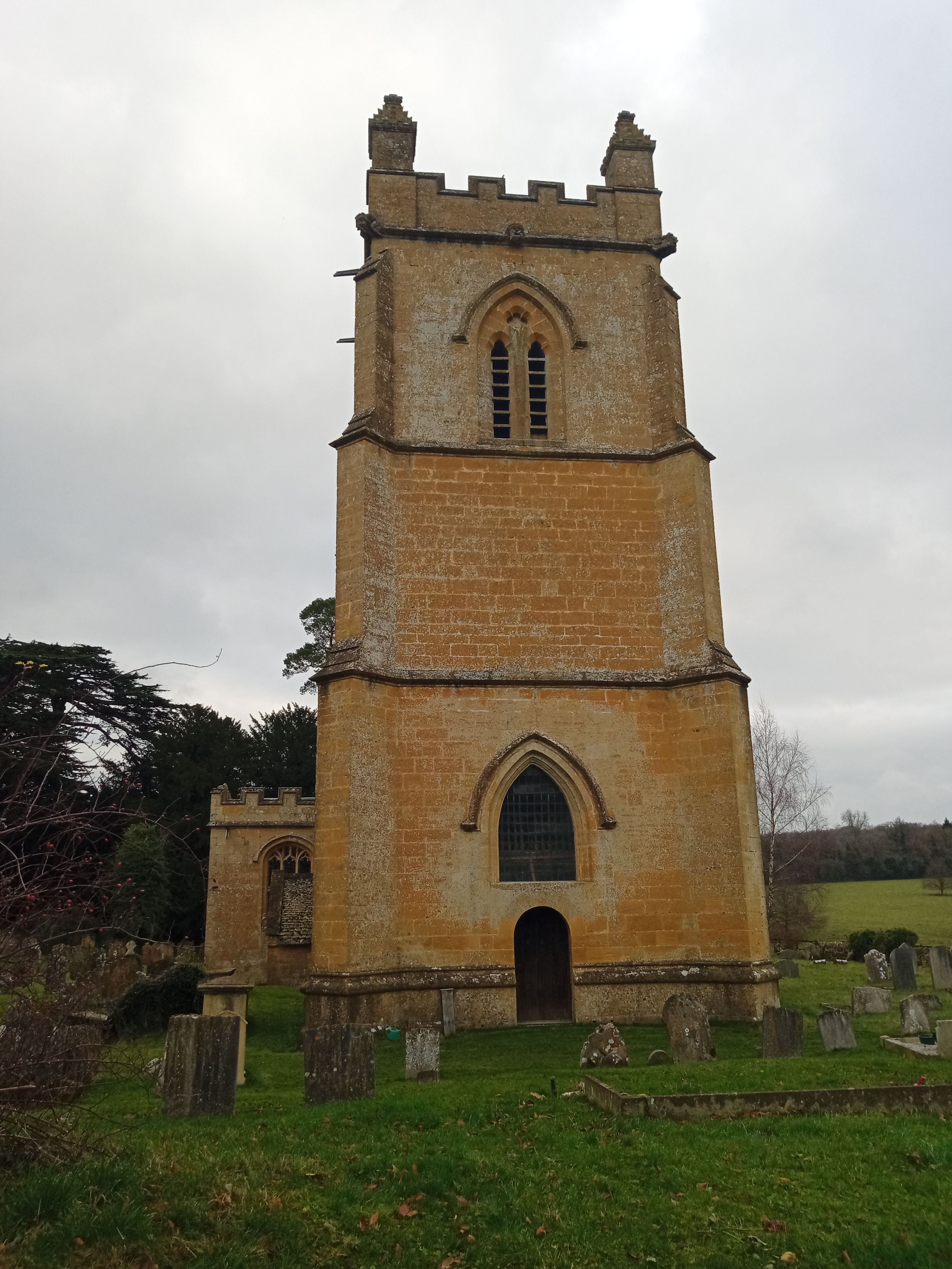
Where is St Mary Church?
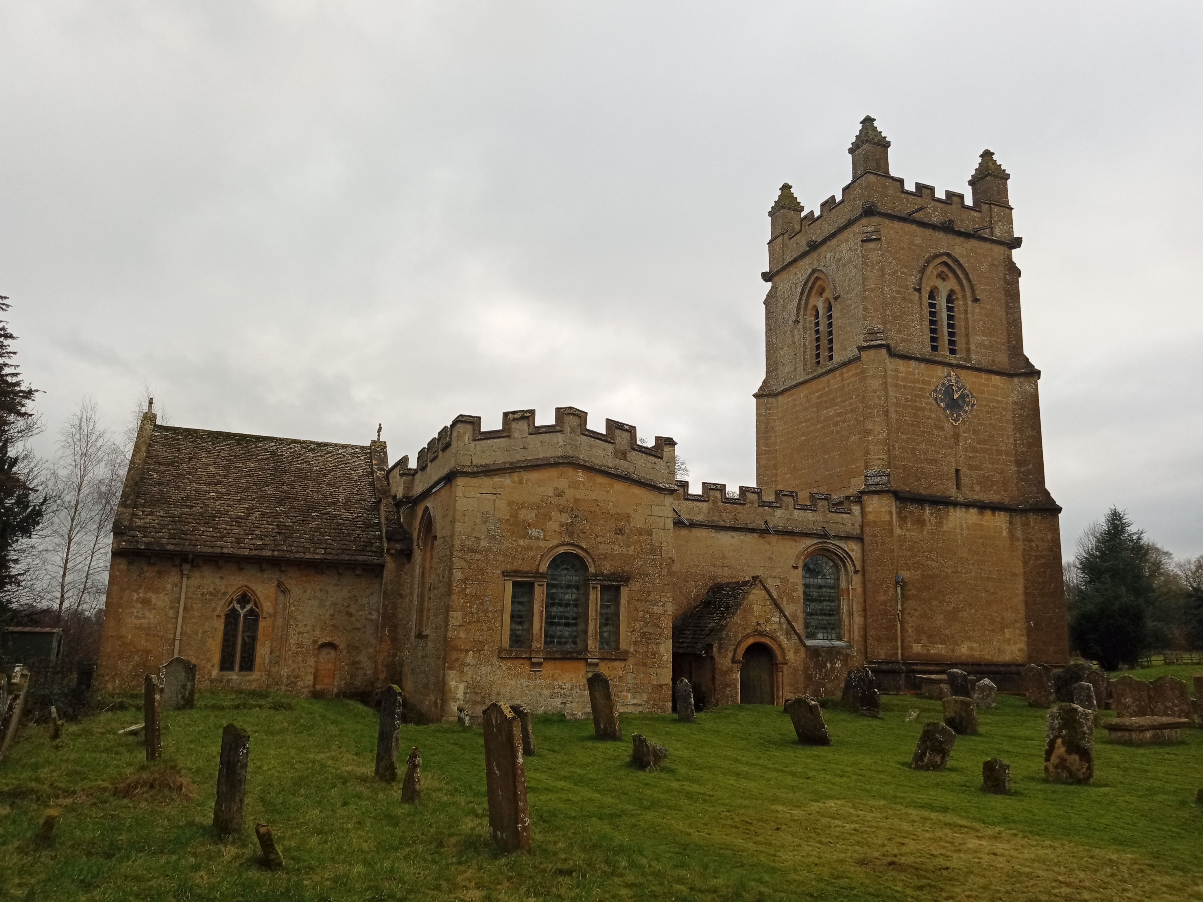
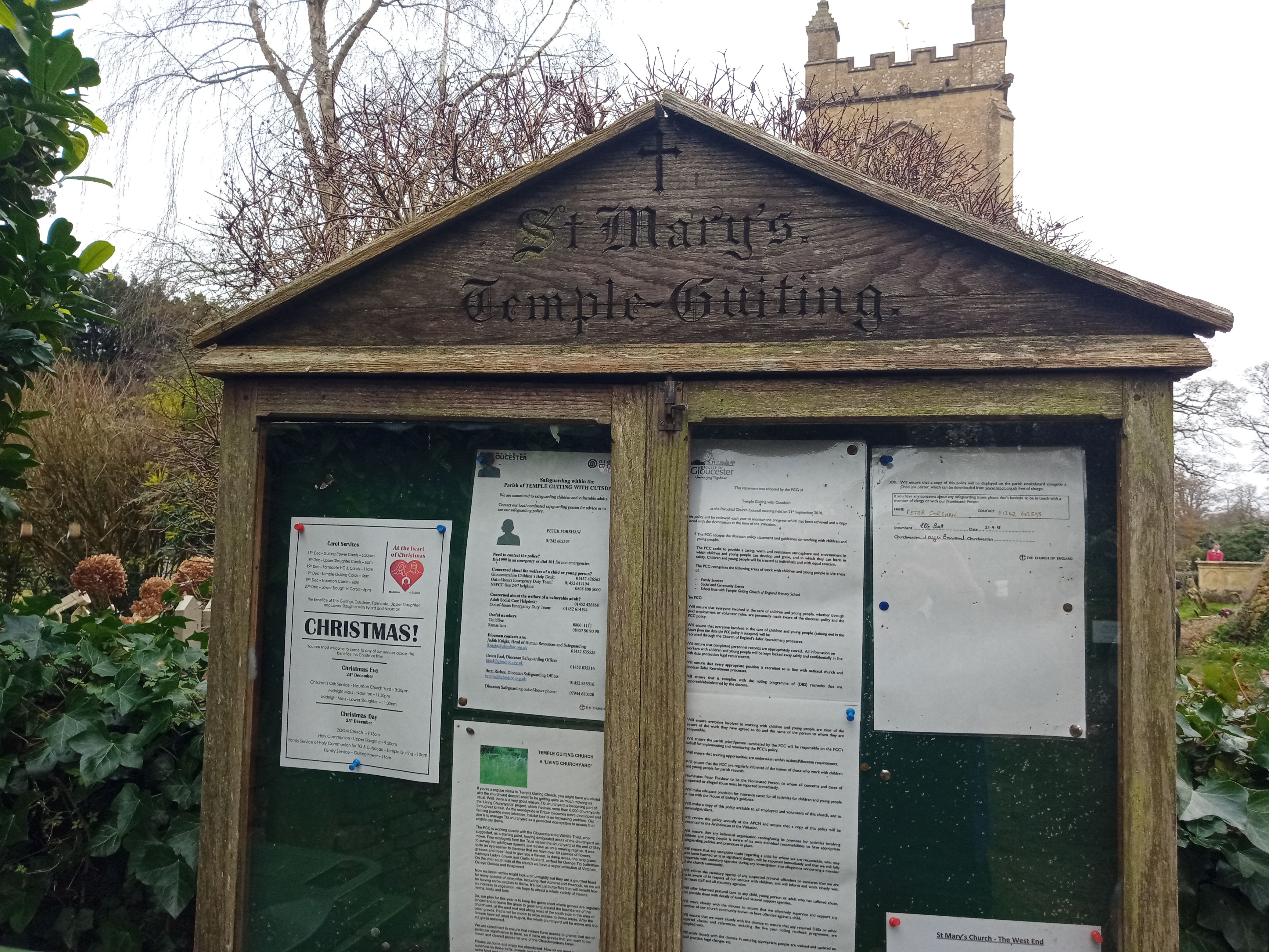
St Mary Church is located at Temple Guiting, Cotswold District ,Gloucestershire , GL54 5RWEngland.
-
St Mary Church cemetery's updated grave count on graveviews.com?
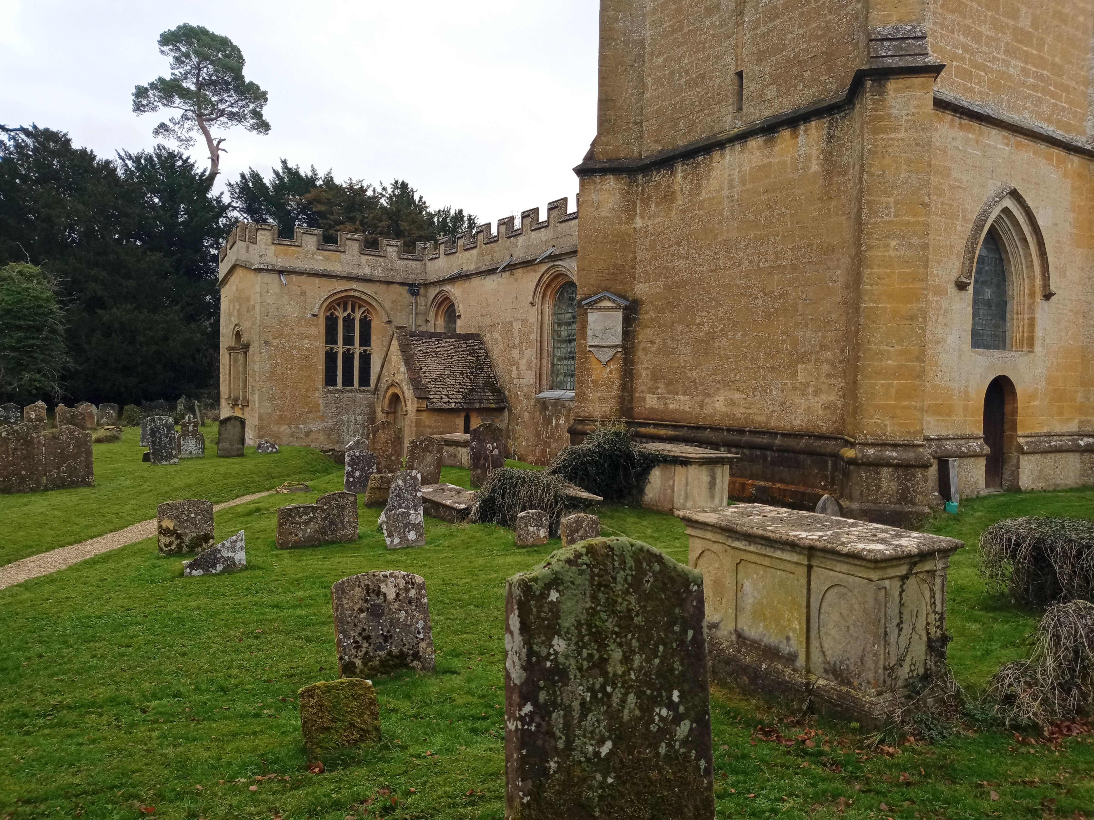
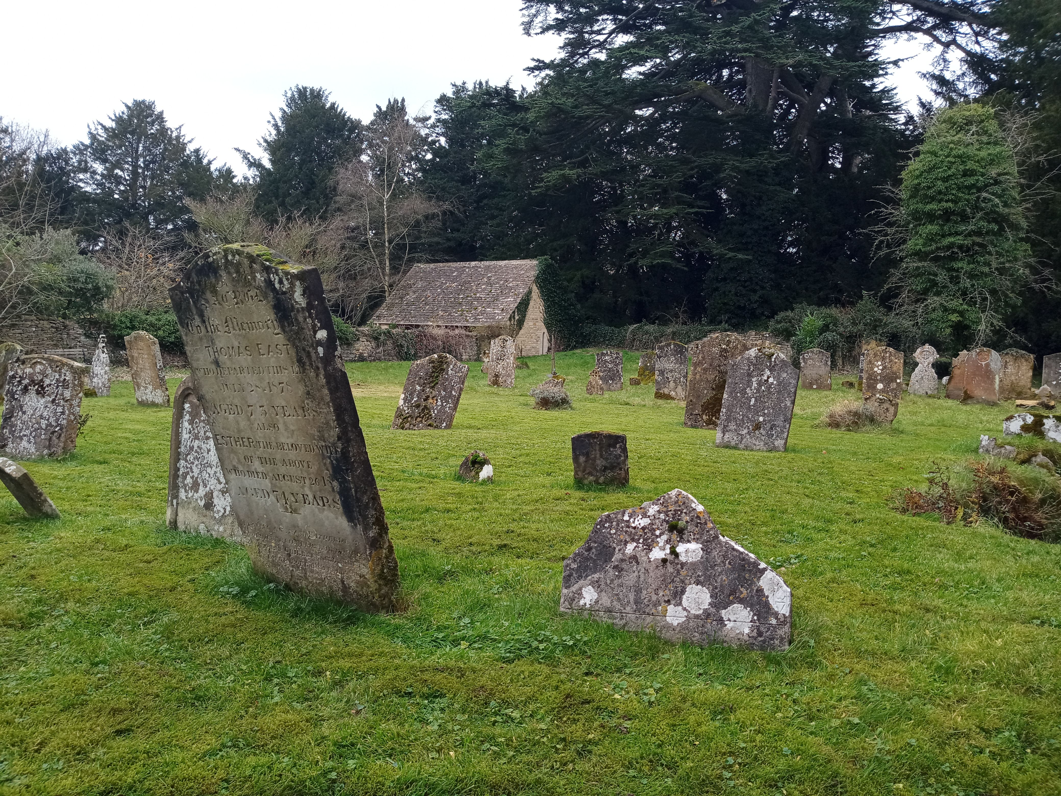
6 memorials
-
Where are the coordinates of the St Mary Church?
Latitude: 51.9510000
Longitude: -1.8668000
Nearby Cemetories:
1. St. Faith's Churchyard
Winchcombe, Tewkesbury Borough, England
Coordinate: 51.9596440, -1.9119200
2. Hailes Abbey
Hailes, Tewkesbury Borough, England
Coordinate: 51.9685690, -1.9283720
3. Hailes Chapelyard
Hailes, Tewkesbury Borough, England
Coordinate: 51.9697420, -1.9279790
4. St. George's Churchyard
Didbrook, Tewkesbury Borough, England
Coordinate: 51.9807170, -1.9211910
5. St Andrew's Churchyard
Naunton, Cotswold District, England
Coordinate: 51.9091340, -1.8384210
6. Naunton Baptist Chapel
Naunton, Cotswold District, England
Coordinate: 51.9092073, -1.8356252
7. Saint Peter's Churchyard
Stanway, Tewkesbury Borough, England
Coordinate: 51.9896358, -1.9125280
8. St Barnabas Churchyard
Snowshill, Tewkesbury Borough, England
Coordinate: 52.0017600, -1.8608100
9. St. Mary's Chapel Sudeley Castle
Winchcombe, Tewkesbury Borough, England
Coordinate: 51.9474550, -1.9551930
10. St. Peter Churchyard
Winchcombe, Tewkesbury Borough, England
Coordinate: 51.9525100, -1.9679600
11. Winchcombe Abbey
Winchcombe, Tewkesbury Borough, England
Coordinate: 51.9535230, -1.9696000
12. St Andrew Churchyard
Toddington, Tewkesbury Borough, England
Coordinate: 51.9961510, -1.9502990
13. The Parish Church of St. Peter
Upper Slaughter, Cotswold District, England
Coordinate: 51.9074150, -1.7764140
14. St. Eadburgha New Churchyard
Broadway, Wychavon District, England
Coordinate: 52.0223000, -1.8591500
15. St. Michael Churchyard Extension
Buckland, Tewkesbury Borough, England
Coordinate: 52.0223380, -1.8816020
16. St Bartholomew Churchyard
Notgrove, Cotswold District, England
Coordinate: 51.8778620, -1.8426720
17. All Saints Churchyard Cold Salperton
Cotswold District, England
Coordinate: 51.8771977, -1.8895386
18. St Mary's Churchyard
Upper Swell, Cotswold District, England
Coordinate: 51.9398030, -1.7441910
19. St. Andrew's Churchyard
Sevenhampton, Tewkesbury Borough, England
Coordinate: 51.8941180, -1.9539430
20. St. James Churchyard
Longborough, Cotswold District, England
Coordinate: 51.9658220, -1.7407990
21. St. Mary's Churchyard
Lower Slaughter, Cotswold District, England
Coordinate: 51.9018830, -1.7605380
22. St Eadburgha Churchyard
Broadway, Wychavon District, England
Coordinate: 52.0343100, -1.8632560
23. St. Michael and All Angels Churchyard
Broadway, Wychavon District, England
Coordinate: 52.0343270, -1.8632960
24. St Saviour's Roman Catholic Churchyard
Broadway, Wychavon District, England
Coordinate: 52.0385690, -1.8569250