
| Memorials | : | 133 |
| Location | : | Naunton, Cotswold District, England |
| Coordinate | : | 51.9091340, -1.8384210 |
frequently asked questions (FAQ):
-
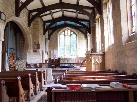
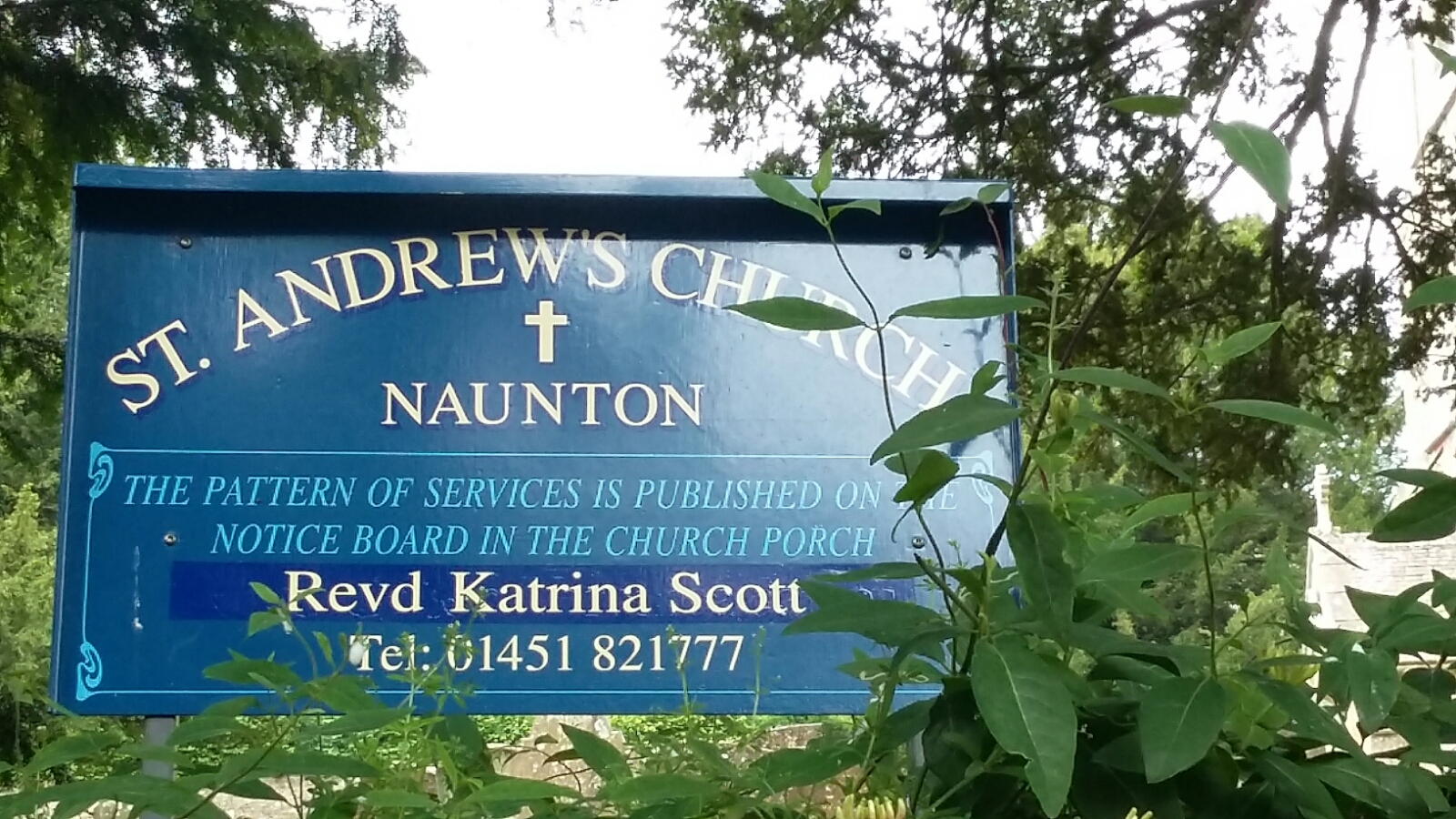
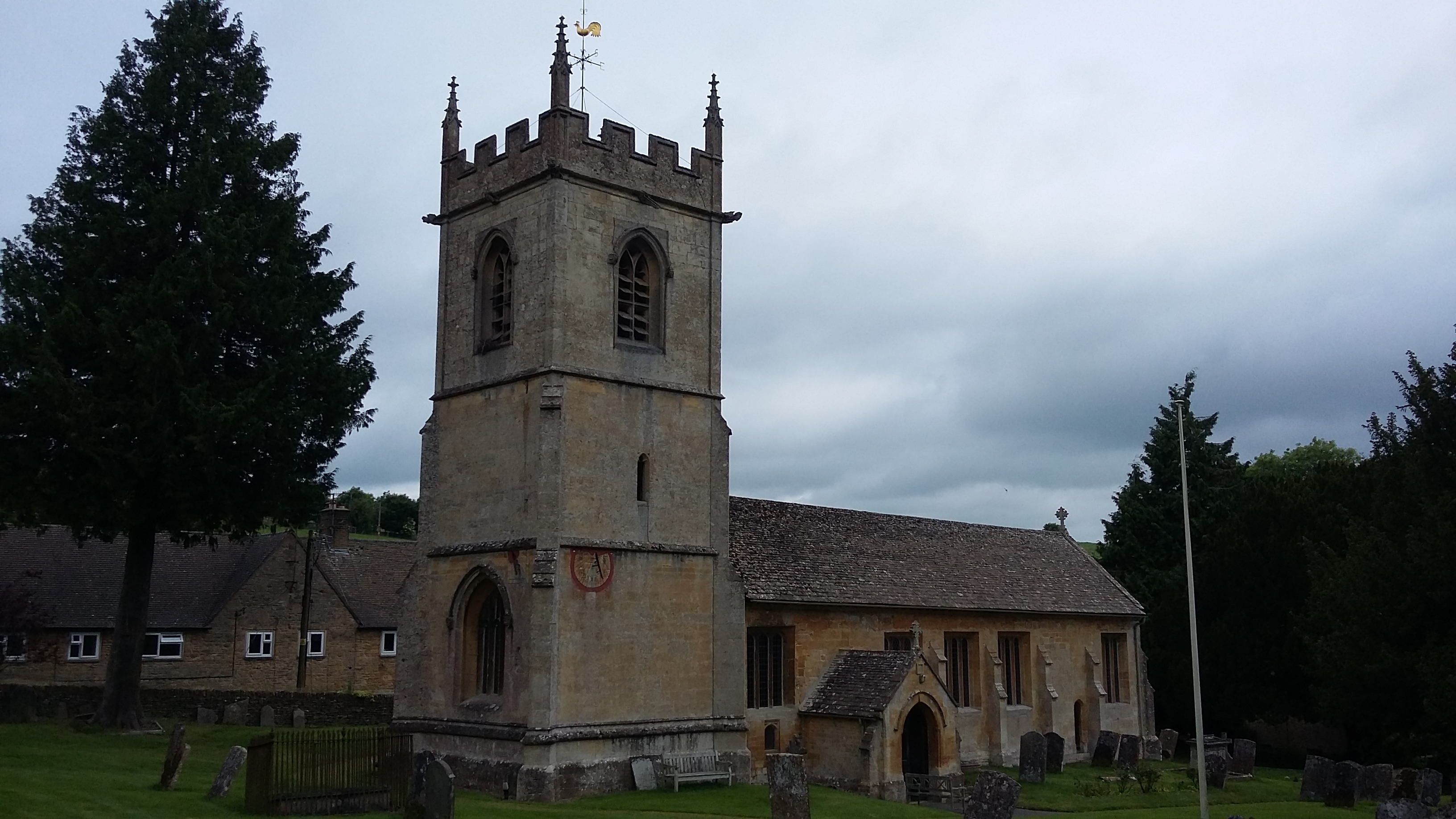
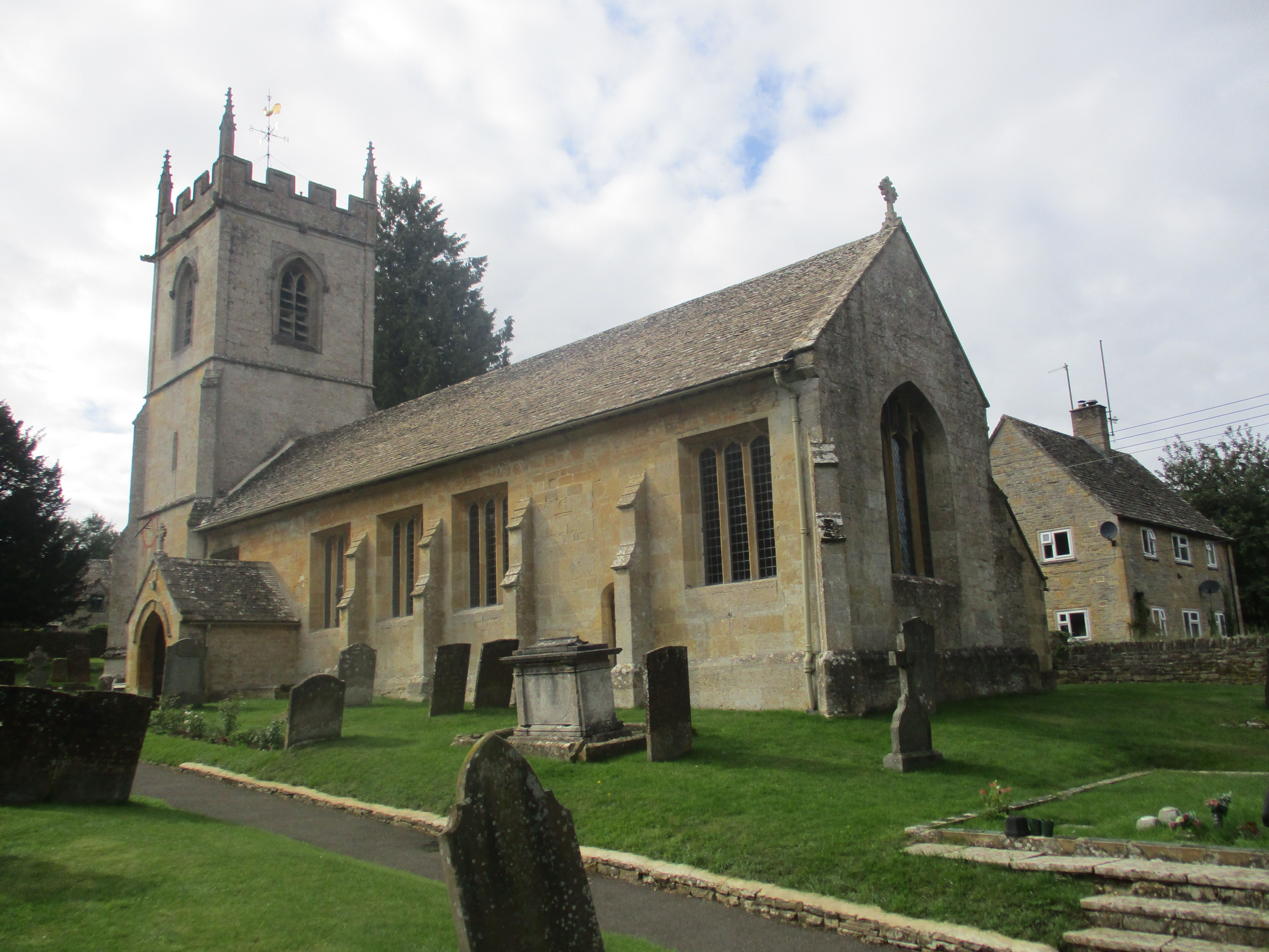
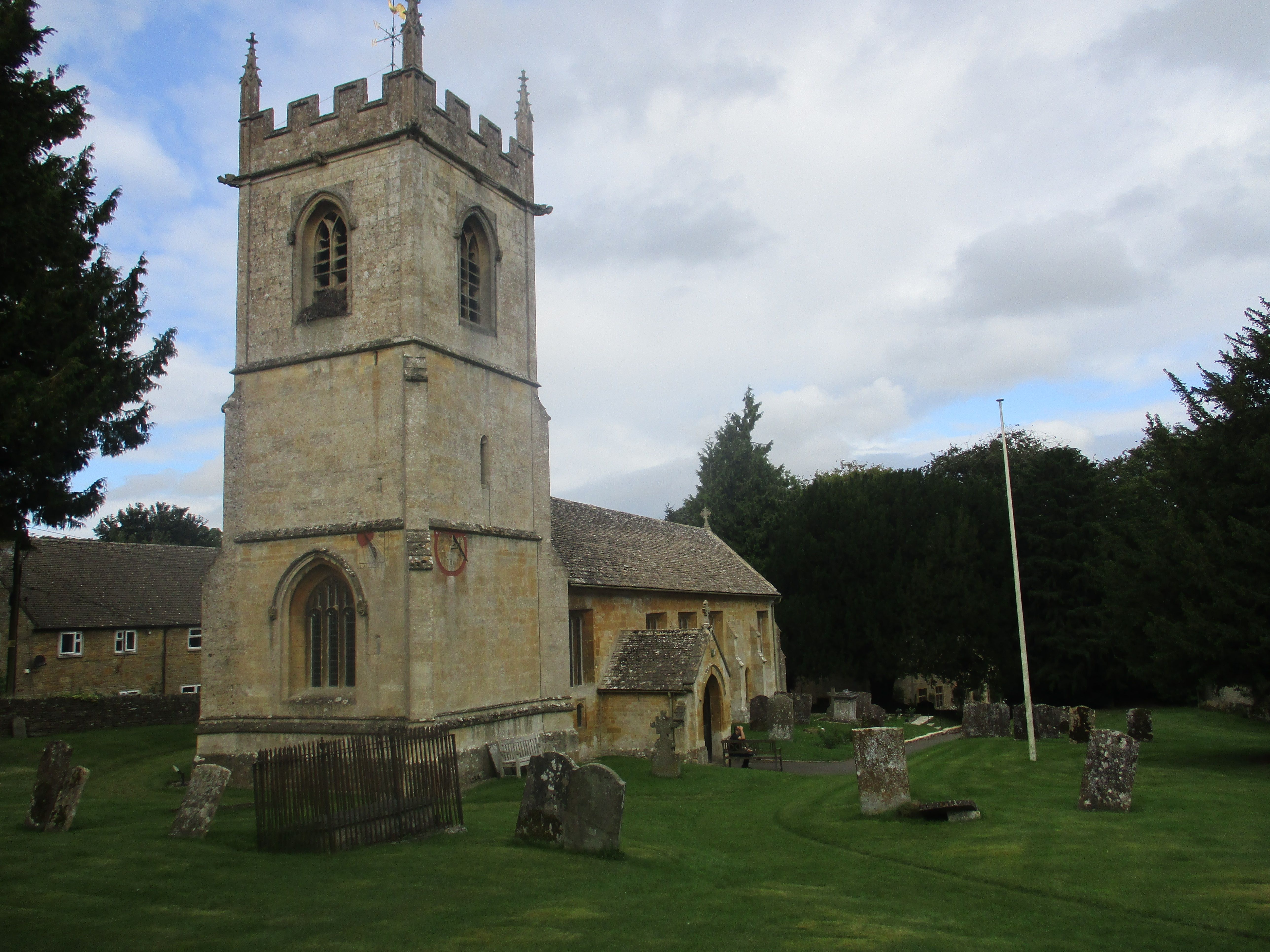
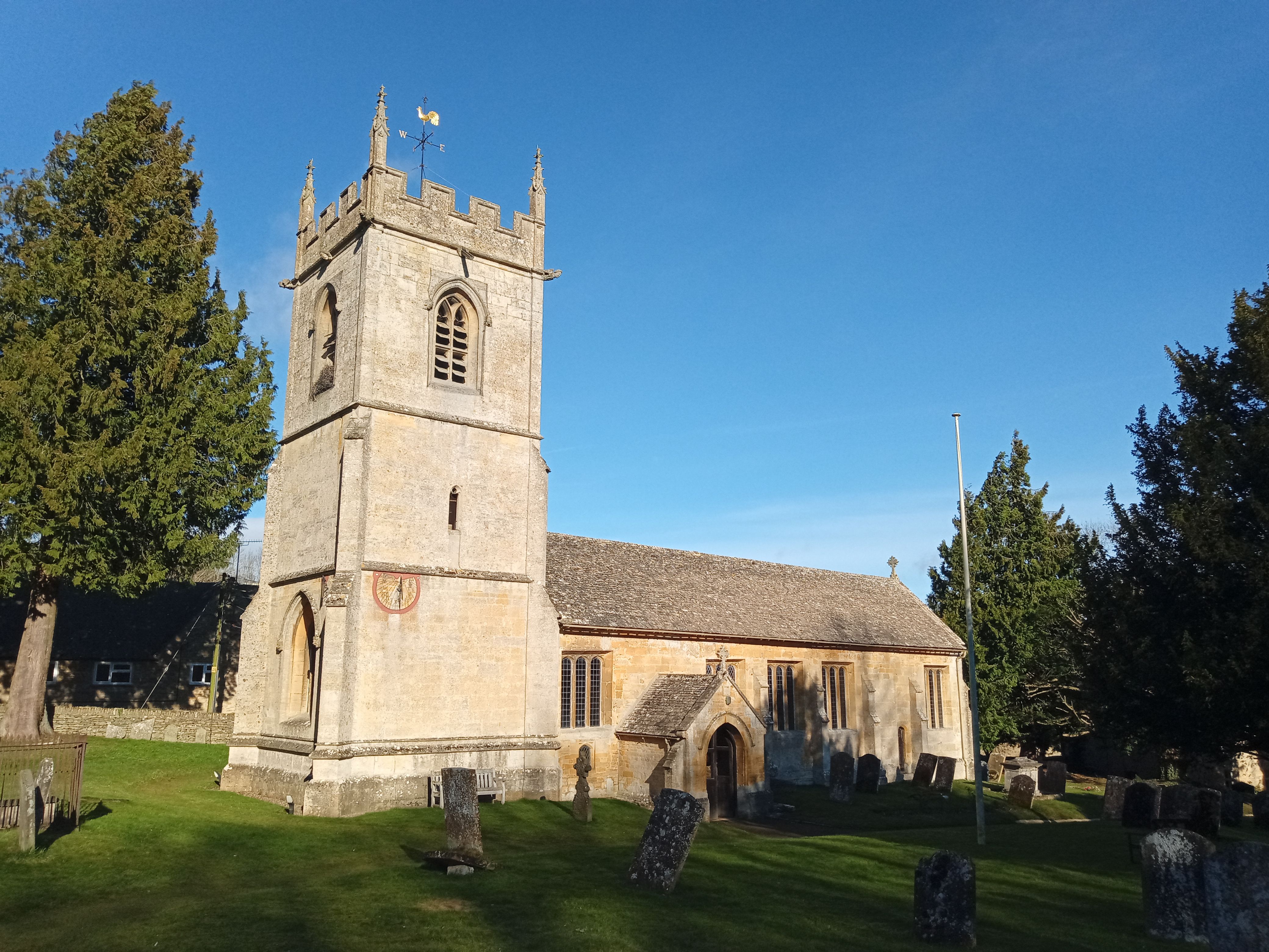
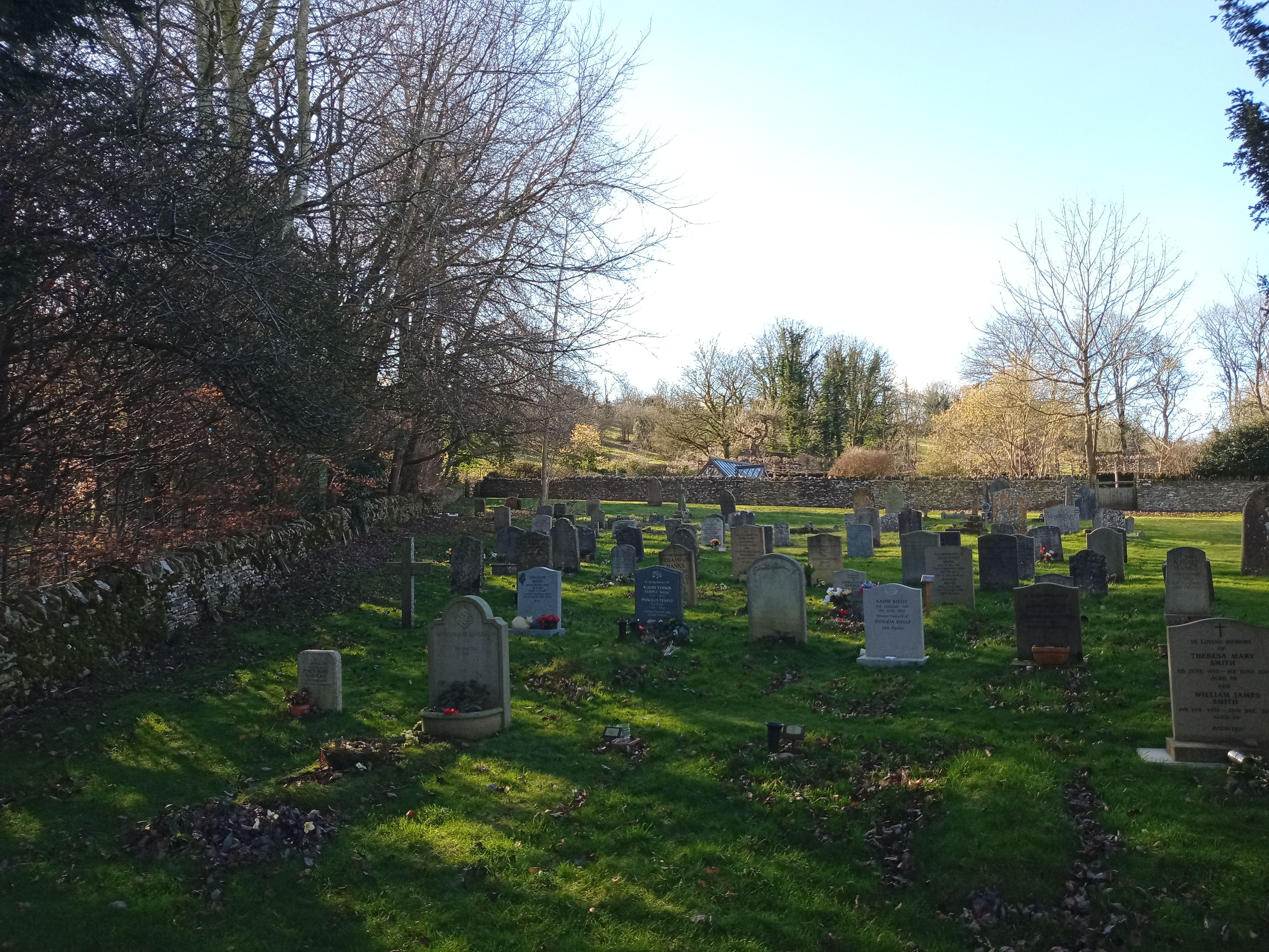
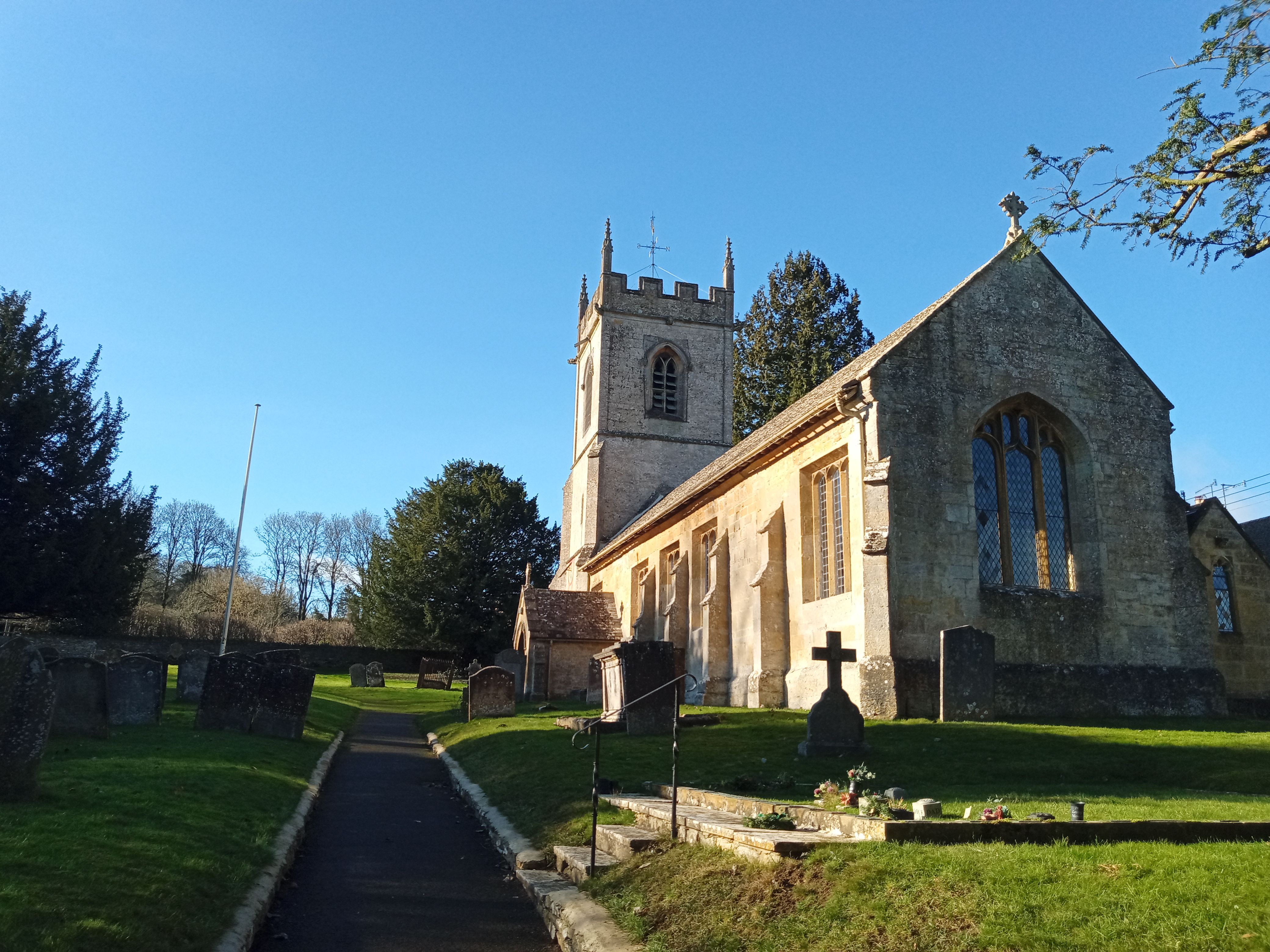
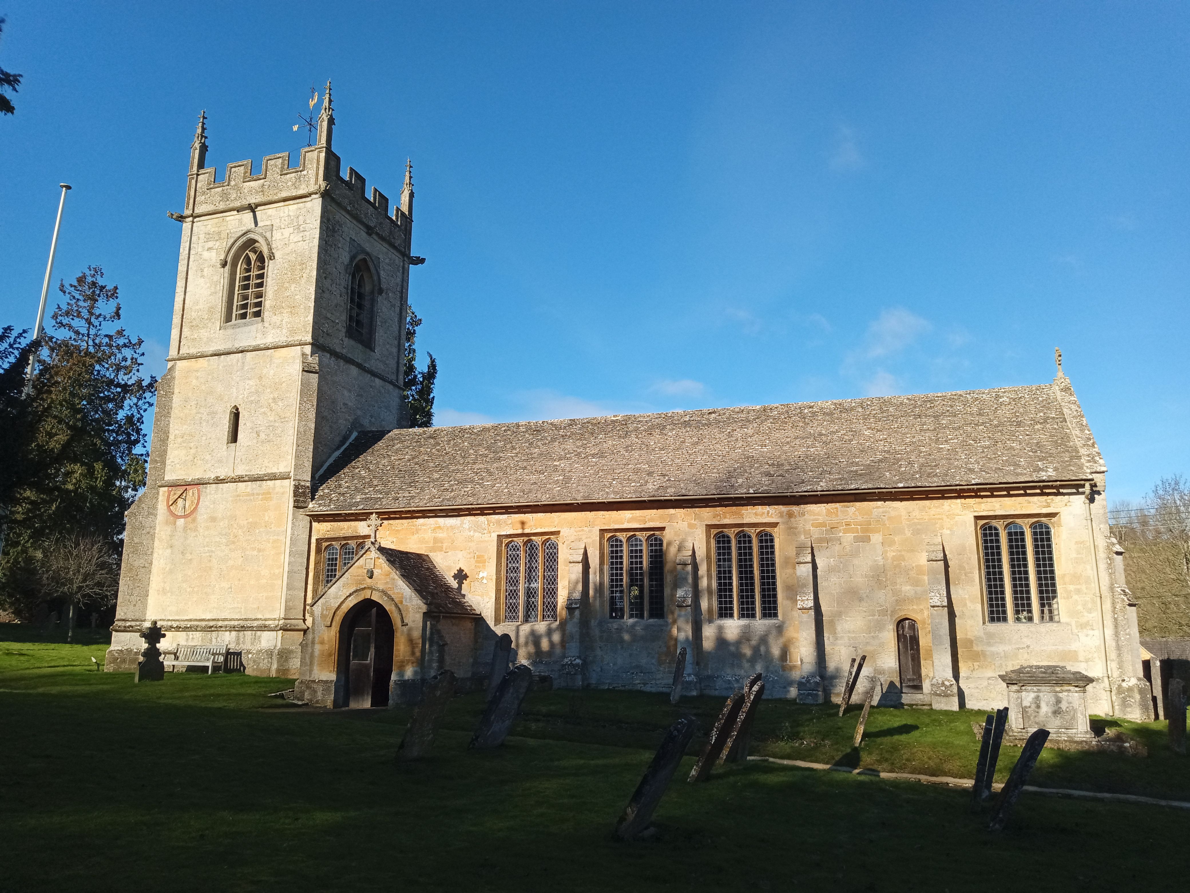
Where is St Andrew's Churchyard?
St Andrew's Churchyard is located at Naunton, Cotswold District ,Gloucestershire ,England.
-
St Andrew's Churchyard cemetery's updated grave count on graveviews.com?
133 memorials
-
Where are the coordinates of the St Andrew's Churchyard?
Latitude: 51.9091340
Longitude: -1.8384210

Nearby Cemetories:
1. Naunton Baptist Chapel
Naunton, Cotswold District, England
Coordinate: 51.9092073, -1.8356252
2. St Bartholomew Churchyard
Notgrove, Cotswold District, England
Coordinate: 51.8778620, -1.8426720
3. The Parish Church of St. Peter
Upper Slaughter, Cotswold District, England
Coordinate: 51.9074150, -1.7764140
4. All Saints Churchyard Cold Salperton
Cotswold District, England
Coordinate: 51.8771977, -1.8895386
5. St Mary Church
Temple Guiting, Cotswold District, England
Coordinate: 51.9510000, -1.8668000
6. St. Mary's Churchyard
Lower Slaughter, Cotswold District, England
Coordinate: 51.9018830, -1.7605380
7. All Saints Churchyard
Turkdean, Cotswold District, England
Coordinate: 51.8554710, -1.8456120
8. St Lawrence Churchyard
Bourton-on-the-Water, Cotswold District, England
Coordinate: 51.8860500, -1.7588250
9. Baptist Churchyard
Bourton-on-the-Water, Cotswold District, England
Coordinate: 51.8856973, -1.7530678
10. Water Cemetery
Bourton-on-the-Water, Cotswold District, England
Coordinate: 51.8853540, -1.7530440
11. St Mary's Churchyard
Upper Swell, Cotswold District, England
Coordinate: 51.9398030, -1.7441910
12. St. Faith's Churchyard
Winchcombe, Tewkesbury Borough, England
Coordinate: 51.9596440, -1.9119200
13. Stow-on-the-Wold Cemetery
Stow-on-the-Wold, Cotswold District, England
Coordinate: 51.9264100, -1.7254670
14. St. Andrew's Churchyard
Sevenhampton, Tewkesbury Borough, England
Coordinate: 51.8941180, -1.9539430
15. St. Edward Churchyard
Stow-on-the-Wold, Cotswold District, England
Coordinate: 51.9299810, -1.7238290
16. St. Peter's Churchyard
Little Rissington, Cotswold District, England
Coordinate: 51.8780460, -1.7262610
17. Church of St. Oswald
Compton Abdale, Cotswold District, England
Coordinate: 51.8481353, -1.9148839
18. SS Peter & Paul
Northleach, Cotswold District, England
Coordinate: 51.8295720, -1.8390300
19. Hailes Abbey
Hailes, Tewkesbury Borough, England
Coordinate: 51.9685690, -1.9283720
20. St. Mary's Chapel Sudeley Castle
Winchcombe, Tewkesbury Borough, England
Coordinate: 51.9474550, -1.9551930
21. Hailes Chapelyard
Hailes, Tewkesbury Borough, England
Coordinate: 51.9697420, -1.9279790
22. St. James Churchyard
Longborough, Cotswold District, England
Coordinate: 51.9658220, -1.7407990
23. St. George's Churchyard
Didbrook, Tewkesbury Borough, England
Coordinate: 51.9807170, -1.9211910
24. St Paul Churchyard
Broadwell, Cotswold District, England
Coordinate: 51.9476200, -1.7095100