
| Memorials | : | 0 |
| Location | : | Buckland, Tewkesbury Borough, England |
| Coordinate | : | 52.0223380, -1.8816020 |
| Description | : | Buckland is a village and civil parish in the borough of Tewkesbury, Gloucestershire, England. The village is close to the Worcestershire border and just over a mile south of Broadway. East of the village is the Burhill iron age hillfort. To the south, and within Buckland Parish, is the hamlet of Laverton. Within the village itself is the medieval Church of St Michael, a seventeenth-century manor house, and what claims to be the oldest Rectory in England. The name 'Buckland' originates from Anglo-Saxon 'Boc-land', meaning land assigned under a charter, as distinct from the 'Folc-land' which bases its ownership on... Read More |
frequently asked questions (FAQ):
-
Where is St. Michael Churchyard Extension?
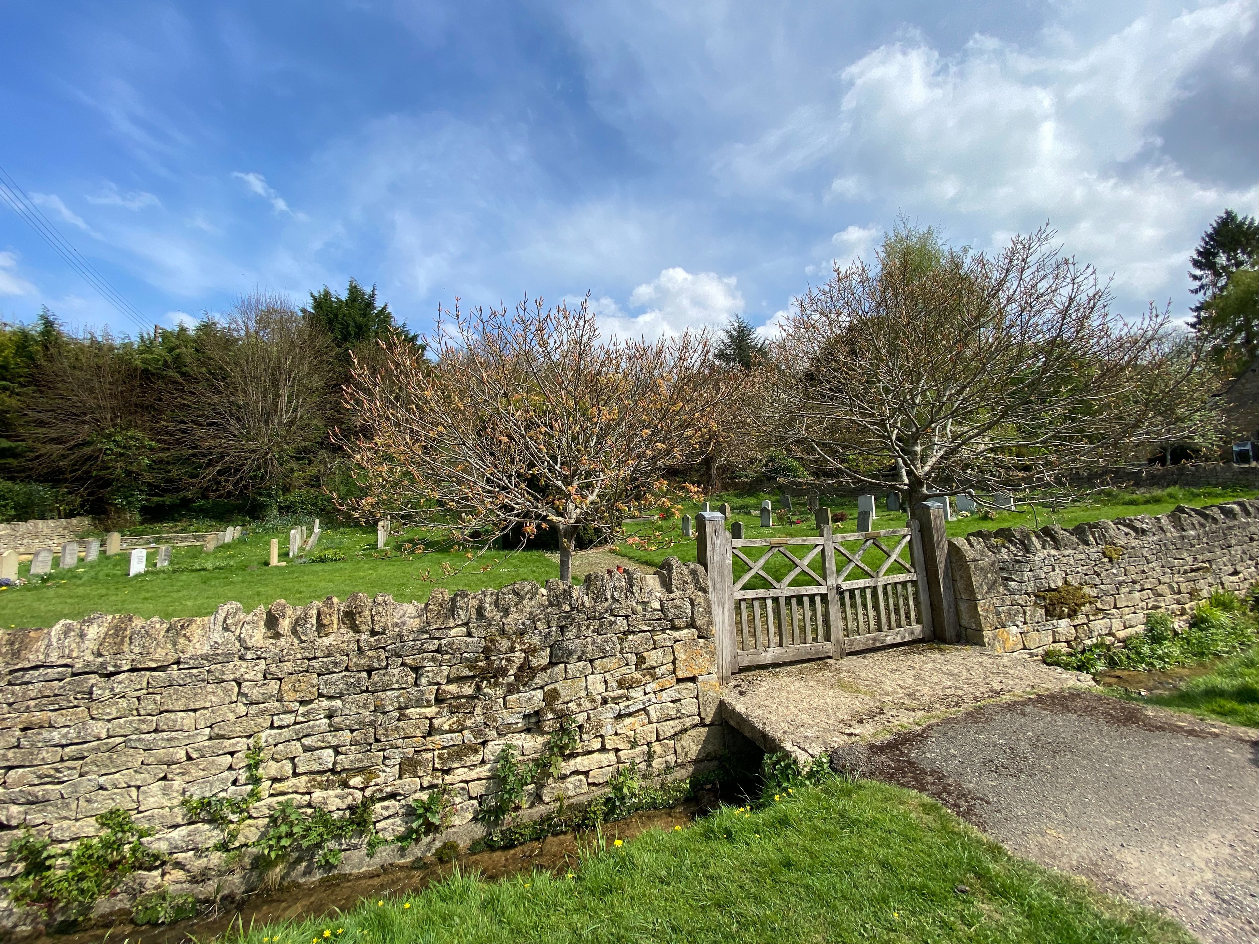
St. Michael Churchyard Extension is located at Buckland, Tewkesbury Borough ,Gloucestershire , WR12 7LYEngland.
-
St. Michael Churchyard Extension cemetery's updated grave count on graveviews.com?
0 memorials
-
Where are the coordinates of the St. Michael Churchyard Extension?
Latitude: 52.0223380
Longitude: -1.8816020

Nearby Cemetories:
1. St. Eadburgha New Churchyard
Broadway, Wychavon District, England
Coordinate: 52.0223000, -1.8591500
2. St. Michael and All Angels Churchyard
Broadway, Wychavon District, England
Coordinate: 52.0343270, -1.8632960
3. St Eadburgha Churchyard
Broadway, Wychavon District, England
Coordinate: 52.0343100, -1.8632560
4. St Saviour's Roman Catholic Churchyard
Broadway, Wychavon District, England
Coordinate: 52.0385690, -1.8569250
5. St Mary's Churchyard
Childswickham, Wychavon District, England
Coordinate: 52.0440000, -1.8919000
6. St Barnabas Churchyard
Snowshill, Tewkesbury Borough, England
Coordinate: 52.0017600, -1.8608100
7. St Mary's Church
Aston Somerville, Wychavon District, England
Coordinate: 52.0392000, -1.9323000
8. Saint Peter's Churchyard
Stanway, Tewkesbury Borough, England
Coordinate: 51.9896358, -1.9125280
9. St. Katherine's Churchyard
Wormington, Tewkesbury Borough, England
Coordinate: 52.0263100, -1.9447000
10. St. George's Churchyard
Didbrook, Tewkesbury Borough, England
Coordinate: 51.9807170, -1.9211910
11. St Andrew Churchyard
Toddington, Tewkesbury Borough, England
Coordinate: 51.9961510, -1.9502990
12. Wickhamford Parish Cemetery
Wickhamford, Wychavon District, England
Coordinate: 52.0778657, -1.8986902
13. St Mary the Virgin Churchyard
Sedgeberrow, Wychavon District, England
Coordinate: 52.0451836, -1.9656947
14. St. John the Baptist Churchyard
Wickhamford, Wychavon District, England
Coordinate: 52.0786800, -1.9021300
15. St Peters Churchyard
Dumbleton, Tewkesbury Borough, England
Coordinate: 52.0204700, -1.9759700
16. Hailes Chapelyard
Hailes, Tewkesbury Borough, England
Coordinate: 51.9697420, -1.9279790
17. Hailes Abbey
Hailes, Tewkesbury Borough, England
Coordinate: 51.9685690, -1.9283720
18. St Peters Churchyard
Hinton on the Green, Wychavon District, England
Coordinate: 52.0587100, -1.9658300
19. St. James' Churchyard
Badsey, Wychavon District, England
Coordinate: 52.0863700, -1.8978500
20. St Catherine's Cemetery
Chipping Campden, Cotswold District, England
Coordinate: 52.0495800, -1.7850600
21. St. Faith's Churchyard
Winchcombe, Tewkesbury Borough, England
Coordinate: 51.9596440, -1.9119200
22. St. Leonard's Churchyard
Bretforton, Wychavon District, England
Coordinate: 52.0926100, -1.8657200
23. St Andrew's Church
Aston Subedge, Cotswold District, England
Coordinate: 52.0729286, -1.7994658
24. St Mary Church
Temple Guiting, Cotswold District, England
Coordinate: 51.9510000, -1.8668000