
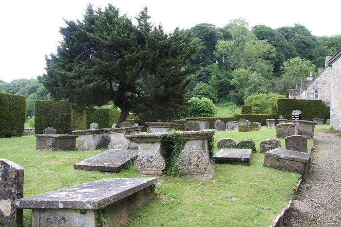
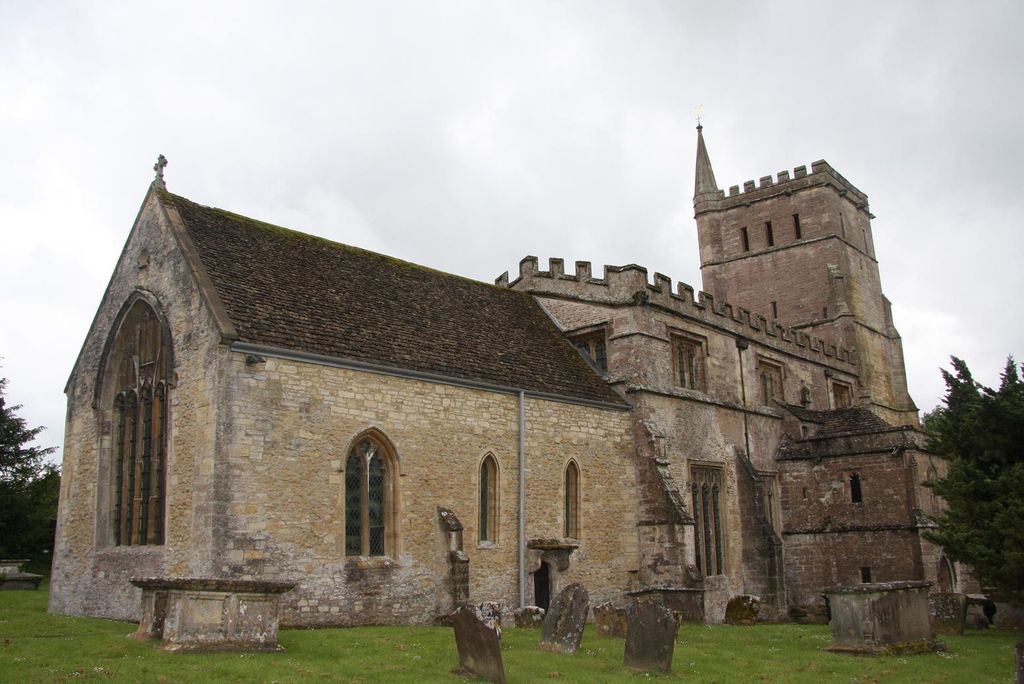
| Memorials | : | 1 |
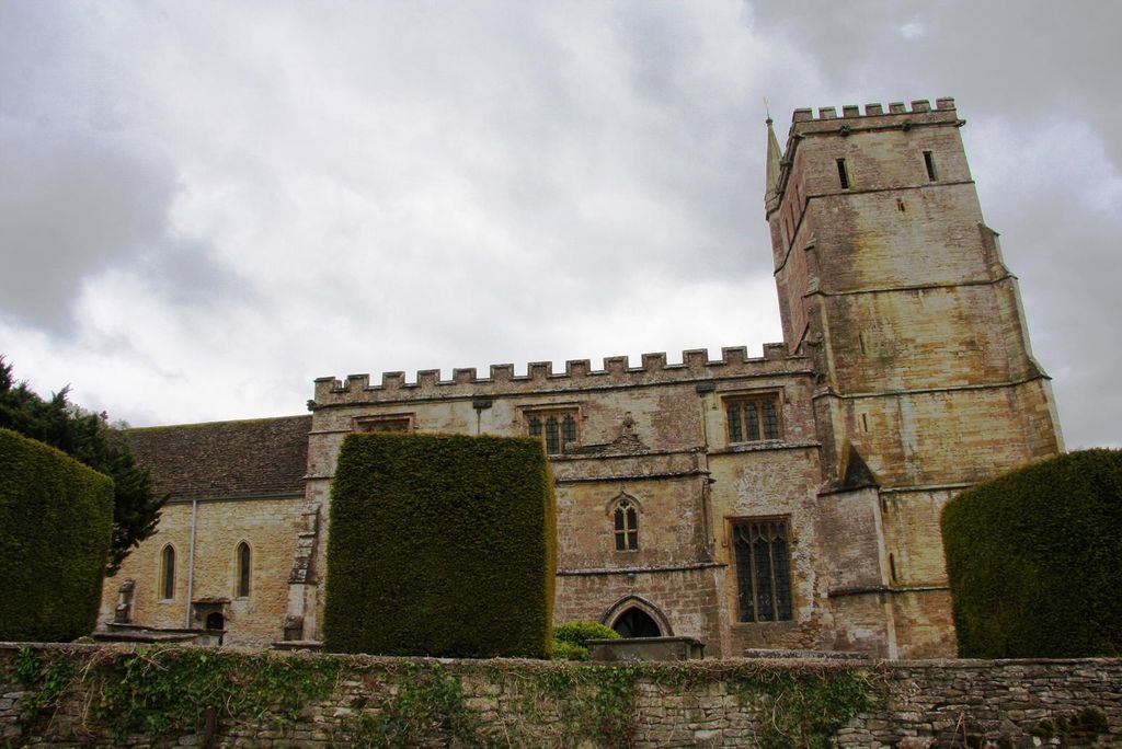
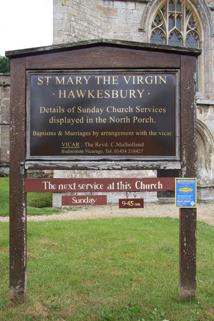
| Location | : | Hawkesbury, South Gloucestershire Unitary Authority, England |
| Coordinate | : | 51.5807290, -2.3359910 |
frequently asked questions (FAQ):
-
Where is St Mary Churchyard?
St Mary Churchyard is located at Hawkesbury, South Gloucestershire Unitary Authority ,Gloucestershire ,England.
-
St Mary Churchyard cemetery's updated grave count on graveviews.com?
1 memorials
-
Where are the coordinates of the St Mary Churchyard?
Latitude: 51.5807290
Longitude: -2.3359910
Nearby Cemetories:
1. Horton Church Cemetery
Horton, South Gloucestershire Unitary Authority, England
Coordinate: 51.5647100, -2.3388100
2. St James the Elder Churchyard
Horton, South Gloucestershire Unitary Authority, England
Coordinate: 51.5637860, -2.3390110
3. Hillesley Baptist Churchyard
Hillesley, Stroud District, England
Coordinate: 51.6054787, -2.3318073
4. St Kenelm Churchyard
Alderley, Stroud District, England
Coordinate: 51.6155170, -2.3357530
5. St Michael and All Angels Churchyard
Little Badminton, South Gloucestershire Unitary Authority, England
Coordinate: 51.5572610, -2.2888360
6. Holy Trinity Churchyard
Wickwar, South Gloucestershire Unitary Authority, England
Coordinate: 51.5985120, -2.4006930
7. Saint John the Baptist Churchyard
Old Sodbury, South Gloucestershire Unitary Authority, England
Coordinate: 51.5336010, -2.3561470
8. Kingswood Abbey
Kingswood, Stroud District, England
Coordinate: 51.6264381, -2.3667738
9. St Michael and All Angels Churchyard
Badminton, South Gloucestershire Unitary Authority, England
Coordinate: 51.5442200, -2.2800310
10. Saint Michael's
Badminton, South Gloucestershire Unitary Authority, England
Coordinate: 51.5400900, -2.2818500
11. St. John the Baptist Churchyard
Chipping Sodbury, South Gloucestershire Unitary Authority, England
Coordinate: 51.5389590, -2.3944150
12. Wotton Baptist Churchyard
Wotton-under-Edge, Stroud District, England
Coordinate: 51.6371850, -2.3531940
13. St. Mary the Virgin Churchyard
Wotton-under-Edge, Stroud District, England
Coordinate: 51.6390390, -2.3480250
14. St Mary's Churchyard
Yate, South Gloucestershire Unitary Authority, England
Coordinate: 51.5431600, -2.4139020
15. St Nicholas Churchyard
Ozleworth, Cotswold District, England
Coordinate: 51.6380070, -2.2986530
16. Leighterton Church Cemetery
Leighterton, Cotswold District, England
Coordinate: 51.6176900, -2.2518400
17. St Mary's Churchyard ( Private )
Dodington, South Gloucestershire Unitary Authority, England
Coordinate: 51.5172820, -2.3588590
18. St Mary Churchyard
Acton Turville, South Gloucestershire Unitary Authority, England
Coordinate: 51.5263850, -2.2775330
19. St Mary Magdelene Churchyard
Tormarton, South Gloucestershire Unitary Authority, England
Coordinate: 51.5082250, -2.3334930
20. Church of the Holy Trinity
Rangeworthy, South Gloucestershire Unitary Authority, England
Coordinate: 51.5742000, -2.4536000
21. St Giles Churchyard
Alderton, Wiltshire Unitary Authority, England
Coordinate: 51.5461670, -2.2294570
22. St Andrew Churchyard
Cromhall, South Gloucestershire Unitary Authority, England
Coordinate: 51.6121930, -2.4456930
23. St Peter's Churchyard
Wapley, South Gloucestershire Unitary Authority, England
Coordinate: 51.5157000, -2.4137400
24. St Peter's Churchyard & Wapley Burial Ground
Dodington, South Gloucestershire Unitary Authority, England
Coordinate: 51.5157603, -2.4138814