
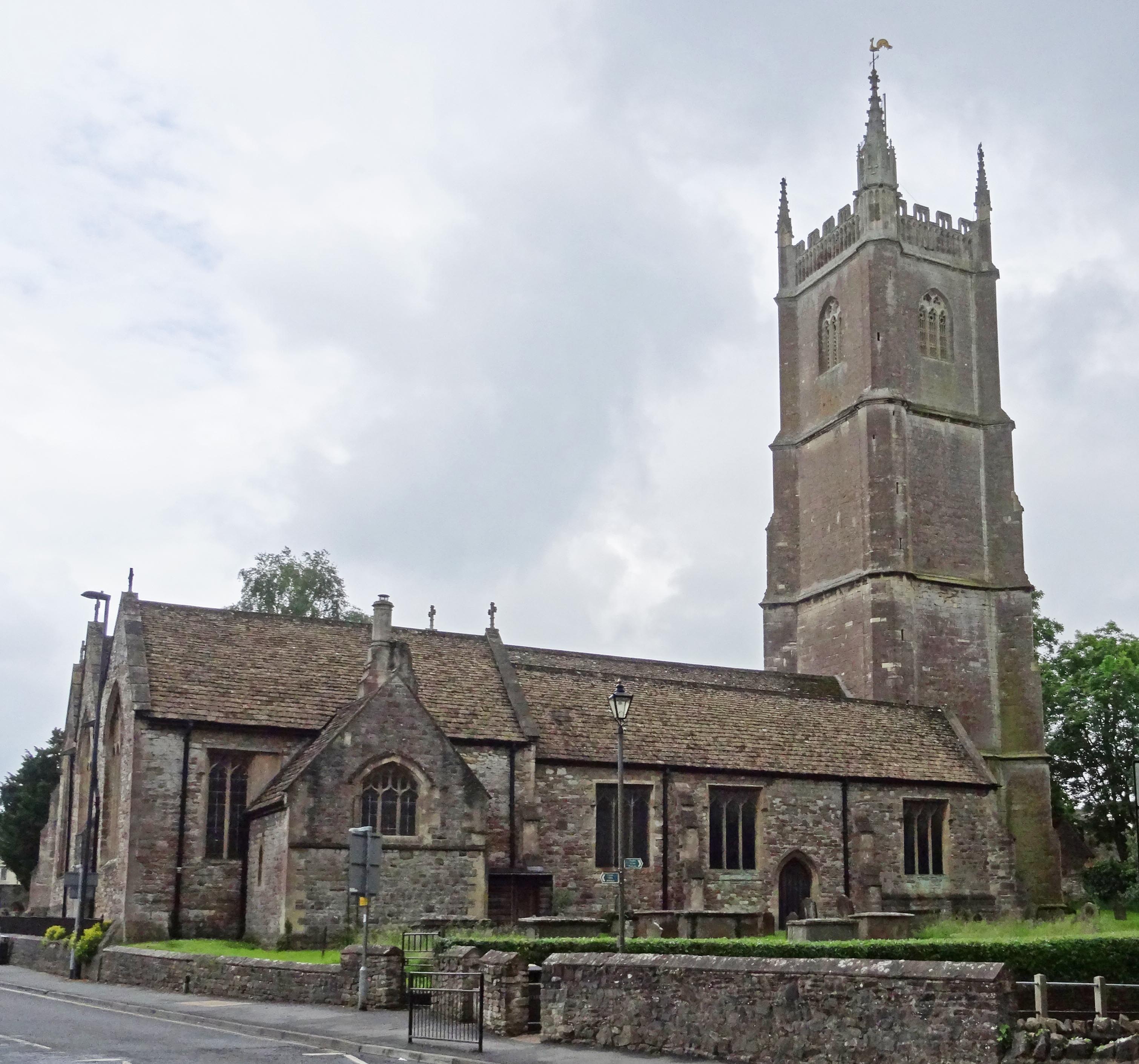
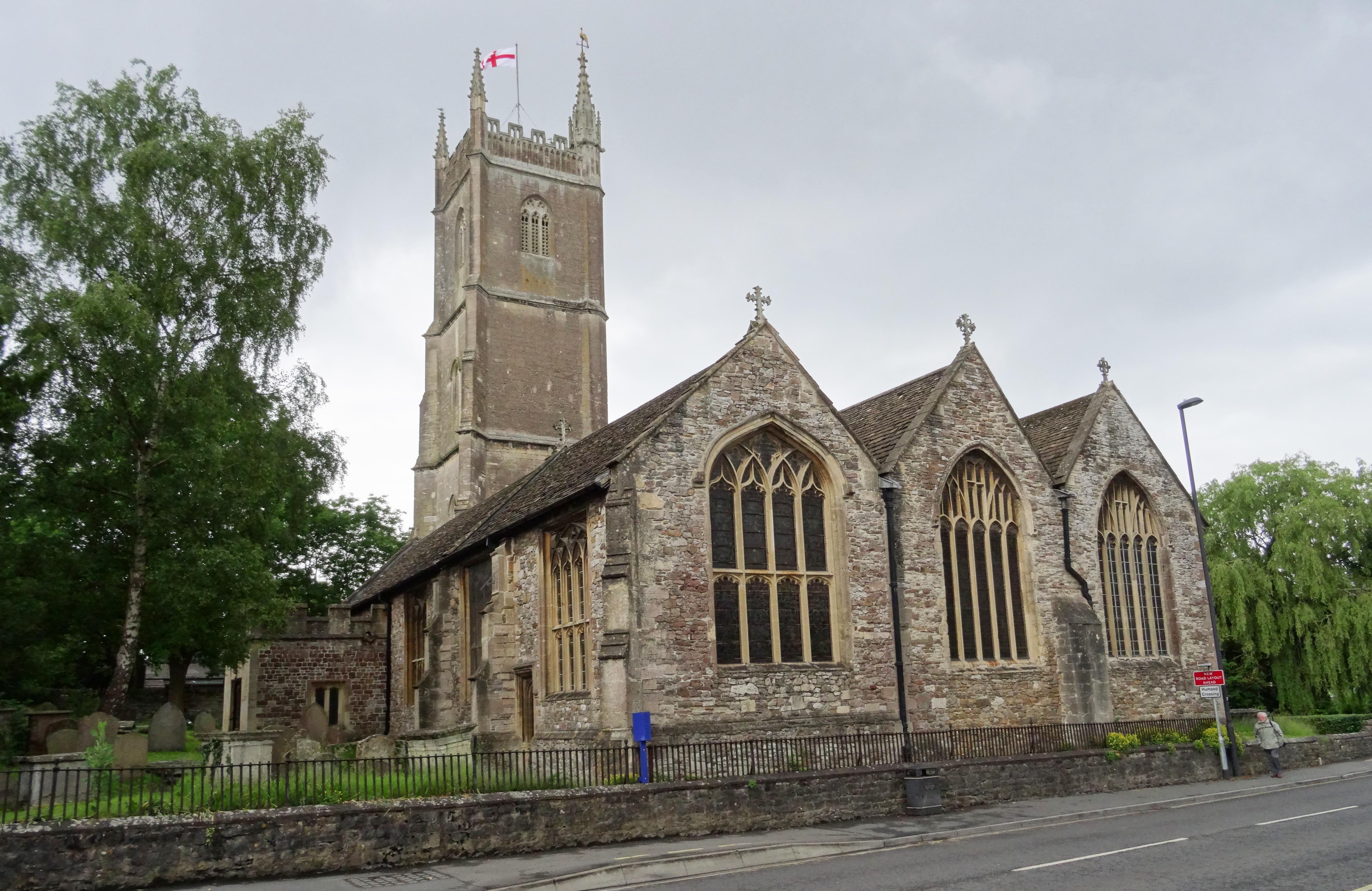
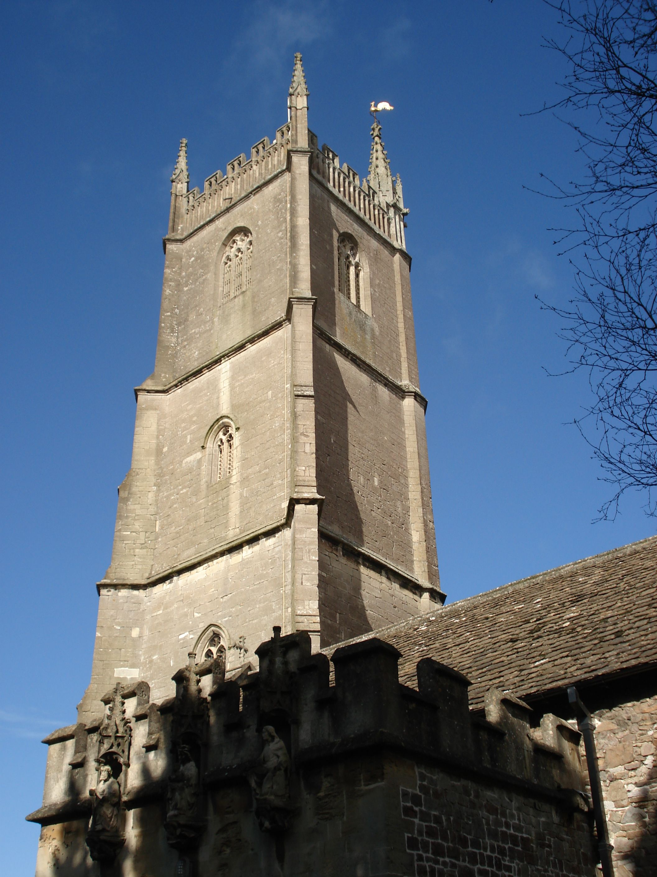
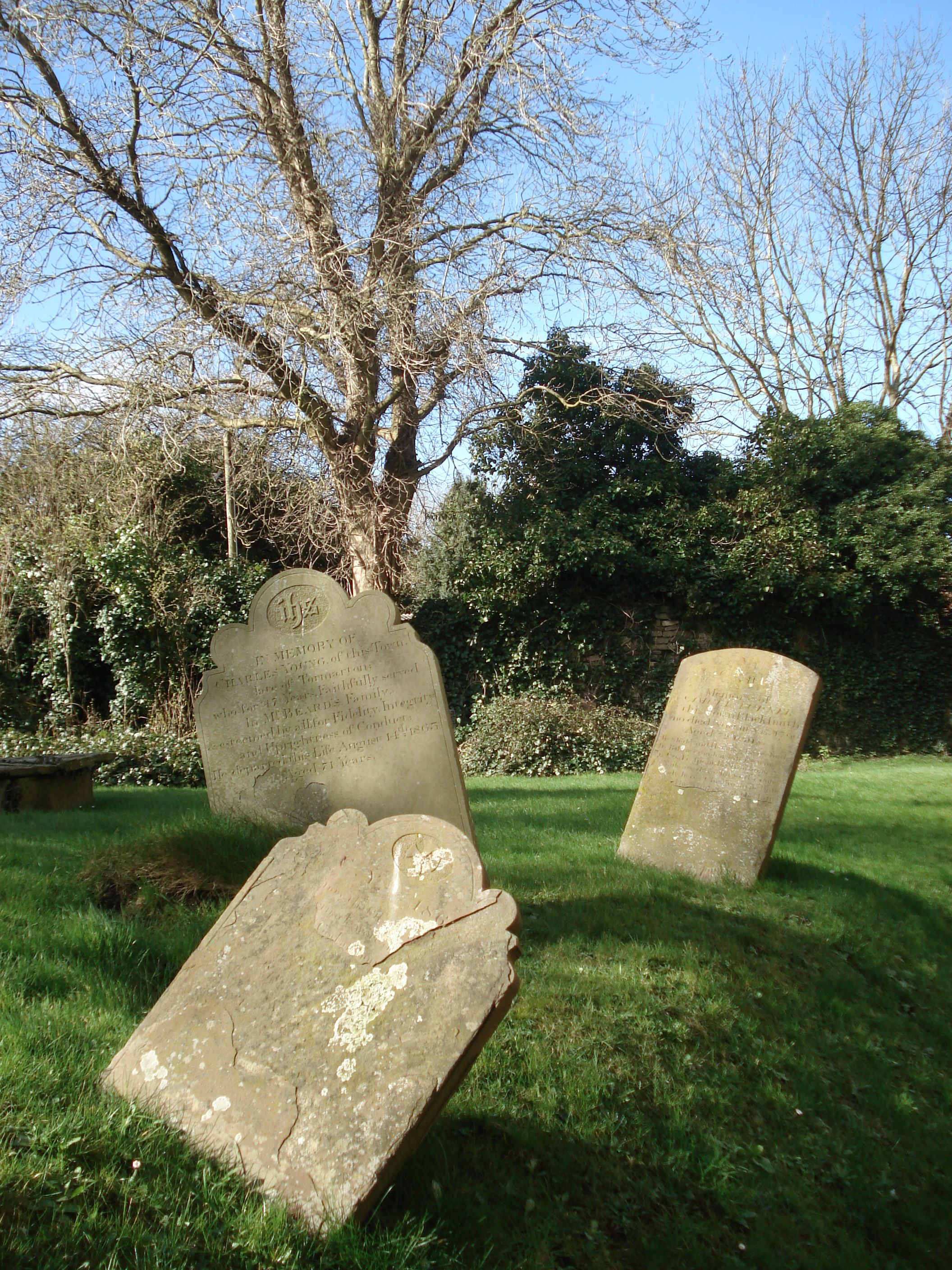
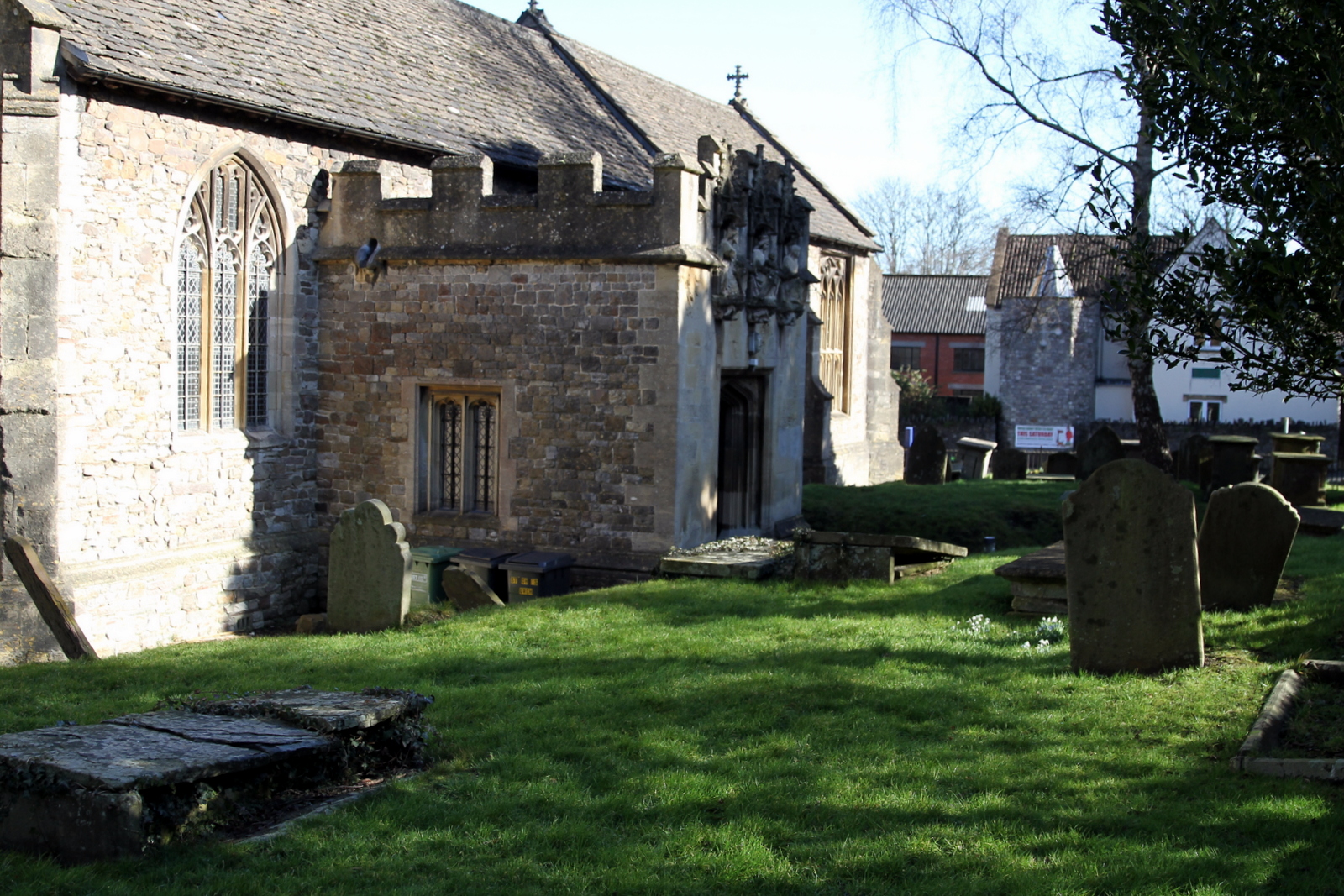
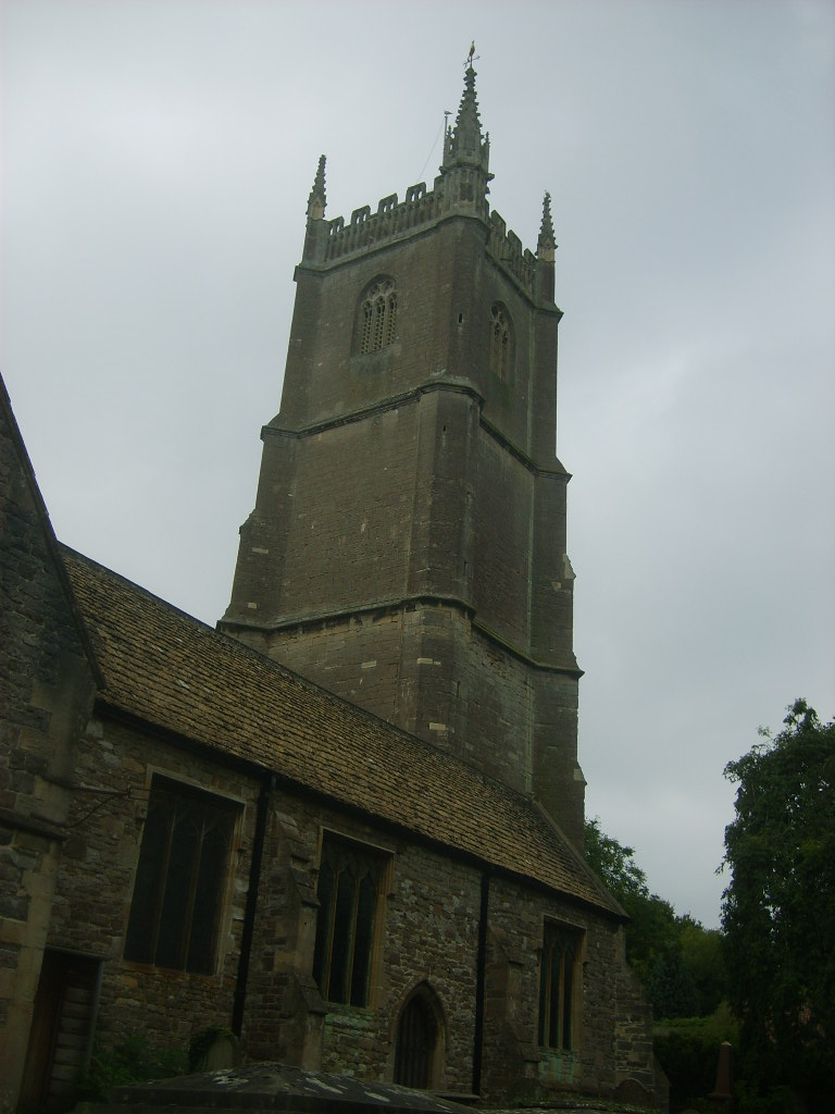
| Memorials | : | 0 |
| Location | : | Chipping Sodbury, South Gloucestershire Unitary Authority, England |
| Coordinate | : | 51.5389590, -2.3944150 |
frequently asked questions (FAQ):
-
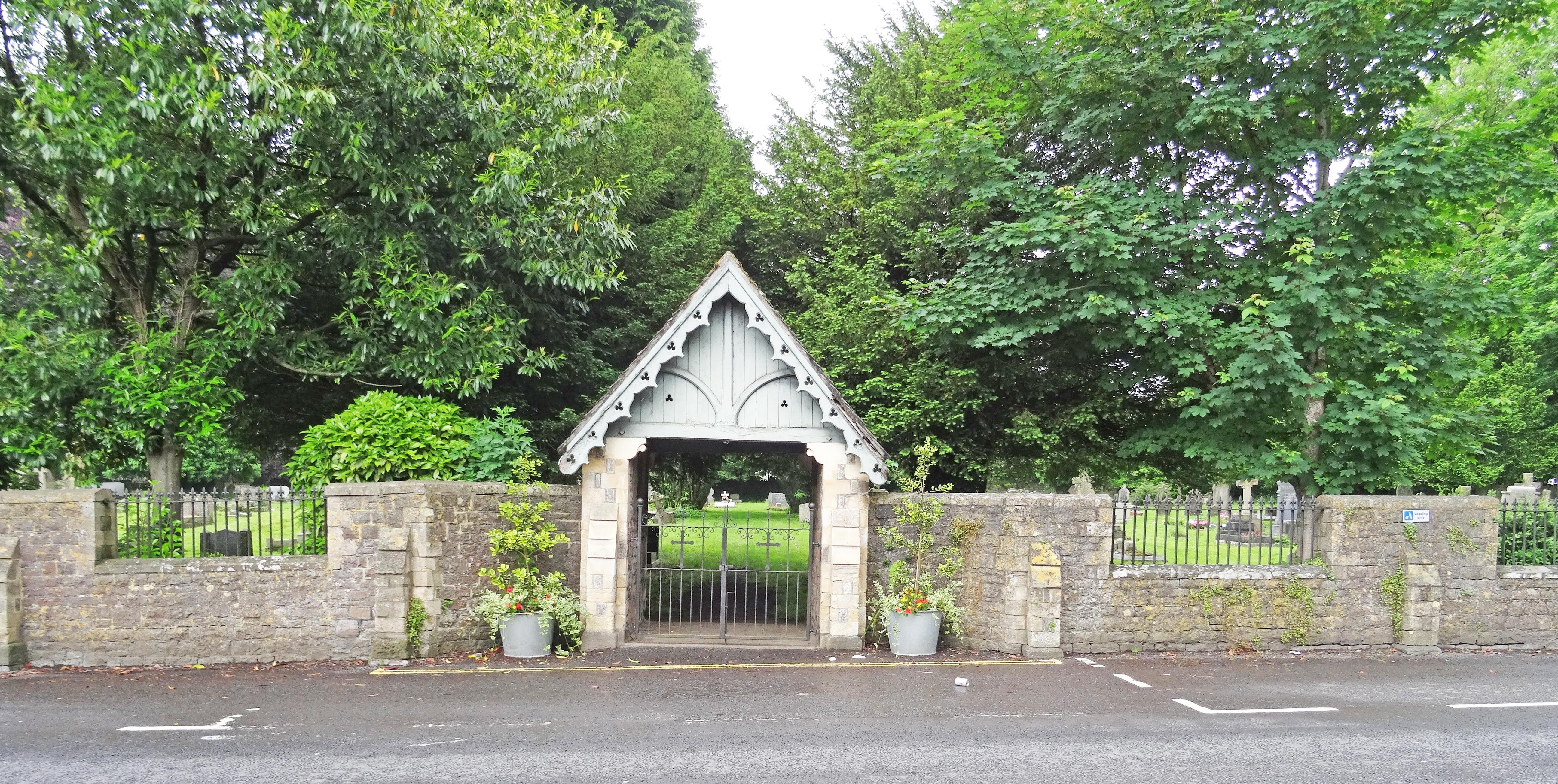
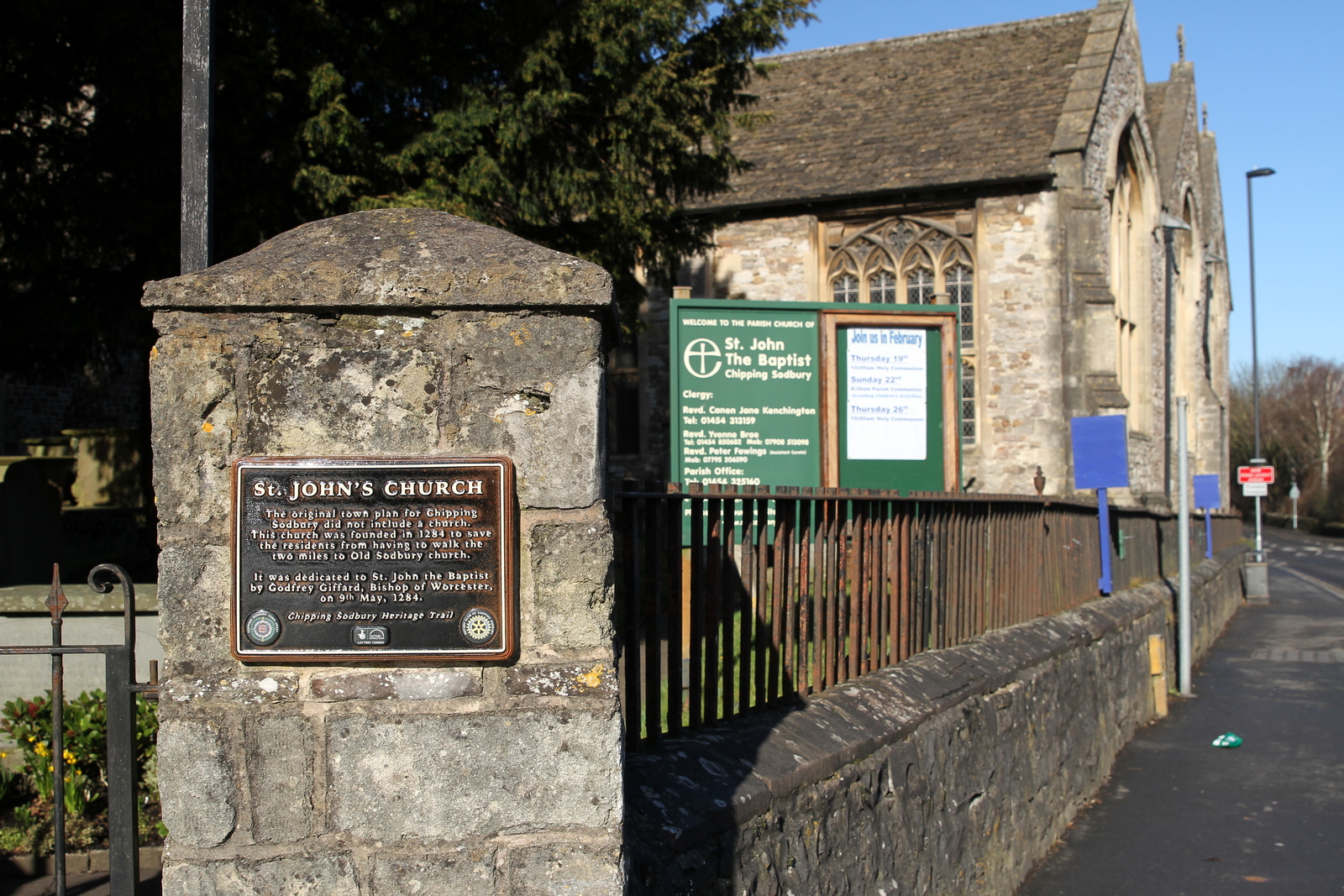
Where is St. John the Baptist Churchyard?
St. John the Baptist Churchyard is located at Chipping Sodbury, South Gloucestershire Unitary Authority ,Gloucestershire ,England.
-
St. John the Baptist Churchyard cemetery's updated grave count on graveviews.com?
0 memorials
-
Where are the coordinates of the St. John the Baptist Churchyard?
Latitude: 51.5389590
Longitude: -2.3944150
Nearby Cemetories:
1. St Mary's Churchyard
Yate, South Gloucestershire Unitary Authority, England
Coordinate: 51.5431600, -2.4139020
2. Saint John the Baptist Churchyard
Old Sodbury, South Gloucestershire Unitary Authority, England
Coordinate: 51.5336010, -2.3561470
3. St Peter's Churchyard & Wapley Burial Ground
Dodington, South Gloucestershire Unitary Authority, England
Coordinate: 51.5157603, -2.4138814
4. St Peter's Churchyard
Wapley, South Gloucestershire Unitary Authority, England
Coordinate: 51.5157000, -2.4137400
5. St Mary's Churchyard ( Private )
Dodington, South Gloucestershire Unitary Authority, England
Coordinate: 51.5172820, -2.3588590
6. Westerleigh Crematorium
Westerleigh, South Gloucestershire Unitary Authority, England
Coordinate: 51.5044380, -2.4291520
7. St James the Elder Churchyard
Horton, South Gloucestershire Unitary Authority, England
Coordinate: 51.5637860, -2.3390110
8. Horton Church Cemetery
Horton, South Gloucestershire Unitary Authority, England
Coordinate: 51.5647100, -2.3388100
9. St James the Less Churchyard
Iron Acton, South Gloucestershire Unitary Authority, England
Coordinate: 51.5490390, -2.4619310
10. St Mary Magdelene Churchyard
Tormarton, South Gloucestershire Unitary Authority, England
Coordinate: 51.5082250, -2.3334930
11. Mayshill Cemetery
South Gloucestershire Unitary Authority, England
Coordinate: 51.5562160, -2.4691663
12. Church of the Holy Trinity
Rangeworthy, South Gloucestershire Unitary Authority, England
Coordinate: 51.5742000, -2.4536000
13. St Peter's Churchyard
Frampton Cotterell, South Gloucestershire Unitary Authority, England
Coordinate: 51.5359115, -2.4801320
14. St Mary Churchyard
Hawkesbury, South Gloucestershire Unitary Authority, England
Coordinate: 51.5807290, -2.3359910
15. Holy Trinity Churchyard
Wickwar, South Gloucestershire Unitary Authority, England
Coordinate: 51.5985120, -2.4006930
16. St Peter's Churchyard
Dyrham, South Gloucestershire Unitary Authority, England
Coordinate: 51.4804500, -2.3735900
17. St James Churchyard
West Littleton, South Gloucestershire Unitary Authority, England
Coordinate: 51.4780400, -2.3458000
18. St Michael and All Angels Churchyard
Little Badminton, South Gloucestershire Unitary Authority, England
Coordinate: 51.5572610, -2.2888360
19. Saint Michael's
Badminton, South Gloucestershire Unitary Authority, England
Coordinate: 51.5400900, -2.2818500
20. St James The Great Churchyard Cemetery
Abson, South Gloucestershire Unitary Authority, England
Coordinate: 51.4716858, -2.4257848
21. St Michael and All Angels Churchyard
Badminton, South Gloucestershire Unitary Authority, England
Coordinate: 51.5442200, -2.2800310
22. St Anne's Churchyard
Siston, South Gloucestershire Unitary Authority, England
Coordinate: 51.4752200, -2.4499900
23. Bristol Memorial Woodlands
Alveston, South Gloucestershire Unitary Authority, England
Coordinate: 51.5725340, -2.4983540
24. St Mary Churchyard
Acton Turville, South Gloucestershire Unitary Authority, England
Coordinate: 51.5263850, -2.2775330