
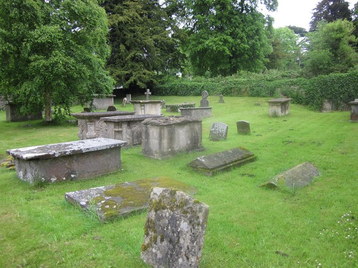
| Memorials | : | 2 |
| Location | : | Alderley, Stroud District, England |
| Coordinate | : | 51.6155170, -2.3357530 |
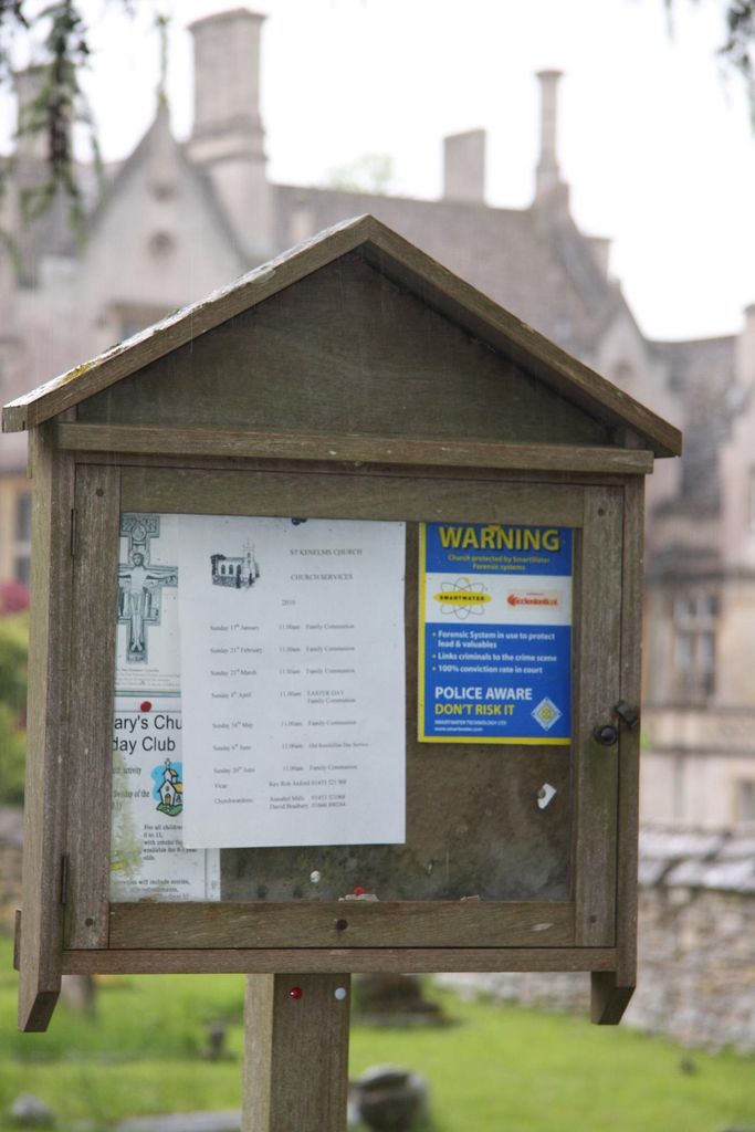
| Description | : | (01453) 842175 St Kenelms Church is a Georgian Church,built on the site of an earlier Church but retaining the 15th century tower. The present village Church in Alderley was rebuilt in 1820 in gothic style and is open every day.Adjacent to Alderley House both of which are listed buildings. |
frequently asked questions (FAQ):
-
Where is St Kenelm Churchyard?
St Kenelm Churchyard is located at Alderley Road Alderley, Stroud District ,Gloucestershire , GL12 7QTEngland.
-
St Kenelm Churchyard cemetery's updated grave count on graveviews.com?
2 memorials
-
Where are the coordinates of the St Kenelm Churchyard?
Latitude: 51.6155170
Longitude: -2.3357530


Nearby Cemetories:
1. Hillesley Baptist Churchyard
Hillesley, Stroud District, England
Coordinate: 51.6054787, -2.3318073
2. Kingswood Abbey
Kingswood, Stroud District, England
Coordinate: 51.6264381, -2.3667738
3. Wotton Baptist Churchyard
Wotton-under-Edge, Stroud District, England
Coordinate: 51.6371850, -2.3531940
4. St. Mary the Virgin Churchyard
Wotton-under-Edge, Stroud District, England
Coordinate: 51.6390390, -2.3480250
5. St Nicholas Churchyard
Ozleworth, Cotswold District, England
Coordinate: 51.6380070, -2.2986530
6. St Mary Churchyard
Hawkesbury, South Gloucestershire Unitary Authority, England
Coordinate: 51.5807290, -2.3359910
7. Holy Trinity Churchyard
Wickwar, South Gloucestershire Unitary Authority, England
Coordinate: 51.5985120, -2.4006930
8. North Nibley Cemetery
North Nibley, Stroud District, England
Coordinate: 51.6584100, -2.3768600
9. Horton Church Cemetery
Horton, South Gloucestershire Unitary Authority, England
Coordinate: 51.5647100, -2.3388100
10. St James the Elder Churchyard
Horton, South Gloucestershire Unitary Authority, England
Coordinate: 51.5637860, -2.3390110
11. Leighterton Church Cemetery
Leighterton, Cotswold District, England
Coordinate: 51.6176900, -2.2518400
12. St Martin Churchyard
North Nibley, Stroud District, England
Coordinate: 51.6629860, -2.3836650
13. St Leonard Churchyard
Tortworth, Stroud District, England
Coordinate: 51.6379440, -2.4286650
14. St Marks Churchyard
Dursley, Stroud District, England
Coordinate: 51.6777900, -2.3499800
15. St Michael and All Angels Churchyard
Little Badminton, South Gloucestershire Unitary Authority, England
Coordinate: 51.5572610, -2.2888360
16. St. John the Baptist Churchyard
Kingscote, Cotswold District, England
Coordinate: 51.6644230, -2.2640480
17. St James the Great Church
Dursley, Stroud District, England
Coordinate: 51.6812840, -2.3530000
18. Dursley Tabernacle URC
Dursley, Stroud District, England
Coordinate: 51.6823727, -2.3571669
19. St Andrew Churchyard
Cromhall, South Gloucestershire Unitary Authority, England
Coordinate: 51.6121930, -2.4456930
20. St Giles Churchyard
Uley, Stroud District, England
Coordinate: 51.6853115, -2.3038214
21. Holy Cross Churchyard
Owlpen, Stroud District, England
Coordinate: 51.6841176, -2.2912175
22. Dursley Town Cemetery
Dursley, Stroud District, England
Coordinate: 51.6893700, -2.3623400
23. Cam Congregational Church
Cam, Stroud District, England
Coordinate: 51.6914518, -2.3530424
24. St. George Churchyard
Cam, Stroud District, England
Coordinate: 51.6923120, -2.3524570