
| Memorials | : | 30 |
| Location | : | Sellindge, Shepway District, England |
| Coordinate | : | 51.1070200, 0.9897100 |
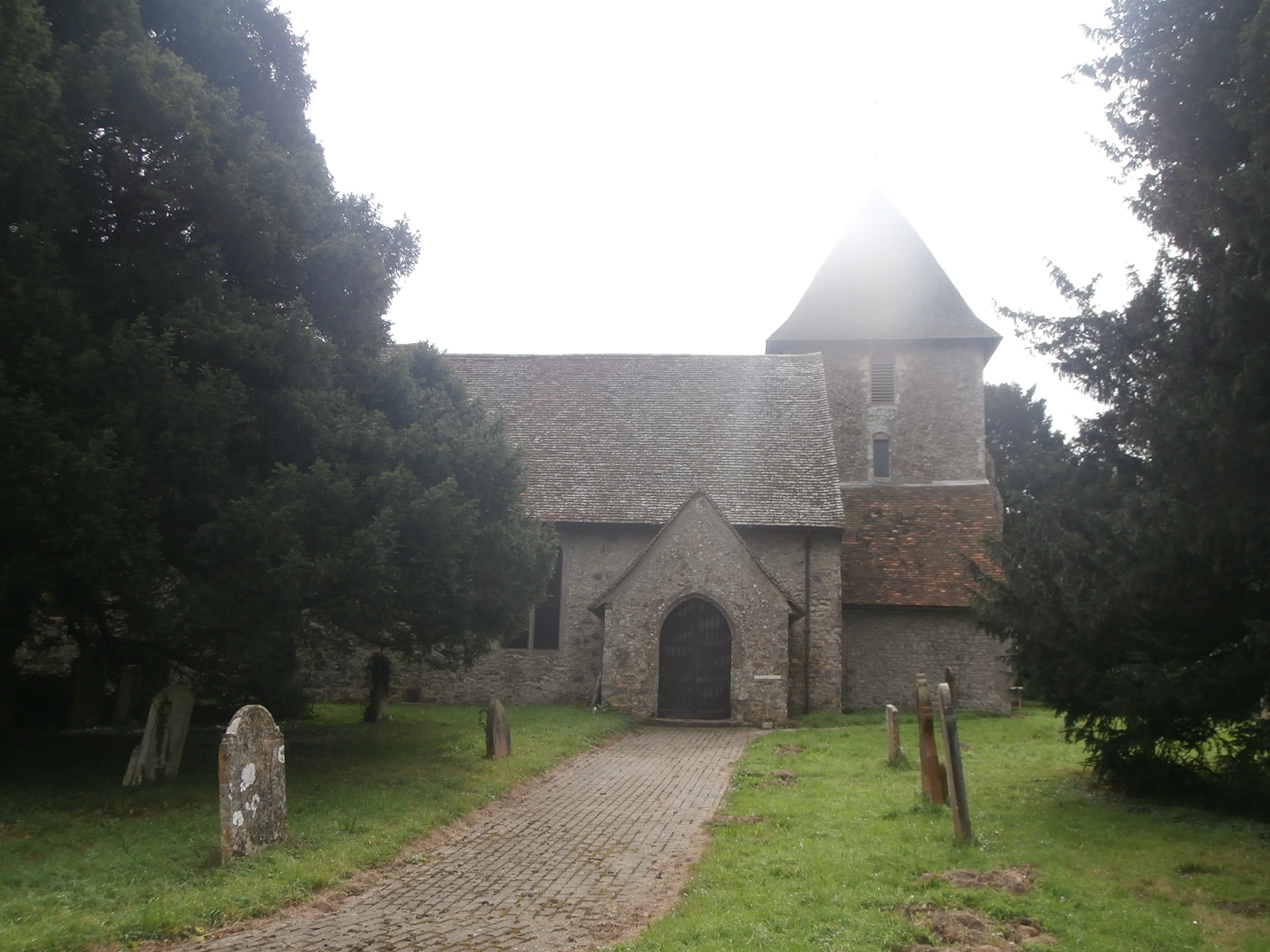
| Description | : | Sellindge is a civil parish and village on the A20 road between Ashford and Folkestone in Kent, South East England. Sellindge is part of North Downs West Ward of Shepway District Council but part of the Elham ward of Kent County Council. |
frequently asked questions (FAQ):
-
Where is St Mary Churchyard?
St Mary Churchyard is located at Sellindge, Shepway District ,Kent ,England.
-
St Mary Churchyard cemetery's updated grave count on graveviews.com?
30 memorials
-
Where are the coordinates of the St Mary Churchyard?
Latitude: 51.1070200
Longitude: 0.9897100
Nearby Cemetories:
1. St. Mary the Virgin Churchyard
Smeeth, Ashford Borough, England
Coordinate: 51.1183000, 0.9594580
2. Saint Martin's Churchyard
Aldington, Ashford Borough, England
Coordinate: 51.0874330, 0.9615520
3. St Mary the Blessed Virgin Churchyard
Brabourne, Ashford Borough, England
Coordinate: 51.1358410, 1.0054050
4. St. Peter's Churchyard
Monks Horton, Shepway District, England
Coordinate: 51.1246680, 1.0331870
5. All Saints Churchyard
Stanford, Shepway District, England
Coordinate: 51.1024987, 1.0425051
6. St. John The Baptist Churchyard
Mersham, Ashford Borough, England
Coordinate: 51.1168720, 0.9312840
7. St. Stephen's Churchyard
Lympne, Shepway District, England
Coordinate: 51.0720910, 1.0244150
8. St. Rumwold Churchyard
Bonnington, Ashford Borough, England
Coordinate: 51.0722680, 0.9350370
9. St. Mary the Virgin Churchyard
Hastingleigh, Ashford Borough, England
Coordinate: 51.1610820, 1.0047880
10. St. Mary's Churchyard
Hinxhill, Ashford Borough, England
Coordinate: 51.1460676, 0.9277093
11. St. Mary's Churchyard
Sevington, Ashford Borough, England
Coordinate: 51.1309040, 0.9100730
12. St Mary Churchyard
Brook, Ashford Borough, England
Coordinate: 51.1604280, 0.9537960
13. All Saints Churchyard
Burmarsh, Shepway District, England
Coordinate: 51.0492000, 0.9964000
14. St. Peter and St. Paul's Churchyard
Bilsington, Ashford Borough, England
Coordinate: 51.0713940, 0.9136430
15. St Peter and St Paul Churchyard
Saltwood, Shepway District, England
Coordinate: 51.0827710, 1.0795340
16. St Mary and St Ethelburga Churchyard
Lyminge, Shepway District, England
Coordinate: 51.1262670, 1.0869770
17. St. Mary the Virgin Churchyard
Willesborough, Ashford Borough, England
Coordinate: 51.1370700, 0.8992180
18. Willesborough Cemetery
Willesborough, Ashford Borough, England
Coordinate: 51.1396490, 0.8984650
19. St Leonard's Churchyard
Hythe, Shepway District, England
Coordinate: 51.0727800, 1.0836580
20. Hythe War Memorial
Hythe, Shepway District, England
Coordinate: 51.0703040, 1.0849560
21. United Reformed Church
Hythe, Shepway District, England
Coordinate: 51.0723220, 1.0913160
22. Church of St. Peter & St. Paul
Newchurch, Shepway District, England
Coordinate: 51.0438640, 0.9272210
23. St. Mary Magdalene Churchyard
Ruckinge, Ashford Borough, England
Coordinate: 51.0654060, 0.8883300
24. Dymchurch burial ground
Dymchurch, Shepway District, England
Coordinate: 51.0292430, 0.9972430