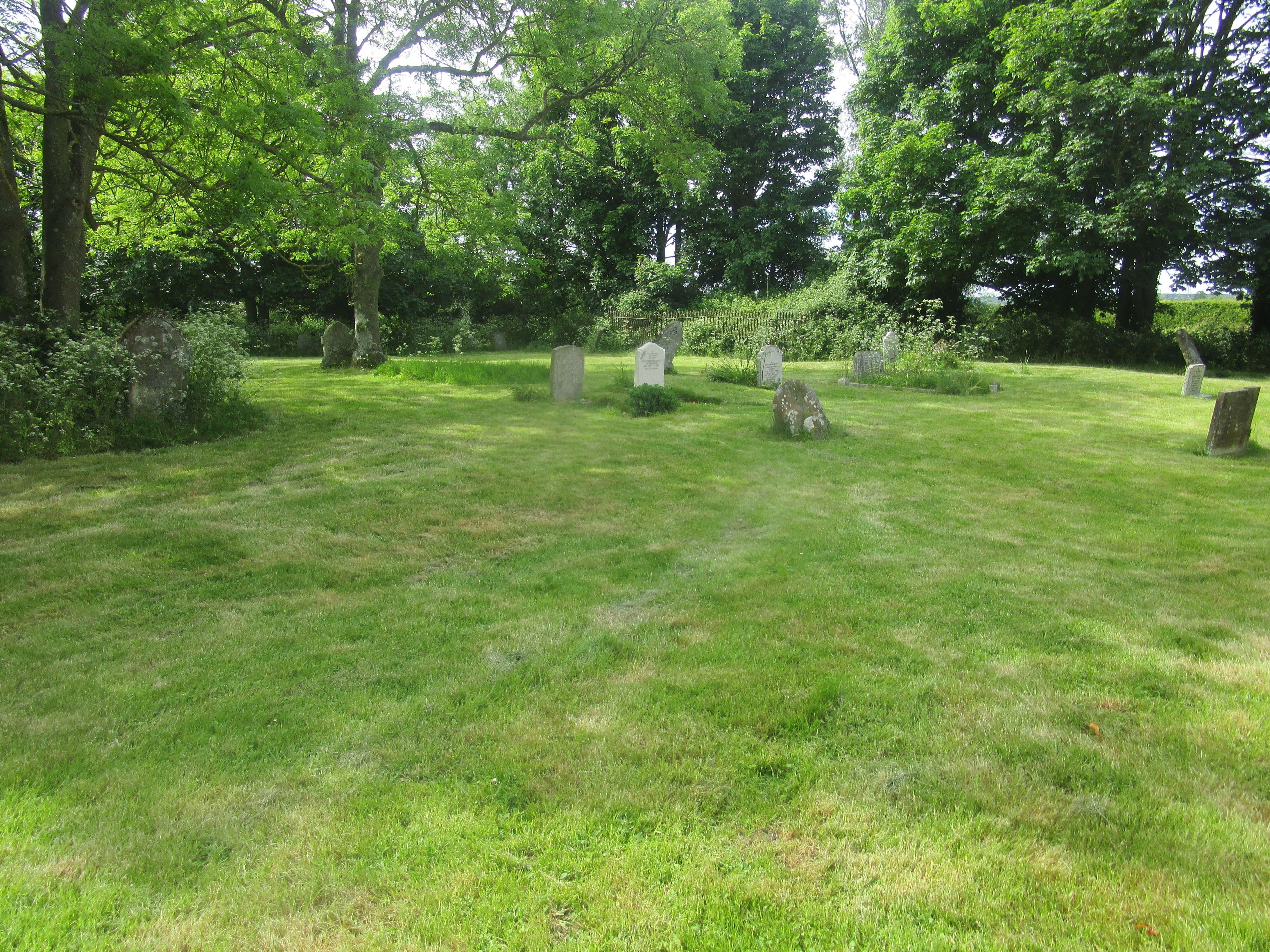
| Memorials | : | 172 |
| Location | : | Newchurch, Shepway District, England |
| Coordinate | : | 51.0438640, 0.9272210 |
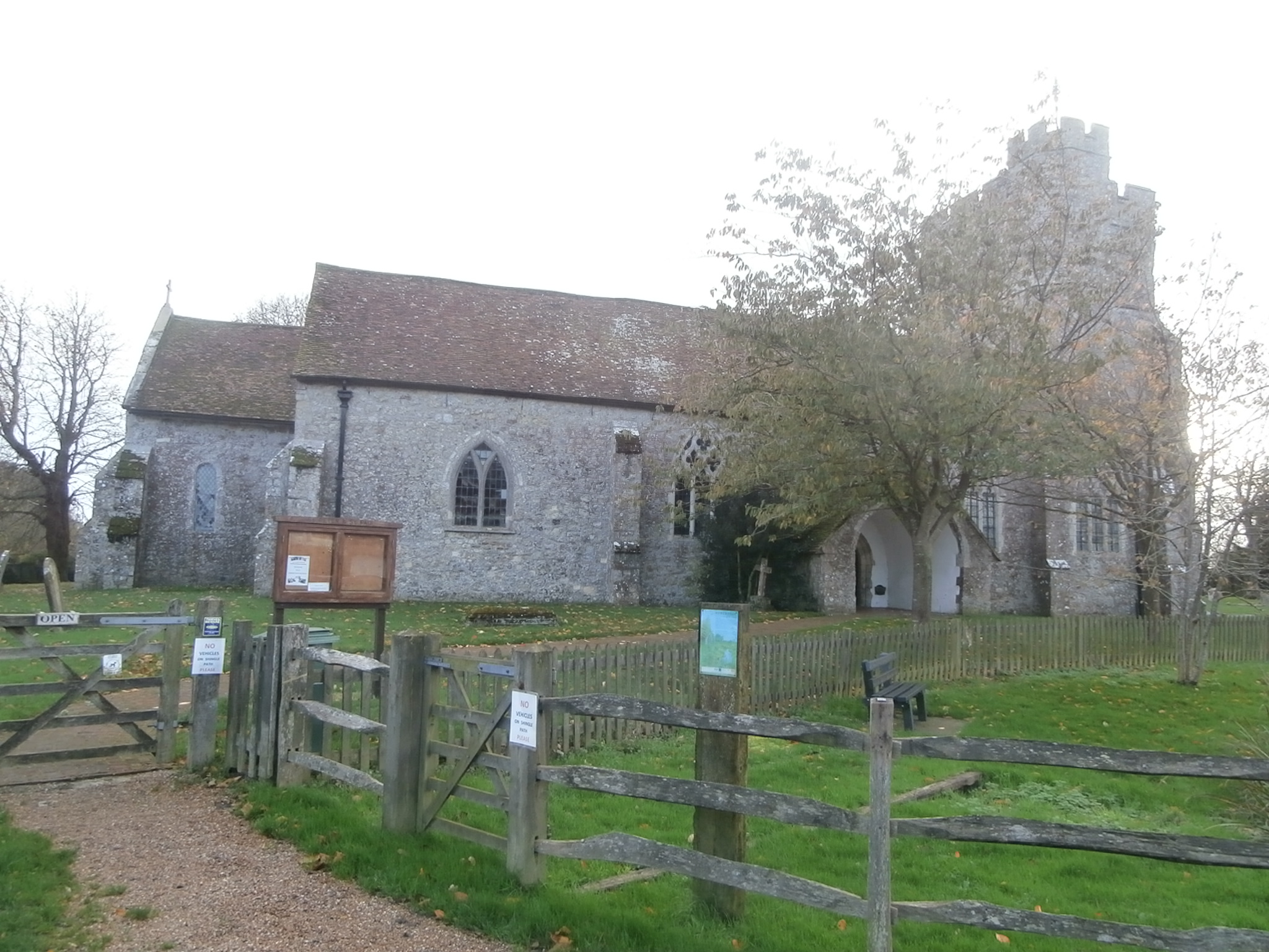
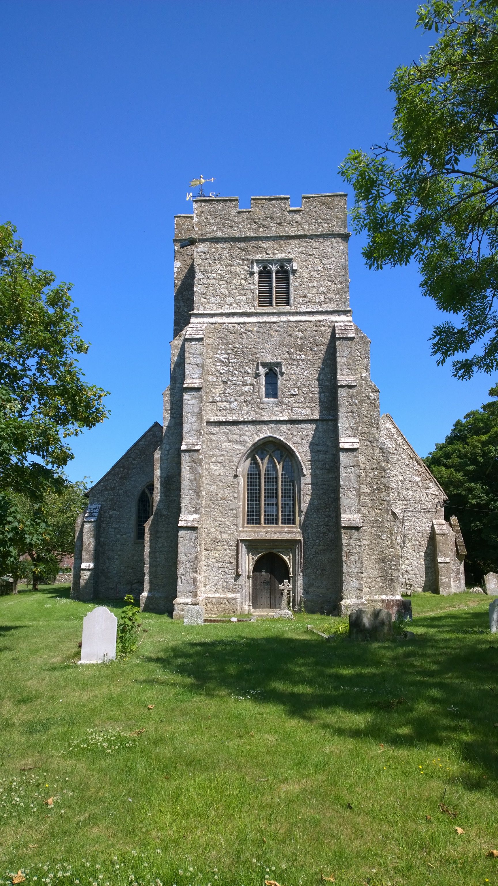
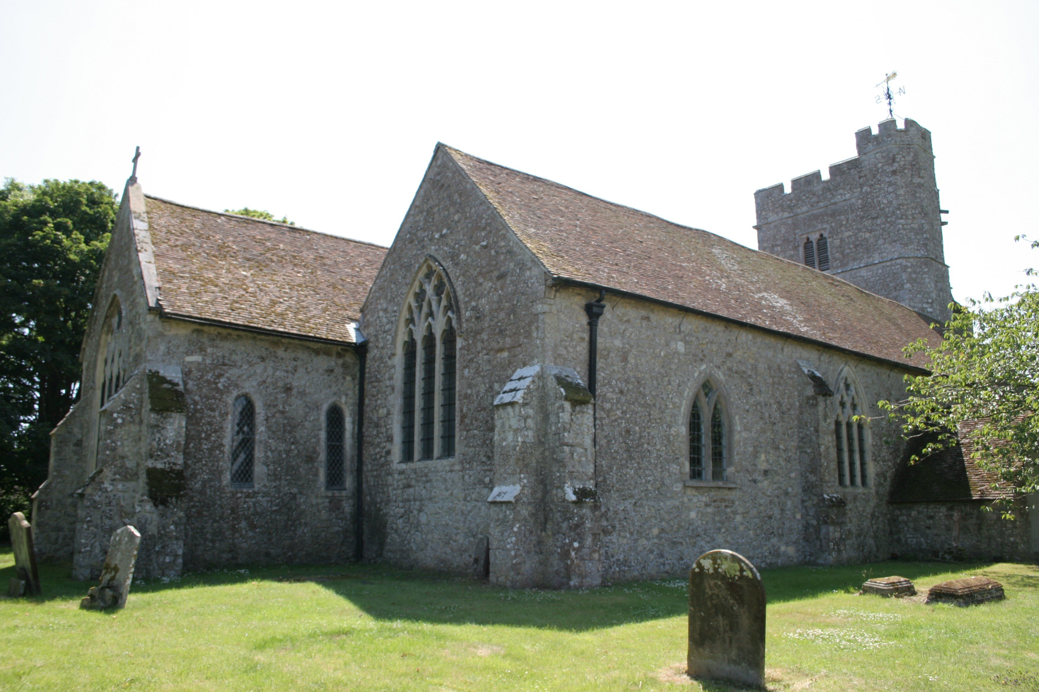
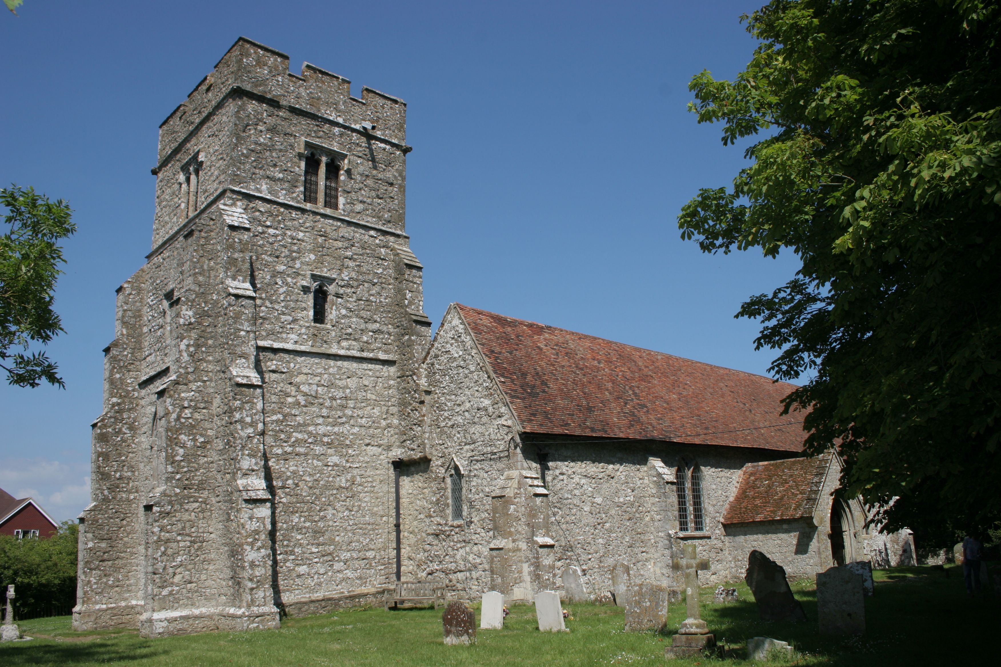
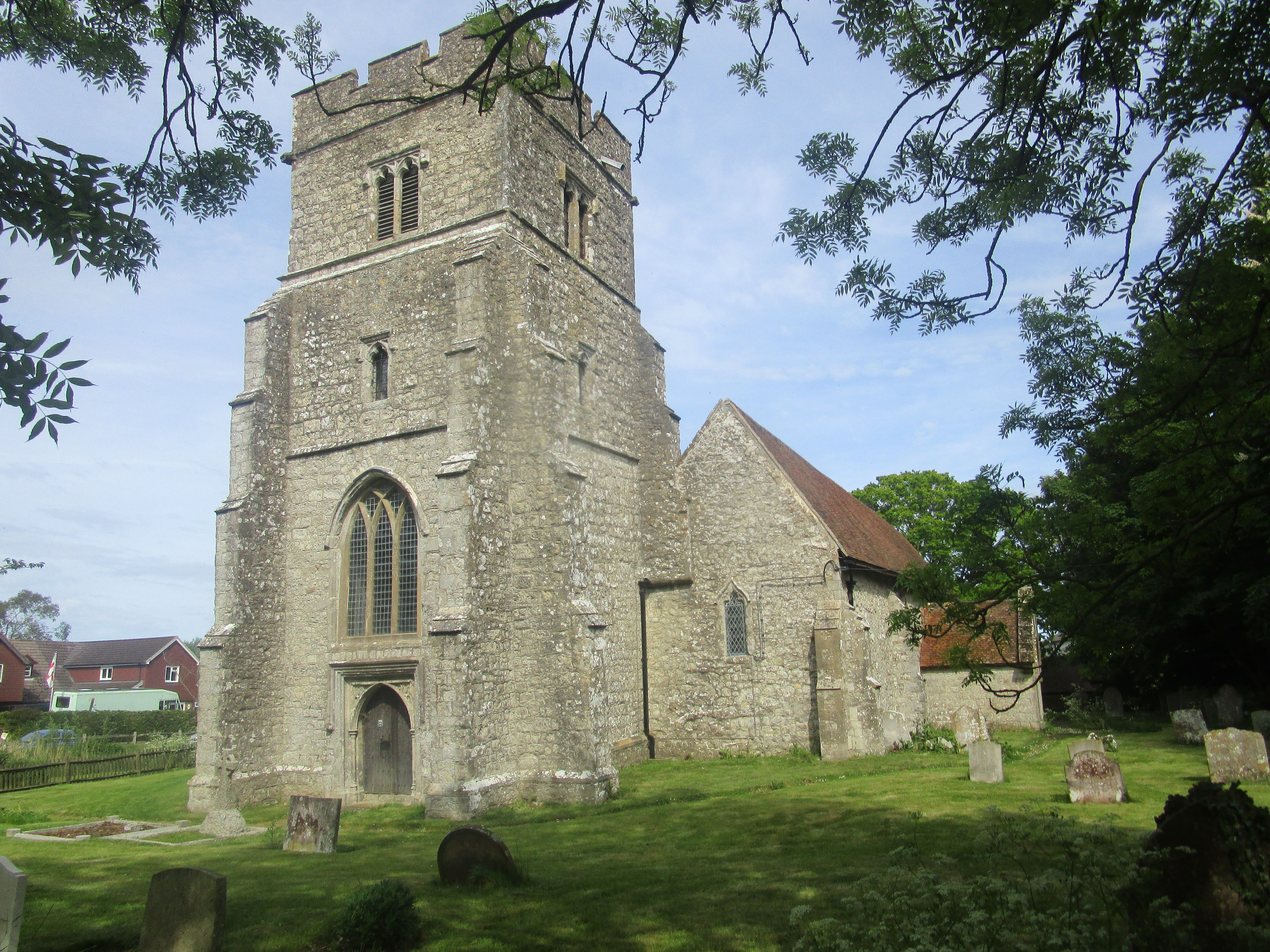
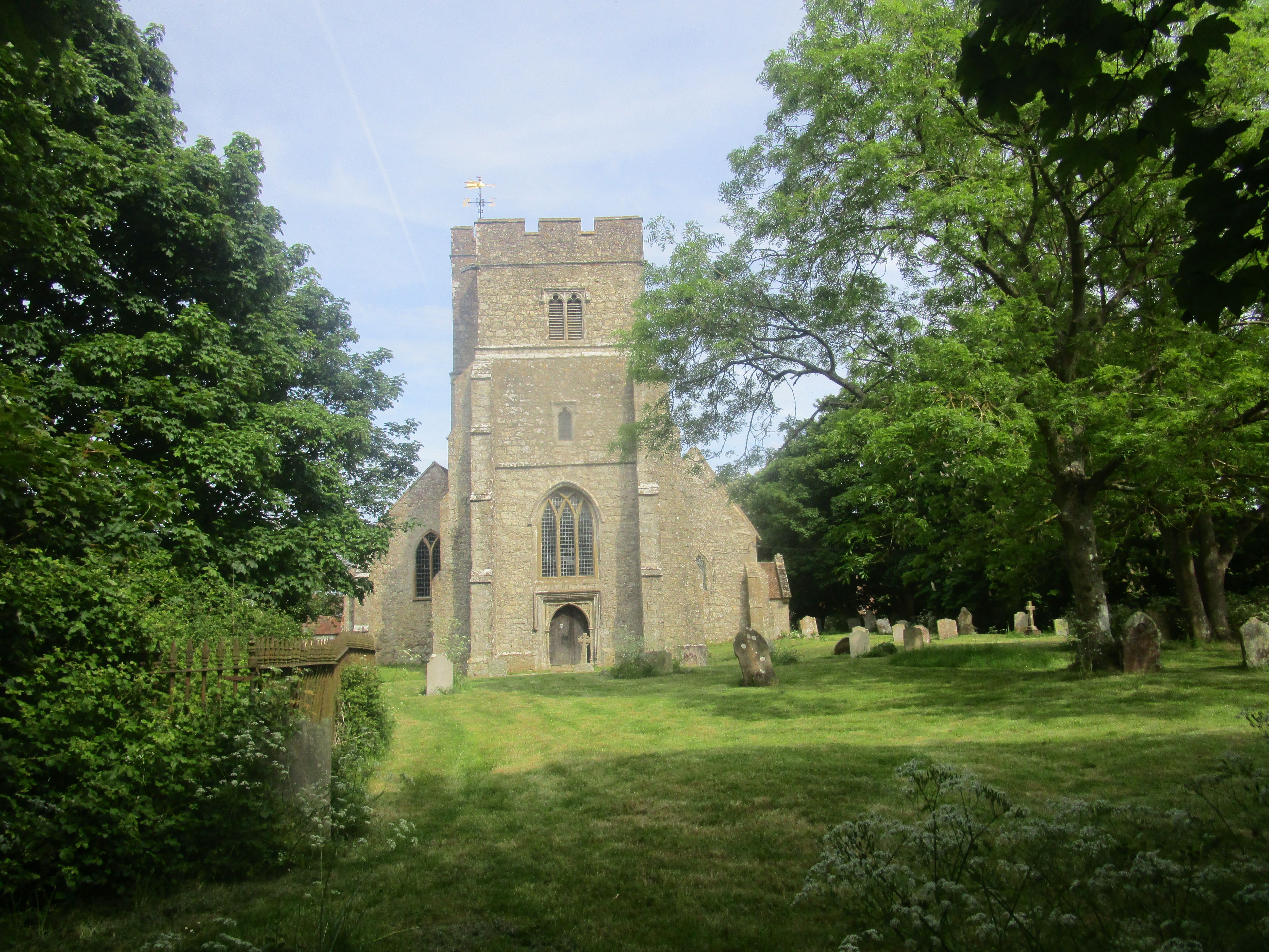
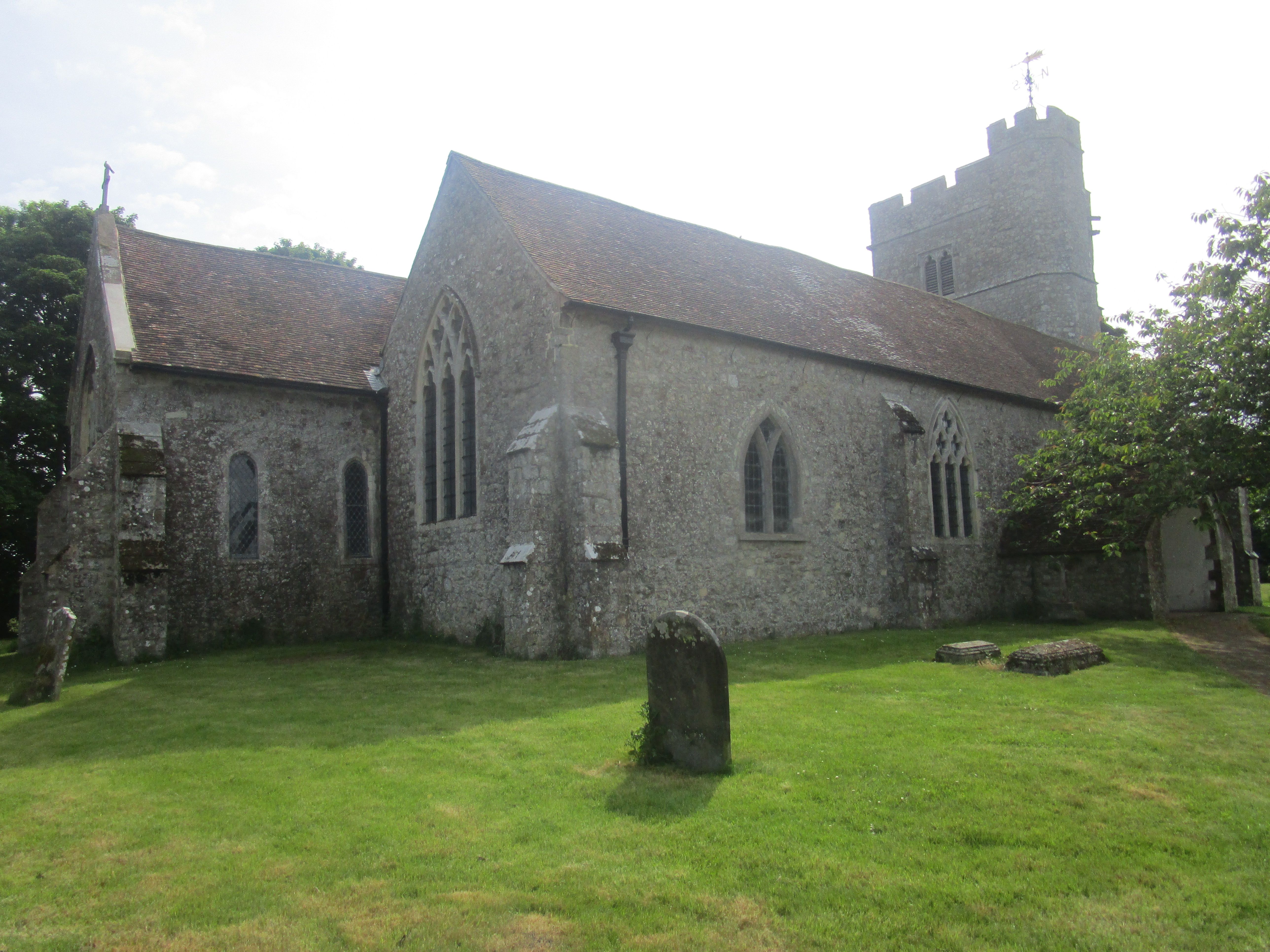
| Description | : | Begun in the 1200's, this church is famous for its crooked tower, the first two stages of which were built about 1410, but as the tower began to lean after the second stage was completed, buttresses were installed to stop the tower from collapsing. In 1480 the final stage of the tower was erected on the level perpendicular to the ground which is what gives the tower the appearance of a major kink in the middle with the lower two stages leaning westwards. The font inside the church is embellished with the White Rose of York, the Red Rose of... Read More |
frequently asked questions (FAQ):
-
Where is Church of St. Peter & St. Paul?
Church of St. Peter & St. Paul is located at The Street Newchurch, Shepway District ,Kent , TN29 0DPEngland.
-
Church of St. Peter & St. Paul cemetery's updated grave count on graveviews.com?
172 memorials
-
Where are the coordinates of the Church of St. Peter & St. Paul?
Latitude: 51.0438640
Longitude: 0.9272210
Nearby Cemetories:
1. St. Peter and St. Paul's Churchyard
Bilsington, Ashford Borough, England
Coordinate: 51.0713940, 0.9136430
2. St. Rumwold Churchyard
Bonnington, Ashford Borough, England
Coordinate: 51.0722680, 0.9350370
3. St Mary the Virgin Churchyard
St Mary in the Marsh, Shepway District, England
Coordinate: 51.0141390, 0.9423380
4. St. Mary Magdalene Churchyard
Ruckinge, Ashford Borough, England
Coordinate: 51.0654060, 0.8883300
5. St Augustine Church
Snave, Ashford Borough, England
Coordinate: 51.0334570, 0.8710390
6. St George's Church
Ivychurch, Shepway District, England
Coordinate: 51.0124590, 0.8895980
7. All Saints Churchyard
Burmarsh, Shepway District, England
Coordinate: 51.0492000, 0.9964000
8. Dymchurch burial ground
Dymchurch, Shepway District, England
Coordinate: 51.0292430, 0.9972430
9. St Peter and St Paul Churchyard
Dymchurch, Shepway District, England
Coordinate: 51.0283830, 0.9979190
10. Saint Martin's Churchyard
Aldington, Ashford Borough, England
Coordinate: 51.0874330, 0.9615520
11. St Enswith's Church
Brenzett, Shepway District, England
Coordinate: 51.0138510, 0.8573170
12. Brenzett Cemetery
Brenzett, Shepway District, England
Coordinate: 51.0130800, 0.8561300
13. St Mary the Virgin Churchyard
Orlestone, Ashford Borough, England
Coordinate: 51.0767000, 0.8539000
14. St Clement Churchyard
Old Romney, Shepway District, England
Coordinate: 50.9901390, 0.8981780
15. St. Matthew Churchyard
Warehorne, Ashford Borough, England
Coordinate: 51.0575460, 0.8375700
16. Burma Campaign Memorial
New Romney, Shepway District, England
Coordinate: 50.9851600, 0.9404470
17. St Nicholas Churchyard
New Romney, Shepway District, England
Coordinate: 50.9850930, 0.9411740
18. New Romney Cemetery
New Romney, Shepway District, England
Coordinate: 50.9843600, 0.9388800
19. St. Dunstan Churchyard
Snargate, Shepway District, England
Coordinate: 51.0227100, 0.8371750
20. St. Stephen's Churchyard
Lympne, Shepway District, England
Coordinate: 51.0720910, 1.0244150
21. St Mary's Churchyard
Kenardington, Ashford Borough, England
Coordinate: 51.0546000, 0.8164000
22. St. John The Baptist Churchyard
Mersham, Ashford Borough, England
Coordinate: 51.1168720, 0.9312840
23. St Mary Churchyard
Sellindge, Shepway District, England
Coordinate: 51.1070200, 0.9897100
24. St Augustine Church
Brookland, Shepway District, England
Coordinate: 50.9973880, 0.8337460

