| Memorials | : | 125 |
| Location | : | Hastingleigh, Ashford Borough, England |
| Coordinate | : | 51.1610820, 1.0047880 |
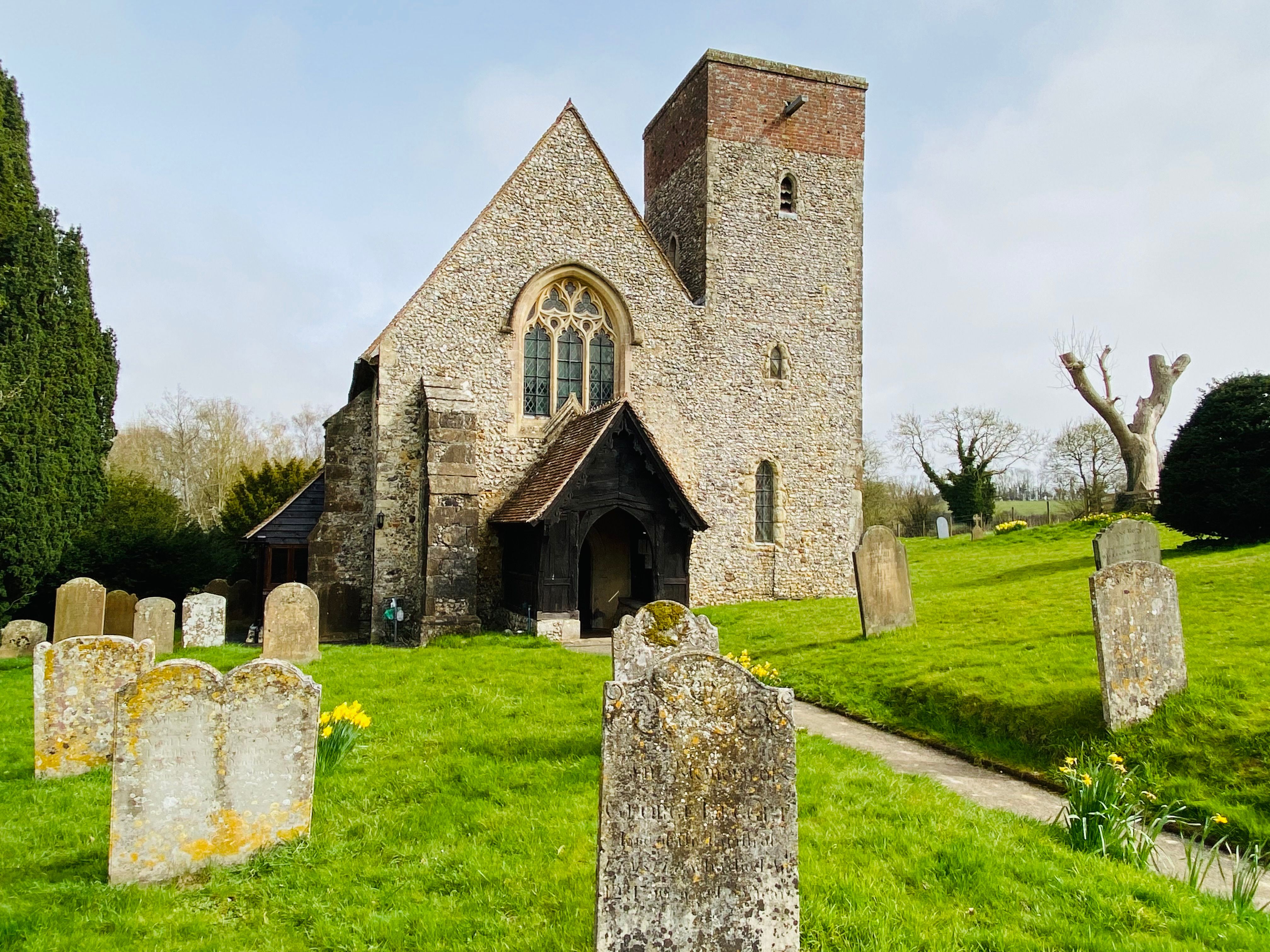
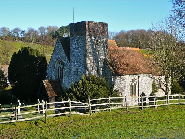
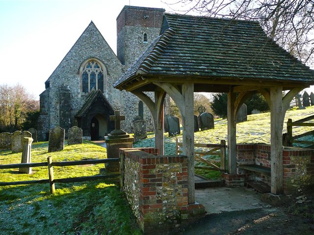
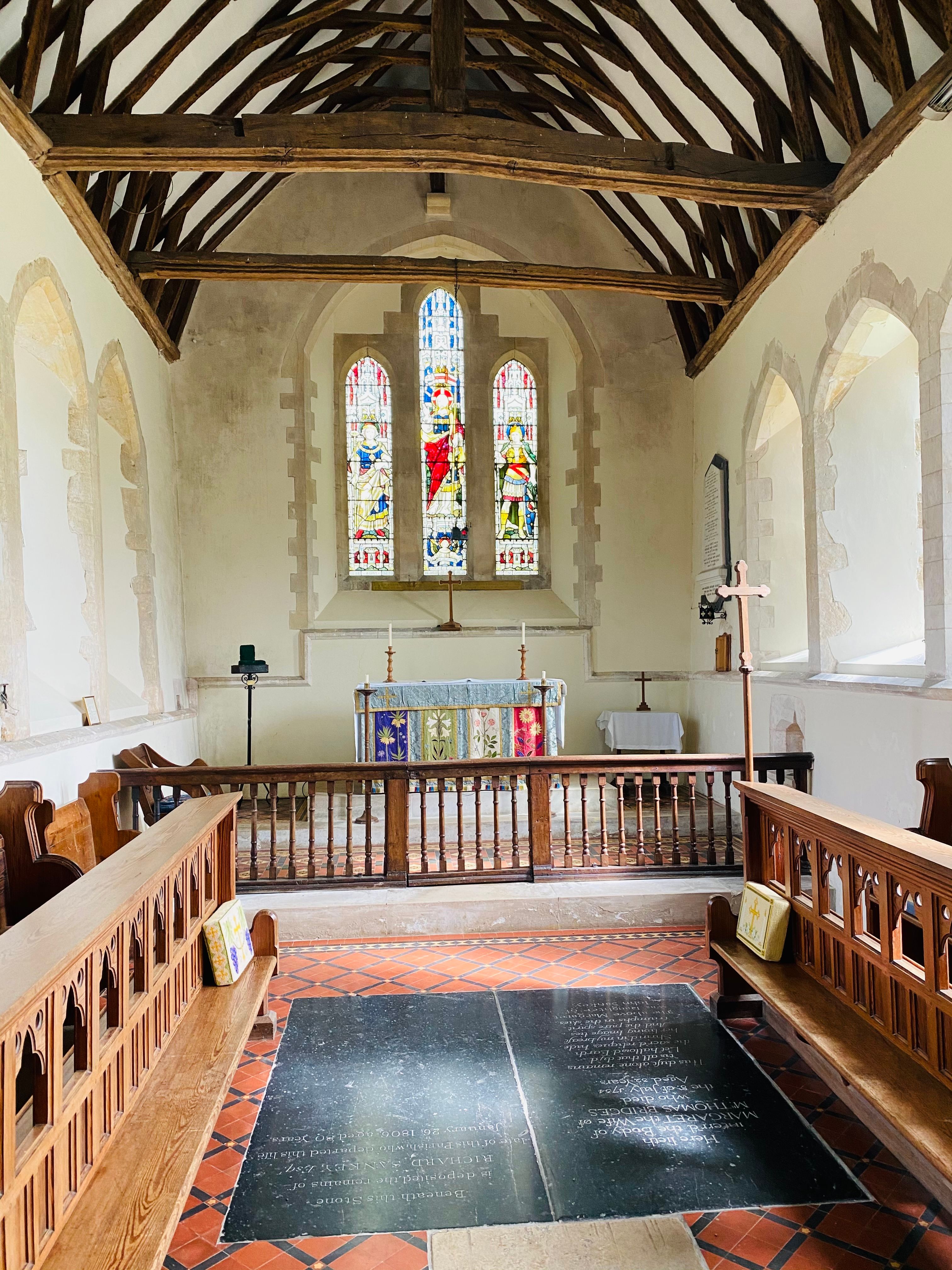
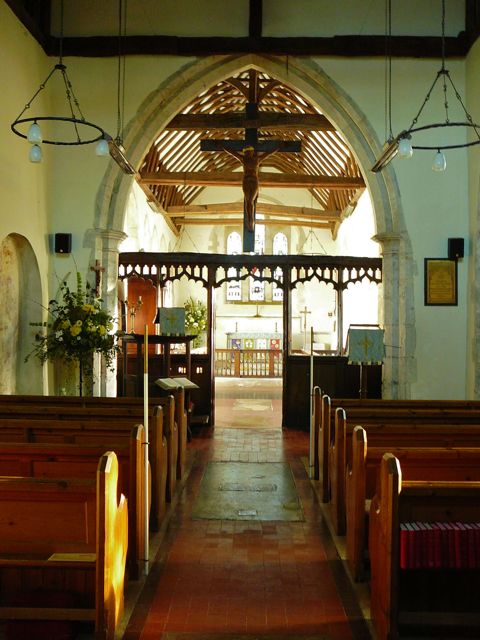
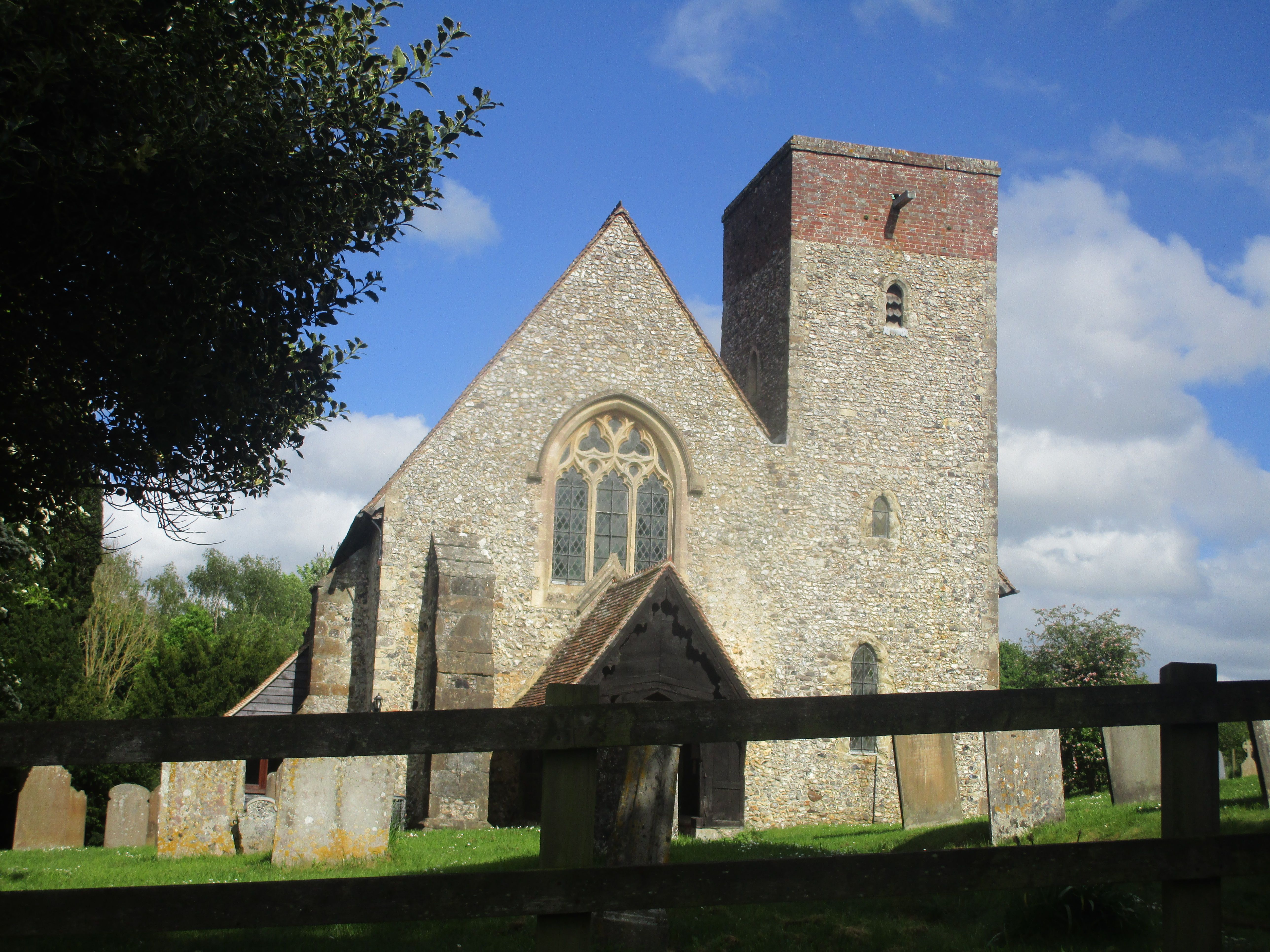
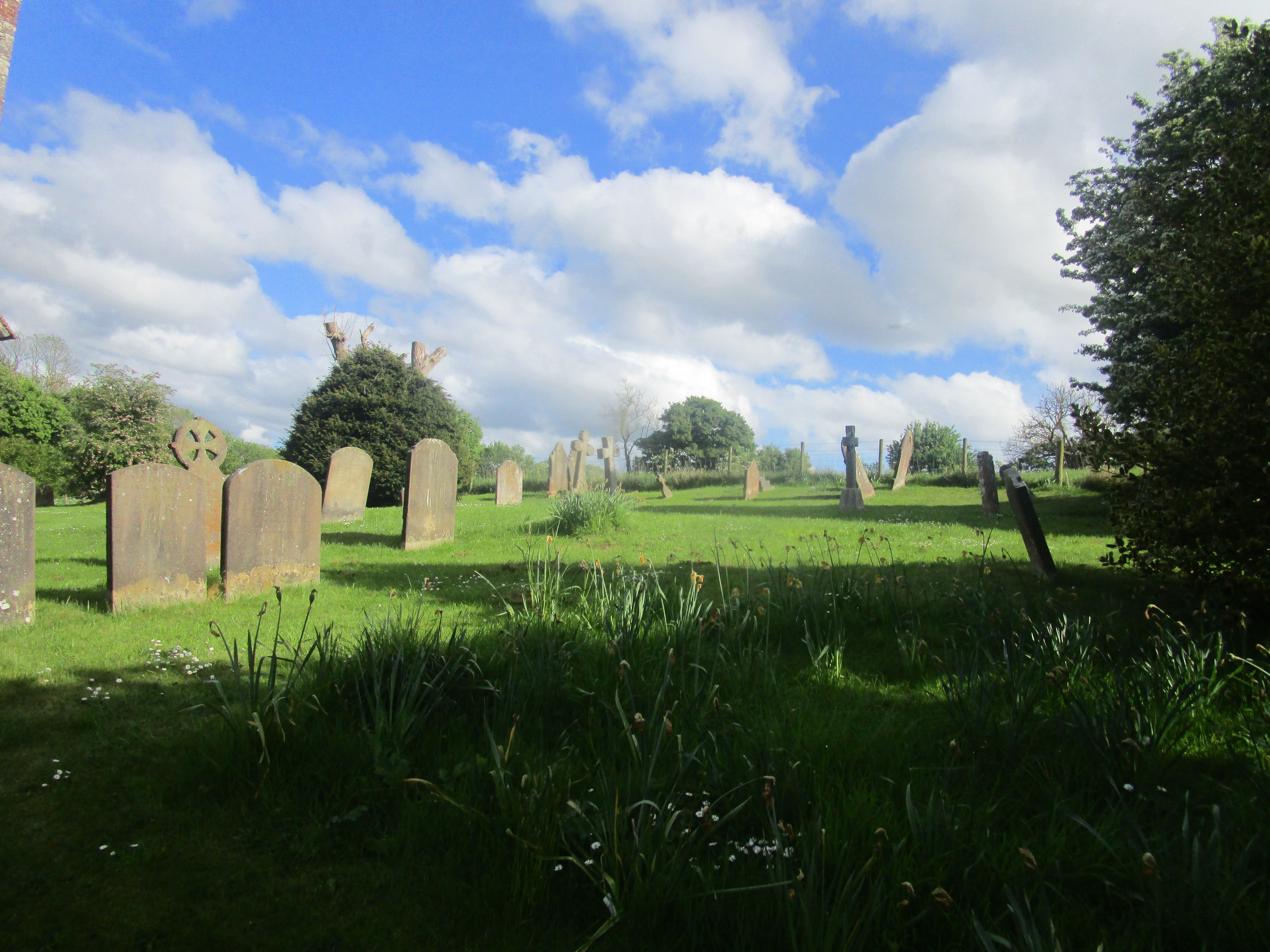
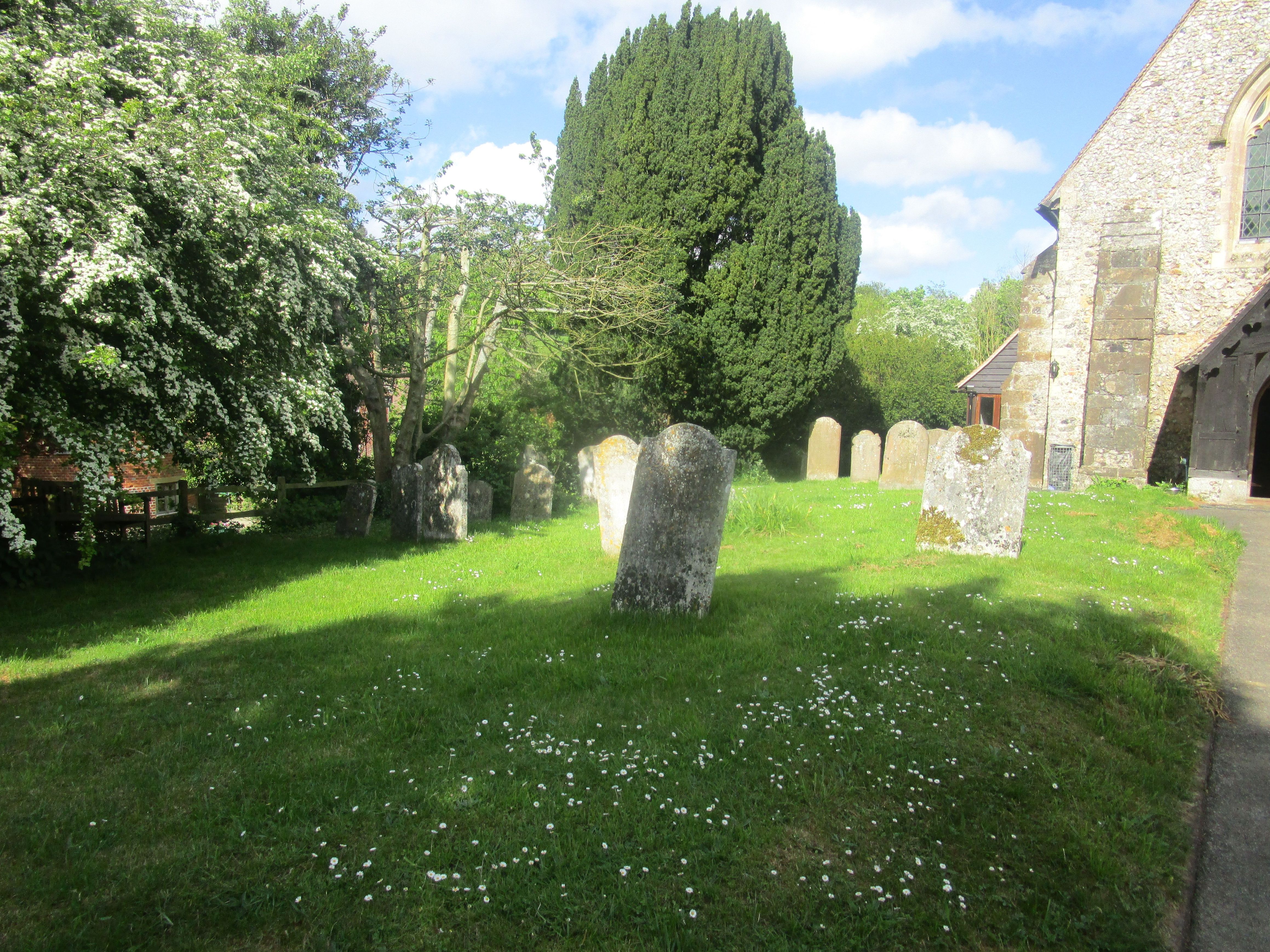
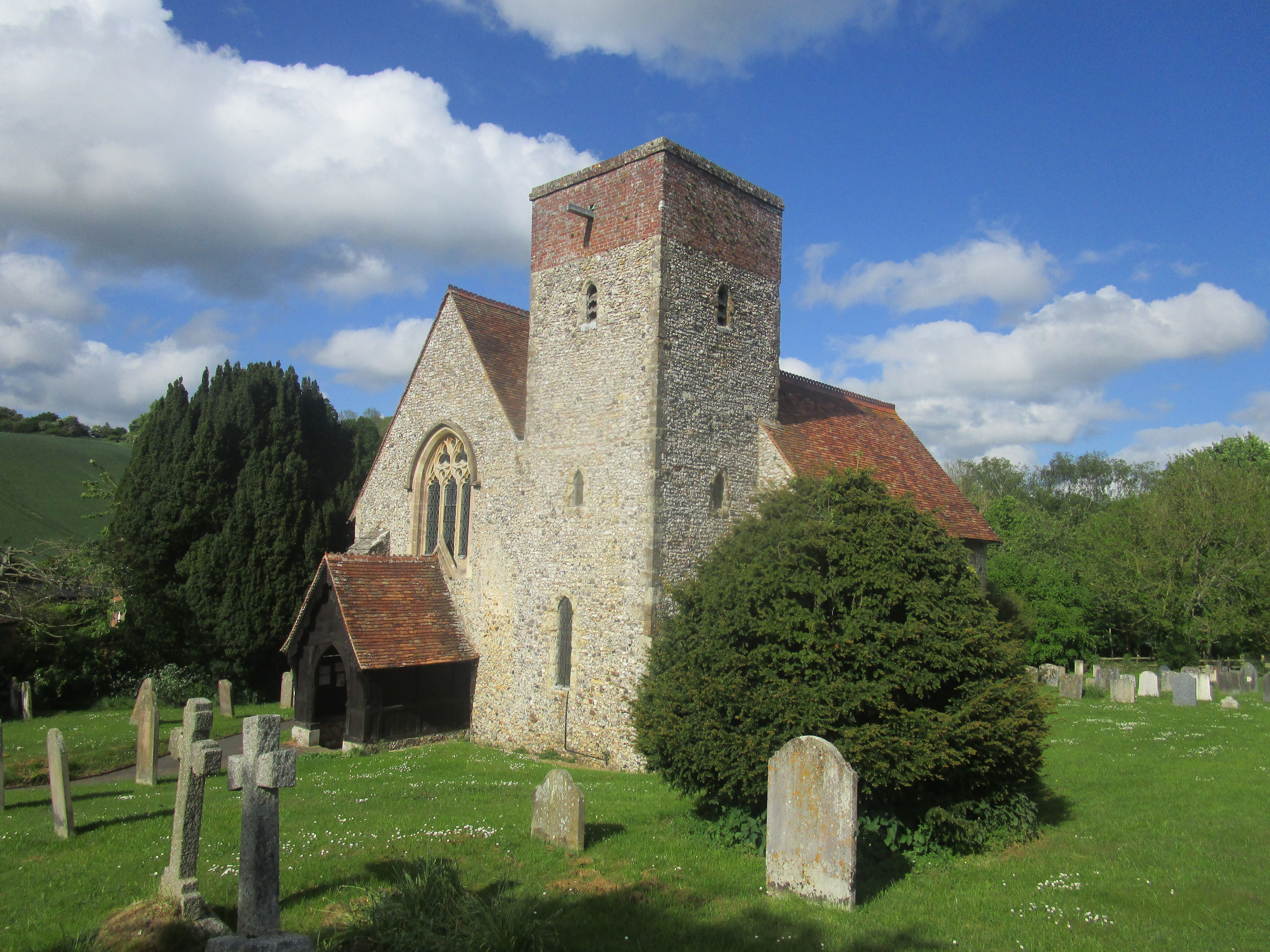
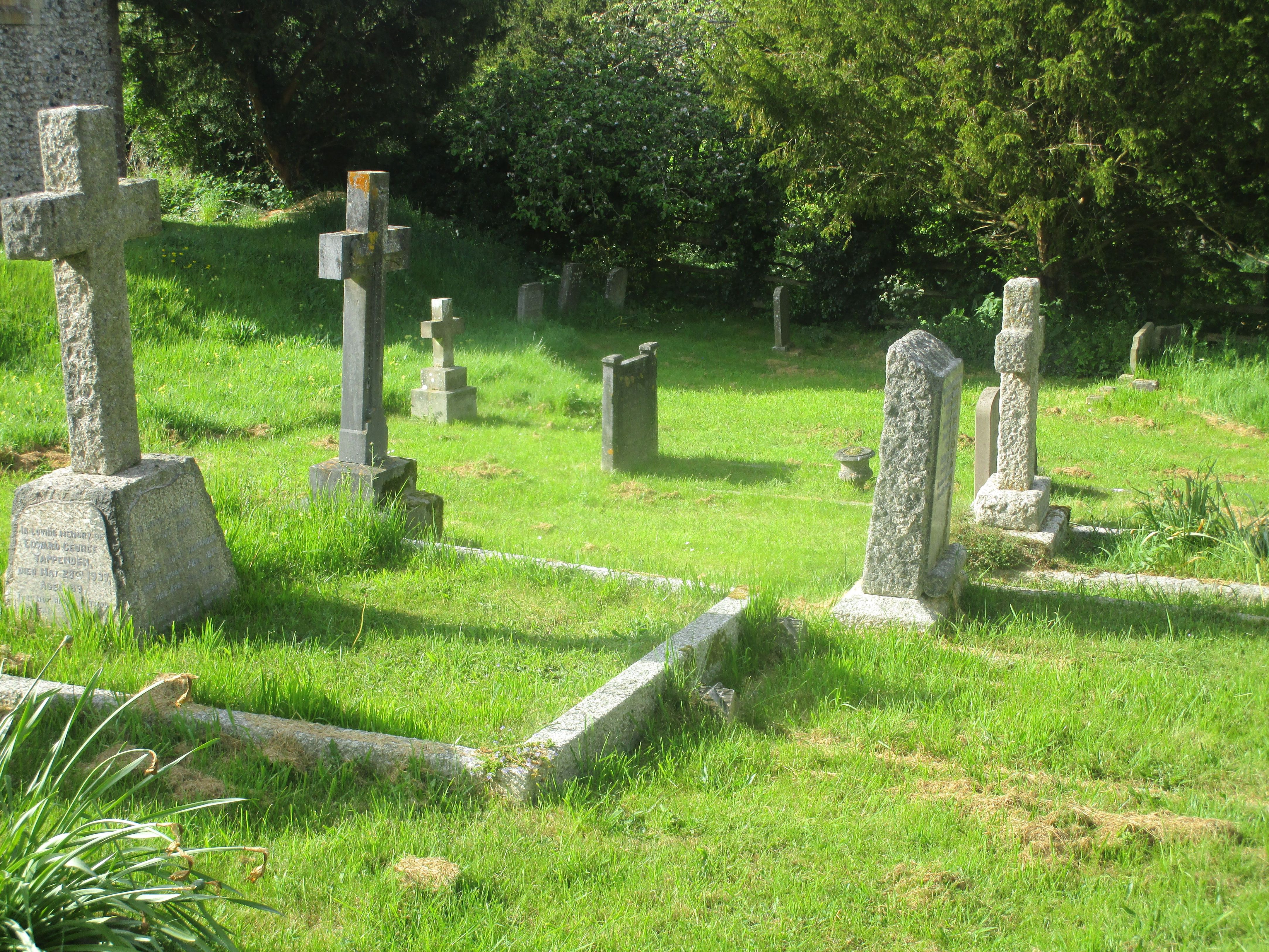
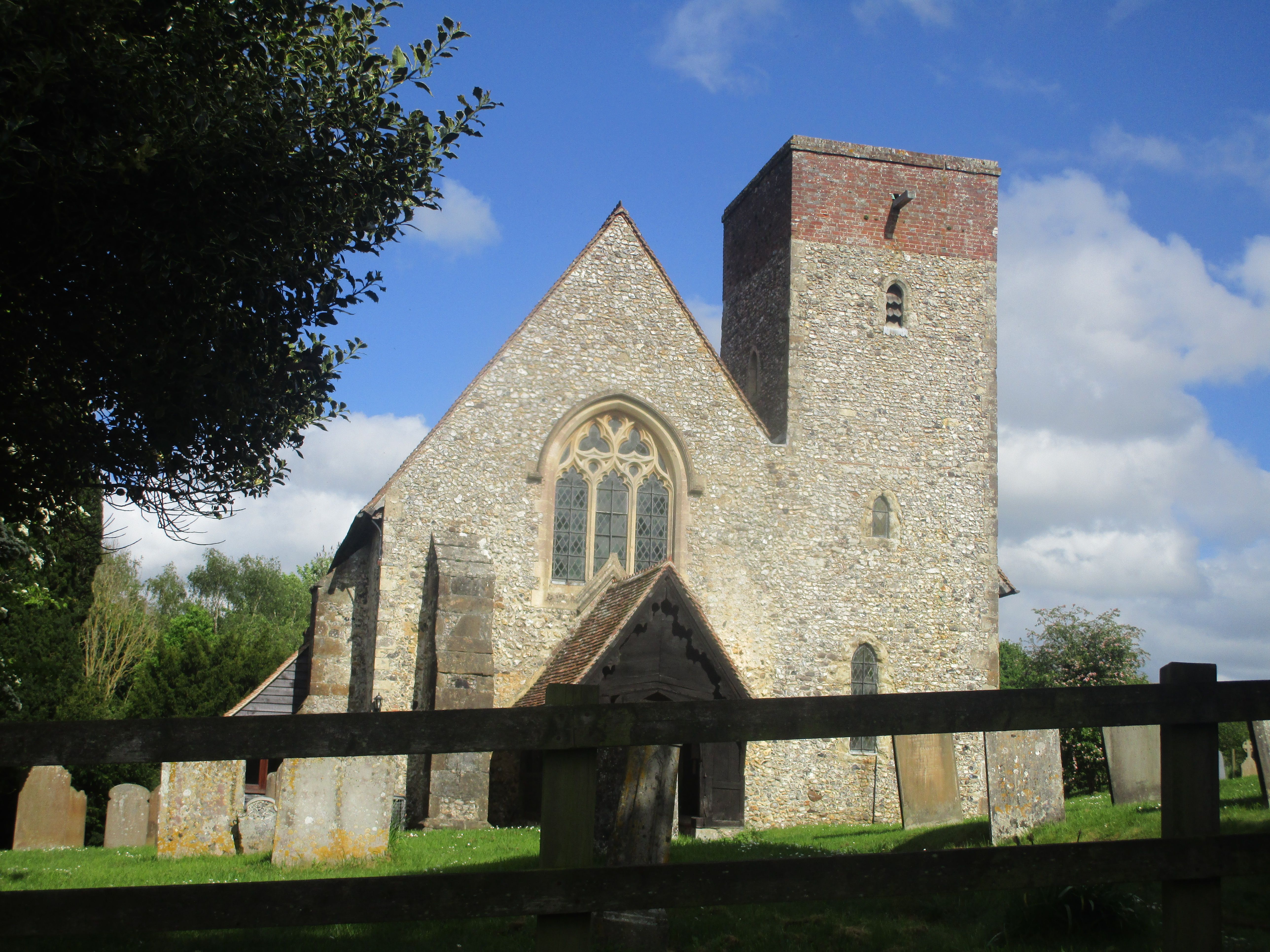
| Description | : | Modern Hastingleigh village (a Saxon place-name) is now about half a mile from it's parish church, which stands in a tiny hamlet among fields near an ancient trackway, now part of the North Downs Way. The oldest visible parts of the exterior are Norman, and the tower Early English (13th century), built of flint with a later brick top. Inside, the early Norman nave is as long as the 13th century chancel, which is unusually light because of the many lancet windows; some of these suffered bomb damage during the Second World War. Most of the memorials here are to... Read More |
frequently asked questions (FAQ):
-
Where is St. Mary the Virgin Churchyard?
St. Mary the Virgin Churchyard is located at Hastingleigh, Ashford Borough ,Kent , TN255HUEngland.
-
St. Mary the Virgin Churchyard cemetery's updated grave count on graveviews.com?
0 memorials
-
Where are the coordinates of the St. Mary the Virgin Churchyard?
Latitude: 51.1610820
Longitude: 1.0047880
Nearby Cemetories:
1. St Mary the Blessed Virgin Churchyard
Brabourne, Ashford Borough, England
Coordinate: 51.1358410, 1.0054050
2. St Mary Churchyard
Brook, Ashford Borough, England
Coordinate: 51.1604280, 0.9537960
3. St Bartholomew Churchyard
Waltham, City of Canterbury, England
Coordinate: 51.1961680, 1.0223940
4. St Mary the Blessed Virgin Churchyard
Crundale, Ashford Borough, England
Coordinate: 51.1985000, 0.9842100
5. St. Peter's Churchyard
Monks Horton, Shepway District, England
Coordinate: 51.1246680, 1.0331870
6. St. Gregory and St. Martin Churchyard
Wye, Ashford Borough, England
Coordinate: 51.1844260, 0.9377100
7. St. Mary's Churchyard
Hinxhill, Ashford Borough, England
Coordinate: 51.1460676, 0.9277093
8. St. Mary the Virgin Churchyard
Smeeth, Ashford Borough, England
Coordinate: 51.1183000, 0.9594580
9. St Mary Churchyard
Stelling Minnis, Shepway District, England
Coordinate: 51.1963830, 1.0644830
10. St Mary Churchyard
Sellindge, Shepway District, England
Coordinate: 51.1070200, 0.9897100
11. St Mary and St Ethelburga Churchyard
Lyminge, Shepway District, England
Coordinate: 51.1262670, 1.0869770
12. All Saints Churchyard
Stanford, Shepway District, England
Coordinate: 51.1024987, 1.0425051
13. St. John The Baptist Churchyard
Mersham, Ashford Borough, England
Coordinate: 51.1168720, 0.9312840
14. St. Lawrence the Martyr Churchyard
Godmersham, Ashford Borough, England
Coordinate: 51.2160060, 0.9511750
15. All Saints Churchyard
Petham, City of Canterbury, England
Coordinate: 51.2206030, 1.0496330
16. St. Mary's Churchyard
Sevington, Ashford Borough, England
Coordinate: 51.1309040, 0.9100730
17. Elham Methodist Church
Elham, Shepway District, England
Coordinate: 51.1542930, 1.1113970
18. St. Mary the Virgin Churchyard
Elham, Shepway District, England
Coordinate: 51.1521870, 1.1118610
19. Elham Burial Ground
Elham, Shepway District, England
Coordinate: 51.1497940, 1.1115020
20. All Saints Churchyard
Boughton Aluph, Ashford Borough, England
Coordinate: 51.1963280, 0.9086490
21. Willesborough Cemetery
Willesborough, Ashford Borough, England
Coordinate: 51.1396490, 0.8984650
22. St. Mary the Virgin Churchyard
Willesborough, Ashford Borough, England
Coordinate: 51.1370700, 0.8992180
23. St. Mary's Churchyard
Kennington, Ashford Borough, England
Coordinate: 51.1699560, 0.8911560
24. St Peter and St Paul Churchyard
Upper Hardres, City of Canterbury, England
Coordinate: 51.2152380, 1.0811020

