
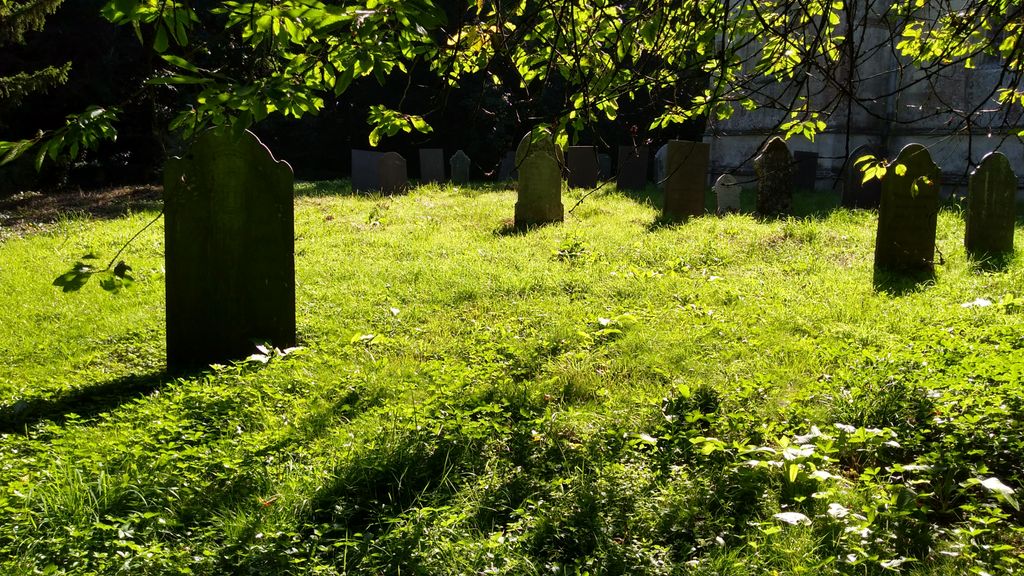
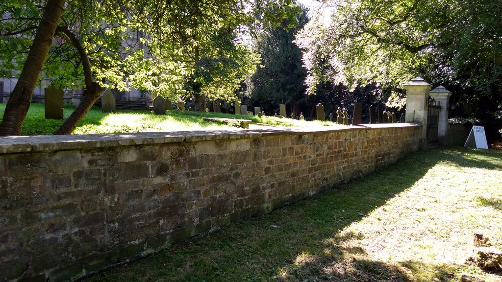
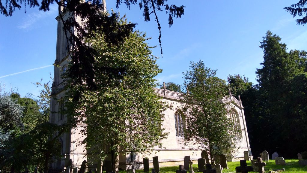
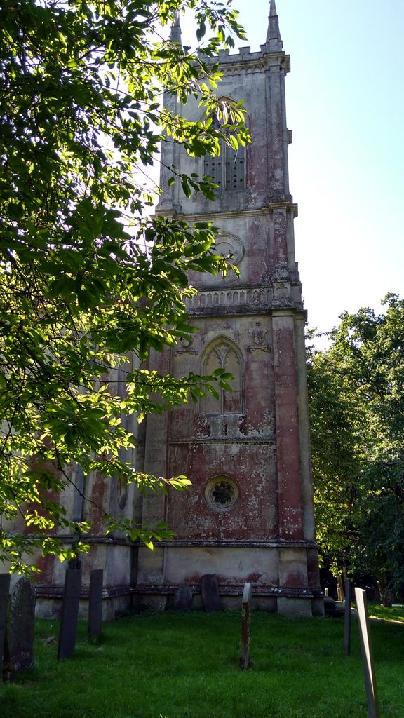
| Memorials | : | 0 |
| Location | : | Stapleford, Melton Borough, England |
| Coordinate | : | 52.7553000, -0.7987000 |
frequently asked questions (FAQ):
-
Where is St. Mary Magdalen Churchyard?
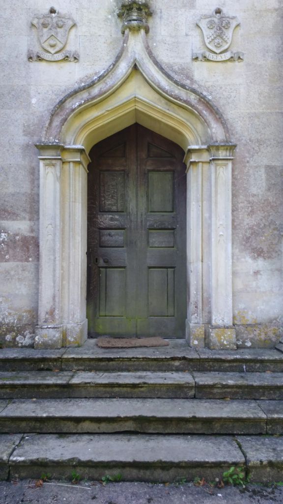
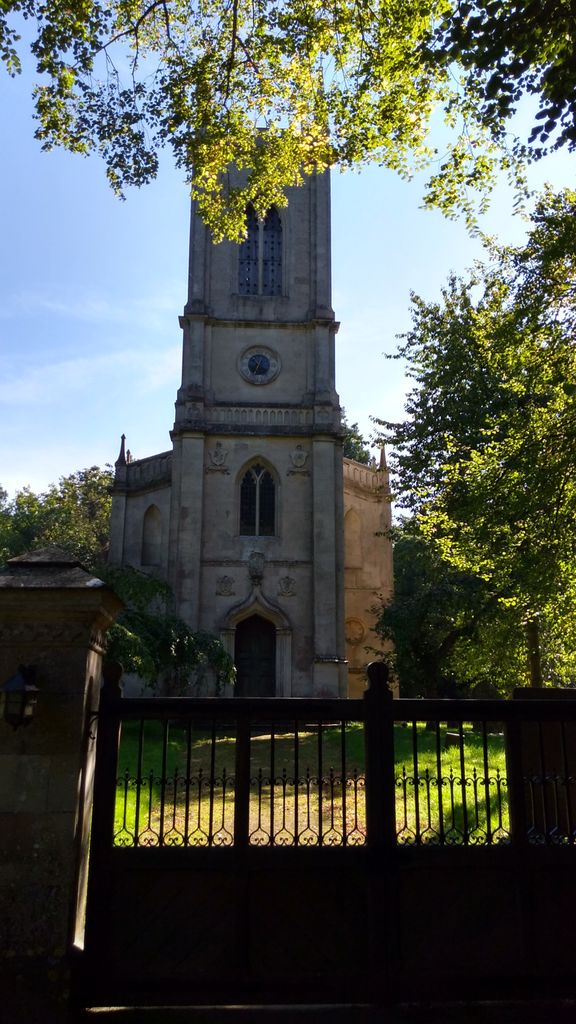
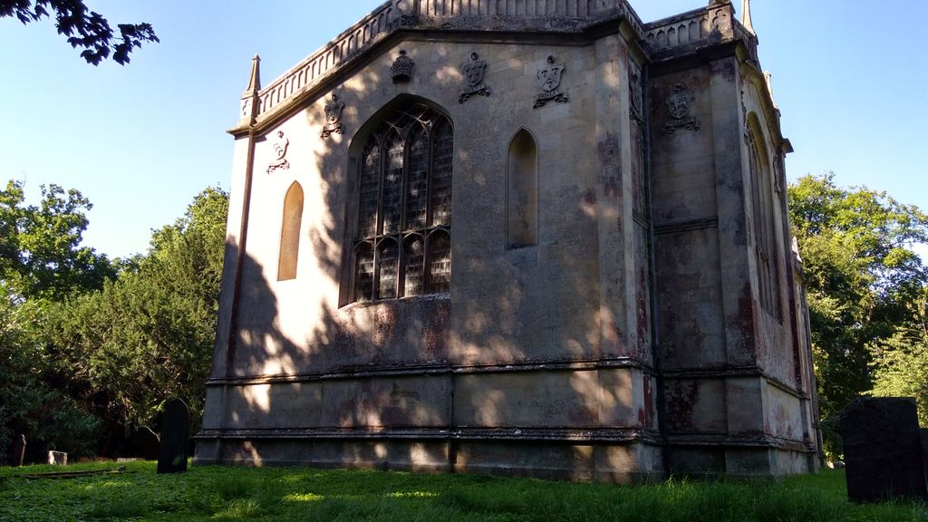
St. Mary Magdalen Churchyard is located at Stapleford, Melton Borough ,Leicestershire ,England.
-
St. Mary Magdalen Churchyard cemetery's updated grave count on graveviews.com?
0 memorials
-
Where are the coordinates of the St. Mary Magdalen Churchyard?
Latitude: 52.7553000
Longitude: -0.7987000

Nearby Cemetories:
1. St. Mary Churchyard
Wyfordby, Melton Borough, England
Coordinate: 52.7621940, -0.8257020
2. St Peter's Churchyard
Melton Mowbray, Melton Borough, England
Coordinate: 52.7720980, -0.7865420
3. St Mary's Churchyard
Freeby, Melton Borough, England
Coordinate: 52.7727300, -0.8099500
4. St Mary Churchyard
Garthorpe, Melton Borough, England
Coordinate: 52.7795740, -0.7685920
5. St Peter Churchyard
Wymondham, Melton Borough, England
Coordinate: 52.7585970, -0.7395410
6. St Andrew Churchyard
Whissendine, Rutland Unitary Authority, England
Coordinate: 52.7200520, -0.7682370
7. St. Mary the Virgin Churchyard
Melton Mowbray, Melton Borough, England
Coordinate: 52.7729800, -0.8594080
8. St James Churchyard
Burton Lazars, Melton Borough, England
Coordinate: 52.7446910, -0.8643730
9. Saint Michael and All Angels Churchyard
Edmondthorpe, Melton Borough, England
Coordinate: 52.7488800, -0.7301600
10. Edmondthorpe Main Street Cemetery
Edmondthorpe, Melton Borough, England
Coordinate: 52.7491560, -0.7300030
11. Thorpe Road Cemetery
Melton Mowbray, Melton Borough, England
Coordinate: 52.7706600, -0.8708200
12. St Andrew Churchyard
Coston, Melton Borough, England
Coordinate: 52.7905590, -0.7439280
13. St. John the Baptist Catholic Churchyard
Melton Mowbray, Melton Borough, England
Coordinate: 52.7648338, -0.8812819
14. Holy Trinity Churchyard
Teigh, Rutland Unitary Authority, England
Coordinate: 52.7348560, -0.7207040
15. St James the Greater Churchyard
Little Dalby, Melton Borough, England
Coordinate: 52.7149700, -0.8543800
16. St Mary Churchyard
Melton Mowbray, Melton Borough, England
Coordinate: 52.7635680, -0.8858380
17. Melton Mowbray Old Cemetery
Melton Mowbray, Melton Borough, England
Coordinate: 52.7662520, -0.8859770
18. St Peter's Churchyard
Stonesby, Melton Borough, England
Coordinate: 52.8140000, -0.7805100
19. Stonesby Saltby/Sproxton Road Cemetery
Sproxton, Melton Borough, England
Coordinate: 52.8143880, -0.7731270
20. St. Mary Magdalene Churchyard
Waltham on the Wolds, Melton Borough, England
Coordinate: 52.8170300, -0.8106600
21. St Mary the Virgin Churchyard
Ashwell, Rutland Unitary Authority, England
Coordinate: 52.7144490, -0.7200580
22. All Saints Churchyard, Pickwell
Melton Mowbray, Melton Borough, England
Coordinate: 52.6943280, -0.8388740
23. Grange Lane Churchyard Extension, Sysonby
Melton Mowbray, Melton Borough, England
Coordinate: 52.7627410, -0.9077140
24. St. Leonards Churchyard Sysonby
Melton Mowbray, Melton Borough, England
Coordinate: 52.7633900, -0.9076000