
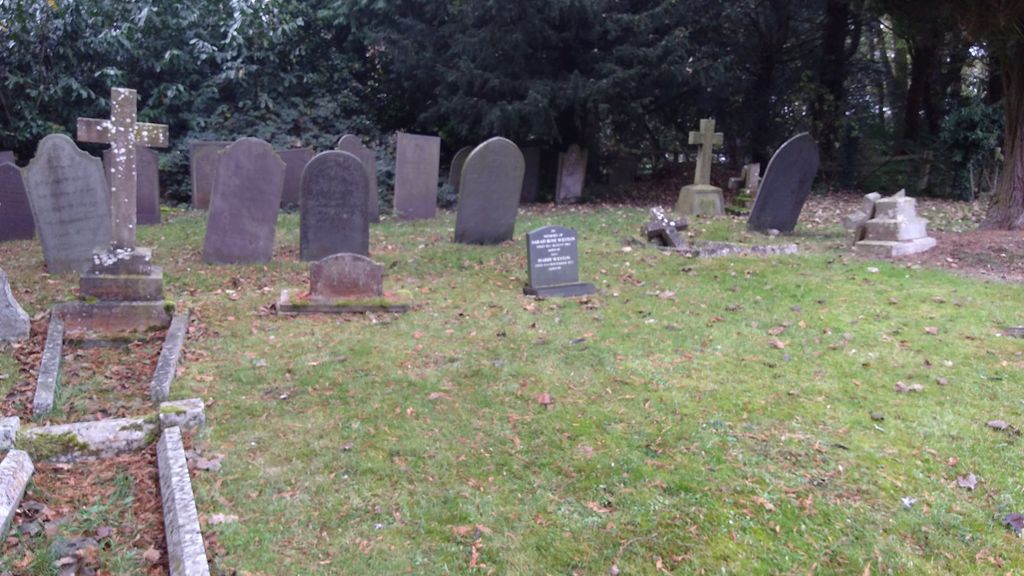
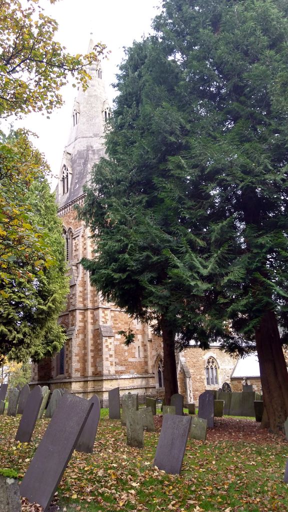
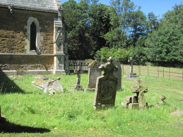
| Memorials | : | 4 |
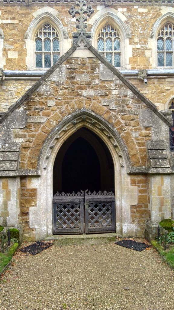
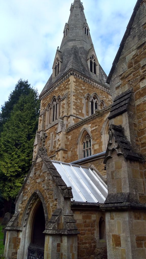
| Location | : | Little Dalby, Melton Borough, England |
| Coordinate | : | 52.7149700, -0.8543800 |
frequently asked questions (FAQ):
-
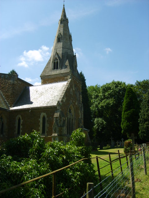
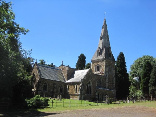
Where is St James the Greater Churchyard?
St James the Greater Churchyard is located at Little Dalby, Melton Borough ,Leicestershire , LE14 2UGEngland.
-
St James the Greater Churchyard cemetery's updated grave count on graveviews.com?
4 memorials
-
Where are the coordinates of the St James the Greater Churchyard?
Latitude: 52.7149700
Longitude: -0.8543800

Nearby Cemetories:
1. All Saints Churchyard, Pickwell
Melton Mowbray, Melton Borough, England
Coordinate: 52.6943280, -0.8388740
2. All Saints Churchyard
Somerby, Melton Borough, England
Coordinate: 52.6864700, -0.8482390
3. Pickwell Road Cemetery
Somerby, Melton Borough, England
Coordinate: 52.6865550, -0.8444540
4. St Mary the Virgin Churchyard
Somerby, Melton Borough, England
Coordinate: 52.6894150, -0.8806740
5. St Swithun Churchyard
Great Dalby, Melton Borough, England
Coordinate: 52.7224510, -0.9027190
6. St James Churchyard
Burton Lazars, Melton Borough, England
Coordinate: 52.7446910, -0.8643730
7. St John the Baptist Churchyard
Cold Overton, Melton Borough, England
Coordinate: 52.6829560, -0.8027660
8. St. Mary Churchyard
Wyfordby, Melton Borough, England
Coordinate: 52.7621940, -0.8257020
9. St Peter Churchyard
Knossington, Melton Borough, England
Coordinate: 52.6699000, -0.8168600
10. Saint Andrew's Churchyard
Owston, Harborough District, England
Coordinate: 52.6642540, -0.8561200
11. St Andrew Churchyard
Twyford, Melton Borough, England
Coordinate: 52.6835600, -0.9217660
12. St Mary Churchyard
Melton Mowbray, Melton Borough, England
Coordinate: 52.7635680, -0.8858380
13. St Andrew Churchyard
Whissendine, Rutland Unitary Authority, England
Coordinate: 52.7200520, -0.7682370
14. St. John the Baptist Catholic Churchyard
Melton Mowbray, Melton Borough, England
Coordinate: 52.7648338, -0.8812819
15. St. Mary Magdalen Churchyard
Stapleford, Melton Borough, England
Coordinate: 52.7553000, -0.7987000
16. Melton Mowbray Old Cemetery
Melton Mowbray, Melton Borough, England
Coordinate: 52.7662520, -0.8859770
17. Thorpe Road Cemetery
Melton Mowbray, Melton Borough, England
Coordinate: 52.7706600, -0.8708200
18. Grange Lane Churchyard Extension, Sysonby
Melton Mowbray, Melton Borough, England
Coordinate: 52.7627410, -0.9077140
19. St. Mary the Virgin Churchyard
Melton Mowbray, Melton Borough, England
Coordinate: 52.7729800, -0.8594080
20. St. Leonards Churchyard Sysonby
Melton Mowbray, Melton Borough, England
Coordinate: 52.7633900, -0.9076000
21. Ashby Folville Church of St Mary
Melton Mowbray, Melton Borough, England
Coordinate: 52.7009720, -0.9555180
22. St Mary's Churchyard
Freeby, Melton Borough, England
Coordinate: 52.7727300, -0.8099500
23. St Peter Churchyard
Kirby Bellars, Melton Borough, England
Coordinate: 52.7569830, -0.9376920
24. SS Peter and Paul Church
Langham, Rutland Unitary Authority, England
Coordinate: 52.6918700, -0.7529300