
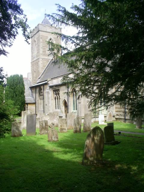
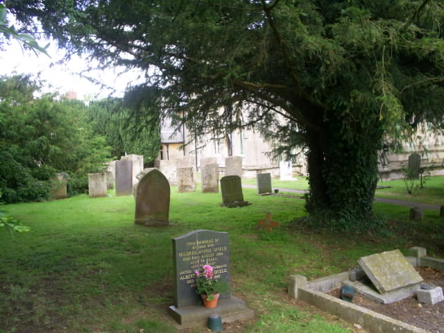
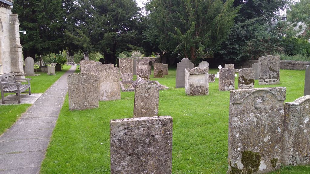
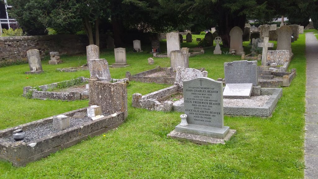
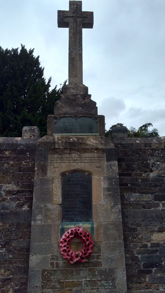
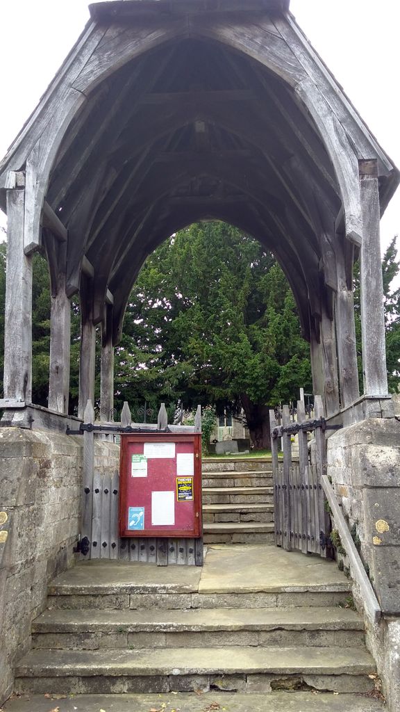
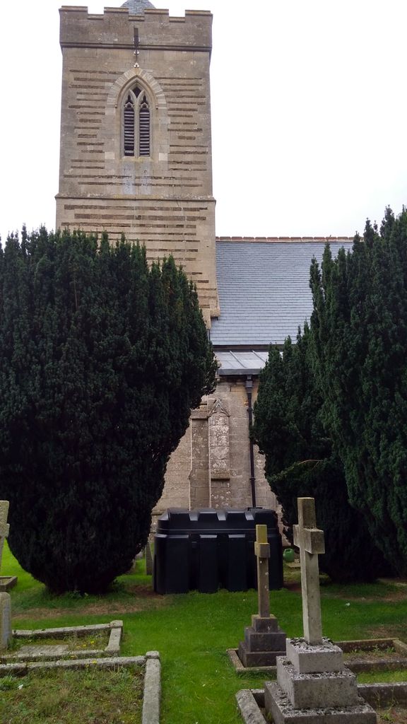
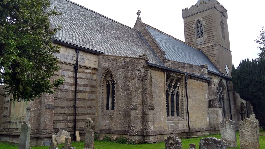
| Memorials | : | 0 |
| Location | : | Ashwell, Rutland Unitary Authority, England |
| Coordinate | : | 52.7144490, -0.7200580 |
frequently asked questions (FAQ):
-
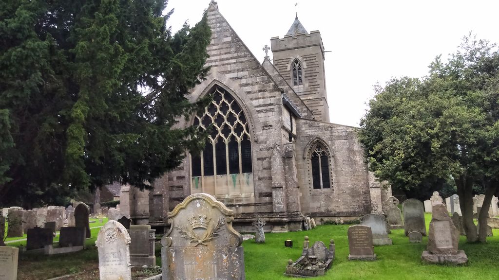
Where is St Mary the Virgin Churchyard?
St Mary the Virgin Churchyard is located at Ashwell, Rutland Unitary Authority ,Rutland ,England.
-
St Mary the Virgin Churchyard cemetery's updated grave count on graveviews.com?
0 memorials
-
Where are the coordinates of the St Mary the Virgin Churchyard?
Latitude: 52.7144490
Longitude: -0.7200580
Nearby Cemetories:
1. Holy Trinity Churchyard
Teigh, Rutland Unitary Authority, England
Coordinate: 52.7348560, -0.7207040
2. St Andrew Churchyard
Whissendine, Rutland Unitary Authority, England
Coordinate: 52.7200520, -0.7682370
3. SS Peter and Paul Church
Langham, Rutland Unitary Authority, England
Coordinate: 52.6918700, -0.7529300
4. Saint Peter and Saint Paul's Churchyard
Market Overton, Rutland Unitary Authority, England
Coordinate: 52.7385000, -0.6893000
5. St. Nicholas Churchyard
Cottesmore, Rutland Unitary Authority, England
Coordinate: 52.7128800, -0.6655820
6. Saint Michael and All Angels Churchyard
Edmondthorpe, Melton Borough, England
Coordinate: 52.7488800, -0.7301600
7. Edmondthorpe Main Street Cemetery
Edmondthorpe, Melton Borough, England
Coordinate: 52.7491560, -0.7300030
8. Oakham Cemetery
Oakham, Rutland Unitary Authority, England
Coordinate: 52.6768700, -0.7297400
9. St Peter Churchyard
Wymondham, Melton Borough, England
Coordinate: 52.7585970, -0.7395410
10. St Mary the Virgin Churchyard
Greetham, Rutland Unitary Authority, England
Coordinate: 52.7216100, -0.6325650
11. St Peter and St Paul Churchyard
Exton, Rutland Unitary Authority, England
Coordinate: 52.6905790, -0.6396910
12. St Nicholas Churchyard
Thistleton, Rutland Unitary Authority, England
Coordinate: 52.7516900, -0.6483100
13. St John the Baptist Churchyard
Cold Overton, Melton Borough, England
Coordinate: 52.6829560, -0.8027660
14. St. Mary Magdalen Churchyard
Stapleford, Melton Borough, England
Coordinate: 52.7553000, -0.7987000
15. St Andrew Churchyard
Hambleton, Rutland Unitary Authority, England
Coordinate: 52.6585060, -0.6712280
16. St Peter's Churchyard
Melton Mowbray, Melton Borough, England
Coordinate: 52.7720980, -0.7865420
17. St Mary Churchyard
Garthorpe, Melton Borough, England
Coordinate: 52.7795740, -0.7685920
18. St Peter Churchyard
Knossington, Melton Borough, England
Coordinate: 52.6699000, -0.8168600
19. All Saints Churchyard, Pickwell
Melton Mowbray, Melton Borough, England
Coordinate: 52.6943280, -0.8388740
20. St Andrew Churchyard
Coston, Melton Borough, England
Coordinate: 52.7905590, -0.7439280
21. St Mary's Churchyard
Freeby, Melton Borough, England
Coordinate: 52.7727300, -0.8099500
22. St. Mary Churchyard
Wyfordby, Melton Borough, England
Coordinate: 52.7621940, -0.8257020
23. Pickwell Road Cemetery
Somerby, Melton Borough, England
Coordinate: 52.6865550, -0.8444540
24. St James the Greater Churchyard
Little Dalby, Melton Borough, England
Coordinate: 52.7149700, -0.8543800