
| Memorials | : | 0 |
| Location | : | Wootton, Bedford Borough, England |
| Website | : | www.stmaryswootton.org.uk/ |
| Coordinate | : | 52.0948730, -0.5362630 |
frequently asked questions (FAQ):
-
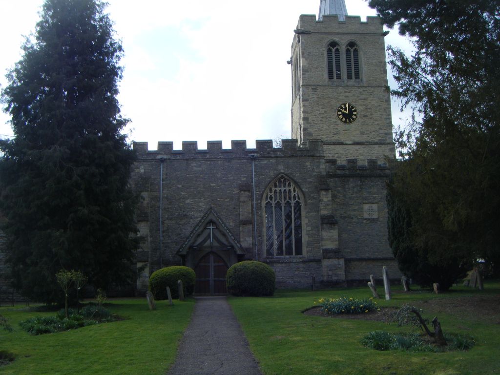
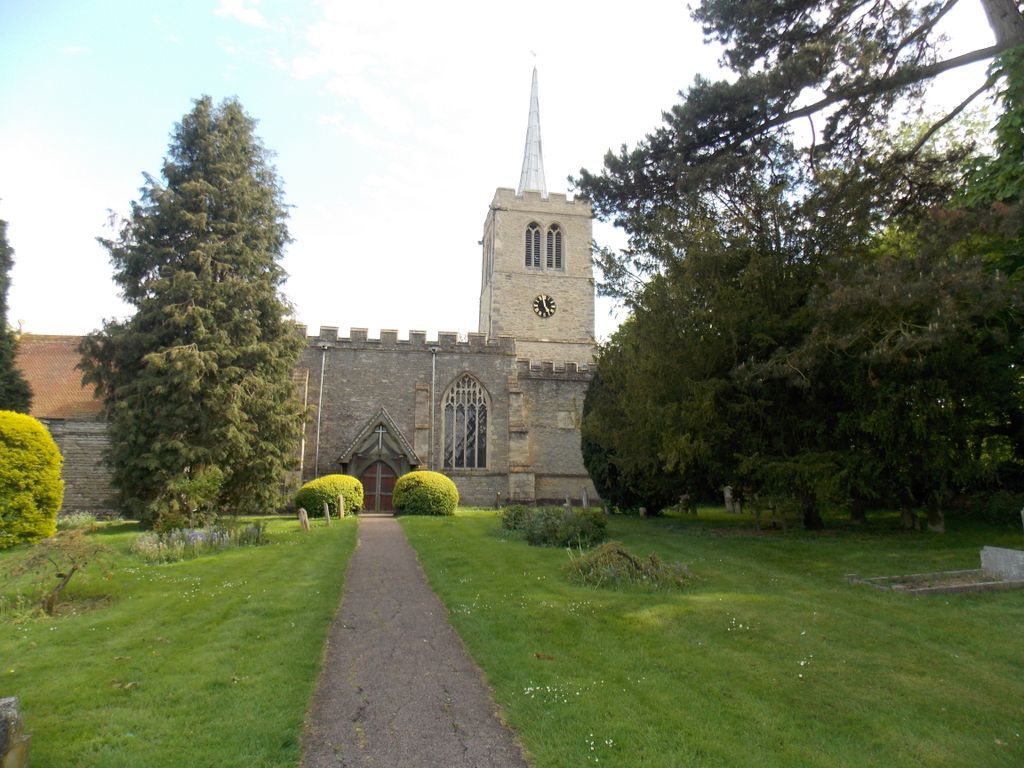
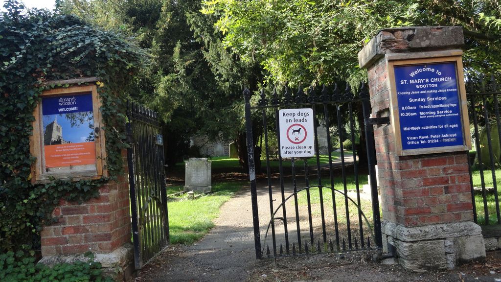
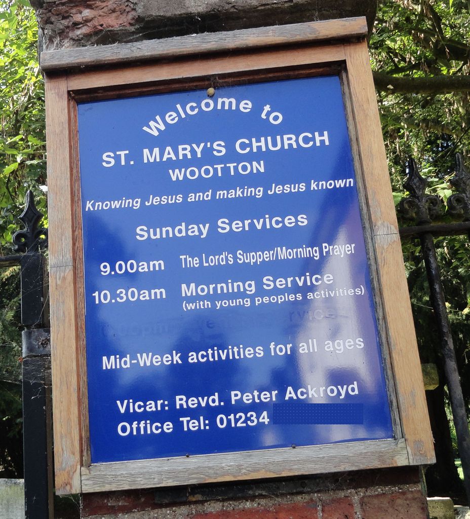
Where is St Mary the Virgin Churchyard?
St Mary the Virgin Churchyard is located at Church Road Wootton, Bedford Borough ,Bedfordshire , MK43 9HFEngland.
-
St Mary the Virgin Churchyard cemetery's updated grave count on graveviews.com?
0 memorials
-
Where are the coordinates of the St Mary the Virgin Churchyard?
Latitude: 52.0948730
Longitude: -0.5362630
Nearby Cemetories:
1. Wootton (Lorraine Road) Cemetery
Wootton, Bedford Borough, England
Coordinate: 52.0987769, -0.5351370
2. Kempston Cemetery
Kempston, Bedford Borough, England
Coordinate: 52.1182990, -0.5224960
3. All Saints Churchyard
Kempston, Bedford Borough, England
Coordinate: 52.1209010, -0.5185350
4. St Mary the Virgin Churchyard
Marston Moretaine, Central Bedfordshire Unitary Authority, England
Coordinate: 52.0597750, -0.5484290
5. Church of the Transfiguration Churchyard
Kempston, Bedford Borough, England
Coordinate: 52.1202169, -0.4902146
6. St. Leonard's Churchyard
Stagsden, Bedford Borough, England
Coordinate: 52.1313467, -0.5662217
7. Cranfield Friend's Burial Ground
Cranfield, Central Bedfordshire Unitary Authority, England
Coordinate: 52.0820192, -0.5998549
8. St James Churchyard
Biddenham, Bedford Borough, England
Coordinate: 52.1381020, -0.5196910
9. St. Mary and St. Helena Churchyard
Elstow, Bedford Borough, England
Coordinate: 52.1149520, -0.4693890
10. All Saints Churchyard
Houghton Conquest, Central Bedfordshire Unitary Authority, England
Coordinate: 52.0614340, -0.4787670
11. Cranfield Cemetery
Cranfield, Central Bedfordshire Unitary Authority, England
Coordinate: 52.0683000, -0.6041200
12. St Peter and St Paul Churchyard
Cranfield, Central Bedfordshire Unitary Authority, England
Coordinate: 52.0679750, -0.6071570
13. Mount Zion Burial Ground
Cranfield, Central Bedfordshire Unitary Authority, England
Coordinate: 52.0703595, -0.6110791
14. St. Peter's Churchyard
Astwood, Milton Keynes Borough, England
Coordinate: 52.1164390, -0.6135200
15. St. Owen Churchyard
Bromham, Bedford Borough, England
Coordinate: 52.1503000, -0.5201000
16. St. Mary's Churchyard
Bedford, Bedford Borough, England
Coordinate: 52.1328400, -0.4654400
17. Franciscan Friars Minor
Bedford, Bedford Borough, England
Coordinate: 52.1388480, -0.4748420
18. St. Paul's Churchyard
Bedford, Bedford Borough, England
Coordinate: 52.1354200, -0.4674300
19. Holy Trinity Churchyard
Bedford, Bedford Borough, England
Coordinate: 52.1395000, -0.4728000
20. St. Michael and All Angels Churchyard
Millbrook, Central Bedfordshire Unitary Authority, England
Coordinate: 52.0358350, -0.5231810
21. Bedford Prison Cemetery
Bedford, Bedford Borough, England
Coordinate: 52.1395000, -0.4701000
22. Howard Chapel
Bedford, Bedford Borough, England
Coordinate: 52.1368000, -0.4652000
23. Bunyan Meeting Burial Ground
Bedford, Bedford Borough, England
Coordinate: 52.1369100, -0.4637500
24. Saint Cuthberts Churchyard
Bedford, Bedford Borough, England
Coordinate: 52.1367460, -0.4629300