
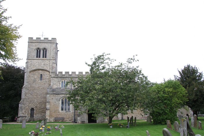
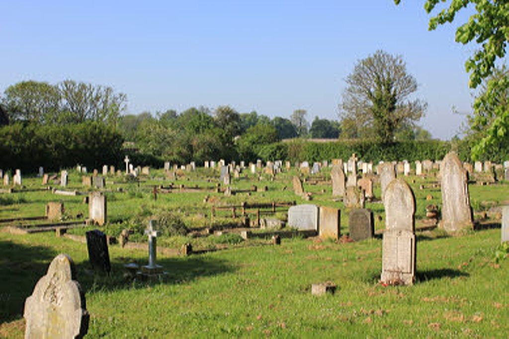
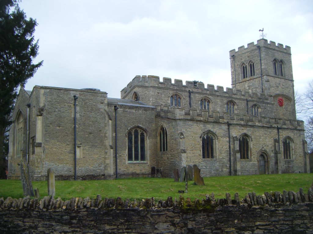
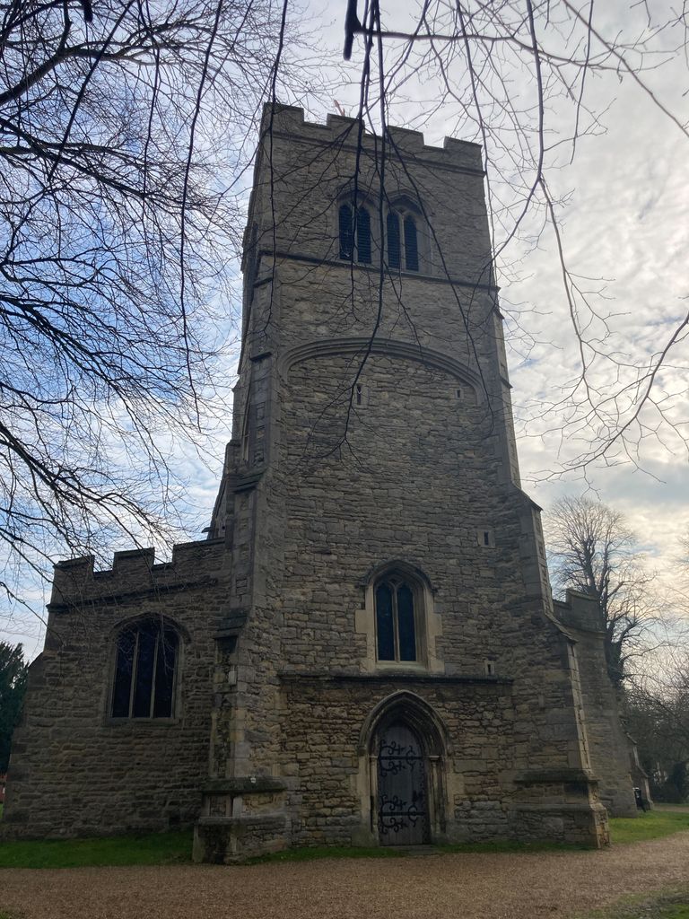
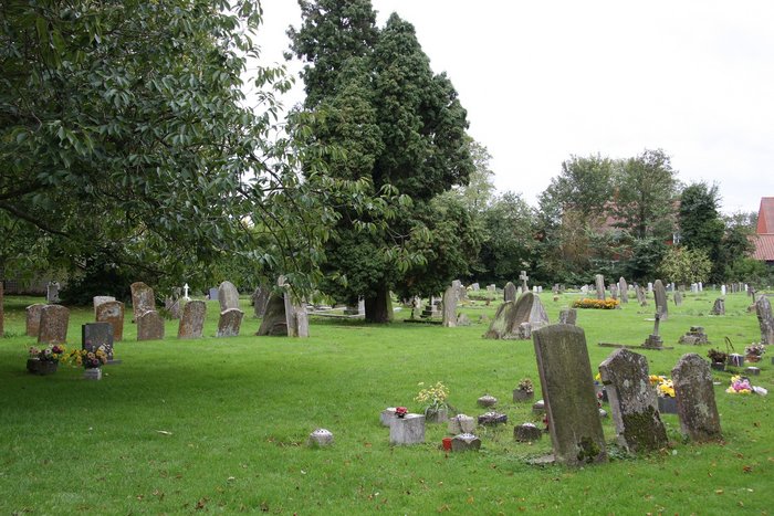
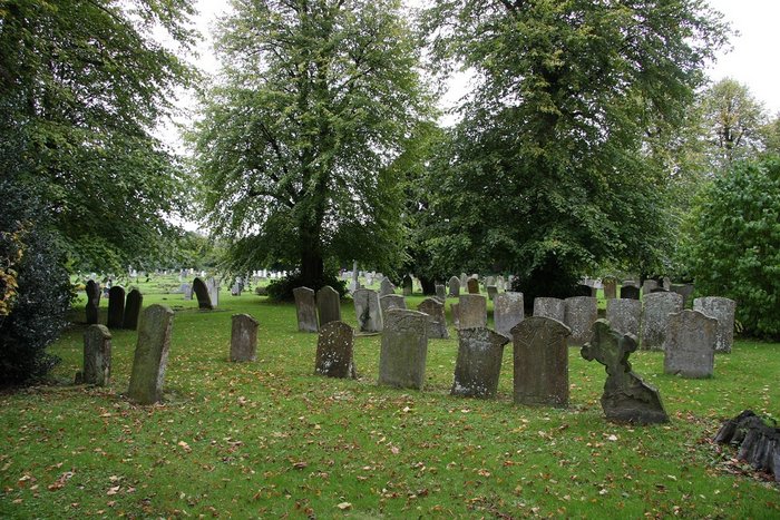
| Memorials | : | 4 |
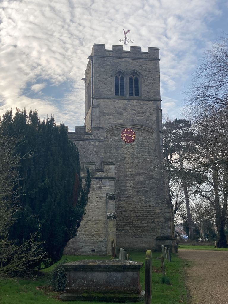
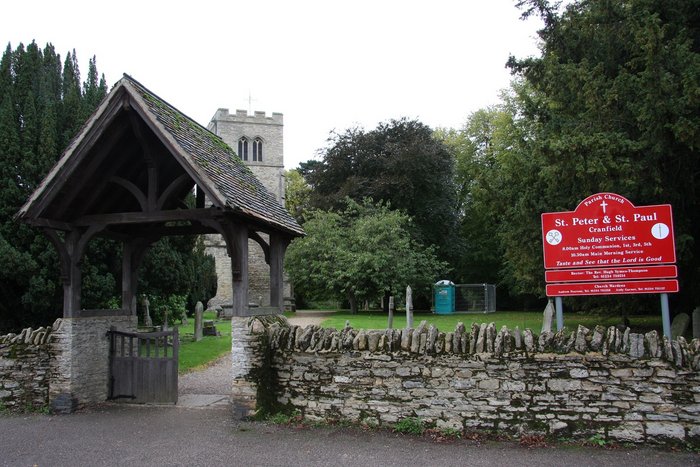
| Location | : | Cranfield, Central Bedfordshire Unitary Authority, England |
| Coordinate | : | 52.0679750, -0.6071570 |
frequently asked questions (FAQ):
-
Where is St Peter and St Paul Churchyard?
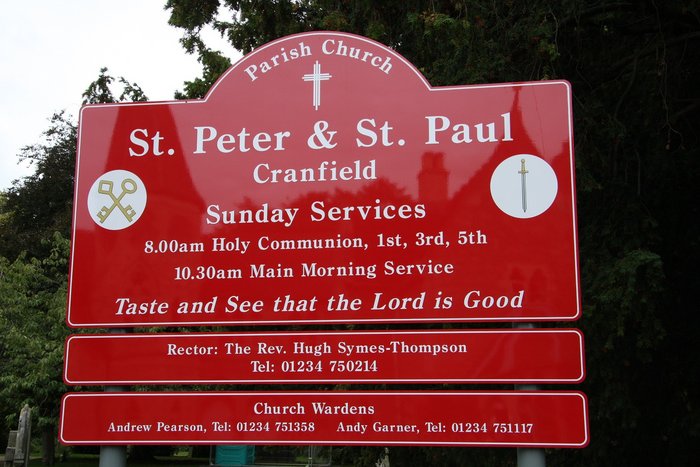
St Peter and St Paul Churchyard is located at Cranfield, Central Bedfordshire Unitary Authority ,Bedfordshire ,England.
-
St Peter and St Paul Churchyard cemetery's updated grave count on graveviews.com?
4 memorials
-
Where are the coordinates of the St Peter and St Paul Churchyard?
Latitude: 52.0679750
Longitude: -0.6071570
Nearby Cemetories:
1. Cranfield Cemetery
Cranfield, Central Bedfordshire Unitary Authority, England
Coordinate: 52.0683000, -0.6041200
2. Mount Zion Burial Ground
Cranfield, Central Bedfordshire Unitary Authority, England
Coordinate: 52.0703595, -0.6110791
3. Cranfield Friend's Burial Ground
Cranfield, Central Bedfordshire Unitary Authority, England
Coordinate: 52.0820192, -0.5998549
4. St Nicholas Churchyard
Hulcote, Central Bedfordshire Unitary Authority, England
Coordinate: 52.0399000, -0.6246000
5. St. Mary the Virgin Churchyard
Salford, Central Bedfordshire Unitary Authority, England
Coordinate: 52.0424070, -0.6368910
6. St. Firmin Churchyard
North Crawley, Milton Keynes Borough, England
Coordinate: 52.0924400, -0.6485000
7. St Mary the Virgin Churchyard
Marston Moretaine, Central Bedfordshire Unitary Authority, England
Coordinate: 52.0597750, -0.5484290
8. Assumption of the Blessed Virgin Mary Churchyard
Moulsoe, Milton Keynes Borough, England
Coordinate: 52.0666500, -0.6790070
9. St. Peter's Churchyard
Astwood, Milton Keynes Borough, England
Coordinate: 52.1164390, -0.6135200
10. St Mary the Virgin Churchyard
Wootton, Bedford Borough, England
Coordinate: 52.0948730, -0.5362630
11. St James Churchyard
Husborne Crawley, Central Bedfordshire Unitary Authority, England
Coordinate: 52.0162250, -0.6090110
12. St. Botolph's Churchyard
Aspley Guise, Central Bedfordshire Unitary Authority, England
Coordinate: 52.0166510, -0.6281470
13. Wootton (Lorraine Road) Cemetery
Wootton, Bedford Borough, England
Coordinate: 52.0987769, -0.5351370
14. St. Mary's Churchyard
Hardmead, Milton Keynes Borough, England
Coordinate: 52.1196000, -0.6358000
15. St Lawrence Churchyard
Chicheley, Milton Keynes Borough, England
Coordinate: 52.1037000, -0.6807000
16. St. Lawrence's Churchyard
Broughton, Milton Keynes Borough, England
Coordinate: 52.0522000, -0.6980000
17. St. Mary's Churchyard
Wavendon, Milton Keynes Borough, England
Coordinate: 52.0257000, -0.6730000
18. All Saint's Churchyard
Ridgmont, Central Bedfordshire Unitary Authority, England
Coordinate: 52.0117910, -0.5719780
19. St. Michael and All Angels Churchyard
Millbrook, Central Bedfordshire Unitary Authority, England
Coordinate: 52.0358350, -0.5231810
20. St Marys Roman Catholic Cemetery
Woburn Sands, Milton Keynes Borough, England
Coordinate: 52.0103000, -0.6413000
21. Woburn Sands & Aspley Heath War Memorial
Woburn, Central Bedfordshire Unitary Authority, England
Coordinate: 52.0115470, -0.6473350
22. St. Michael's Churchyard
Woburn Sands, Milton Keynes Borough, England
Coordinate: 52.0087770, -0.6485350
23. Tickford Street Cemetery
Newport Pagnell, Milton Keynes Borough, England
Coordinate: 52.0807670, -0.7121200
24. All Saints Churchyard
Milton Keynes, Milton Keynes Borough, England
Coordinate: 52.0438000, -0.7070000