
| Memorials | : | 0 |
| Location | : | Edwardstone, Babergh District, England |
| Coordinate | : | 52.0435300, 0.8283500 |
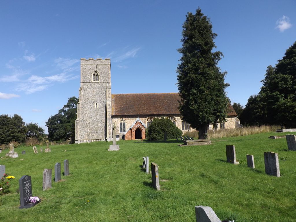
| Description | : | Edwardstone is a village and civil parish in Suffolk, England. The parish contains the hamlets of Mill Green, Priory Green, Round Maple and Sherbourne Street, and the Edwardstone Woods, a Site of Special Scientific Interest. Edwardstone was listed in the Domesday Book as Eduardestuna. Edwardstone Priory was a priory in Priory Green, Edwardstone and was founded by Peter, Bishop of Winchester during the reign of King John. The priory was a cell to Abingdon monastery, before the monks resident were moved to Colne Priory. Edwardstone's parish church is a Grade 1 listed building. |
frequently asked questions (FAQ):
-
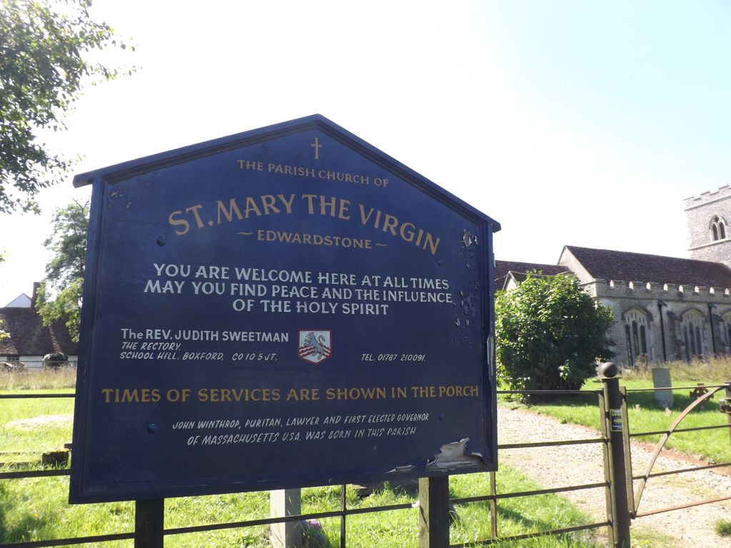
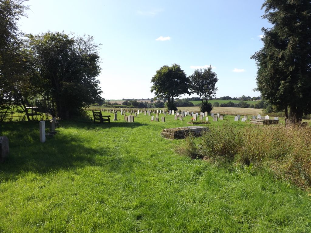
Where is St Mary the Virgin Churchyard?
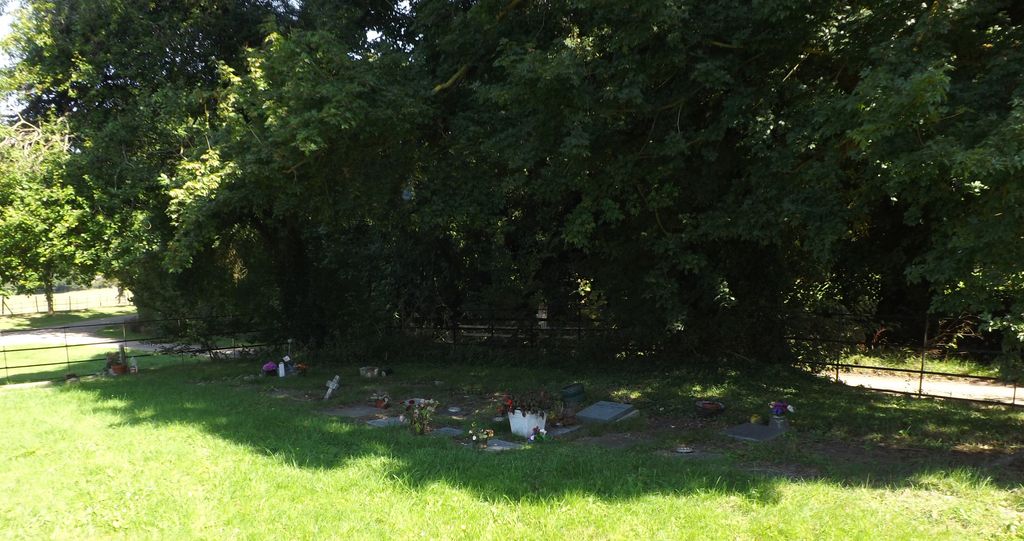
St Mary the Virgin Churchyard is located at Temple Bar, (along a farm access road leading through the Temple Bar) Edwardstone, Babergh District ,Suffolk , CO10 5PHEngland.
-
St Mary the Virgin Churchyard cemetery's updated grave count on graveviews.com?
0 memorials
-
Where are the coordinates of the St Mary the Virgin Churchyard?
Latitude: 52.0435300
Longitude: 0.8283500
Nearby Cemetories:
1. St. Bartholomew's Churchyard
Groton, Babergh District, England
Coordinate: 52.0388810, 0.8558090
2. All Saints Churchyard
Newton, Babergh District, England
Coordinate: 52.0364000, 0.7966500
3. St Mary's Churchyard
Boxford, Babergh District, England
Coordinate: 52.0280870, 0.8594160
4. Boxford Cemetery
Boxford, Babergh District, England
Coordinate: 52.0268400, 0.8601300
5. St Lawrence Churchyard
Great Waldingfield, Babergh District, England
Coordinate: 52.0606620, 0.7879070
6. St Edmund King and Martyr Churchyard
Assington, Babergh District, England
Coordinate: 52.0138120, 0.8194260
7. World War I Memorial
Assington, Babergh District, England
Coordinate: 52.0138200, 0.8193504
8. St Lawrence Churchyard
Little Waldingfield, Babergh District, England
Coordinate: 52.0715620, 0.8059600
9. St. Mary's Church of England
Milton Keynes Borough, England
Coordinate: 52.0769560, 0.7937130
10. St Peter's Churchyard
Lindsey, Babergh District, England
Coordinate: 52.0672960, 0.8842620
11. St Peter's Churchyard
Milden, Babergh District, England
Coordinate: 52.0824970, 0.8569200
12. St Andrew Churchyard
Great Cornard, Babergh District, England
Coordinate: 52.0304820, 0.7602450
13. All Saints Churchyard
Little Cornard, Babergh District, England
Coordinate: 52.0175530, 0.7703720
14. All Saints Churchyard
Acton, Babergh District, England
Coordinate: 52.0729650, 0.7598490
15. Great Cornard Cemetery
Great Cornard, Babergh District, England
Coordinate: 52.0332410, 0.7450320
16. Monks Eleigh United Reformed Church
Monks Eleigh, Babergh District, England
Coordinate: 52.0918390, 0.8673530
17. St. Mary's Churchyard
Chilton, Babergh District, England
Coordinate: 52.0146121, 0.7541590
18. Sudbury Cemetery
Sudbury, Babergh District, England
Coordinate: 52.0389500, 0.7404050
19. St Mary Churchyard
Brent Eleigh, Babergh District, England
Coordinate: 52.0983910, 0.8341560
20. Saint Peter's Churchyard
Monks Eleigh, Babergh District, England
Coordinate: 52.0930860, 0.8688960
21. St Mary Churchyard
Polstead, Babergh District, England
Coordinate: 52.0054860, 0.8964940
22. St. Mary's Churchyard
Kersey, Babergh District, England
Coordinate: 52.0574611, 0.9190082
23. St Peter Churchyard
Sudbury, Babergh District, England
Coordinate: 52.0386820, 0.7314680
24. St Gregory Churchyard
Sudbury, Babergh District, England
Coordinate: 52.0401820, 0.7260000