
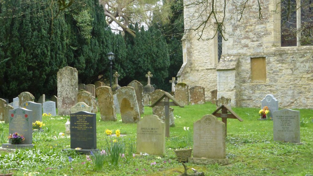
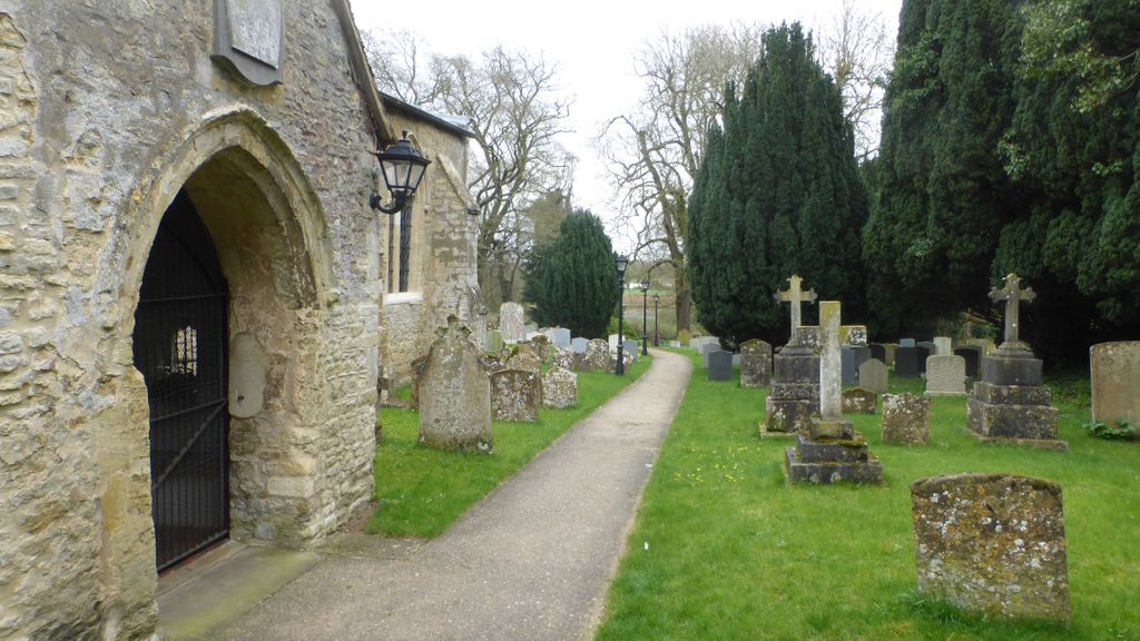
| Memorials | : | 0 |
| Location | : | Milton Keynes Borough, England |
| Coordinate | : | 52.0769560, 0.7937130 |
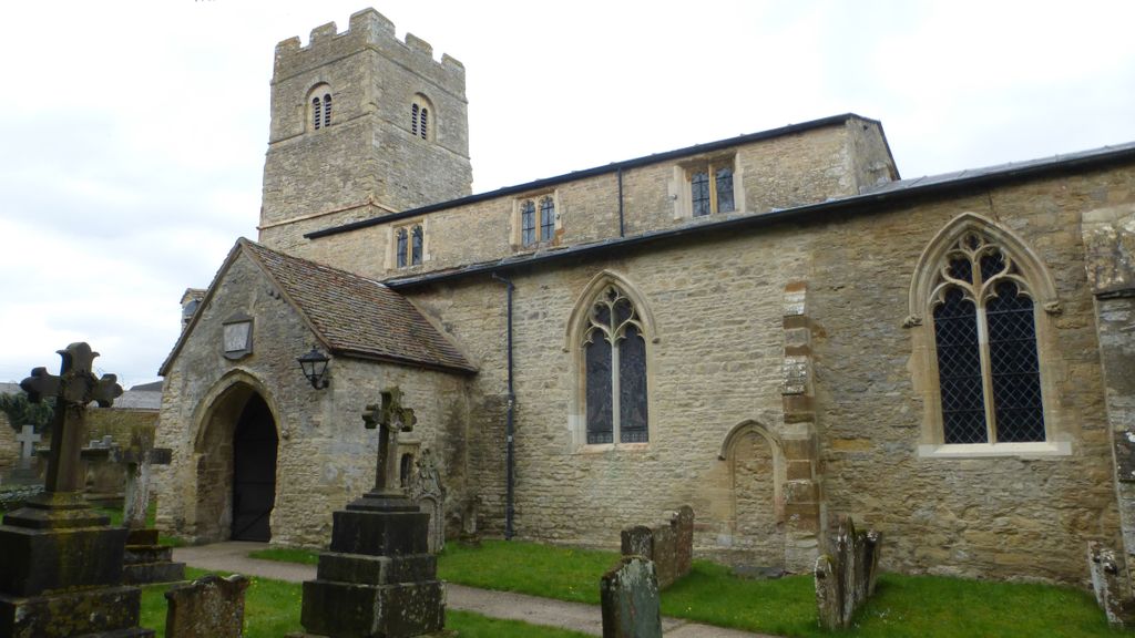
| Description | : | Located in the village of Haversham-cum-Little Linford, just north in the Milton Keynes Borough, this church dates to before 1160. A few additions to enlarge the church were made between 1160 and 1220. About 1221, the use of the Bishops Door on the north side of the building was discontinued and closed off; after which it was referred to as the witches door. The worshipers who utilized this building were of the Church of England denomination. |
frequently asked questions (FAQ):
-
Where is St. Mary's Church of England?
St. Mary's Church of England is located at Milton Keynes Borough ,Buckinghamshire ,England.
-
St. Mary's Church of England cemetery's updated grave count on graveviews.com?
0 memorials
-
Where are the coordinates of the St. Mary's Church of England?
Latitude: 52.0769560
Longitude: 0.7937130
Nearby Cemetories:
1. St Lawrence Churchyard
Little Waldingfield, Babergh District, England
Coordinate: 52.0715620, 0.8059600
2. St Lawrence Churchyard
Great Waldingfield, Babergh District, England
Coordinate: 52.0606620, 0.7879070
3. All Saints Churchyard
Acton, Babergh District, England
Coordinate: 52.0729650, 0.7598490
4. Lavenham Cemetery
Lavenham, Babergh District, England
Coordinate: 52.1039670, 0.7883200
5. Saint Peter and Saint Paul Churchyard
Lavenham, Babergh District, England
Coordinate: 52.1062530, 0.7917130
6. St Mary Churchyard
Brent Eleigh, Babergh District, England
Coordinate: 52.0983910, 0.8341560
7. St Peter's Churchyard
Milden, Babergh District, England
Coordinate: 52.0824970, 0.8569200
8. St Mary the Virgin Churchyard
Edwardstone, Babergh District, England
Coordinate: 52.0435300, 0.8283500
9. All Saints Churchyard
Newton, Babergh District, England
Coordinate: 52.0364000, 0.7966500
10. Holy Trinity Churchyard
Long Melford, Babergh District, England
Coordinate: 52.0877110, 0.7207640
11. Monks Eleigh United Reformed Church
Monks Eleigh, Babergh District, England
Coordinate: 52.0918390, 0.8673530
12. Independent Chapel Cemetery
Long Melford, Babergh District, England
Coordinate: 52.0755010, 0.7157700
13. Saint Peter's Churchyard
Monks Eleigh, Babergh District, England
Coordinate: 52.0930860, 0.8688960
14. St Mary's Churchyard
Preston St Mary, Babergh District, England
Coordinate: 52.1166280, 0.8410180
15. Sudbury Cemetery
Sudbury, Babergh District, England
Coordinate: 52.0389500, 0.7404050
16. St Andrew Churchyard
Great Cornard, Babergh District, England
Coordinate: 52.0304820, 0.7602450
17. Great Cornard Cemetery
Great Cornard, Babergh District, England
Coordinate: 52.0332410, 0.7450320
18. St. Bartholomew's Churchyard
Groton, Babergh District, England
Coordinate: 52.0388810, 0.8558090
19. St Peter Churchyard
Sudbury, Babergh District, England
Coordinate: 52.0386820, 0.7314680
20. St Gregory Churchyard
Sudbury, Babergh District, England
Coordinate: 52.0401820, 0.7260000
21. St Peter's Churchyard
Lindsey, Babergh District, England
Coordinate: 52.0672960, 0.8842620
22. Ss Peter & Paul Churchyard
Alpheton, Babergh District, England
Coordinate: 52.1207310, 0.7350230
23. Liston Churchyard
Liston, Braintree District, England
Coordinate: 52.0703970, 0.7017420
24. Sudbury Blackfriars Priory
Sudbury, Babergh District, England
Coordinate: 52.0357180, 0.7257820