
| Memorials | : | 0 |
| Location | : | East Brent, Sedgemoor District, England |
| Coordinate | : | 51.2624370, -2.9418620 |
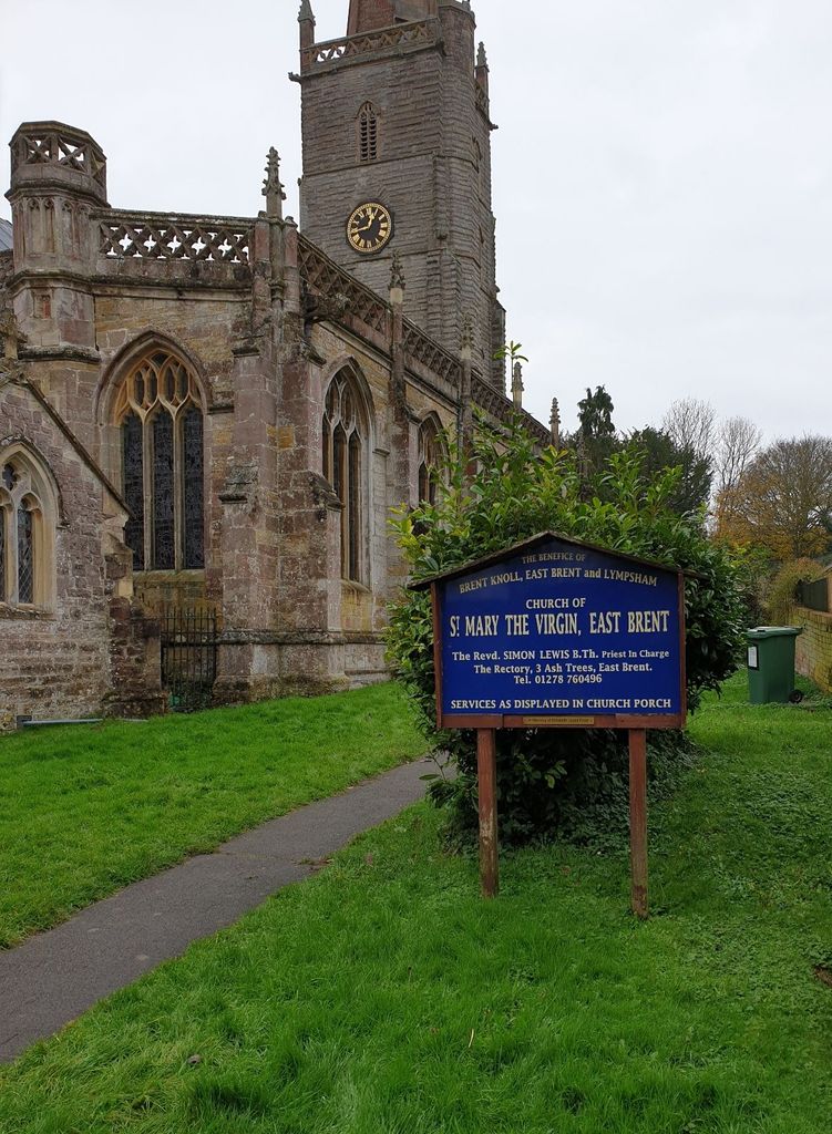
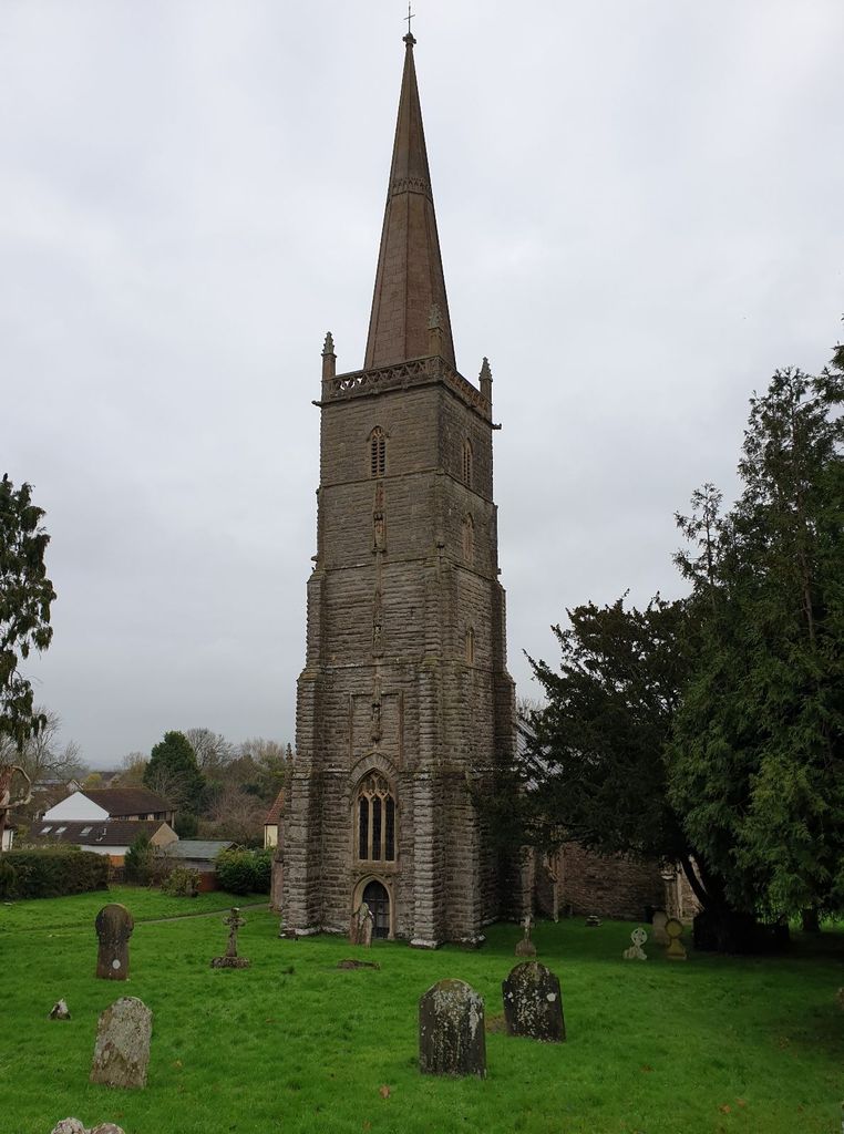
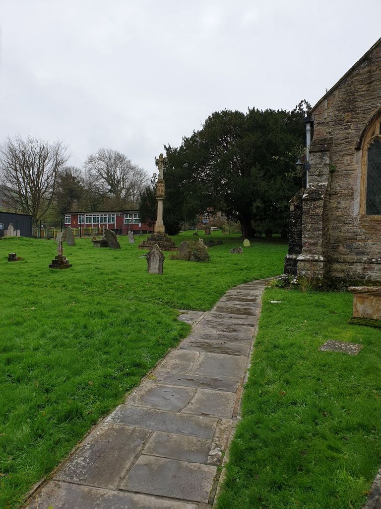
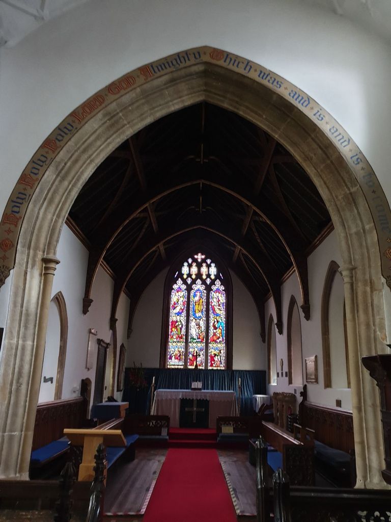
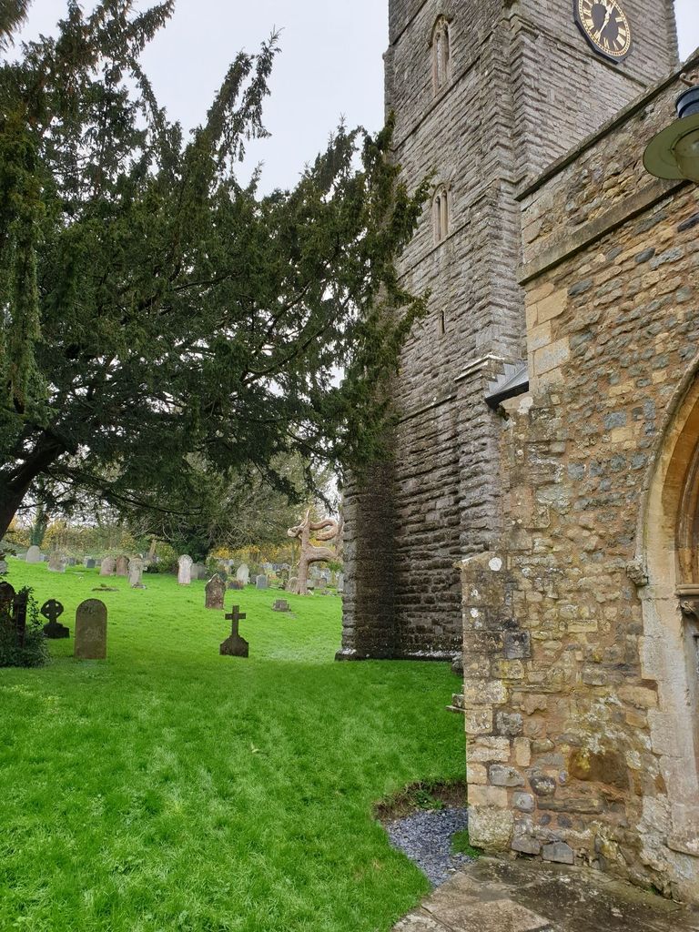
| Description | : | The village of East Brent dates from the Anglo-Saxon period and appeared in the Domesday Book of 1086. The present church of St Mary the Virgin dates from around 1300 but we know there was an earlier church because a rector was recorded in 1190. The tower is unchanged from the 15th century when it was built. It is narrower than the usual chunky Somerset towers and topped by an elegant spire, an unusual feature for Somerset. The chancel was rebuilt in 1840-5. The churchyard extends west from the church building. The earliest recorded burial is from 1558. |
frequently asked questions (FAQ):
-
Where is St. Mary the Virgin Churchyard?
St. Mary the Virgin Churchyard is located at East Brent, Sedgemoor District ,Somerset ,England.
-
St. Mary the Virgin Churchyard cemetery's updated grave count on graveviews.com?
0 memorials
-
Where are the coordinates of the St. Mary the Virgin Churchyard?
Latitude: 51.2624370
Longitude: -2.9418620
Nearby Cemetories:
1. St Michael and All Angels Parish Churchyard
Brent Knoll, Sedgemoor District, England
Coordinate: 51.2520000, -2.9539000
2. St Christopher's Churchyard
Lympsham, Sedgemoor District, England
Coordinate: 51.2826740, -2.9546028
3. St. John the Baptist Churchyard
Biddisham, Sedgemoor District, England
Coordinate: 51.2764090, -2.8878950
4. Burnham-on-Sea Cemetery
Burnham-on-Sea, Sedgemoor District, England
Coordinate: 51.2408600, -2.9933900
5. St. Andrew's Churchyard
Burnham-on-Sea, Sedgemoor District, England
Coordinate: 51.2395800, -2.9977870
6. Convent of La Retraite
Burnham-on-Sea, Sedgemoor District, England
Coordinate: 51.2346309, -2.9926981
7. Highbridge Cemetery
Highbridge, Sedgemoor District, England
Coordinate: 51.2249430, -2.9741730
8. Saint Peter and St. Paul Churchyard
Bleadon, North Somerset Unitary Authority, England
Coordinate: 51.3074000, -2.9458300
9. Saint Mary Magdalene Churchyard
Berrow, Sedgemoor District, England
Coordinate: 51.2669160, -3.0136980
10. St Andrew's Church
Loxton, North Somerset Unitary Authority, England
Coordinate: 51.2981560, -2.8962140
11. St Congar Churchyard
Badgworth, Sedgemoor District, England
Coordinate: 51.2699300, -2.8674000
12. Holy Cross Churchyard
Mark, Sedgemoor District, England
Coordinate: 51.2269640, -2.8860140
13. Saint Bridget Churchyard
Brean, Sedgemoor District, England
Coordinate: 51.2983000, -3.0100000
14. Saint Andrew Churchyard
Compton Bishop, Sedgemoor District, England
Coordinate: 51.2943290, -2.8678900
15. The Blessed Virgin Mary
Axbridge, Sedgemoor District, England
Coordinate: 51.3112017, -2.8913443
16. Allerton Churchyard
Chapel Allerton, Sedgemoor District, England
Coordinate: 51.2479860, -2.8482400
17. St Mary the Virgin Churchyard
Hutton, North Somerset Unitary Authority, England
Coordinate: 51.3228030, -2.9306350
18. All Saints Churchyard
East Huntspill, Sedgemoor District, England
Coordinate: 51.2015000, -2.9405700
19. Old St Nicholas Churchyard
Uphill, North Somerset Unitary Authority, England
Coordinate: 51.3203480, -2.9828110
20. St Gregory Churchyard
Weare, Sedgemoor District, England
Coordinate: 51.2699900, -2.8408600
21. St Nicholas Churchyard (New)
Uphill, North Somerset Unitary Authority, England
Coordinate: 51.3246210, -2.9778420
22. Saint Peter and All Hallows Churchyard
West Huntspill, Sedgemoor District, England
Coordinate: 51.2041900, -2.9966370
23. Holy Trinity Churchyard
Blackford, Sedgemoor District, England
Coordinate: 51.2257800, -2.8483000
24. St. Augustine's Parish Churchyard
Locking, North Somerset Unitary Authority, England
Coordinate: 51.3322900, -2.9147683