
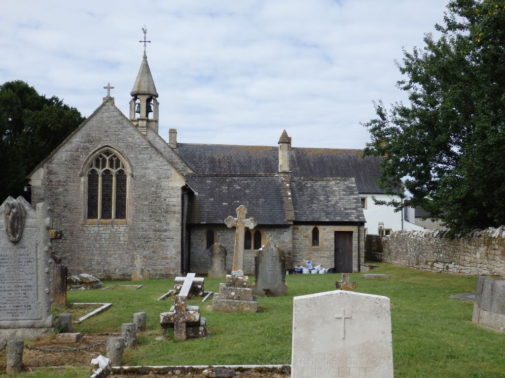
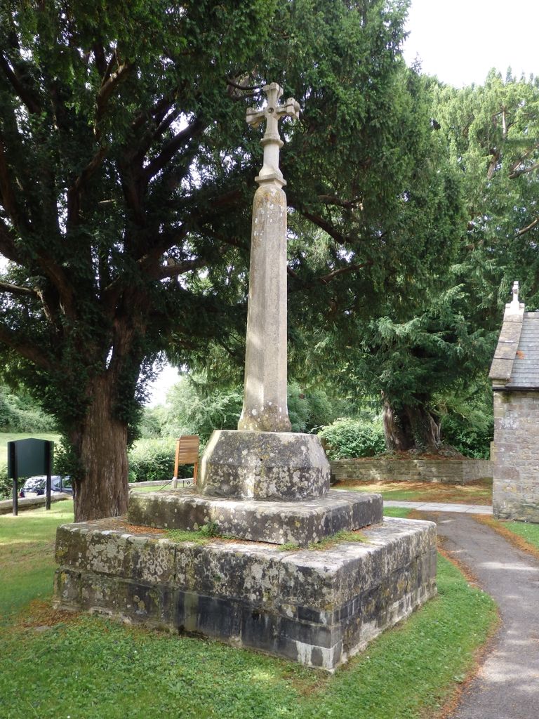
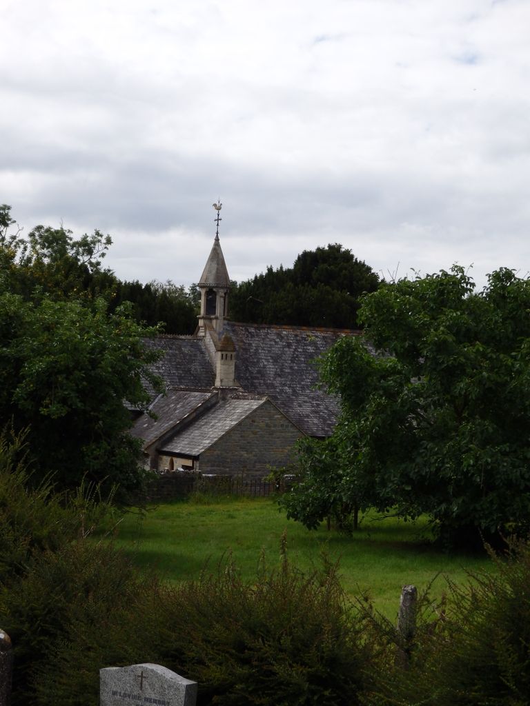
| Memorials | : | 101 |
| Location | : | Chapel Allerton, Sedgemoor District, England |
| Coordinate | : | 51.2479860, -2.8482400 |
frequently asked questions (FAQ):
-
Where is Allerton Churchyard?
Allerton Churchyard is located at Chapel Allerton, Sedgemoor District ,Somerset ,England.
-
Allerton Churchyard cemetery's updated grave count on graveviews.com?
101 memorials
-
Where are the coordinates of the Allerton Churchyard?
Latitude: 51.2479860
Longitude: -2.8482400


Nearby Cemetories:
1. Holy Trinity Churchyard
Blackford, Sedgemoor District, England
Coordinate: 51.2257800, -2.8483000
2. St Gregory Churchyard
Weare, Sedgemoor District, England
Coordinate: 51.2699900, -2.8408600
3. St Congar Churchyard
Badgworth, Sedgemoor District, England
Coordinate: 51.2699300, -2.8674000
4. St. Mary Magdalene Churchyard Extension
Wedmore, Sedgemoor District, England
Coordinate: 51.2327583, -2.8065246
5. St. Mary Churchyard
Wedmore, Sedgemoor District, England
Coordinate: 51.2276790, -2.8110360
6. Holy Cross Churchyard
Mark, Sedgemoor District, England
Coordinate: 51.2269640, -2.8860140
7. Baptist Churchyard
Wedmore, Sedgemoor District, England
Coordinate: 51.2260400, -2.8099800
8. St. John the Baptist Churchyard
Biddisham, Sedgemoor District, England
Coordinate: 51.2764090, -2.8878950
9. St. John the Baptist Churchyard
Axbridge, Sedgemoor District, England
Coordinate: 51.2876300, -2.8162900
10. Saint Andrew Churchyard
Compton Bishop, Sedgemoor District, England
Coordinate: 51.2943290, -2.8678900
11. St. Michael Sanatorium Cemetery
Axbridge, Sedgemoor District, England
Coordinate: 51.2904100, -2.8056900
12. Cheddar Baptist Burial Ground
Cheddar, Sedgemoor District, England
Coordinate: 51.2767330, -2.7792010
13. St. Andrew's Churchyard
Cheddar, Sedgemoor District, England
Coordinate: 51.2736740, -2.7761330
14. St. James the Great Churchyard
Winscombe, North Somerset Unitary Authority, England
Coordinate: 51.3059750, -2.8456900
15. St Andrew's Church
Loxton, North Somerset Unitary Authority, England
Coordinate: 51.2981560, -2.8962140
16. St. Mary the Virgin Churchyard
East Brent, Sedgemoor District, England
Coordinate: 51.2624370, -2.9418620
17. St. Peter's Churchyard
Draycott, Mendip District, England
Coordinate: 51.2580900, -2.7523800
18. St. Philip and St. James Churchyard
Burtle, Sedgemoor District, England
Coordinate: 51.1856232, -2.8665409
19. Christ Church Theale
Wedmore, Sedgemoor District, England
Coordinate: 51.2113720, -2.7631570
20. St. Leonard's Churchyard
Rodney Stoke, Mendip District, England
Coordinate: 51.2455140, -2.7431800
21. St Michael and All Angels Parish Churchyard
Brent Knoll, Sedgemoor District, England
Coordinate: 51.2520000, -2.9539000
22. The Blessed Virgin Mary
Axbridge, Sedgemoor District, England
Coordinate: 51.3112017, -2.8913443
23. St Leonard's Churchyard
Shipham, Sedgemoor District, England
Coordinate: 51.3130980, -2.8001830
24. All Saints Churchyard
East Huntspill, Sedgemoor District, England
Coordinate: 51.2015000, -2.9405700