
| Memorials | : | 0 |
| Location | : | Longstanton, South Cambridgeshire District, England |
| Coordinate | : | 52.2729100, 0.0544700 |
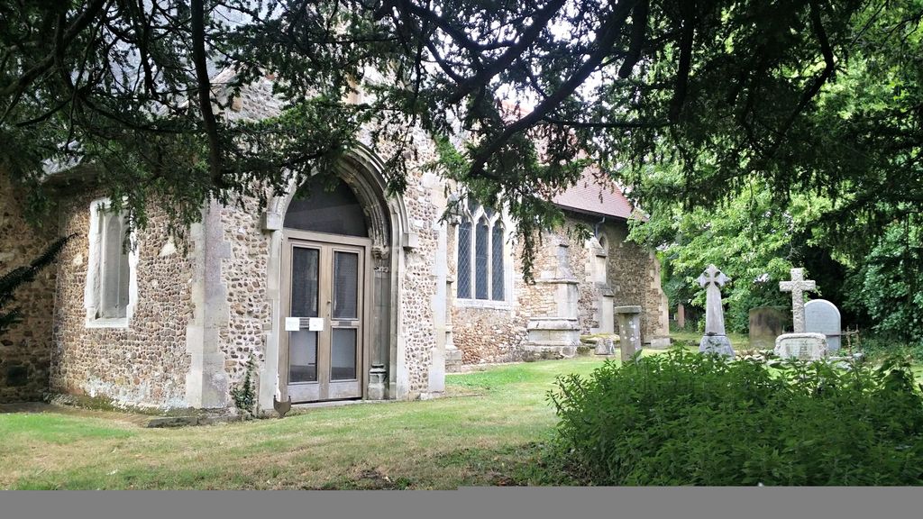
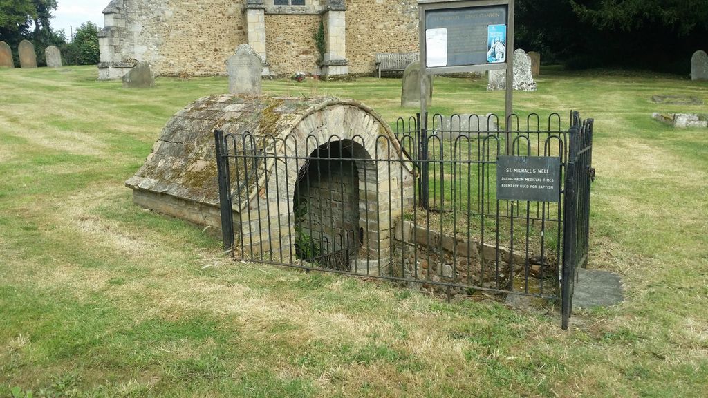
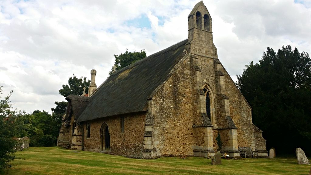
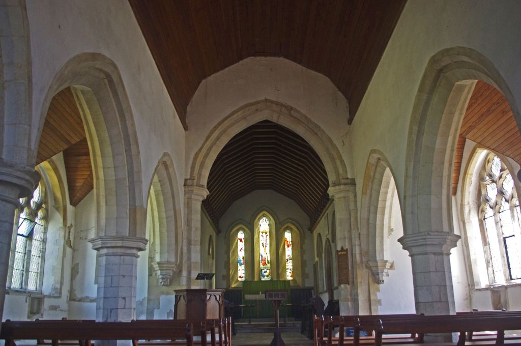
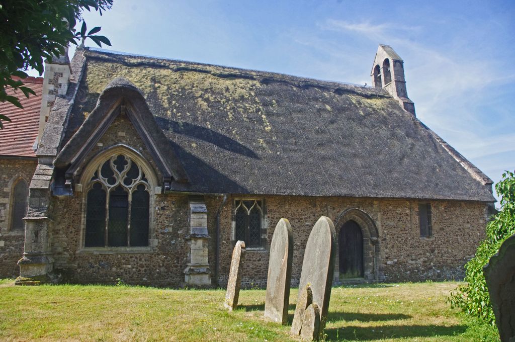
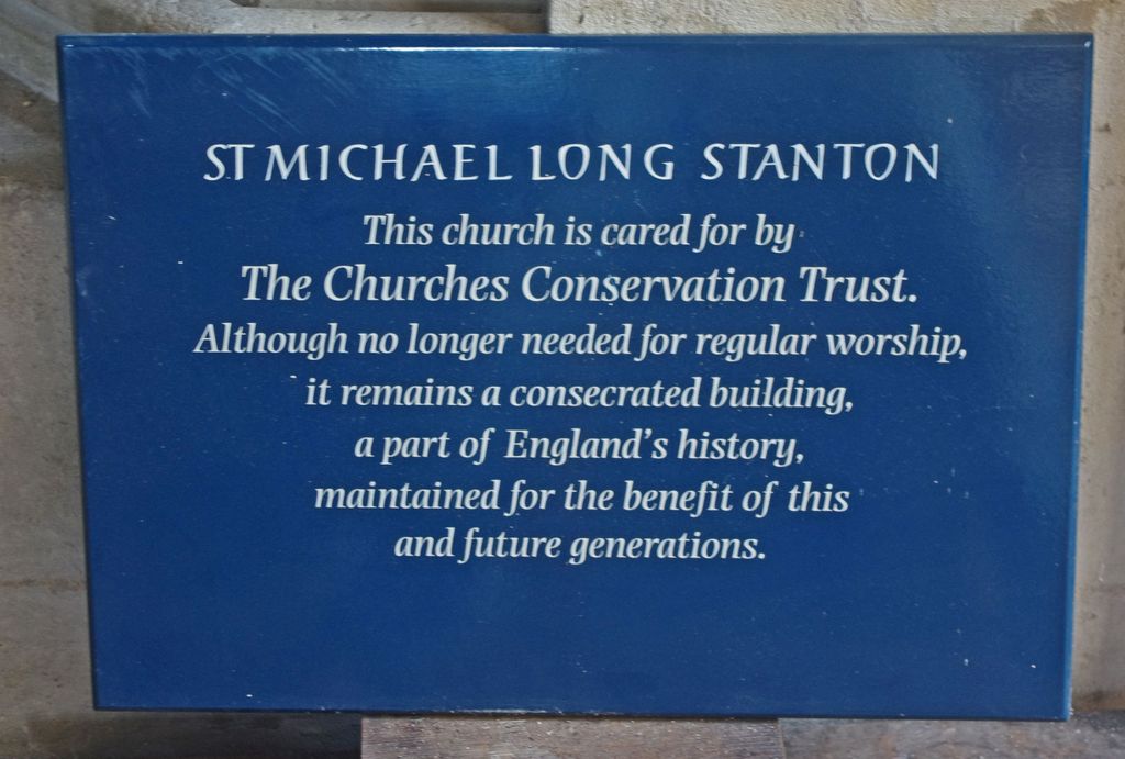
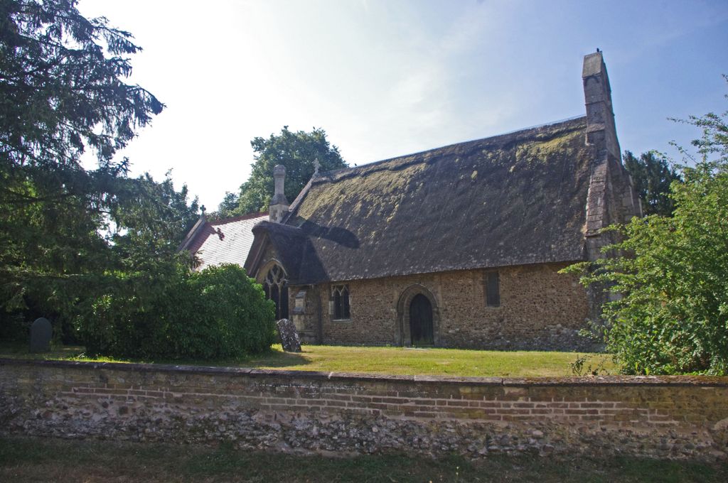
| Description | : | The village of Longstanton has two churches – those of All Saints and St Michael’s. This reflected the fact that it used to be divided into two villages named Longstanton All Saints and Longstanton St Michael . The small 13th century church of St Michael is the oldest building in the village, though sadly now redundant. It is a fine example of Early English architecture. It has a chancel, and a nave and two aisles which are thatched (One of only two thatched churches in Cambridgeshire and one of only a handful in England). The west end was... Read More |
frequently asked questions (FAQ):
-
Where is St. Michael's Churchyard?
St. Michael's Churchyard is located at St Michaels Lane Longstanton, South Cambridgeshire District ,Cambridgeshire , CB24 3BZEngland.
-
St. Michael's Churchyard cemetery's updated grave count on graveviews.com?
0 memorials
-
Where are the coordinates of the St. Michael's Churchyard?
Latitude: 52.2729100
Longitude: 0.0544700
Nearby Cemetories:
1. All Saints Churchyard
Longstanton, South Cambridgeshire District, England
Coordinate: 52.2780700, 0.0485100
2. Longstanton Cemetery
Longstanton, South Cambridgeshire District, England
Coordinate: 52.2800010, 0.0433180
3. St. Andrew's Churchyard
Oakington, South Cambridgeshire District, England
Coordinate: 52.2631910, 0.0715050
4. Cambridge City Crematorium
Girton, South Cambridgeshire District, England
Coordinate: 52.2443620, 0.0497920
5. Huntingdon Road Cemetery
Cambridge, City of Cambridge, England
Coordinate: 52.2435900, 0.0462900
6. All Saints Churchyard
Rampton, South Cambridgeshire District, England
Coordinate: 52.2922100, 0.0929300
7. All Saints Churchyard
Rampton, South Cambridgeshire District, England
Coordinate: 52.2924430, 0.0934033
8. St. Andrew Churchyard
Histon, South Cambridgeshire District, England
Coordinate: 52.2553700, 0.1022700
9. All Saints Churchyard
Lolworth, South Cambridgeshire District, England
Coordinate: 52.2583600, 0.0020200
10. Histon & Impington Cemetery
Histon, South Cambridgeshire District, England
Coordinate: 52.2530800, 0.1107900
11. St Peter and St Paul Churchyard
Dry Drayton, South Cambridgeshire District, England
Coordinate: 52.2389600, 0.0197800
12. Cottenham Dissenters Cemetery
Cottenham, South Cambridgeshire District, England
Coordinate: 52.2868100, 0.1201200
13. St Andrew Churchyard
Impington, South Cambridgeshire District, England
Coordinate: 52.2481200, 0.1193150
14. St. Andrew's Churchyard
Swavesey, South Cambridgeshire District, England
Coordinate: 52.3050100, -0.0025700
15. Over Baptist Cemetery
Over, South Cambridgeshire District, England
Coordinate: 52.3127700, 0.0081700
16. St Mary Magdalene Churchyard
Madingley, South Cambridgeshire District, England
Coordinate: 52.2235570, 0.0408820
17. St. Peter's Churchyard
Boxworth, South Cambridgeshire District, England
Coordinate: 52.2620660, -0.0257910
18. St. Mary's Churchyard
Over, South Cambridgeshire District, England
Coordinate: 52.3177400, 0.0119500
19. All Saints Churchyard
Cottenham, South Cambridgeshire District, England
Coordinate: 52.2965320, 0.1322440
20. Cambridge American Cemetery and Memorial
Coton, South Cambridgeshire District, England
Coordinate: 52.2171211, 0.0552860
21. St Mary Churchyard
Fen Drayton, South Cambridgeshire District, England
Coordinate: 52.2948320, -0.0369930
22. Ascension Parish Burial Ground
Cambridge, City of Cambridge, England
Coordinate: 52.2174070, 0.0999260
23. St. Peter's Churchyard
Coton, South Cambridgeshire District, England
Coordinate: 52.2101310, 0.0606820
24. Church of All Saints
Knapwell, South Cambridgeshire District, England
Coordinate: 52.2491000, -0.0447000