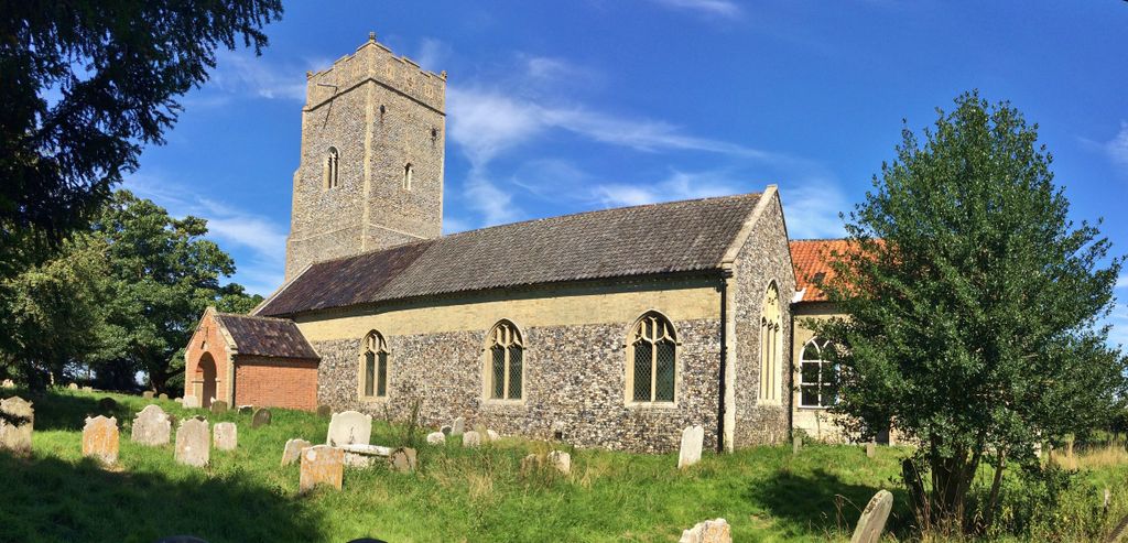
| Memorials | : | 0 |
| Location | : | Benacre, Waveney District, England |
| Coordinate | : | 52.4003900, 1.6907680 |
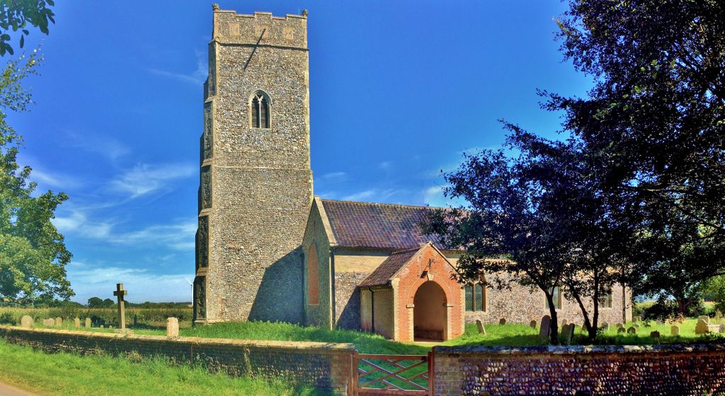
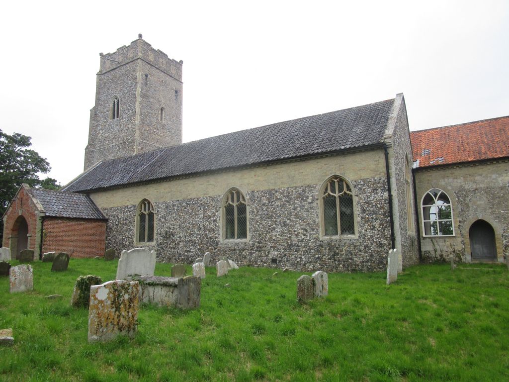
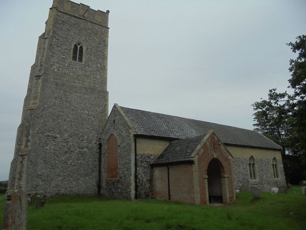
| Description | : | Benacre is a village and civil parish in the Waveney district of the English county of Suffolk. The village is located about 5.75 miles (9 km) south of Lowestoft and 1.5 miles (2 km) north-east of Wrentham, between the main A12 road and the North Sea coast. Neighbouring villages include Kessingland and Covehithe with the town of Southwold 5 miles (8 km) to the south. The village is dispersed around Benacre Hall, the estate of the Gooch family. It had a population of around 70 in mid-2008. The former parish church of St Michael is now privately owned by the Gooch... Read More |
frequently asked questions (FAQ):
-
Where is St. Michael's Churchyard?
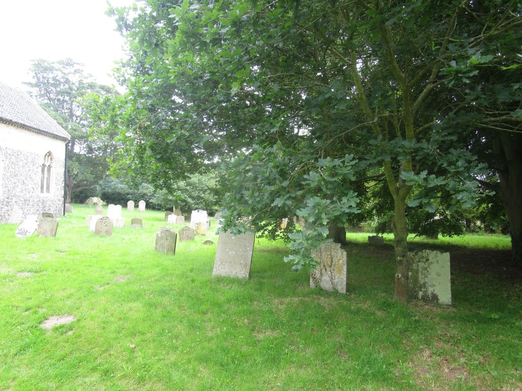
St. Michael's Churchyard is located at The Street Benacre, Waveney District ,Suffolk ,England.
-
St. Michael's Churchyard cemetery's updated grave count on graveviews.com?
0 memorials
-
Where are the coordinates of the St. Michael's Churchyard?
Latitude: 52.4003900
Longitude: 1.6907680
Nearby Cemetories:
1. Wrentham Municipal Cemetery
Wrentham, Waveney District, England
Coordinate: 52.4020520, 1.6676040
2. St Edmund Churchyard
Kessingland, Waveney District, England
Coordinate: 52.4158970, 1.7157750
3. Wrentham New Cemetery
Wrentham, Waveney District, England
Coordinate: 52.3894110, 1.6561480
4. St. Nicholas' Churchyard
Wrentham, Waveney District, England
Coordinate: 52.3885730, 1.6565260
5. St Mary Churchyard
Henstead, Waveney District, England
Coordinate: 52.4159800, 1.6577200
6. St. Andrew's Churchyard
Covehithe, Waveney District, England
Coordinate: 52.3761800, 1.7056300
7. St. Lawrence's Churchyard
South Cove, Waveney District, England
Coordinate: 52.3689060, 1.6708800
8. St. Michael's Churchyard
Rushmere, Waveney District, England
Coordinate: 52.4332200, 1.6688300
9. Holy Trinity Churchyard
Gisleham, Waveney District, England
Coordinate: 52.4372320, 1.6975344
10. All Saints Churchyard
Frostenden, Waveney District, England
Coordinate: 52.3767750, 1.6430333
11. St. Andrew's Churchyard
Mutford, Waveney District, England
Coordinate: 52.4387060, 1.6566540
12. Saint Margaret's Churchyard
Sotterley, Waveney District, England
Coordinate: 52.4098151, 1.6144616
13. St Peter's Churchyard
Carlton Colville, Waveney District, England
Coordinate: 52.4514530, 1.6929030
14. Memorial Chapel Cemetery
Sotterley, Waveney District, England
Coordinate: 52.4022499, 1.6070140
15. St Peter's New Churchyard
Carlton Colville, Waveney District, England
Coordinate: 52.4528500, 1.6953250
16. Waveney Memorial Park and Crematorium
Ellough, Waveney District, England
Coordinate: 52.4314090, 1.6151750
17. Saint John the Baptist Churchyard
Barnby, Waveney District, England
Coordinate: 52.4510410, 1.6494740
18. Southwold Cemetery
Southwold, Waveney District, England
Coordinate: 52.3457710, 1.6572730
19. St Margaret of Antioch Churchyard
Reydon, Waveney District, England
Coordinate: 52.3451350, 1.6556580
20. All Saints & St Margaret Churchyard
Pakefield, Waveney District, England
Coordinate: 52.4533520, 1.7344150
21. St Mary Churchyard
Uggeshall, Waveney District, England
Coordinate: 52.3665630, 1.6054470
22. St. Margaret's Churchyard
Stoven, Waveney District, England
Coordinate: 52.3777910, 1.5951750
23. St. Botolph Churchyard
North Cove, Waveney District, England
Coordinate: 52.4474411, 1.6227847
24. Ss Peter and Paul Churchyard
Wangford, Waveney District, England
Coordinate: 52.3546610, 1.6197460

