
| Memorials | : | 0 |
| Location | : | Little Witley, Malvern Hills District, England |
| Website | : | www.achurchnearyou.com/church/18811/ |
| Coordinate | : | 52.2693287, -2.3199365 |
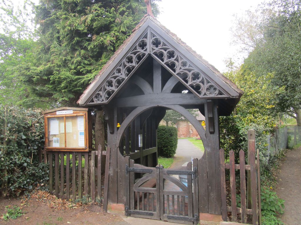
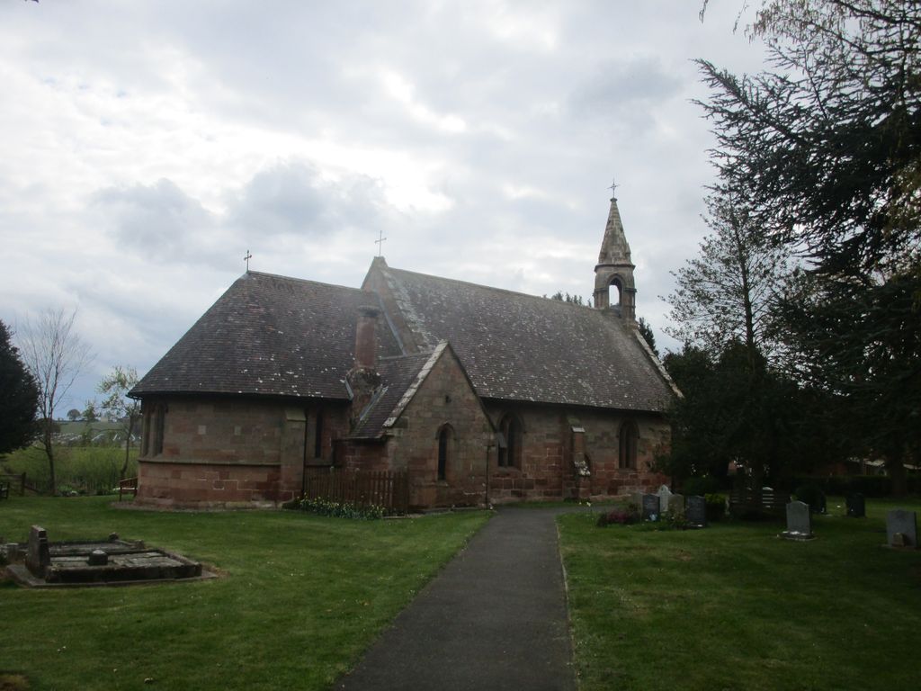
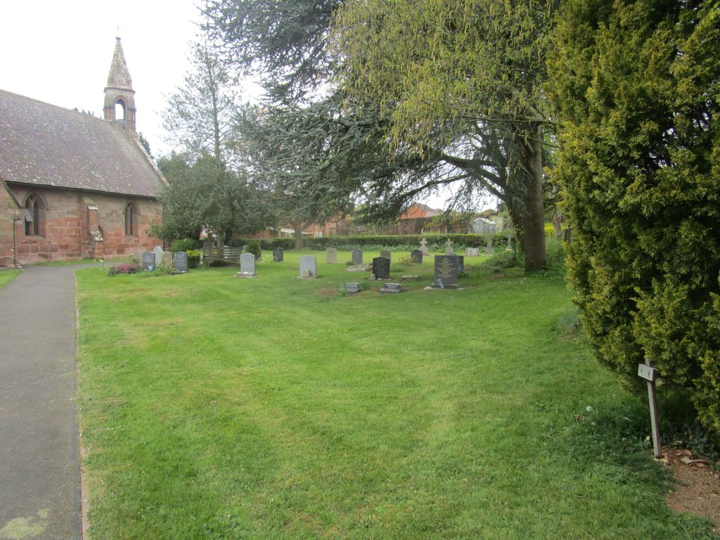
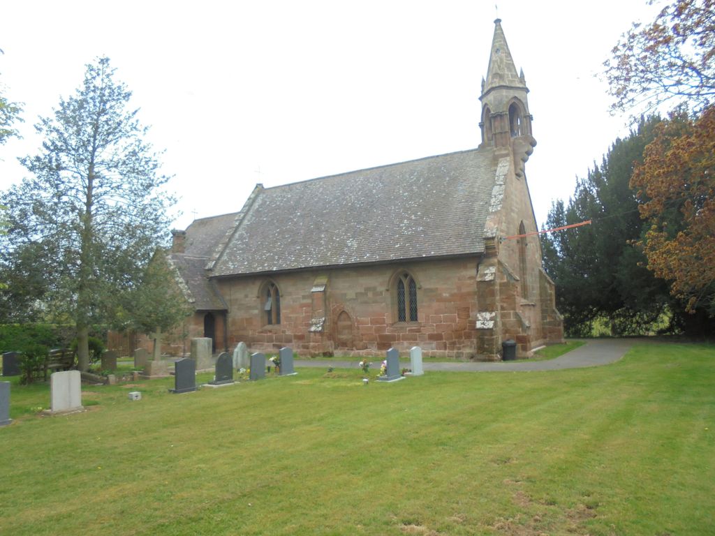
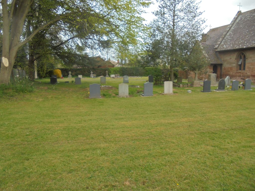
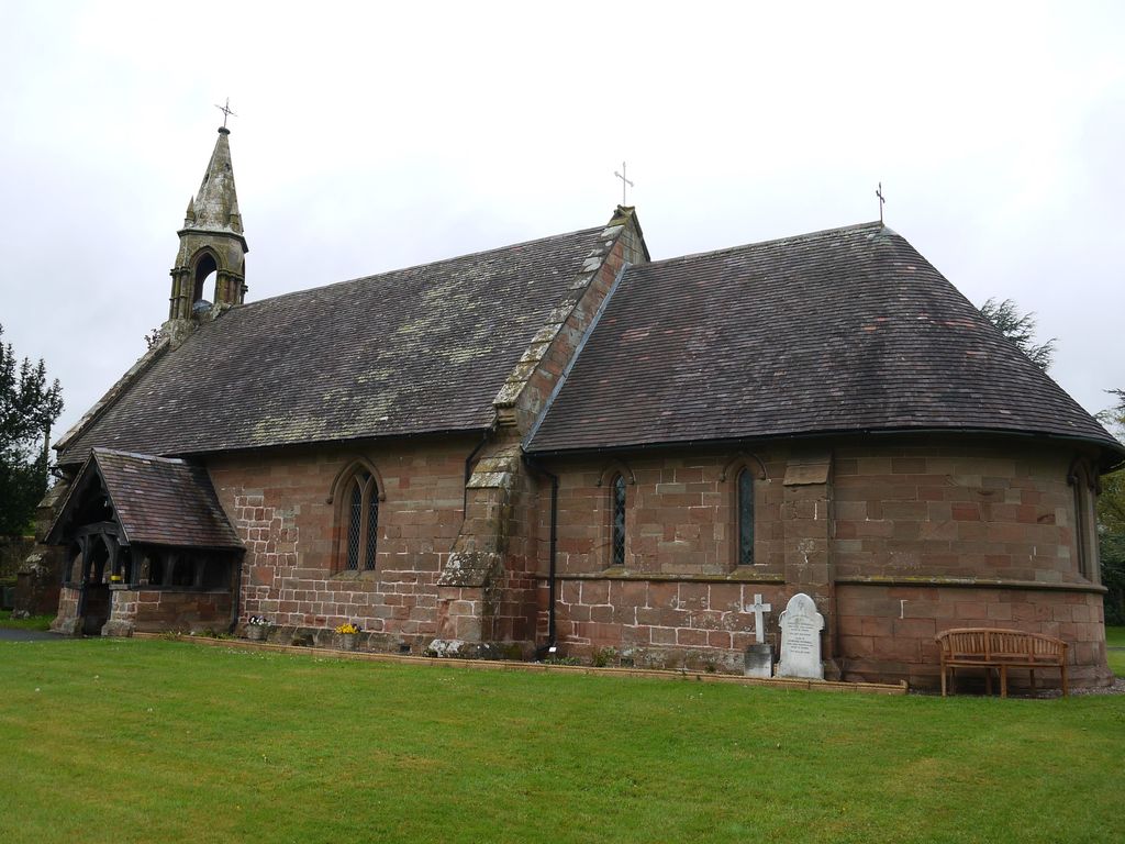
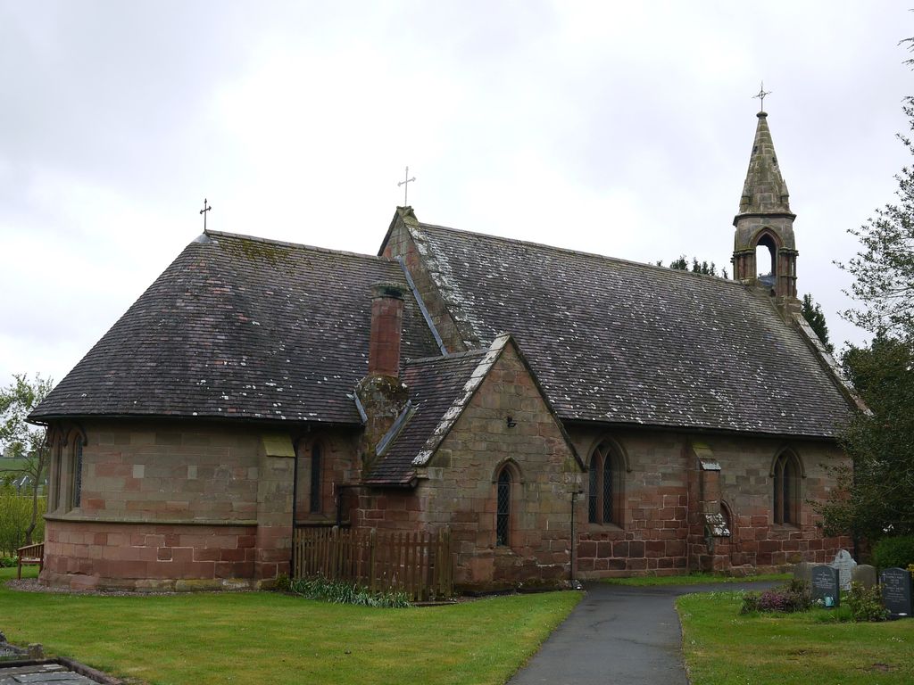
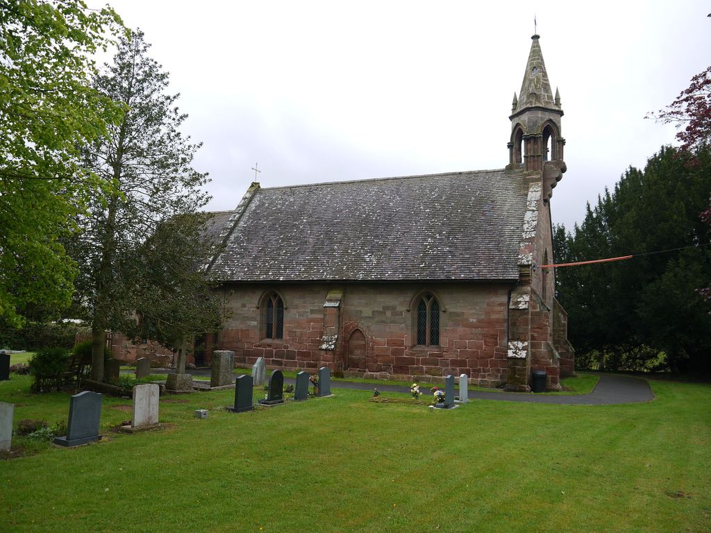
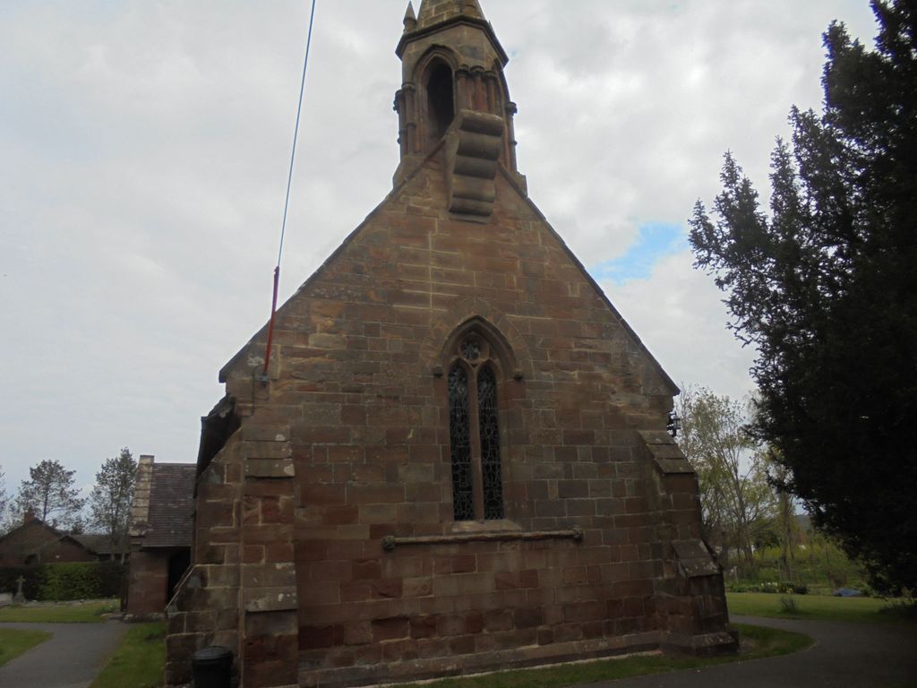
| Description | : | The history of Little Witley church is a little obscure. It was not a parish church at the time of the Norman conquest but a chapelry of St. Helens in Worcester. It apparently did not have a font or burial ground until 1375 when application was made to the mother church, as the parish church of Holt was 2 miles distant and the road, especially in winter, 'watery and muddy'. The church that stands today was rebuilt in 1867, although a blocked doorway in the north end of the nave is said to date from the early thirteenth century. Some of... Read More |
frequently asked questions (FAQ):
-
Where is St. Michael's Churchyard?
St. Michael's Churchyard is located at Church Lane Little Witley, Malvern Hills District ,Worcestershire , WR6 6LPEngland.
-
St. Michael's Churchyard cemetery's updated grave count on graveviews.com?
0 memorials
-
Where are the coordinates of the St. Michael's Churchyard?
Latitude: 52.2693287
Longitude: -2.3199365
Nearby Cemetories:
1. St. Michael and All Angels Churchyard
Great Witley, Malvern Hills District, England
Coordinate: 52.2824790, -2.3392580
2. St Mary Churchyard
Shrawley, Malvern Hills District, England
Coordinate: 52.2809100, -2.2857100
3. Great Witley Chapel Churchyard
Great Witley, Malvern Hills District, England
Coordinate: 52.2887620, -2.3547810
4. St. Laurence Churchyard
Wichenford, Wychavon District, England
Coordinate: 52.2392220, -2.3130060
5. Priory Church of St. Peter
Astley, Malvern Hills District, England
Coordinate: 52.3056488, -2.3145461
6. St Peter Churchyard
Astley, Malvern Hills District, England
Coordinate: 52.3061830, -2.3130400
7. St. Peter's Churchyard
Martley, Malvern Hills District, England
Coordinate: 52.2359520, -2.3582940
8. St. Martin's Churchyard
Holt, Malvern Hills District, England
Coordinate: 52.2609800, -2.2510900
9. All Saints Churchyard Extension
Shelsley Beauchamp, Malvern Hills District, England
Coordinate: 52.2634662, -2.3949512
10. All Saints Churchyard
Shelsley Beauchamp, Malvern Hills District, England
Coordinate: 52.2632200, -2.3953800
11. St. Michael's Churchyard
Abberley, Malvern Hills District, England
Coordinate: 52.3083500, -2.3628600
12. St. Mary's Churchyard
Abberley, Malvern Hills District, England
Coordinate: 52.3095380, -2.3656130
13. St Bartholomew Churchyard
Grimley, Malvern Hills District, England
Coordinate: 52.2440700, -2.2412420
14. St. Andrew's Churchyard
Shelsley Walsh, Malvern Hills District, England
Coordinate: 52.2641700, -2.4093500
15. St Andrews Churchyard
Ombersley, Wychavon District, England
Coordinate: 52.2699600, -2.2294600
16. St. Bartholomew Churchyard
Stourport-on-Severn, Wyre Forest District, England
Coordinate: 52.3259275, -2.2804157
17. Christ Church Churchyard
Lower Broadheath, Malvern Hills District, England
Coordinate: 52.2131500, -2.2786300
18. St Kenelms Churchyard
Clifton upon Teme, Malvern Hills District, England
Coordinate: 52.2519700, -2.4189900
19. St Philip and St James Churchyard
Hallow, Malvern Hills District, England
Coordinate: 52.2192900, -2.2524500
20. St. Mary's Churchyard
Crossway Green, Wychavon District, England
Coordinate: 52.3167100, -2.2368100
21. St Giles Churchyard
Heightington, Wyre Forest District, England
Coordinate: 52.3380600, -2.3425800
22. Saint James The Great Churchyard
Pensax, Malvern Hills District, England
Coordinate: 52.3181420, -2.4075720
23. St. Mary's Churchyard
Doverdale, Wychavon District, England
Coordinate: 52.2922300, -2.2064500
24. Elgar Birthplace Museum
Lower Broadheath, Malvern Hills District, England
Coordinate: 52.1989600, -2.2827000