
| Memorials | : | 0 |
| Location | : | Pensax, Malvern Hills District, England |
| Coordinate | : | 52.3181420, -2.4075720 |
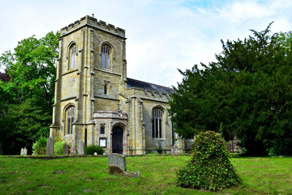
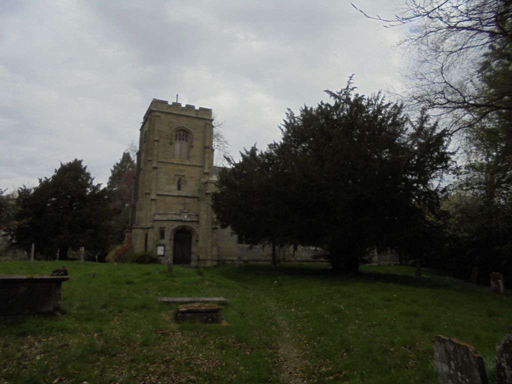
| Description | : | St James Church stands at the top of a small hill and is approached only by a footpath. Pensax was formerly a chapelry of Lindridge and only became a separate parish in 1844. The present church was built in 1832, replacing an earlier chapel, with the chancel and vestries being added on 1891. |
frequently asked questions (FAQ):
-
Where is Saint James The Great Churchyard?
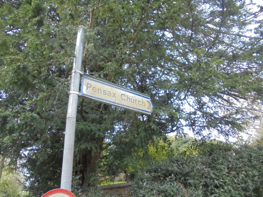
Saint James The Great Churchyard is located at Pensax Road Pensax, Malvern Hills District ,Worcestershire , WR6 6XJEngland.
-
Saint James The Great Churchyard cemetery's updated grave count on graveviews.com?
0 memorials
-
Where are the coordinates of the Saint James The Great Churchyard?
Latitude: 52.3181420
Longitude: -2.4075720
Nearby Cemetories:
1. St. Peter and St. Paul's Churchyard
Rock, Wyre Forest District, England
Coordinate: 52.3381020, -2.3955030
2. St. Mary's Churchyard
Abberley, Malvern Hills District, England
Coordinate: 52.3095380, -2.3656130
3. St. Michael's Churchyard
Abberley, Malvern Hills District, England
Coordinate: 52.3083500, -2.3628600
4. St. Mary's Churchyard
Stanford-on-Teme, Malvern Hills District, England
Coordinate: 52.2887100, -2.4379200
5. St John the Baptist Churchyard
Mamble, Malvern Hills District, England
Coordinate: 52.3416520, -2.4586520
6. St Lawrence Churchyard
Lindridge, Malvern Hills District, England
Coordinate: 52.3180700, -2.4779300
7. Great Witley Chapel Churchyard
Great Witley, Malvern Hills District, England
Coordinate: 52.2887620, -2.3547810
8. St Giles Churchyard
Heightington, Wyre Forest District, England
Coordinate: 52.3380600, -2.3425800
9. St Bartholomews Churchyard
Bayton, Malvern Hills District, England
Coordinate: 52.3562100, -2.4548200
10. St. Andrew's Churchyard
Shelsley Walsh, Malvern Hills District, England
Coordinate: 52.2641700, -2.4093500
11. Holy Trinity Churchyard
Kidderminster, Wyre Forest District, England
Coordinate: 52.3727940, -2.3999840
12. St. Michael and All Angels Churchyard
Great Witley, Malvern Hills District, England
Coordinate: 52.2824790, -2.3392580
13. Holy Trinity Churchyard
Far Forest, Wyre Forest District, England
Coordinate: 52.3730700, -2.4004200
14. All Saints Churchyard Extension
Shelsley Beauchamp, Malvern Hills District, England
Coordinate: 52.2634662, -2.3949512
15. All Saints Churchyard
Shelsley Beauchamp, Malvern Hills District, England
Coordinate: 52.2632200, -2.3953800
16. Priory Church of St. Peter
Astley, Malvern Hills District, England
Coordinate: 52.3056488, -2.3145461
17. St Peter Churchyard
Astley, Malvern Hills District, England
Coordinate: 52.3061830, -2.3130400
18. St Peter & St Paul Churchyard
Eastham, Malvern Hills District, England
Coordinate: 52.3156100, -2.5046000
19. St Kenelms Churchyard
Clifton upon Teme, Malvern Hills District, England
Coordinate: 52.2519700, -2.4189900
20. St. Michael's Churchyard
Little Witley, Malvern Hills District, England
Coordinate: 52.2693287, -2.3199365
21. St Leonard's Churchyard
Ribbesford, Wyre Forest District, England
Coordinate: 52.3640200, -2.3147800
22. St Mary the Virgin
Cleobury Mortimer, Shropshire Unitary Authority, England
Coordinate: 52.3792280, -2.4803610
23. St Bartholomew's Church
Lower Sapey, Malvern Hills District, England
Coordinate: 52.2484400, -2.4599300
24. St. Bartholomew Churchyard
Stourport-on-Severn, Wyre Forest District, England
Coordinate: 52.3259275, -2.2804157