
| Memorials | : | 0 |
| Location | : | Astley, Malvern Hills District, England |
| Coordinate | : | 52.3061830, -2.3130400 |
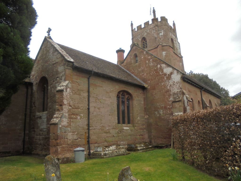
| Description | : | Astley is a village, and a civil parish (with Dunley) in Worcestershire, England, about seven miles south-west of Kidderminster. A range of English white wines including sparkling wines have been produced in Astley since 1983. The wines have won over 100 awards, and are now Quality Wine status, three of which have received International Wine and Spirit Competition (IWSC) awards. There is evidence in the village of Norman heritage. The house Astley Towne has a Norman cellar. There was formerly an estate at Glasshampton with the seat of the Winford family. The house no longer exists but the stables accommodate an... Read More |
frequently asked questions (FAQ):
-
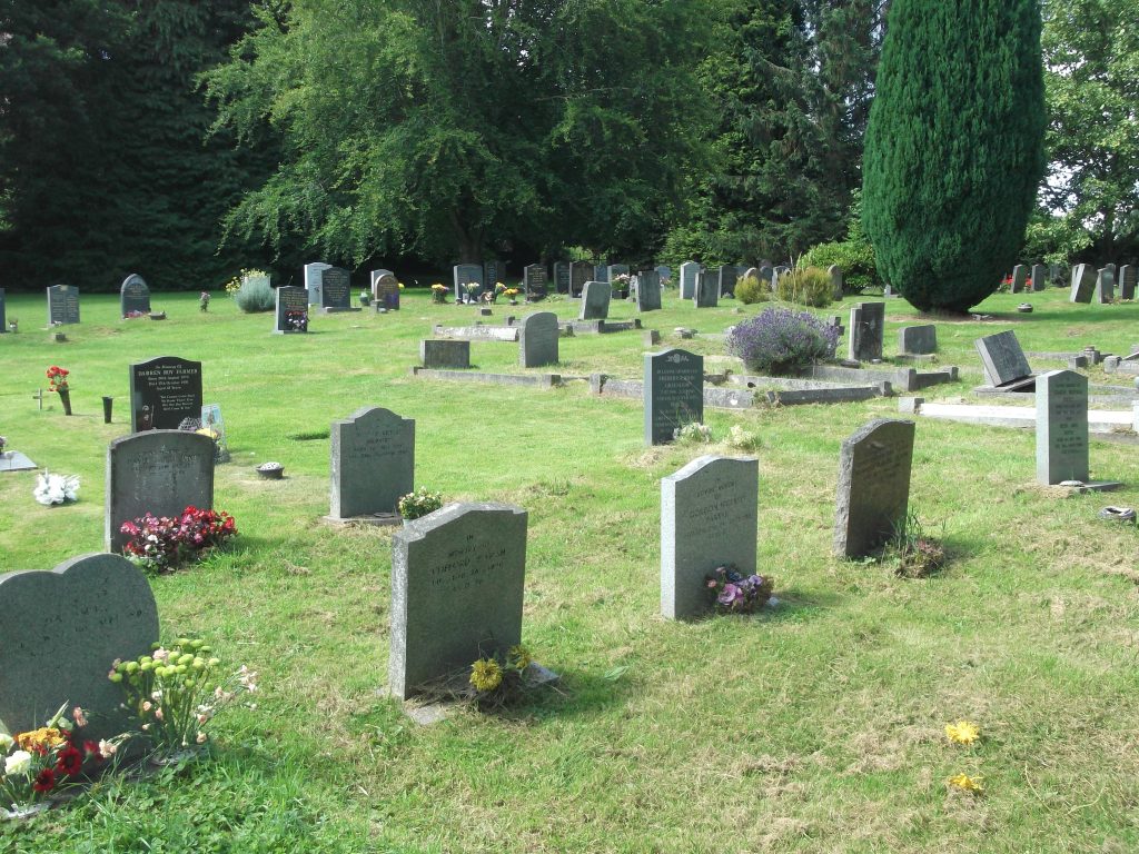
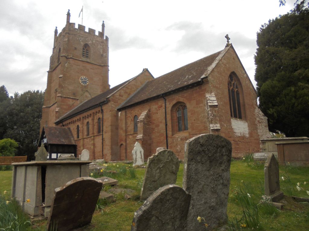
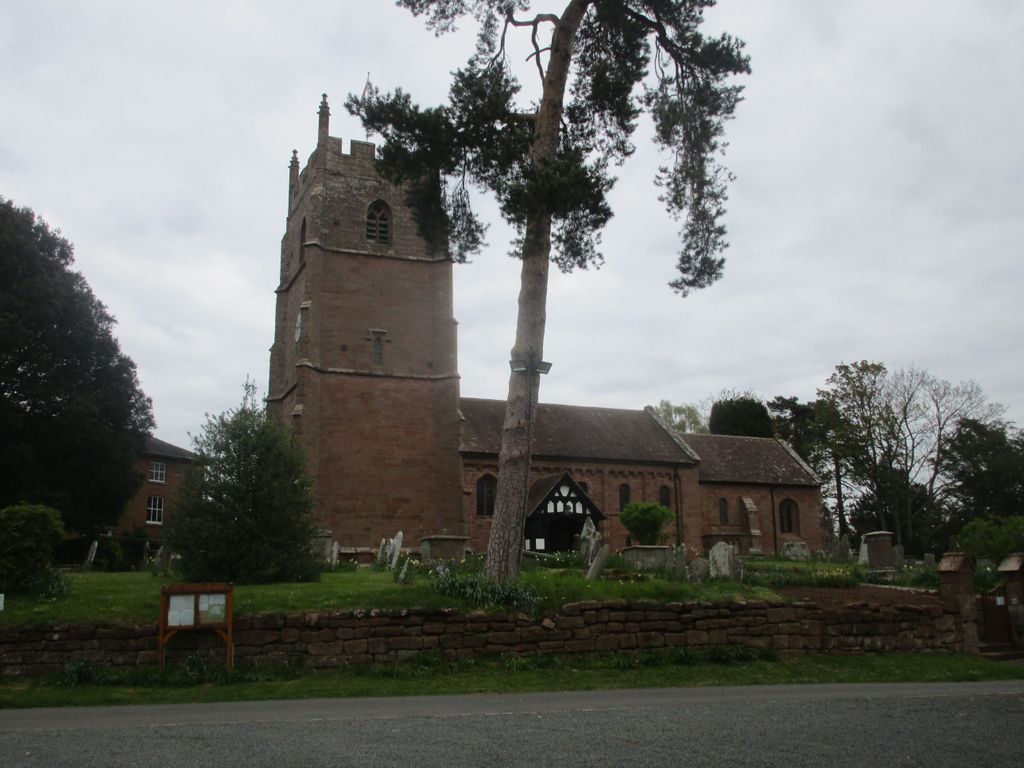
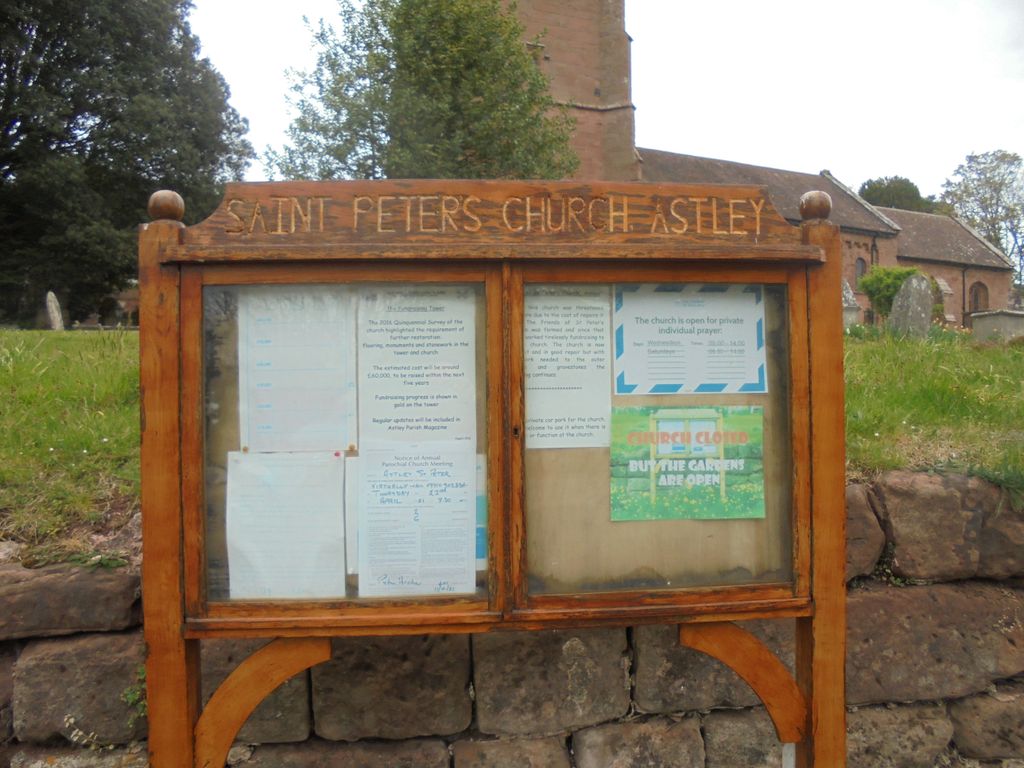
Where is St Peter Churchyard?
St Peter Churchyard is located at School Lane Astley, Malvern Hills District ,Worcestershire , CV10 7QNEngland.
-
St Peter Churchyard cemetery's updated grave count on graveviews.com?
0 memorials
-
Where are the coordinates of the St Peter Churchyard?
Latitude: 52.3061830
Longitude: -2.3130400


Nearby Cemetories:
1. Priory Church of St. Peter
Astley, Malvern Hills District, England
Coordinate: 52.3056488, -2.3145461
2. St. Bartholomew Churchyard
Stourport-on-Severn, Wyre Forest District, England
Coordinate: 52.3259275, -2.2804157
3. St. Michael and All Angels Churchyard
Great Witley, Malvern Hills District, England
Coordinate: 52.2824790, -2.3392580
4. St Mary Churchyard
Shrawley, Malvern Hills District, England
Coordinate: 52.2809100, -2.2857100
5. St. Michael's Churchyard
Abberley, Malvern Hills District, England
Coordinate: 52.3083500, -2.3628600
6. Great Witley Chapel Churchyard
Great Witley, Malvern Hills District, England
Coordinate: 52.2887620, -2.3547810
7. St. Mary's Churchyard
Abberley, Malvern Hills District, England
Coordinate: 52.3095380, -2.3656130
8. St Giles Churchyard
Heightington, Wyre Forest District, England
Coordinate: 52.3380600, -2.3425800
9. St. Michael's Churchyard
Little Witley, Malvern Hills District, England
Coordinate: 52.2693287, -2.3199365
10. St. Michael and All Angels Churchyard
Stourport-on-Severn, Wyre Forest District, England
Coordinate: 52.3439740, -2.2739450
11. St. Mary's Churchyard
Crossway Green, Wychavon District, England
Coordinate: 52.3167100, -2.2368100
12. All Saints Churchyard
Wilden, Wyre Forest District, England
Coordinate: 52.3475930, -2.2596890
13. St James Churchyard
Hartlebury, Wychavon District, England
Coordinate: 52.3358770, -2.2353530
14. St Leonard's Churchyard
Ribbesford, Wyre Forest District, England
Coordinate: 52.3640200, -2.3147800
15. Wyre Forest Crematorium & Cemetery
Stourport-on-Severn, Wyre Forest District, England
Coordinate: 52.3575720, -2.2680900
16. St. Martin's Churchyard
Holt, Malvern Hills District, England
Coordinate: 52.2609800, -2.2510900
17. Saint James The Great Churchyard
Pensax, Malvern Hills District, England
Coordinate: 52.3181420, -2.4075720
18. St. Peter and St. Paul's Churchyard
Rock, Wyre Forest District, England
Coordinate: 52.3381020, -2.3955030
19. St Andrews Churchyard
Ombersley, Wychavon District, England
Coordinate: 52.2699600, -2.2294600
20. All Saints Churchyard Extension
Shelsley Beauchamp, Malvern Hills District, England
Coordinate: 52.2634662, -2.3949512
21. All Saints Churchyard
Shelsley Beauchamp, Malvern Hills District, England
Coordinate: 52.2632200, -2.3953800
22. St. Mary's Churchyard
Doverdale, Wychavon District, England
Coordinate: 52.2922300, -2.2064500
23. St. Laurence Churchyard
Wichenford, Wychavon District, England
Coordinate: 52.2392220, -2.3130060
24. St. Michael's Churchyard
Elmley Lovett, Wychavon District, England
Coordinate: 52.3192835, -2.2031819