
| Memorials | : | 780 |
| Location | : | Much Hoole, South Ribble Borough, England |
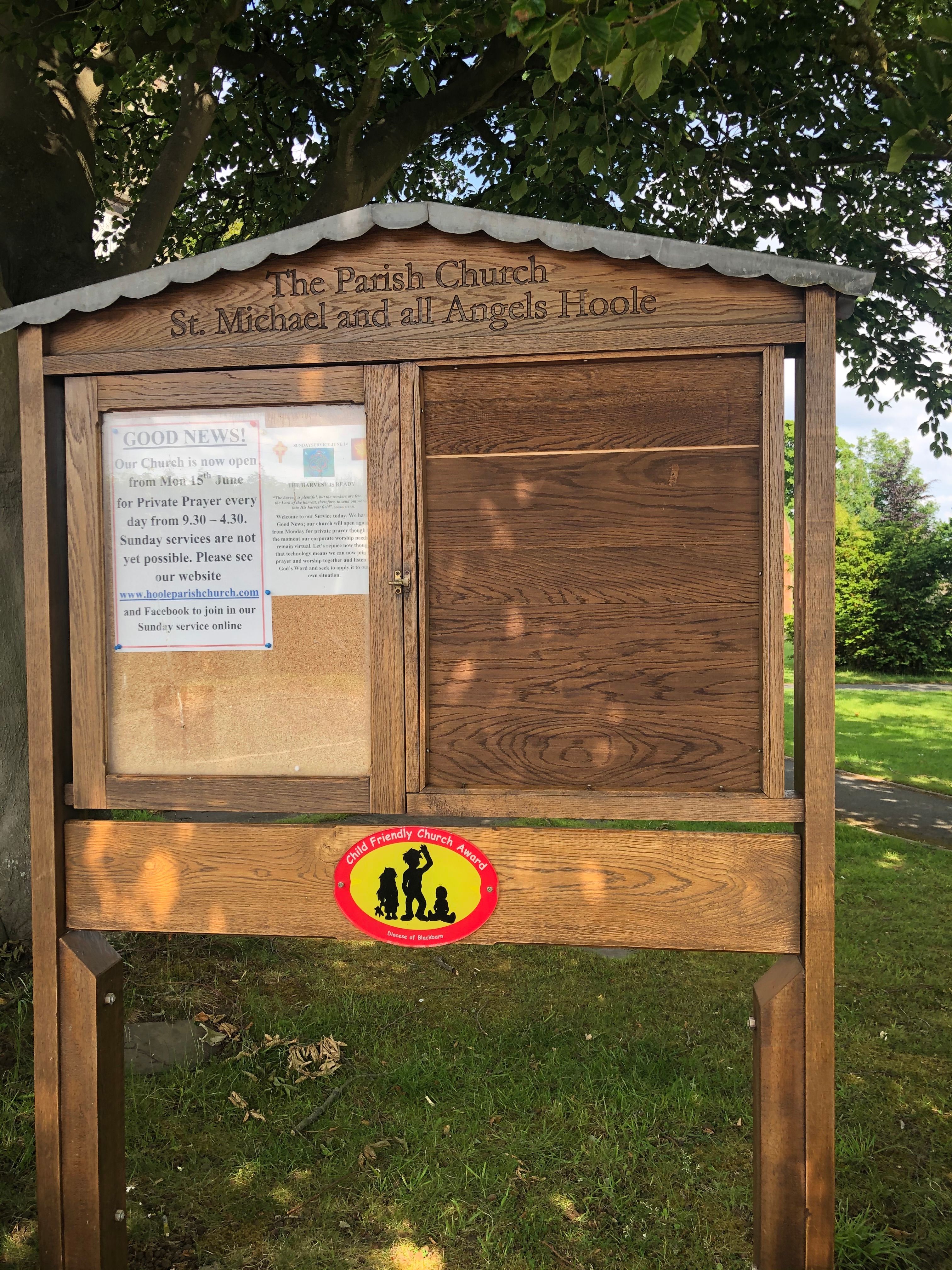
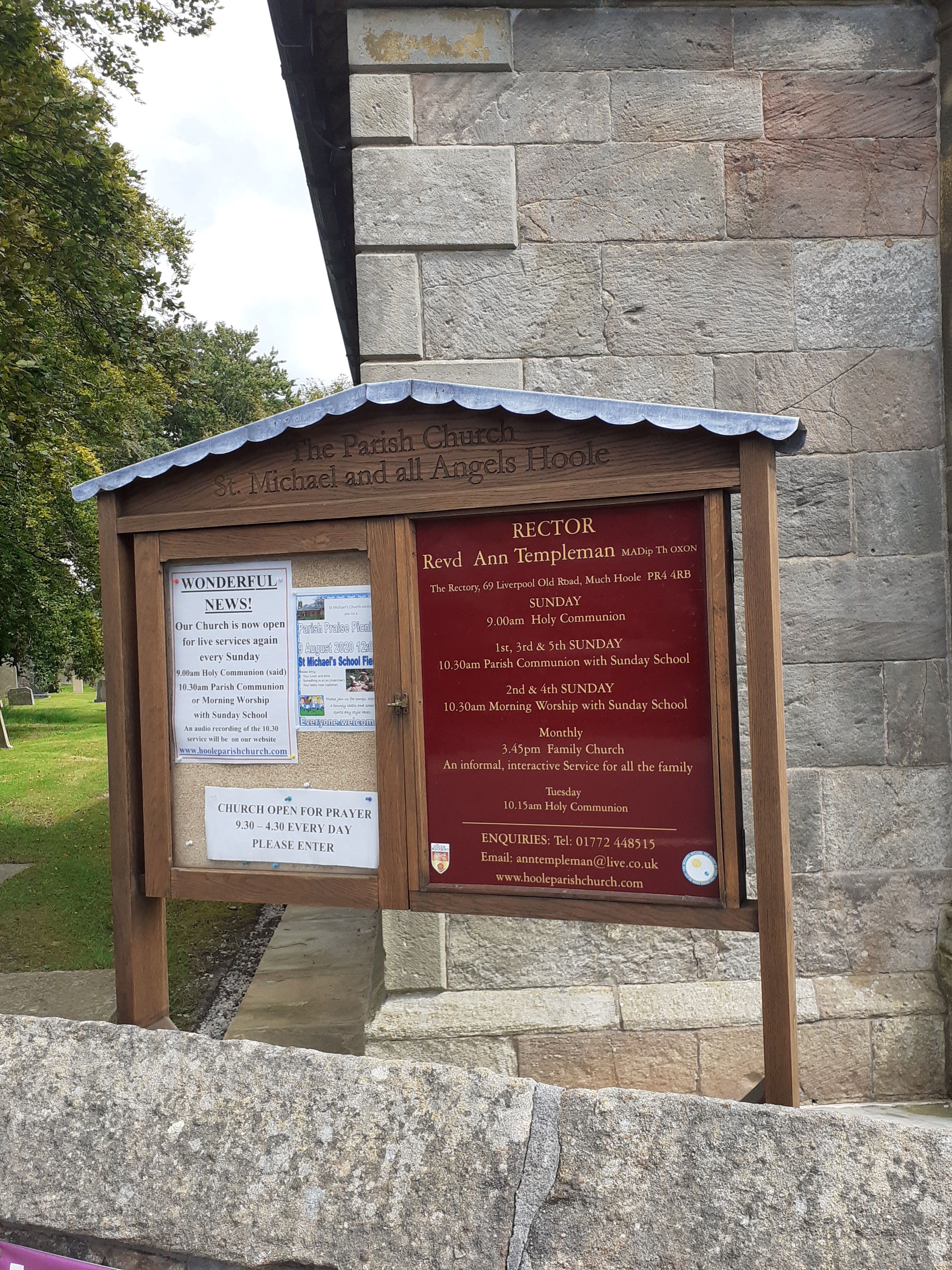
| Phone | : | +44 (0)1772 448515 |
| Website | : | www.hooleparishchurch.com |
| Coordinate | : | 53.6942950, -2.8143830 |
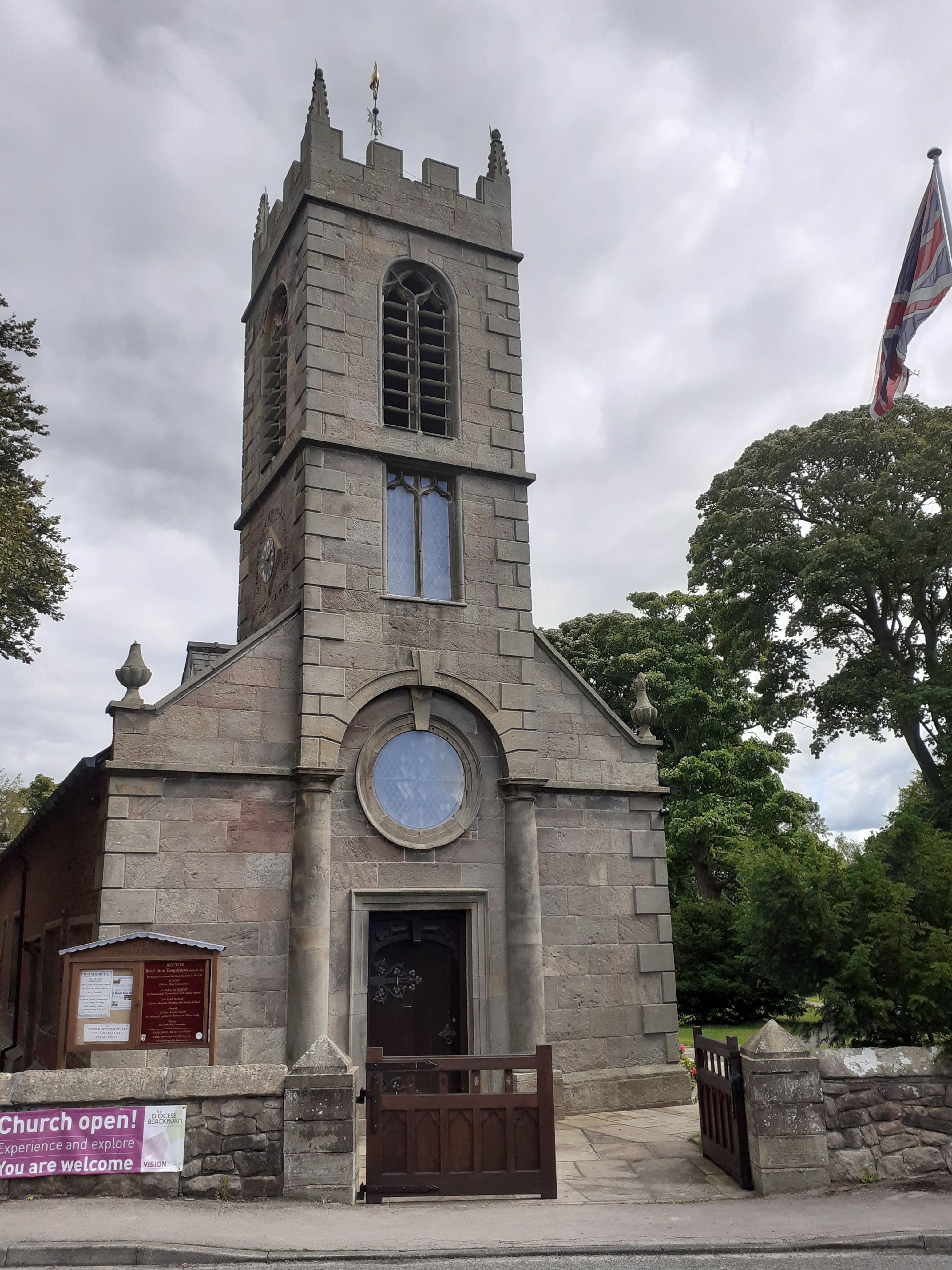
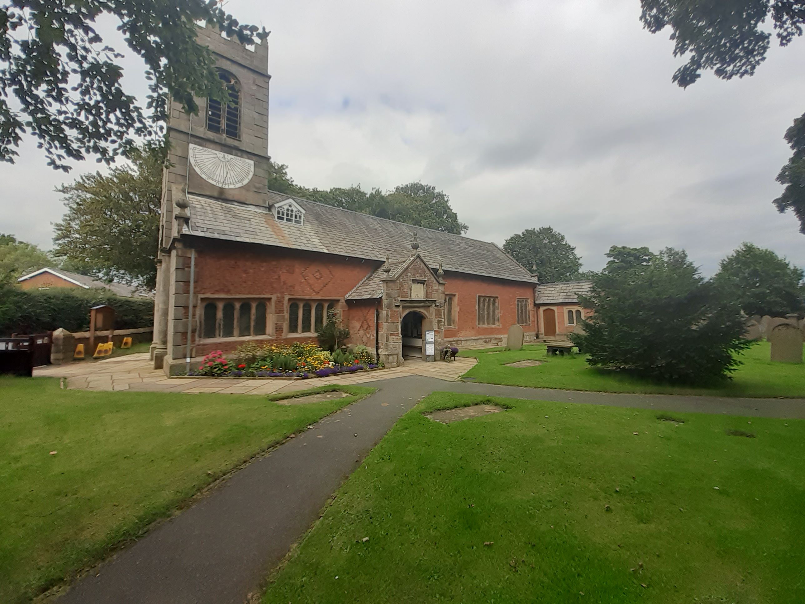
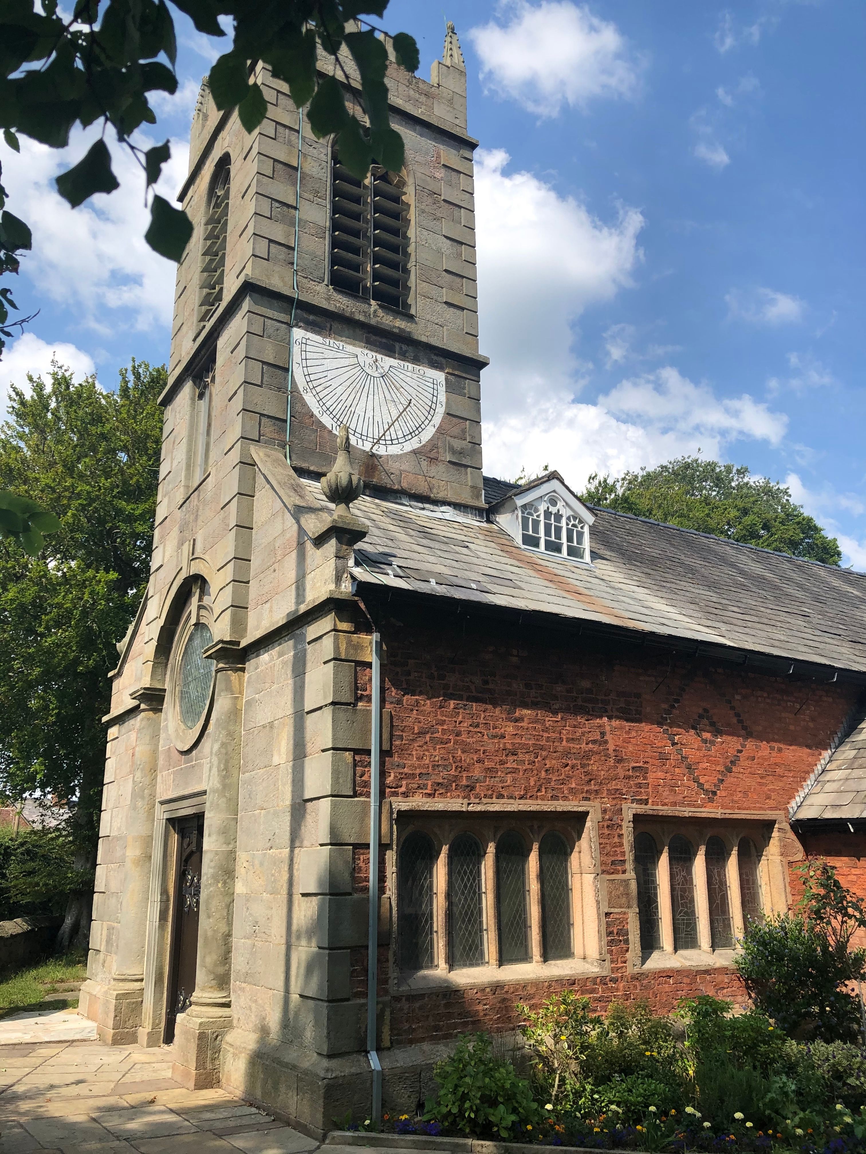
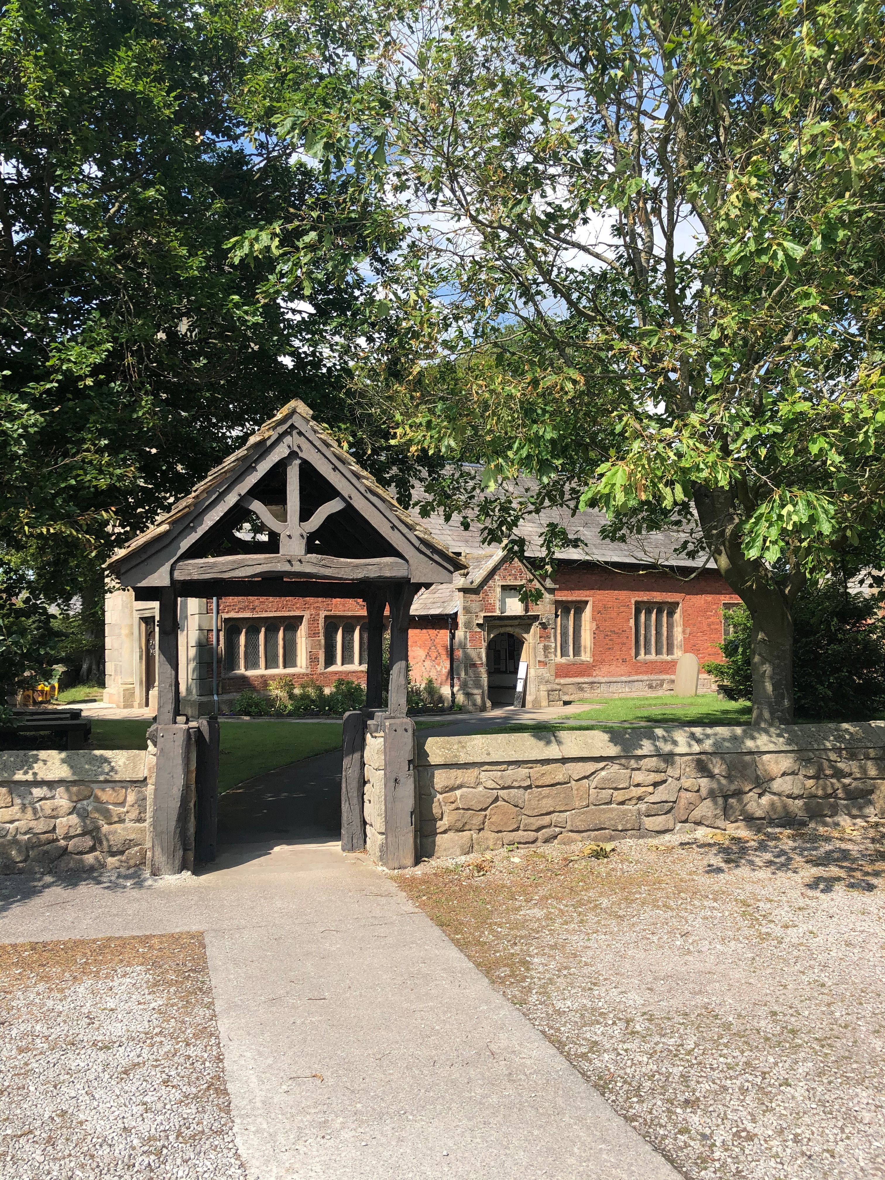
| Description | : | The nave was built in 1628 and the pulpit erected in 1695, is a rare example of a two decker oak pulpit. Part of the re-building of the chapel included a chancel in 1824 and a chapel in 1858 to remember the work of Jeremiah Horrocks, who was the first person to observe a Transit of Venus in 1639 from nearby Carr House. |
frequently asked questions (FAQ):
-
Where is St. Michael and All Angel Churchyard?
St. Michael and All Angel Churchyard is located at Liverpool Old Road Much Hoole, South Ribble Borough ,Lancashire , PR4 5JQEngland.
-
St. Michael and All Angel Churchyard cemetery's updated grave count on graveviews.com?
774 memorials
-
Where are the coordinates of the St. Michael and All Angel Churchyard?
Latitude: 53.6942950
Longitude: -2.8143830
Nearby Cemetories:
1. Woodland Burial Ground
Much Hoole, South Ribble Borough, England
Coordinate: 53.6986390, -2.7974440
2. Becconsall Old Church Churchyard
Hesketh with Becconsall, West Lancashire District, England
Coordinate: 53.7023610, -2.8314810
3. Much Hoole Methodist Burial Ground
Much Hoole, South Ribble Borough, England
Coordinate: 53.7053750, -2.7951470
4. All Saints Churchyard
Hesketh with Becconsall, West Lancashire District, England
Coordinate: 53.7028189, -2.8400142
5. Congregational Church
Bretherton, Chorley Borough, England
Coordinate: 53.6780260, -2.7986920
6. St. John the Baptist Churchyard
Bretherton, Chorley Borough, England
Coordinate: 53.6776300, -2.7952200
7. St. Mary's Churchyard
Tarleton, West Lancashire District, England
Coordinate: 53.6746100, -2.8239200
8. St. Andrew's Churchyard
Longton, South Ribble Borough, England
Coordinate: 53.7263889, -2.7822222
9. Croston Cemetery
Croston, Chorley Borough, England
Coordinate: 53.6586700, -2.7733100
10. Saint James Churchyard
Leyland, South Ribble Borough, England
Coordinate: 53.6896630, -2.7327430
11. St. Mary the Virgin Churchyard
Rufford, West Lancashire District, England
Coordinate: 53.6349960, -2.8126410
12. St Mary the Virgin Churchyard
Eccleston, Chorley Borough, England
Coordinate: 53.6528800, -2.7331920
13. St. Stephen's Churchyard
North Meols, West Lancashire District, England
Coordinate: 53.6813720, -2.9248140
14. Holy Trinity Churchyard
Freckleton, Fylde Borough, England
Coordinate: 53.7543090, -2.8669130
15. St Mary's Roman Catholic Churchyard
Leyland, South Ribble Borough, England
Coordinate: 53.6880510, -2.6983240
16. Saint Andrews Churchyard
Leyland, South Ribble Borough, England
Coordinate: 53.6881270, -2.6957880
17. St Paul Churchyard
Farington, South Ribble Borough, England
Coordinate: 53.7199900, -2.7017200
18. Parish Church of St. Paul
Warton, Fylde Borough, England
Coordinate: 53.7502621, -2.8932641
19. St. Peter's Churchyard
Mawdesley, Chorley Borough, England
Coordinate: 53.6237600, -2.7734100
20. Penwortham Cemetery
Penwortham, South Ribble Borough, England
Coordinate: 53.7452590, -2.7209190
21. Quakers Wood Burial Ground
Freckleton, Fylde Borough, England
Coordinate: 53.7652227, -2.8601674
22. St. Peter and St. Paul Churchyard
Mawdesley, Chorley Borough, England
Coordinate: 53.6266580, -2.7451420
23. Our Lady and Saint Gerards Churchyard
Lostock Hall, South Ribble Borough, England
Coordinate: 53.7279090, -2.6921460
24. St. Mary's Churchyard
Lea, City of Preston, England
Coordinate: 53.7733810, -2.7942770