
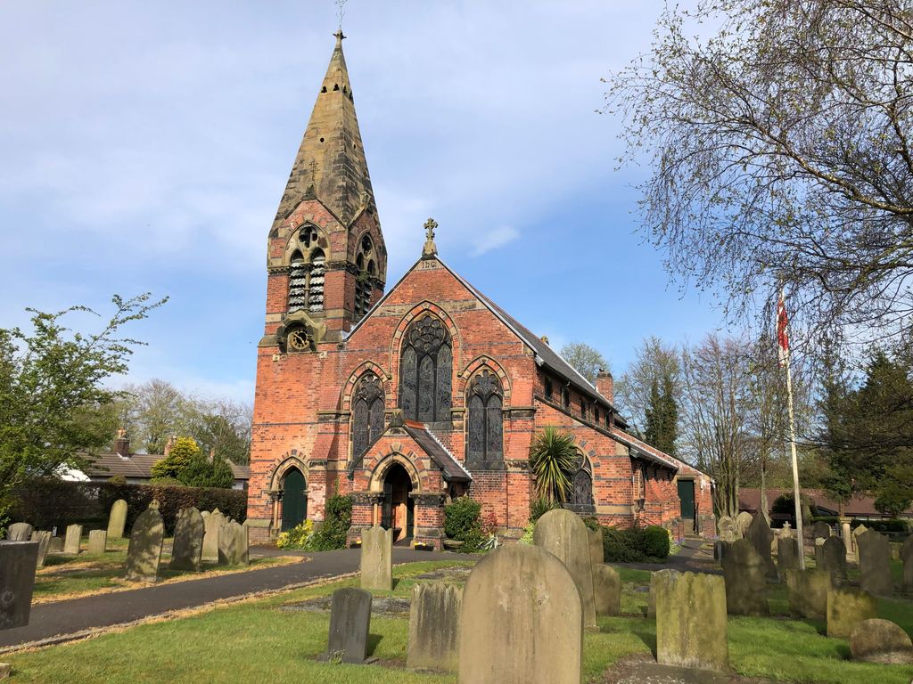
| Memorials | : | 434 |
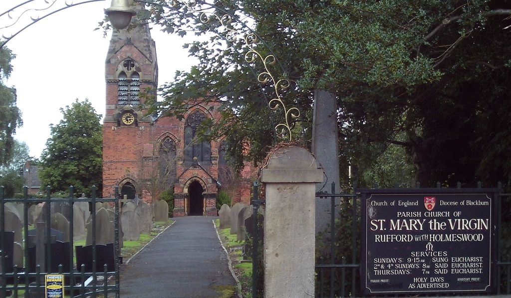
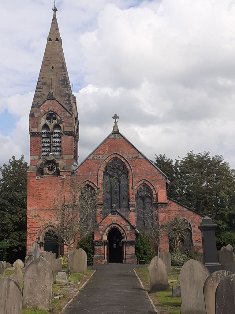
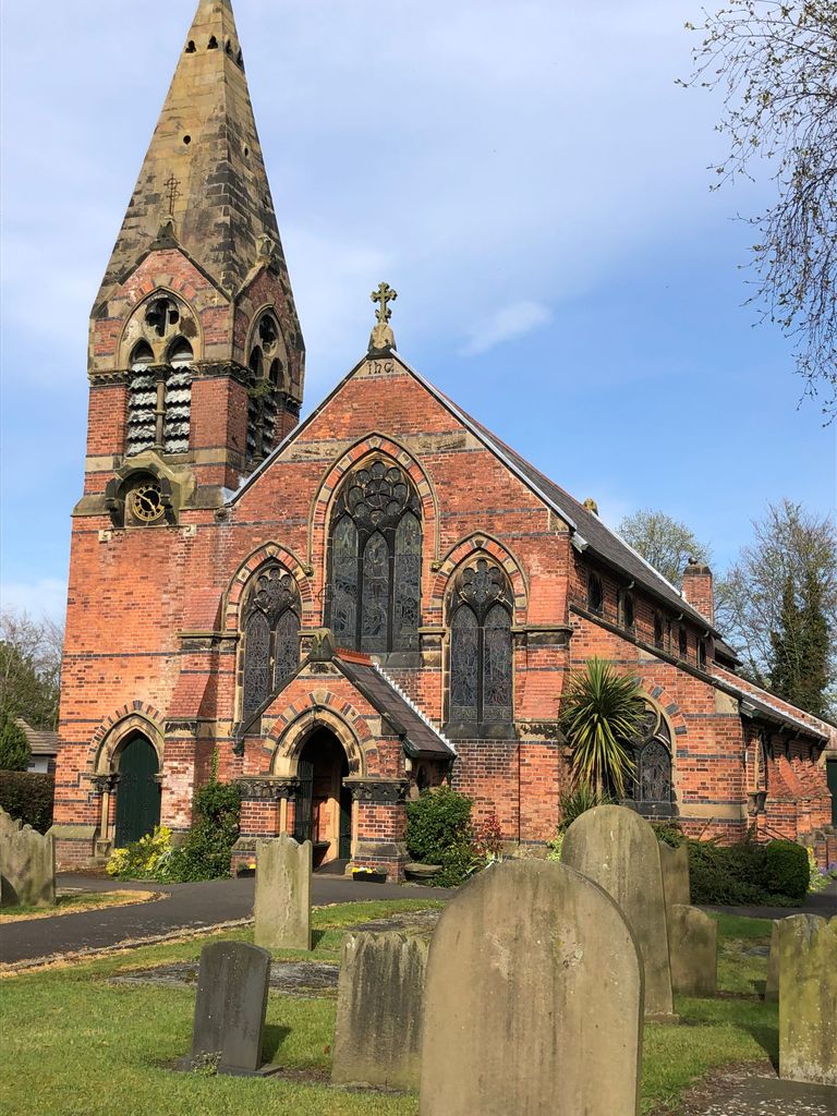
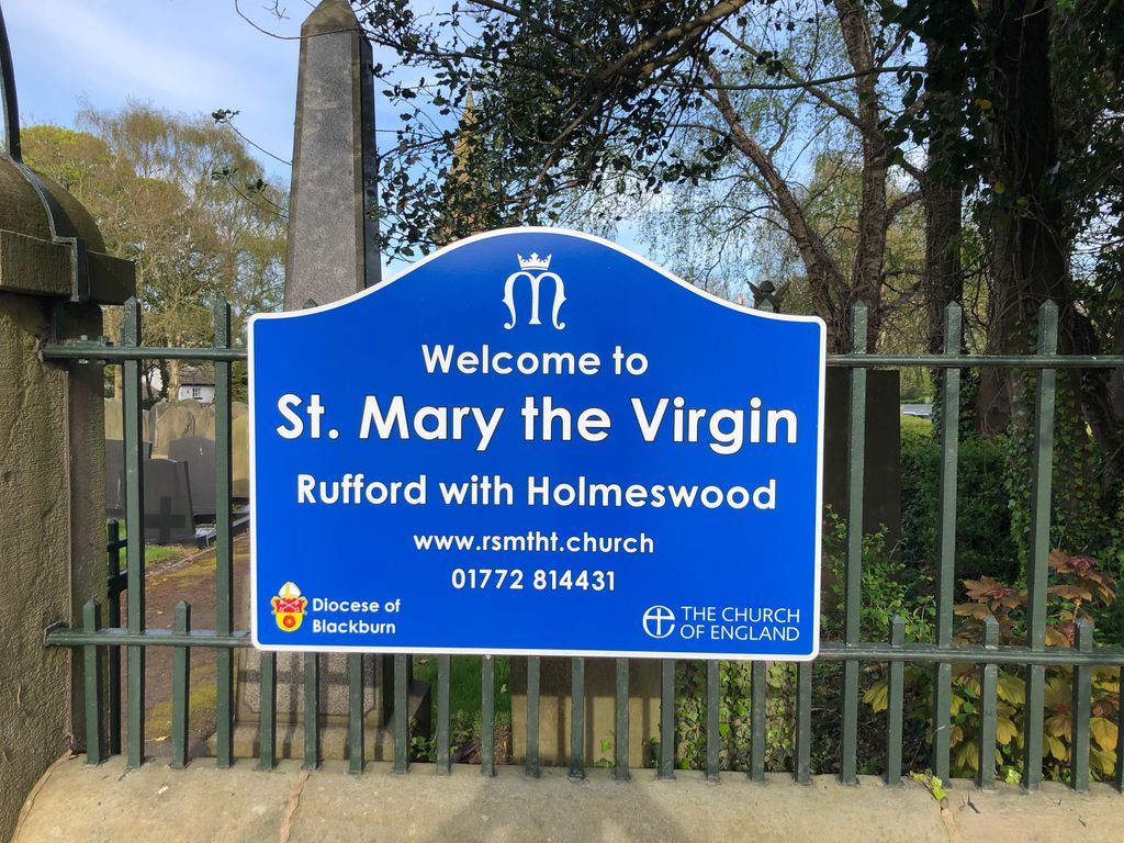
| Location | : | Rufford, West Lancashire District, England |
| Coordinate | : | 53.6349960, -2.8126410 |
frequently asked questions (FAQ):
-
Where is St. Mary the Virgin Churchyard?
St. Mary the Virgin Churchyard is located at Rufford, West Lancashire District ,Lancashire ,England.
-
St. Mary the Virgin Churchyard cemetery's updated grave count on graveviews.com?
434 memorials
-
Where are the coordinates of the St. Mary the Virgin Churchyard?
Latitude: 53.6349960
Longitude: -2.8126410
Nearby Cemetories:
1. St. Peter's Churchyard
Mawdesley, Chorley Borough, England
Coordinate: 53.6237600, -2.7734100
2. Croston Cemetery
Croston, Chorley Borough, England
Coordinate: 53.6586700, -2.7733100
3. St John the Baptist Churchyard
Burscough, West Lancashire District, England
Coordinate: 53.6042760, -2.8401390
4. St. Mary's Churchyard
Tarleton, West Lancashire District, England
Coordinate: 53.6746100, -2.8239200
5. St. Peter and St. Paul Churchyard
Mawdesley, Chorley Borough, England
Coordinate: 53.6266580, -2.7451420
6. Congregational Church
Bretherton, Chorley Borough, England
Coordinate: 53.6780260, -2.7986920
7. St. John the Baptist Churchyard
Bretherton, Chorley Borough, England
Coordinate: 53.6776300, -2.7952200
8. St John The Evangelist Roman Catholic Church
Burscough, West Lancashire District, England
Coordinate: 53.5902152, -2.8424163
9. Christchurch Churchyard
Newburgh, West Lancashire District, England
Coordinate: 53.5876845, -2.7842440
10. St Mary the Virgin Churchyard
Eccleston, Chorley Borough, England
Coordinate: 53.6528800, -2.7331920
11. Our Lady and All Saints Roman Catholic
Parbold, West Lancashire District, England
Coordinate: 53.5911900, -2.7644350
12. Christ Church Churchyard
Parbold, West Lancashire District, England
Coordinate: 53.5908500, -2.7531900
13. Lathom Park Chapel
Lathom, West Lancashire District, England
Coordinate: 53.5782510, -2.8216720
14. Burscough Priory
Burscough, West Lancashire District, England
Coordinate: 53.5830270, -2.8565030
15. St. James the Great Churchyard
Wrightington, West Lancashire District, England
Coordinate: 53.6168220, -2.7175670
16. St. Michael and All Angel Churchyard
Much Hoole, South Ribble Borough, England
Coordinate: 53.6942950, -2.8143830
17. West Lancashire Cemetery and Crematorium
Burscough, West Lancashire District, England
Coordinate: 53.5875500, -2.8820300
18. Woodland Burial Ground
Much Hoole, South Ribble Borough, England
Coordinate: 53.6986390, -2.7974440
19. St. Elizabeth's Churchyard
Scarisbrick, West Lancashire District, England
Coordinate: 53.6124460, -2.9206340
20. Becconsall Old Church Churchyard
Hesketh with Becconsall, West Lancashire District, England
Coordinate: 53.7023610, -2.8314810
21. All Saints Churchyard
Hesketh with Becconsall, West Lancashire District, England
Coordinate: 53.7028189, -2.8400142
22. Much Hoole Methodist Burial Ground
Much Hoole, South Ribble Borough, England
Coordinate: 53.7053750, -2.7951470
23. Saint James Churchyard
Leyland, South Ribble Borough, England
Coordinate: 53.6896630, -2.7327430
24. St. Michael's Churchyard
Dalton, West Lancashire District, England
Coordinate: 53.5670360, -2.7640390