
| Memorials | : | 0 |
| Location | : | Leyland, South Ribble Borough, England |
| Coordinate | : | 53.6896630, -2.7327430 |
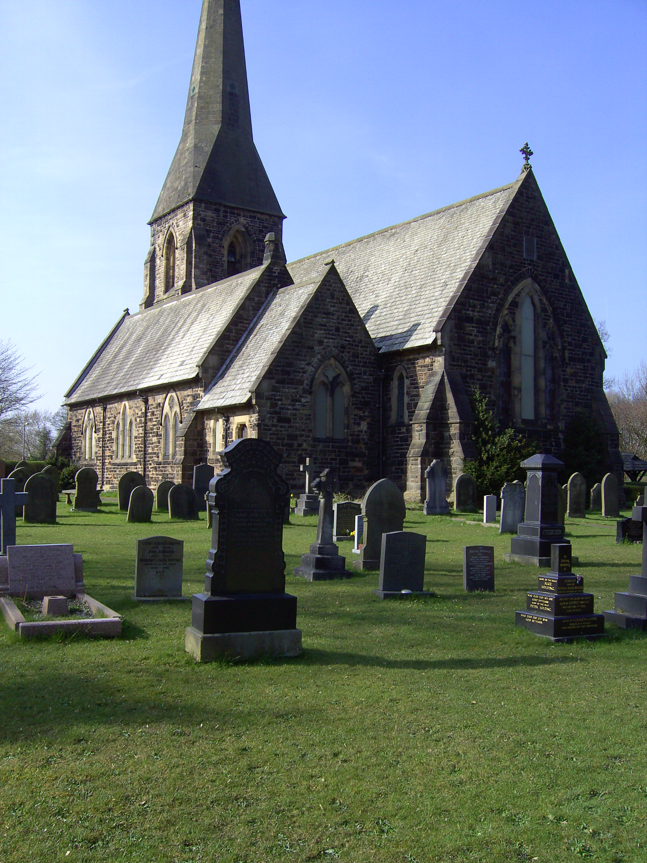
| Description | : | Slater Lane. The church is located at OS grid reference SD5170021710 (Lat/Lon 53.689591,-2.732897) |
frequently asked questions (FAQ):
-
Where is Saint James Churchyard?
Saint James Churchyard is located at Leyland, South Ribble Borough ,Lancashire ,England.
-
Saint James Churchyard cemetery's updated grave count on graveviews.com?
0 memorials
-
Where are the coordinates of the Saint James Churchyard?
Latitude: 53.6896630
Longitude: -2.7327430
Nearby Cemetories:
1. St Mary's Roman Catholic Churchyard
Leyland, South Ribble Borough, England
Coordinate: 53.6880510, -2.6983240
2. Saint Andrews Churchyard
Leyland, South Ribble Borough, England
Coordinate: 53.6881270, -2.6957880
3. St Paul Churchyard
Farington, South Ribble Borough, England
Coordinate: 53.7199900, -2.7017200
4. St Mary the Virgin Churchyard
Eccleston, Chorley Borough, England
Coordinate: 53.6528800, -2.7331920
5. St. John the Baptist Churchyard
Bretherton, Chorley Borough, England
Coordinate: 53.6776300, -2.7952200
6. Croston Cemetery
Croston, Chorley Borough, England
Coordinate: 53.6586700, -2.7733100
7. Woodland Burial Ground
Much Hoole, South Ribble Borough, England
Coordinate: 53.6986390, -2.7974440
8. Much Hoole Methodist Burial Ground
Much Hoole, South Ribble Borough, England
Coordinate: 53.7053750, -2.7951470
9. St. Mary's Churchyard
Euxton, Chorley Borough, England
Coordinate: 53.6669580, -2.6768350
10. Congregational Church
Bretherton, Chorley Borough, England
Coordinate: 53.6780260, -2.7986920
11. Euxton Parish Churchyard
Euxton, Chorley Borough, England
Coordinate: 53.6650950, -2.6743630
12. Our Lady and Saint Gerards Churchyard
Lostock Hall, South Ribble Borough, England
Coordinate: 53.7279090, -2.6921460
13. St. Andrew's Churchyard
Longton, South Ribble Borough, England
Coordinate: 53.7263889, -2.7822222
14. St. Michael and All Angel Churchyard
Much Hoole, South Ribble Borough, England
Coordinate: 53.6942950, -2.8143830
15. Charnock Richard Crematorium
Chorley, Chorley Borough, England
Coordinate: 53.6518550, -2.6763080
16. St. Saviour's Churchyard
Bamber Bridge, South Ribble Borough, England
Coordinate: 53.7197301, -2.6598985
17. St John the Evangelist Churchyard
Whittle-le-Woods, Chorley Borough, England
Coordinate: 53.6883280, -2.6400320
18. Penwortham Cemetery
Penwortham, South Ribble Borough, England
Coordinate: 53.7452590, -2.7209190
19. St. Mary's Churchyard
Tarleton, West Lancashire District, England
Coordinate: 53.6746100, -2.8239200
20. St Mary's Churchyard Brownedge
Bamber Bridge, South Ribble Borough, England
Coordinate: 53.7305472, -2.6669416
21. St. Bedes Churchyard
Clayton-le-Woods, Chorley Borough, England
Coordinate: 53.7079260, -2.6390320
22. Becconsall Old Church Churchyard
Hesketh with Becconsall, West Lancashire District, England
Coordinate: 53.7023610, -2.8314810
23. Christ Church
Charnock Richard, Chorley Borough, England
Coordinate: 53.6367200, -2.6773400
24. Chorley Cemetery
Chorley, Chorley Borough, England
Coordinate: 53.6549770, -2.6447530