
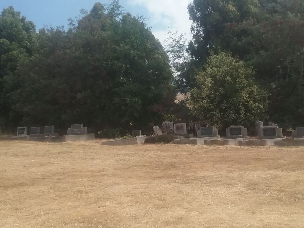
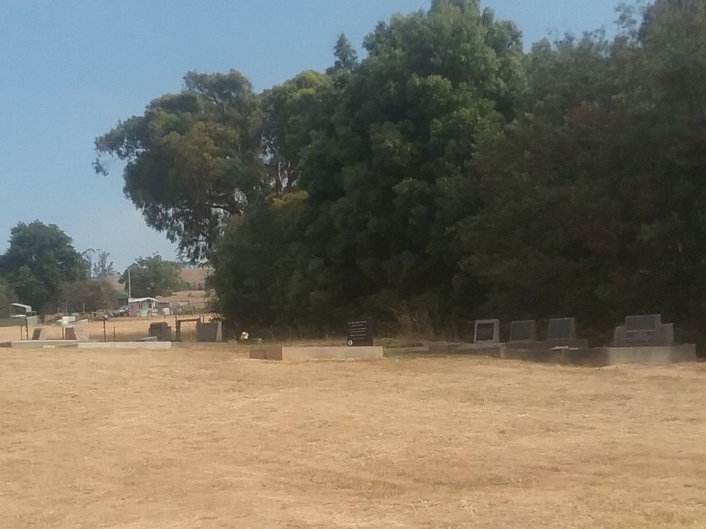
| Memorials | : | 1 |
| Location | : | Kimberley, Meander Valley Council, Australia |
| Coordinate | : | -41.4032830, 146.4960360 |
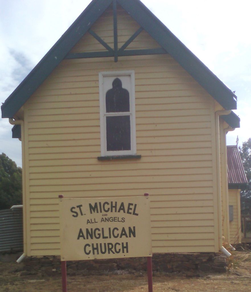
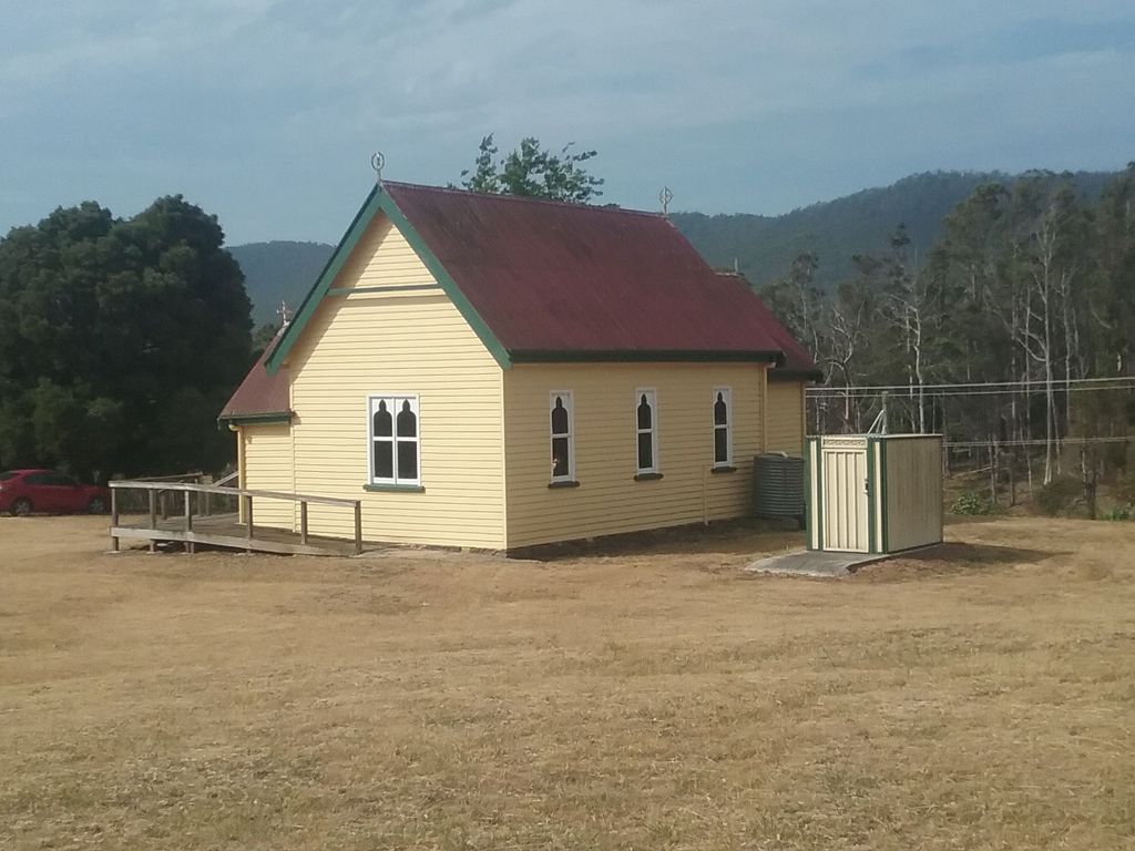
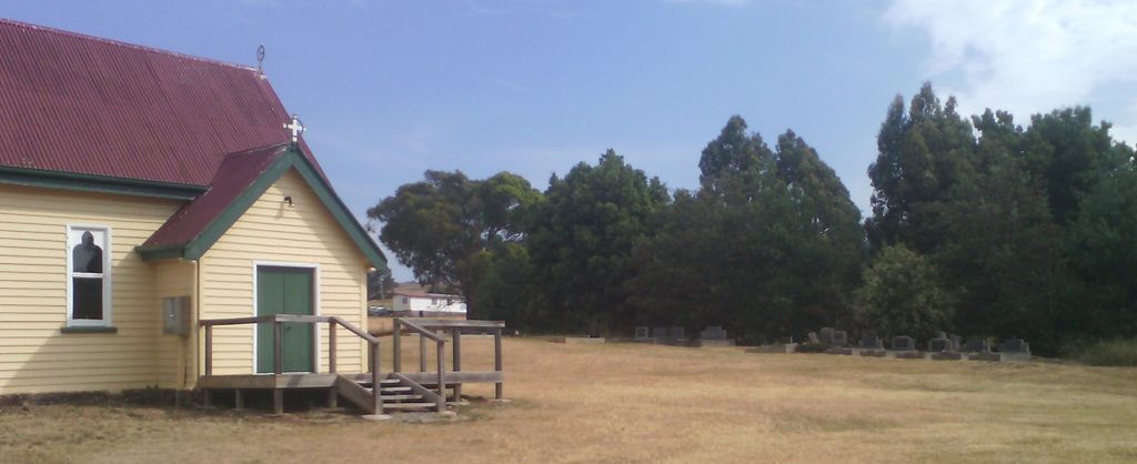
| Description | : | At the western edge of the Meander Valley Council zone, close to the Mersey River (marking the boundary with the Kentish Council jurisdiction. ) Although in the Meander Valley (Deloraine) zone, the church was served by the Anglican rectors based at Sheffield (Kentish). St Michael and all Angels Church at Kimberley, Kentish Council, Tasmania Australia was deconsecrated on 9th February 2021. |
frequently asked questions (FAQ):
-
Where is St. Michael and All Angels Anglican Cemetery?
St. Michael and All Angels Anglican Cemetery is located at 1107 Railton Road Kimberley, Meander Valley Council ,Tasmania , 7304Australia.
-
St. Michael and All Angels Anglican Cemetery cemetery's updated grave count on graveviews.com?
1 memorials
-
Where are the coordinates of the St. Michael and All Angels Anglican Cemetery?
Latitude: -41.4032830
Longitude: 146.4960360
Nearby Cemetories:
1. Railton Roman Catholic Cemetery
Railton, Kentish Council, Australia
Coordinate: -41.3542310, 146.4160170
2. Railton Methodist Cemetery
Railton, Kentish Council, Australia
Coordinate: -41.3517810, 146.4169420
3. St. James Roman Catholic Cemetery
Railton, Kentish Council, Australia
Coordinate: -41.3569000, 146.4103680
4. St John’s Anglican Church Cemetery
Railton, Kentish Council, Australia
Coordinate: -41.3521240, 146.4130000
5. Sassafras Baptist Church Cemetery
Sassafras East, Latrobe Council, Australia
Coordinate: -41.2892740, 146.5059210
6. Sassafras Uniting Church Cemetery
Sassafras, Latrobe Council, Australia
Coordinate: -41.2841730, 146.5071220
7. Deloraine General Cemetery
Deloraine, Meander Valley Council, Australia
Coordinate: -41.5077836, 146.6302915
8. Sheffield Cemetery
Sheffield, Kentish Council, Australia
Coordinate: -41.3726558, 146.3055161
9. Chudleigh Cemetery
Chudleigh, Meander Valley Council, Australia
Coordinate: -41.5532600, 146.4788000
10. Claude Road Cemetery
Claude Road, Kentish Council, Australia
Coordinate: -41.4322840, 146.2871020
11. Chudleigh Presbyterian Cemetery
Chudleigh, Meander Valley Council, Australia
Coordinate: -41.5632480, 146.4863430
12. Harford Methodist Cemetery
Harford, Latrobe Council, Australia
Coordinate: -41.2391390, 146.5463210
13. Uniting Church Cemetery
Moriarty, Latrobe Council, Australia
Coordinate: -41.2344220, 146.4977560
14. Saint Mark's Anglican Cemetery
Deloraine, Meander Valley Council, Australia
Coordinate: -41.5250850, 146.6600750
15. Latrobe Cemetery
Latrobe, Latrobe Council, Australia
Coordinate: -41.2378800, 146.4248200
16. Methodist Cemetery
Barrington, Kentish Council, Australia
Coordinate: -41.3382370, 146.2801480
17. Mole Creek General and Lawn Cemetery
Mole Creek, Meander Valley Council, Australia
Coordinate: -41.5703200, 146.4055750
18. The Mollie Armstrong Memorial Rose Garden
Latrobe, Latrobe Council, Australia
Coordinate: -41.2280620, 146.4215450
19. St. George’s Anglican Church Cemetery New Ground
Thirlstane, Latrobe Council, Australia
Coordinate: -41.2178020, 146.5069040
20. Wesley Vale Uniting Church Old Cemetery
Wesley Vale, Latrobe Council, Australia
Coordinate: -41.1906560, 146.4563100
21. Wesley Vale Uniting Church New Cemetery
Wesley Vale, Latrobe Council, Australia
Coordinate: -41.1898130, 146.4635470
22. St. James Anglican Cemetery
Northdown, Latrobe Council, Australia
Coordinate: -41.1801780, 146.4771670
23. Mersey Gardens Crematorium
Quoiba, Devonport City, Australia
Coordinate: -41.2047470, 146.3453858
24. Mersey Vale Memorial Park
Quoiba, Devonport City, Australia
Coordinate: -41.2053690, 146.3431210