
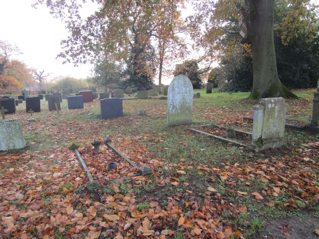
| Memorials | : | 126 |
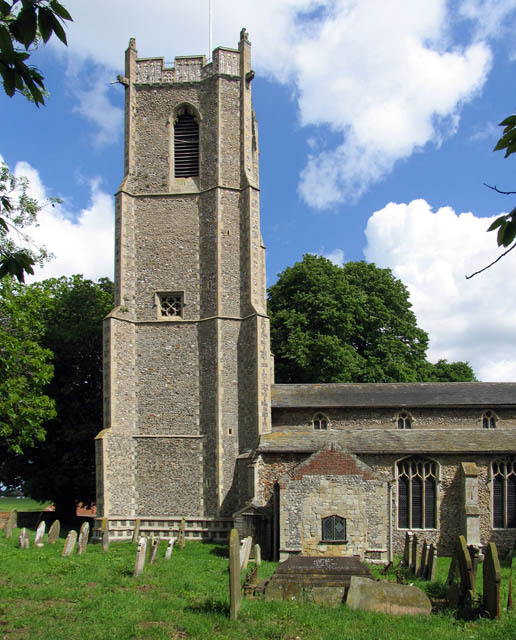
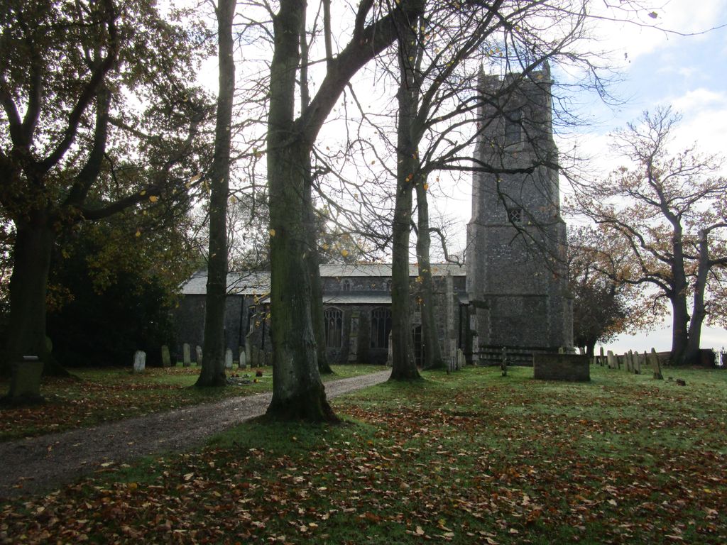
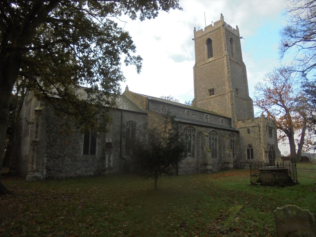
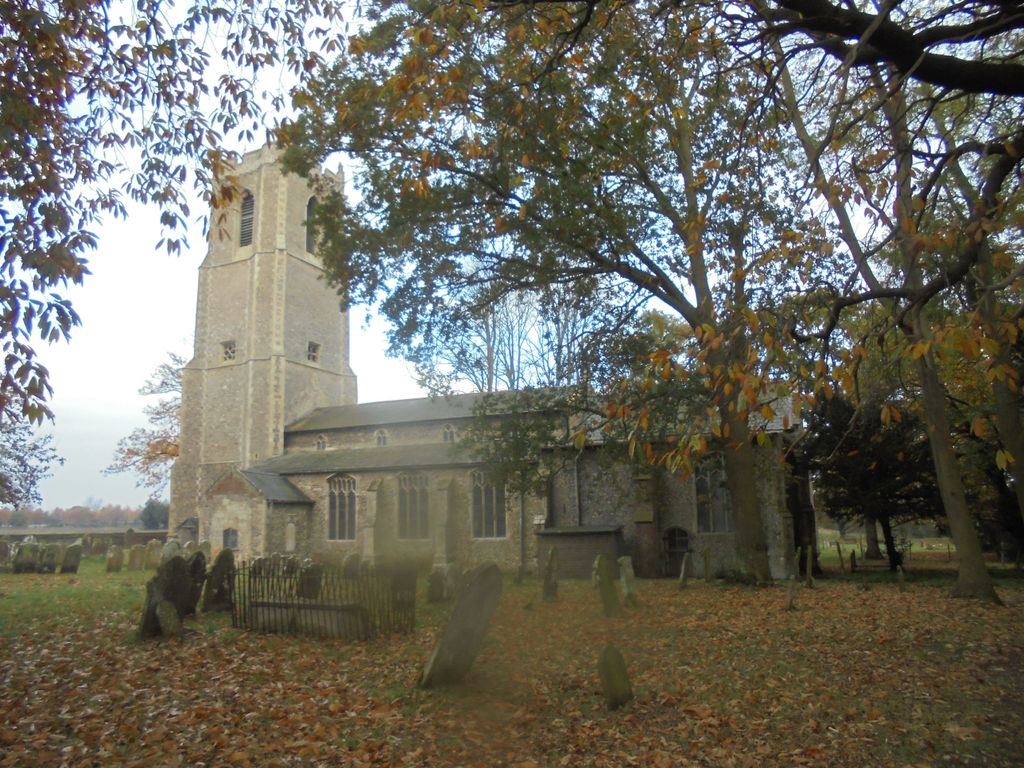
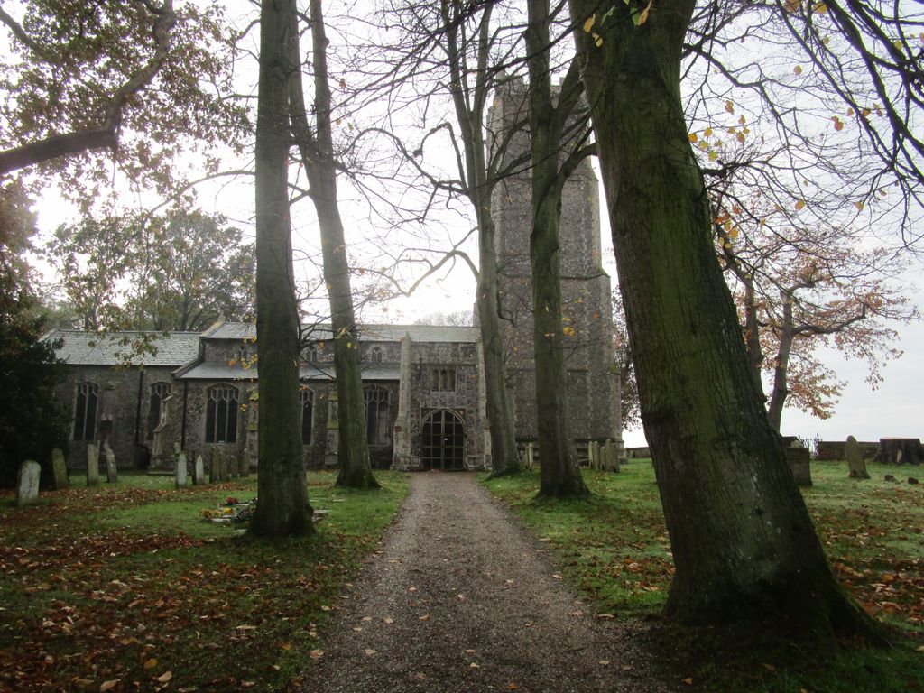
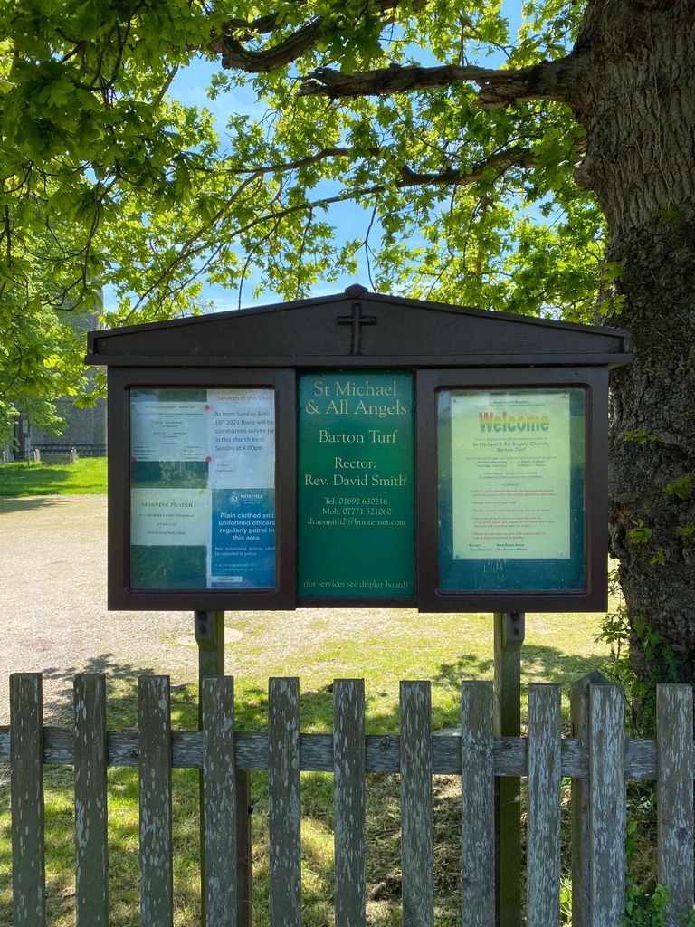
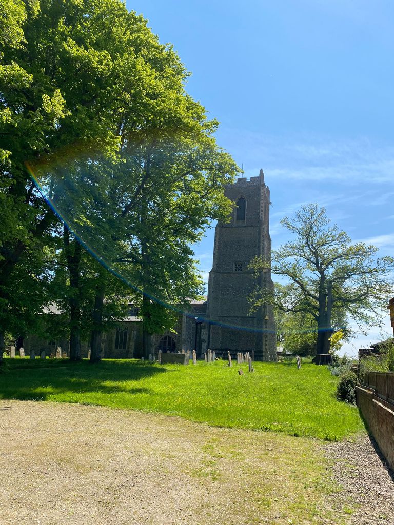
| Location | : | Barton Turf, North Norfolk District, England |
| Coordinate | : | 52.7437260, 1.4702980 |
| Description | : | The graveyard sits on a narrow lane to the west of Barton Broad. Church Road, Braydeston, Norfolk NR13 5AP, United Kingdom. |
frequently asked questions (FAQ):
-
Where is St. Michael and All Angels Churchyard?
St. Michael and All Angels Churchyard is located at Church Road Barton Turf, North Norfolk District ,Norfolk , NR12 8YUEngland.
-
St. Michael and All Angels Churchyard cemetery's updated grave count on graveviews.com?
126 memorials
-
Where are the coordinates of the St. Michael and All Angels Churchyard?
Latitude: 52.7437260
Longitude: 1.4702980
Nearby Cemetories:
1. Saint Lawrence Churchyard
Beeston St Lawrence, North Norfolk District, England
Coordinate: 52.7451100, 1.4474500
2. St. Peter Churchyard
Neatishead, North Norfolk District, England
Coordinate: 52.7244260, 1.4703220
3. Neatishead Baptist Churchyard
Neatishead, North Norfolk District, England
Coordinate: 52.7240100, 1.4633560
4. St. Michael's Churchyard
Irstead, North Norfolk District, England
Coordinate: 52.7299947, 1.5015802
5. St. Swithin's Churchyard
Ashmanhaugh, North Norfolk District, England
Coordinate: 52.7384470, 1.4271260
6. St. Peter's Churchyard
Hoveton, North Norfolk District, England
Coordinate: 52.7239790, 1.4256250
7. All Saints Churchyard
Catfield, North Norfolk District, England
Coordinate: 52.7363286, 1.5267455
8. St Nicholas Churchyard
Dilham, North Norfolk District, England
Coordinate: 52.7808760, 1.4477890
9. St John's Churchyard
Hoveton, North Norfolk District, England
Coordinate: 52.7120040, 1.4174270
10. St. Benedict's Church Cemetery
Horning, North Norfolk District, England
Coordinate: 52.6955690, 1.4836570
11. St Peter Churchyard
Brumstead, North Norfolk District, England
Coordinate: 52.7865260, 1.5133130
12. St. Catherine's Churchyard
Ludham, North Norfolk District, England
Coordinate: 52.7092870, 1.5339090
13. Wroxham Parish Council Cemetery
Wroxham, Broadland District, England
Coordinate: 52.7079631, 1.3994432
14. Holy Trinity Churchyard
Ingham, North Norfolk District, England
Coordinate: 52.7785297, 1.5442122
15. St Peter and St Paul Churchyard
Honing, North Norfolk District, England
Coordinate: 52.7993600, 1.4500820
16. St. Mary the Virgin Churchyard
Wroxham, Broadland District, England
Coordinate: 52.7067470, 1.3984620
17. St. Peter's Churchyard
Belaugh, Broadland District, England
Coordinate: 52.7153080, 1.3867600
18. St. Fabian & St. Sebastian Churchyard
Woodbastwick, Broadland District, England
Coordinate: 52.6841900, 1.4492890
19. St. Mary's Churchyard
East Ruston, North Norfolk District, England
Coordinate: 52.8038130, 1.5057820
20. St. Helen's Churchyard
Ranworth, Broadland District, England
Coordinate: 52.6792260, 1.4836790
21. St. Benets Abbey
Horning, North Norfolk District, England
Coordinate: 52.6864000, 1.5247000
22. St. John the Baptist Churchyard
Coltishall, Broadland District, England
Coordinate: 52.7278530, 1.3626450
23. Saint Mary Churchyard
Hickling, North Norfolk District, England
Coordinate: 52.7618410, 1.5781530
24. Salhouse Baptist Church
Salhouse, Broadland District, England
Coordinate: 52.6807500, 1.4223800