
| Memorials | : | 0 |
| Location | : | Carleton, Metropolitan Borough of Wakefield, England |
| Coordinate | : | 53.6740180, -1.2951080 |
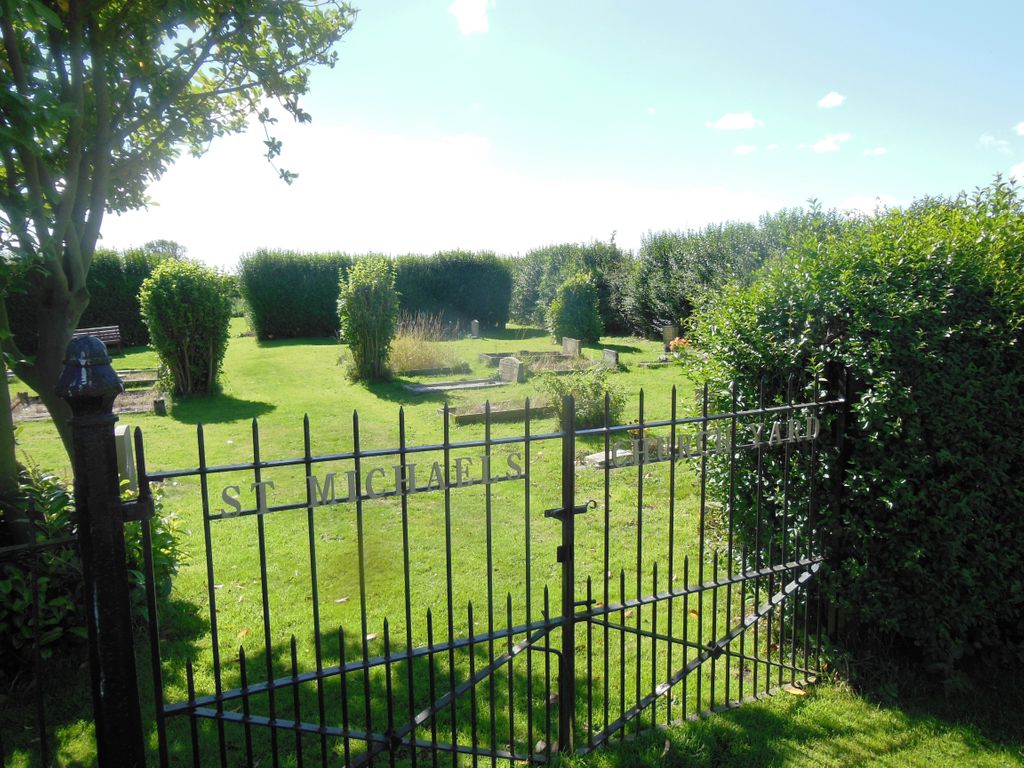
| Description | : | This is the new burial ground for St Michael the Archangel Church situated on Moor Lane, Carleton, a small village on the southern outskirts of Pontefract in West Yorkshire. It contains three commonwealth war graves. |
frequently asked questions (FAQ):
-
Where is St Michael the Archangel Church Cemetery?
St Michael the Archangel Church Cemetery is located at Moor Lane Carleton, Metropolitan Borough of Wakefield ,West Yorkshire , WF8 3RXEngland.
-
St Michael the Archangel Church Cemetery cemetery's updated grave count on graveviews.com?
0 memorials
-
Where are the coordinates of the St Michael the Archangel Church Cemetery?
Latitude: 53.6740180
Longitude: -1.2951080
Nearby Cemetories:
1. St Michael the Archangel Churchyard
Carleton, Metropolitan Borough of Wakefield, England
Coordinate: 53.6762860, -1.2934180
2. St Stephen Churchyard
East Hardwick, Metropolitan Borough of Wakefield, England
Coordinate: 53.6617000, -1.3005910
3. St. Luke and All Saints Churchyard
Darrington, Metropolitan Borough of Wakefield, England
Coordinate: 53.6756540, -1.2673490
4. Black Friars Pontefract
Pontefract, Metropolitan Borough of Wakefield, England
Coordinate: 53.6876090, -1.3152690
5. Friends Burial Ground
Pontefract, Metropolitan Borough of Wakefield, England
Coordinate: 53.6924940, -1.3061380
6. St Giles with St Mary Church
Pontefract, Metropolitan Borough of Wakefield, England
Coordinate: 53.6915100, -1.3118300
7. All Saints Churchyard
Pontefract, Metropolitan Borough of Wakefield, England
Coordinate: 53.6960100, -1.3010400
8. Pontefract Cemetery
Pontefract, Metropolitan Borough of Wakefield, England
Coordinate: 53.6945160, -1.3108810
9. Pontefract Crematorium
Pontefract, Metropolitan Borough of Wakefield, England
Coordinate: 53.6823460, -1.3314870
10. Sacred Heart of Jesus Roman Catholic Chapel
Ackworth, Metropolitan Borough of Wakefield, England
Coordinate: 53.6516190, -1.3063760
11. St John's Priory of Pontefract
Pontefract, Metropolitan Borough of Wakefield, England
Coordinate: 53.6978050, -1.2987420
12. Friends Burial Ground
Ackworth, Metropolitan Borough of Wakefield, England
Coordinate: 53.6515410, -1.3245940
13. St. Cuthbert's Churchyard
Ackworth, Metropolitan Borough of Wakefield, England
Coordinate: 53.6572600, -1.3353700
14. St John the Evangelist Churchyard
Wentbridge, Metropolitan Borough of Wakefield, England
Coordinate: 53.6507600, -1.2591930
15. St. Thomas's Churchyard
Pontefract, Metropolitan Borough of Wakefield, England
Coordinate: 53.6754520, -1.3562820
16. Ferrybridge Cemetery
Ferrybridge, Metropolitan Borough of Wakefield, England
Coordinate: 53.7102530, -1.2795200
17. Ackworth Parish Council Cemetery
Ackworth, Metropolitan Borough of Wakefield, England
Coordinate: 53.6390677, -1.3294363
18. All Saints Churchyard
Ackworth, Metropolitan Borough of Wakefield, England
Coordinate: 53.6404340, -1.3411110
19. All Saints Churchyard
Featherstone, Metropolitan Borough of Wakefield, England
Coordinate: 53.6935500, -1.3626070
20. Knottingley Cemetery
Knottingley, Metropolitan Borough of Wakefield, England
Coordinate: 53.7018600, -1.2363390
21. St. Mary the Virgin Churchyard
Badsworth, Metropolitan Borough of Wakefield, England
Coordinate: 53.6291680, -1.3011070
22. St. Andrew's Old Churchyard
Ferrybridge, Metropolitan Borough of Wakefield, England
Coordinate: 53.7193380, -1.2748540
23. Featherstone Cemetery
Featherstone, Metropolitan Borough of Wakefield, England
Coordinate: 53.6977610, -1.3637000
24. St. Botolph Churchyard
Knottingley, Metropolitan Borough of Wakefield, England
Coordinate: 53.7108080, -1.2441680