
| Memorials | : | 1 |
| Location | : | Pontefract, Metropolitan Borough of Wakefield, England |
| Coordinate | : | 53.6960100, -1.3010400 |
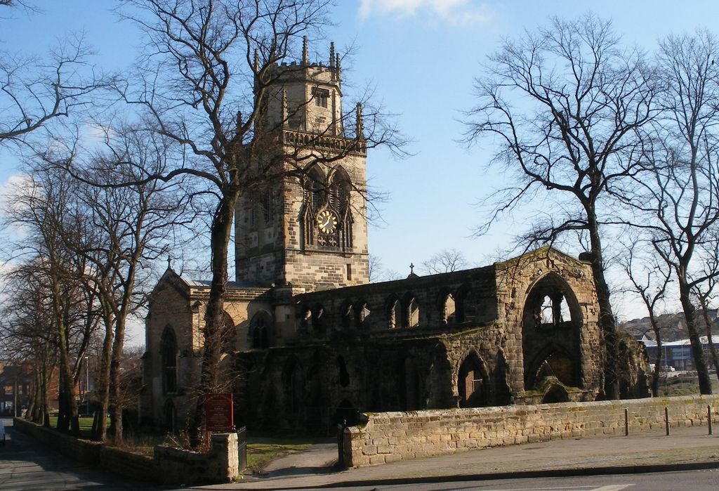
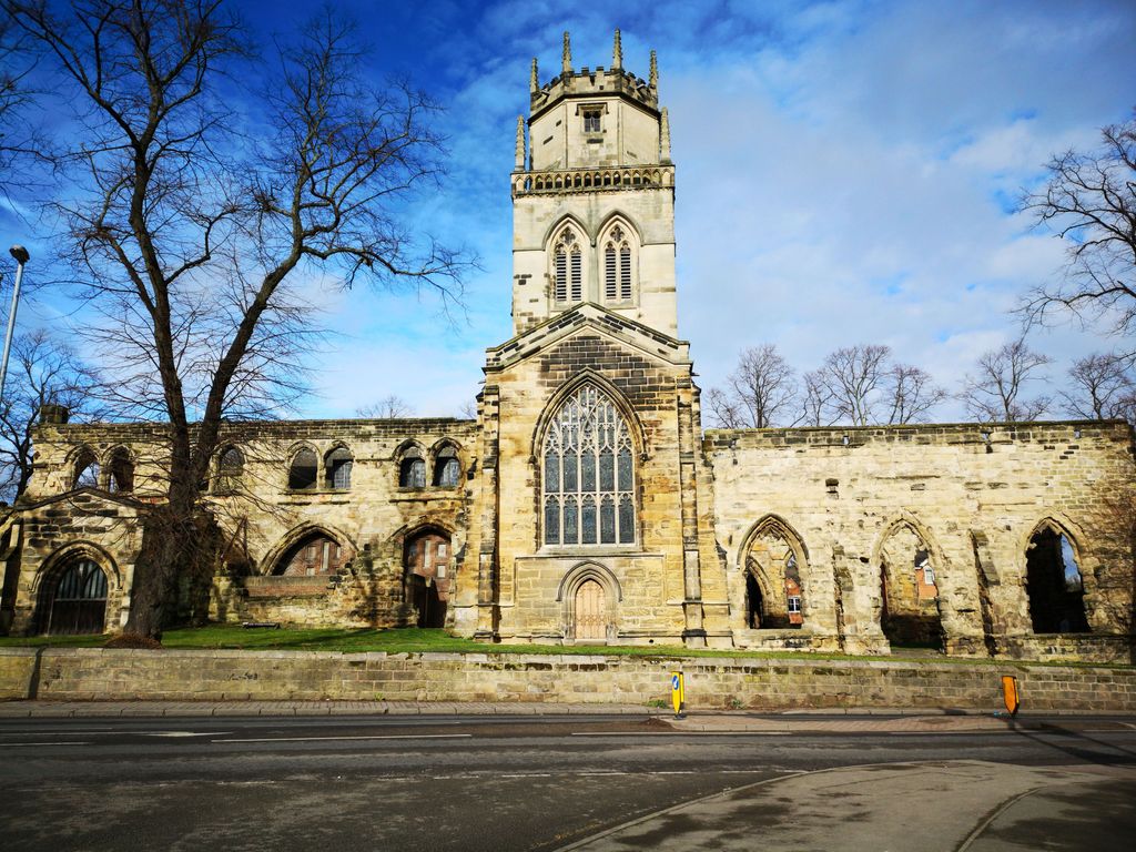
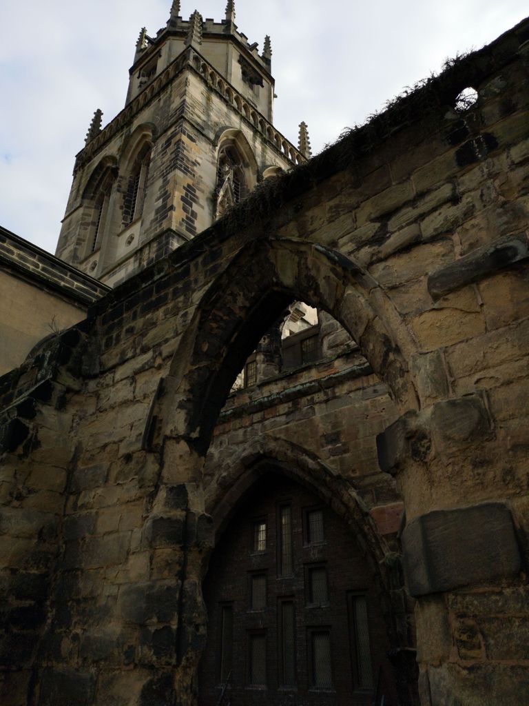
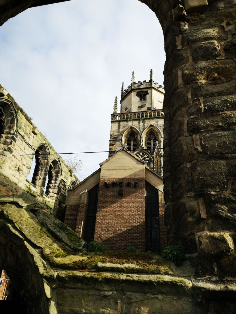
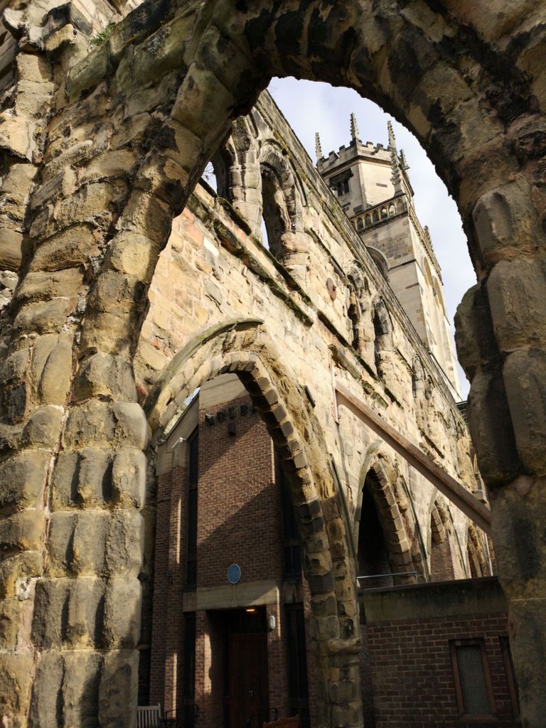
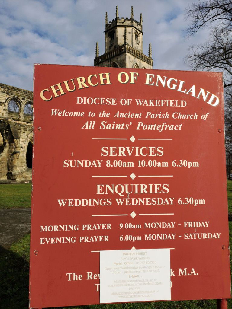
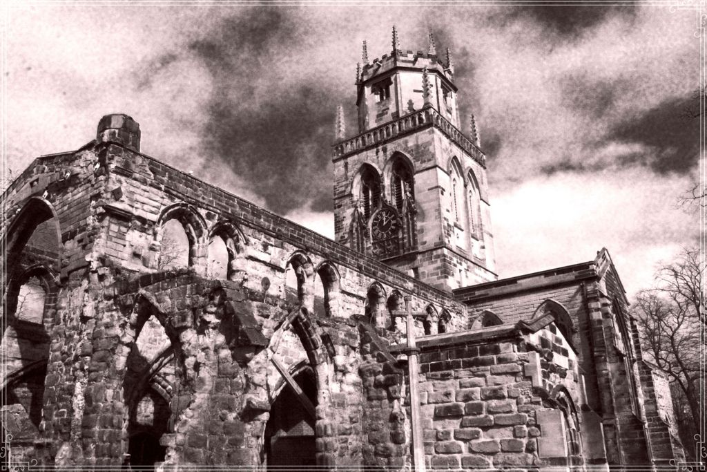
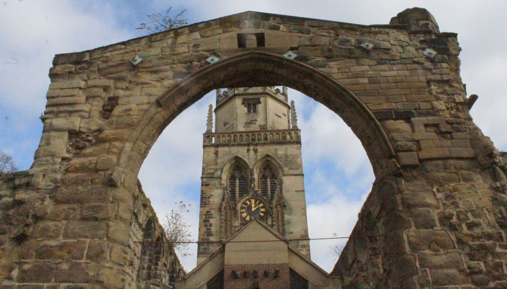
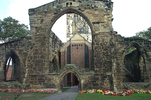
| Description | : | All Saints : South Baileygate, Pontefract, West Yorkshire, WF8 2JL |
frequently asked questions (FAQ):
-
Where is All Saints Churchyard?
All Saints Churchyard is located at South Baileygate Pontefract, Metropolitan Borough of Wakefield ,West Yorkshire , WF8 2JLEngland.
-
All Saints Churchyard cemetery's updated grave count on graveviews.com?
1 memorials
-
Where are the coordinates of the All Saints Churchyard?
Latitude: 53.6960100
Longitude: -1.3010400
Nearby Cemetories:
1. St John's Priory of Pontefract
Pontefract, Metropolitan Borough of Wakefield, England
Coordinate: 53.6978050, -1.2987420
2. Friends Burial Ground
Pontefract, Metropolitan Borough of Wakefield, England
Coordinate: 53.6924940, -1.3061380
3. Pontefract Cemetery
Pontefract, Metropolitan Borough of Wakefield, England
Coordinate: 53.6945160, -1.3108810
4. St Giles with St Mary Church
Pontefract, Metropolitan Borough of Wakefield, England
Coordinate: 53.6915100, -1.3118300
5. Black Friars Pontefract
Pontefract, Metropolitan Borough of Wakefield, England
Coordinate: 53.6876090, -1.3152690
6. Ferrybridge Cemetery
Ferrybridge, Metropolitan Borough of Wakefield, England
Coordinate: 53.7102530, -1.2795200
7. St Michael the Archangel Churchyard
Carleton, Metropolitan Borough of Wakefield, England
Coordinate: 53.6762860, -1.2934180
8. St Michael the Archangel Church Cemetery
Carleton, Metropolitan Borough of Wakefield, England
Coordinate: 53.6740180, -1.2951080
9. Pontefract Crematorium
Pontefract, Metropolitan Borough of Wakefield, England
Coordinate: 53.6823460, -1.3314870
10. St. Andrew's Old Churchyard
Ferrybridge, Metropolitan Borough of Wakefield, England
Coordinate: 53.7193380, -1.2748540
11. St. Luke and All Saints Churchyard
Darrington, Metropolitan Borough of Wakefield, England
Coordinate: 53.6756540, -1.2673490
12. St Stephen Churchyard
East Hardwick, Metropolitan Borough of Wakefield, England
Coordinate: 53.6617000, -1.3005910
13. St Edward the Confessor Churchyard
Brotherton, Selby District, England
Coordinate: 53.7259200, -1.2709600
14. All Saints Churchyard
Featherstone, Metropolitan Borough of Wakefield, England
Coordinate: 53.6935500, -1.3626070
15. Brotherton United Reformed Church
Brotherton, Selby District, England
Coordinate: 53.7277104, -1.2698131
16. St. Botolph Churchyard
Knottingley, Metropolitan Borough of Wakefield, England
Coordinate: 53.7108080, -1.2441680
17. Castleford New Cemetery
Castleford, Metropolitan Borough of Wakefield, England
Coordinate: 53.7259920, -1.3380580
18. Featherstone Cemetery
Featherstone, Metropolitan Borough of Wakefield, England
Coordinate: 53.6977610, -1.3637000
19. Ropewalk Methodist Church Burial Ground
Knottingley, Metropolitan Borough of Wakefield, England
Coordinate: 53.7092850, -1.2408320
20. Castleford Old Cemetery
Castleford, Metropolitan Borough of Wakefield, England
Coordinate: 53.7269200, -1.3390300
21. St. Thomas's Churchyard
Pontefract, Metropolitan Borough of Wakefield, England
Coordinate: 53.6754520, -1.3562820
22. Knottingley Cemetery
Knottingley, Metropolitan Borough of Wakefield, England
Coordinate: 53.7018600, -1.2363390
23. Castleford New Extension Cemetery
Castleford, Metropolitan Borough of Wakefield, England
Coordinate: 53.7277600, -1.3391000
24. United Reformed Churchyard
Knottingley, Metropolitan Borough of Wakefield, England
Coordinate: 53.7104820, -1.2397270