
| Memorials | : | 0 |
| Location | : | Beer Hackett, West Dorset District, England |
| Coordinate | : | 50.9040180, -2.5703420 |
frequently asked questions (FAQ):
-
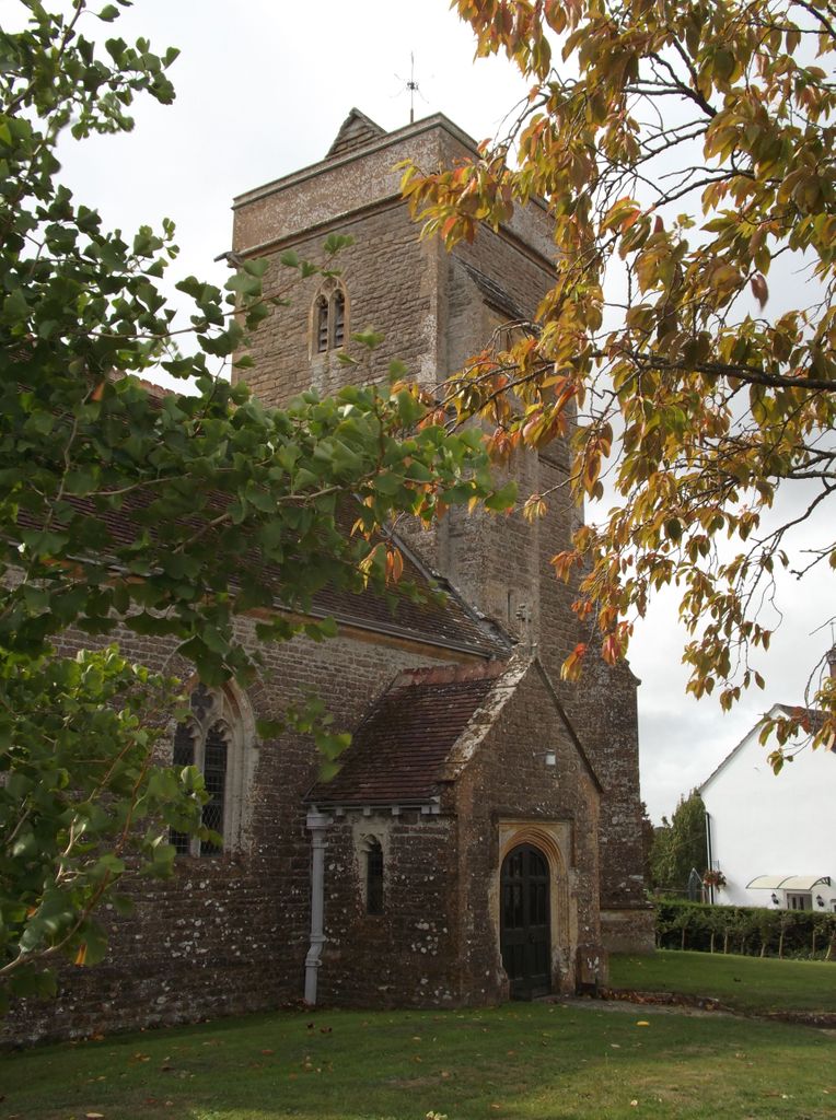
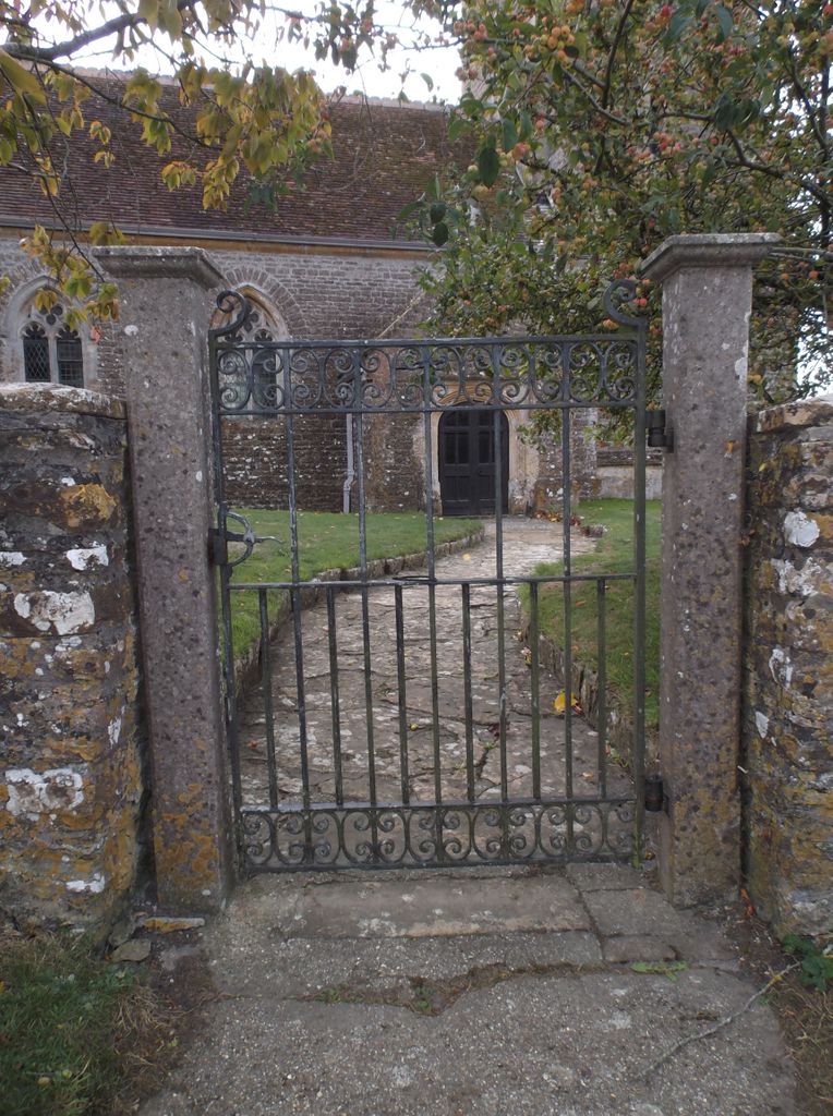
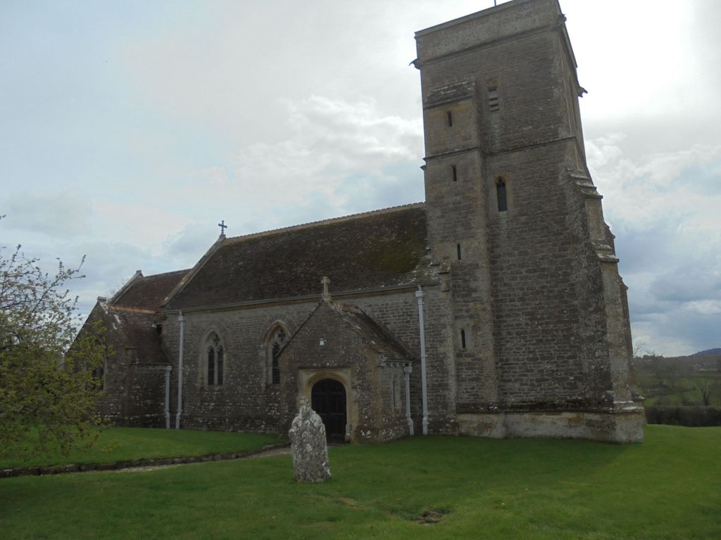
Where is St. Michael’s Churchyard?
St. Michael’s Churchyard is located at Beer Hackett, West Dorset District ,Dorset ,England.
-
St. Michael’s Churchyard cemetery's updated grave count on graveviews.com?
0 memorials
-
Where are the coordinates of the St. Michael’s Churchyard?
Latitude: 50.9040180
Longitude: -2.5703420
Nearby Cemetories:
1. St. Hippolytus Churchyard
Ryme Intrinseca, West Dorset District, England
Coordinate: 50.8956530, -2.5962310
2. St Mary the Virgin Churchyard
Bradford Abbas, West Dorset District, England
Coordinate: 50.9264090, -2.5884500
3. St. Martin’s Churchyard
Lilington, West Dorset District, England
Coordinate: 50.9126140, -2.5283700
4. St. Peter’s Churchyard
Chetnole, West Dorset District, England
Coordinate: 50.8718521, -2.5666604
5. St. Andrew's Churchyard
Leigh, West Dorset District, England
Coordinate: 50.8761580, -2.5443780
6. Saint Roch Church Churchyard
South Somerset District, England
Coordinate: 50.8923000, -2.6198000
7. Saint Mary Magdalene Church
Barwick, South Somerset District, England
Coordinate: 50.9225000, -2.6302000
8. St. Osmond's Churchyard
Melbury Osmond, West Dorset District, England
Coordinate: 50.8684120, -2.6067439
9. Barwick Extension Cemetery
Barwick, South Somerset District, England
Coordinate: 50.9225700, -2.6310700
10. St. James The Great Churchyard
Longburton, West Dorset District, England
Coordinate: 50.9130390, -2.5010040
11. Long Burton Methodist Churchyard
Longburton, West Dorset District, England
Coordinate: 50.9074120, -2.4988250
12. St Michael's Churchyard
Over Compton, West Dorset District, England
Coordinate: 50.9500000, -2.5784000
13. Sherborne Cemetery
Sherborne, West Dorset District, England
Coordinate: 50.9420010, -2.5266500
14. St. Mary the Virgin
Melbury Bubb, West Dorset District, England
Coordinate: 50.8571090, -2.5751350
15. Nether Compton Cemetery
Nether Compton, West Dorset District, England
Coordinate: 50.9531610, -2.5732420
16. St Nicholas Churchyard
Nether Compton, West Dorset District, England
Coordinate: 50.9531610, -2.5732420
17. East Coker Cemetery
East Coker, South Somerset District, England
Coordinate: 50.9104300, -2.6546930
18. Holnest Churchyard
Holnest, West Dorset District, England
Coordinate: 50.8870090, -2.4895200
19. Sherborne Abbey
Sherborne, West Dorset District, England
Coordinate: 50.9466680, -2.5166680
20. St. Michael and All Angels Churchyard
East Coker, South Somerset District, England
Coordinate: 50.9073181, -2.6572940
21. St Lawrence Churchyard
Folke, West Dorset District, England
Coordinate: 50.9179430, -2.4854020
22. St Mary's Chapel
Melbury Sampford, West Dorset District, England
Coordinate: 50.8515000, -2.6022600
23. Union Chapel
Sherborne, West Dorset District, England
Coordinate: 50.9475310, -2.5136220
24. St. Mary Magdalene Churchyard
North Wootton, West Dorset District, England
Coordinate: 50.9281260, -2.4895320