
| Memorials | : | 0 |
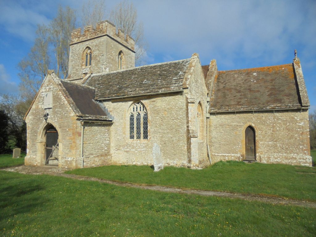
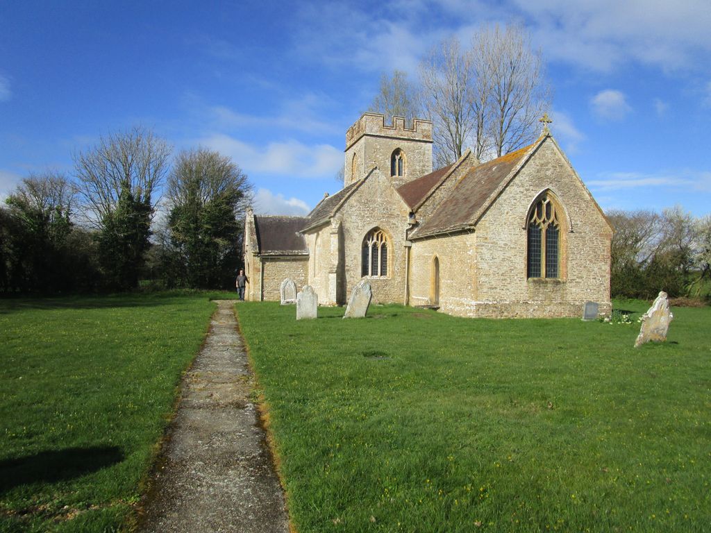
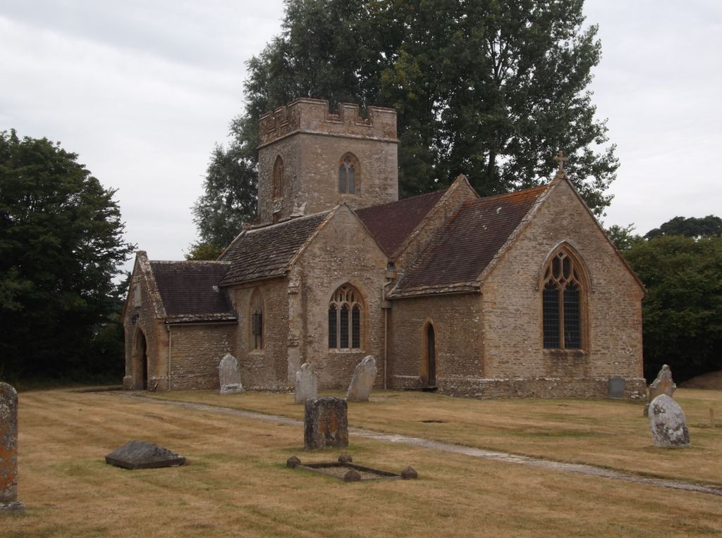
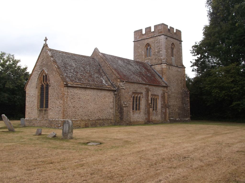
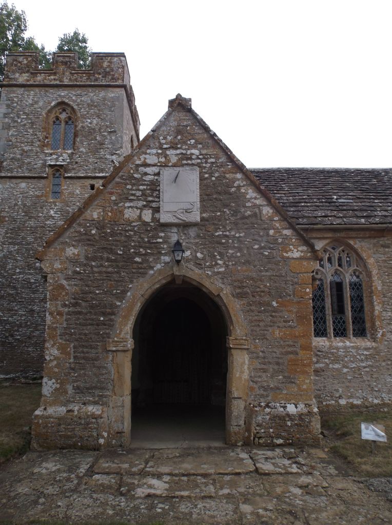
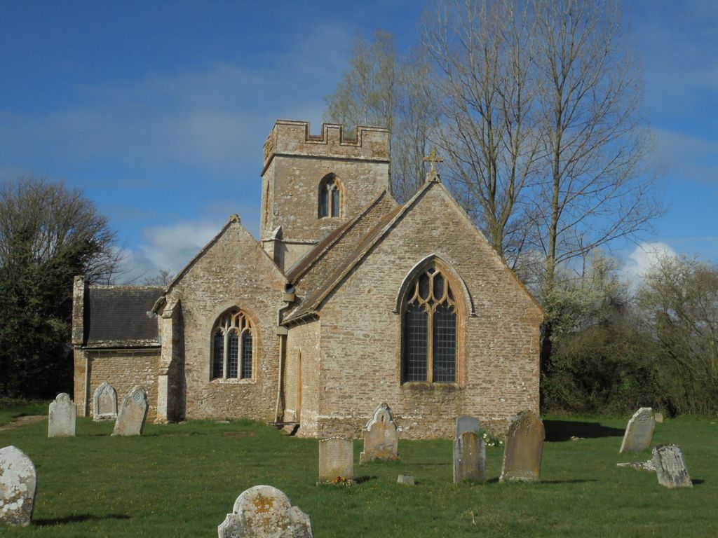
| Location | : | Holnest, West Dorset District, England |
| Coordinate | : | 50.8870090, -2.4895200 |
frequently asked questions (FAQ):
-
Where is Holnest Churchyard?
Holnest Churchyard is located at Holnest, West Dorset District ,Dorset , DT9 5PUEngland.
-
Holnest Churchyard cemetery's updated grave count on graveviews.com?
0 memorials
-
Where are the coordinates of the Holnest Churchyard?
Latitude: 50.8870090
Longitude: -2.4895200
Nearby Cemetories:
1. Long Burton Methodist Churchyard
Longburton, West Dorset District, England
Coordinate: 50.9074120, -2.4988250
2. St. Mary's Churchyard
Glanvilles Wootton, North Dorset District, England
Coordinate: 50.8717800, -2.4558510
3. St. James The Great Churchyard
Longburton, West Dorset District, England
Coordinate: 50.9130390, -2.5010040
4. St Lawrence Churchyard
Folke, West Dorset District, England
Coordinate: 50.9179430, -2.4854020
5. St. Martin’s Churchyard
Lilington, West Dorset District, England
Coordinate: 50.9126140, -2.5283700
6. St. Peter and St. Paul's Churchyard
Caundle Marsh, West Dorset District, England
Coordinate: 50.9176840, -2.4596680
7. St. Andrew's Churchyard
Leigh, West Dorset District, England
Coordinate: 50.8761580, -2.5443780
8. St. Mary Magdalene Churchyard
North Wootton, West Dorset District, England
Coordinate: 50.9281260, -2.4895320
9. Saint Laurence Churchyard
Holwell, West Dorset District, England
Coordinate: 50.9063460, -2.4288180
10. Bishop's Caundle Extension Cemetery
Bishops Caundle, West Dorset District, England
Coordinate: 50.9169370, -2.4343580
11. Bishops Caundle
Bishops Caundle, West Dorset District, England
Coordinate: 50.9171310, -2.4336400
12. Hilfield Chapel
Hilfield, West Dorset District, England
Coordinate: 50.8442800, -2.5199520
13. Holy Rood Churchyard
Buckland Newton, West Dorset District, England
Coordinate: 50.8461660, -2.4453910
14. St. Andrew's Churchyard
Minterne Magna, West Dorset District, England
Coordinate: 50.8375700, -2.4848100
15. St. Thomas A' Beckett Churchyard
Pulham, North Dorset District, England
Coordinate: 50.8753720, -2.4111670
16. St. Peter’s Churchyard
Chetnole, West Dorset District, England
Coordinate: 50.8718521, -2.5666604
17. Hilfield Friary (Society of St. Francis)
Hilfield, West Dorset District, England
Coordinate: 50.8385230, -2.5252120
18. St. Michael’s Churchyard
Beer Hackett, West Dorset District, England
Coordinate: 50.9040180, -2.5703420
19. St. Catherine's Churchyard
Haydon, West Dorset District, England
Coordinate: 50.9404290, -2.4702910
20. Sherborne Cemetery
Sherborne, West Dorset District, England
Coordinate: 50.9420010, -2.5266500
21. St. Mary the Virgin
Melbury Bubb, West Dorset District, England
Coordinate: 50.8571090, -2.5751350
22. Sherborne Abbey
Sherborne, West Dorset District, England
Coordinate: 50.9466680, -2.5166680
23. Union Chapel
Sherborne, West Dorset District, England
Coordinate: 50.9475310, -2.5136220
24. St Mary Magdalene Churchyard
Castleton, West Dorset District, England
Coordinate: 50.9496210, -2.5050130