
| Memorials | : | 0 |
| Location | : | Sherborne, West Dorset District, England |
| Coordinate | : | 50.9420010, -2.5266500 |
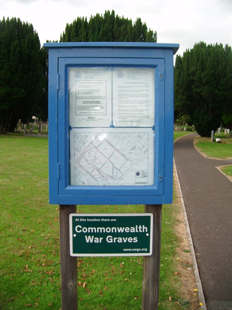
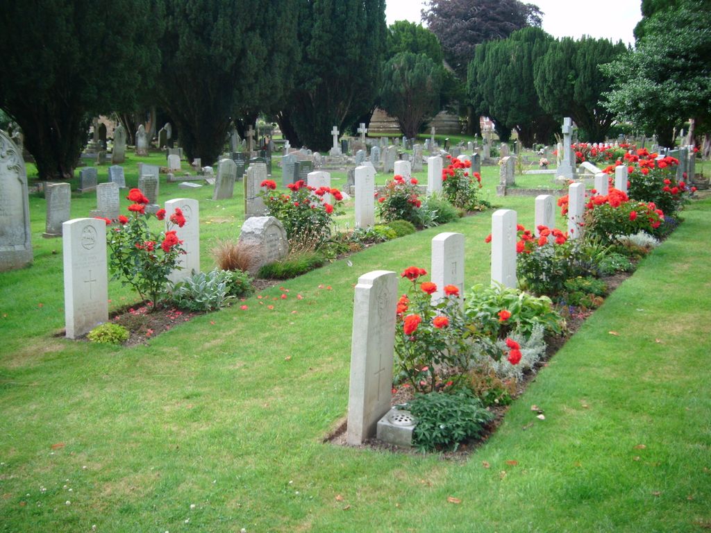
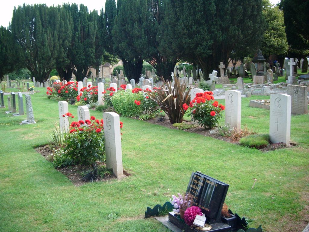
| Description | : | Sherborne Cemetery contains war graves of both wars. The 25 First World War burials, some of them made from the local Red Cross hospital, are scattered throughout the cemetery. The 29 Second World War graves lie in a special plot near the entrance and are in two groups, one naval, the other army and air force. The plot also contains two non-war burials. |
frequently asked questions (FAQ):
-
Where is Sherborne Cemetery?
Sherborne Cemetery is located at Sherborne, West Dorset District ,Dorset ,England.
-
Sherborne Cemetery cemetery's updated grave count on graveviews.com?
0 memorials
-
Where are the coordinates of the Sherborne Cemetery?
Latitude: 50.9420010
Longitude: -2.5266500
Nearby Cemetories:
1. Sherborne Abbey
Sherborne, West Dorset District, England
Coordinate: 50.9466680, -2.5166680
2. Union Chapel
Sherborne, West Dorset District, England
Coordinate: 50.9475310, -2.5136220
3. St Mary Magdalene Churchyard
Castleton, West Dorset District, England
Coordinate: 50.9496210, -2.5050130
4. St. Cuthbert's Old Church
Oborne, West Dorset District, England
Coordinate: 50.9588620, -2.4947350
5. St. Mary Magdalene Churchyard
North Wootton, West Dorset District, England
Coordinate: 50.9281260, -2.4895320
6. St. Martin’s Churchyard
Lilington, West Dorset District, England
Coordinate: 50.9126140, -2.5283700
7. St Cuthbert Churchyard
Oborne, West Dorset District, England
Coordinate: 50.9649280, -2.4941270
8. Nether Compton Cemetery
Nether Compton, West Dorset District, England
Coordinate: 50.9531610, -2.5732420
9. St Nicholas Churchyard
Nether Compton, West Dorset District, England
Coordinate: 50.9531610, -2.5732420
10. St. James The Great Churchyard
Longburton, West Dorset District, England
Coordinate: 50.9130390, -2.5010040
11. St Michael's Churchyard
Over Compton, West Dorset District, England
Coordinate: 50.9500000, -2.5784000
12. St Lawrence Churchyard
Folke, West Dorset District, England
Coordinate: 50.9179430, -2.4854020
13. St. Catherine's Churchyard
Haydon, West Dorset District, England
Coordinate: 50.9404290, -2.4702910
14. Long Burton Methodist Churchyard
Longburton, West Dorset District, England
Coordinate: 50.9074120, -2.4988250
15. All Saints Churchyard
Poyntington, West Dorset District, England
Coordinate: 50.9782070, -2.4997530
16. St. Peter's Churchyard
Goathill, West Dorset District, England
Coordinate: 50.9534230, -2.4628960
17. St Mary the Virgin Churchyard
Bradford Abbas, West Dorset District, England
Coordinate: 50.9264090, -2.5884500
18. St. Nicholas Churchyard
Sandford Orcas, West Dorset District, England
Coordinate: 50.9874190, -2.5394460
19. Milborne Port Churchyard
Milborne Port, South Somerset District, England
Coordinate: 50.9653900, -2.4621550
20. St. Michael’s Churchyard
Beer Hackett, West Dorset District, England
Coordinate: 50.9040180, -2.5703420
21. Milborne Port Cemetery
Milborne Port, South Somerset District, England
Coordinate: 50.9662940, -2.4605880
22. St. Peter and St. Paul's Churchyard
Caundle Marsh, West Dorset District, England
Coordinate: 50.9176840, -2.4596680
23. St. Mary the Virgin Churchyard
Rimpton, South Somerset District, England
Coordinate: 50.9947330, -2.5564860
24. Saint Andrew Churchyard
Corton Denham, South Somerset District, England
Coordinate: 51.0015790, -2.5203100