
| Memorials | : | 0 |
| Location | : | Thorne, Metropolitan Borough of Doncaster, England |
| Coordinate | : | 53.6116500, -0.9580000 |
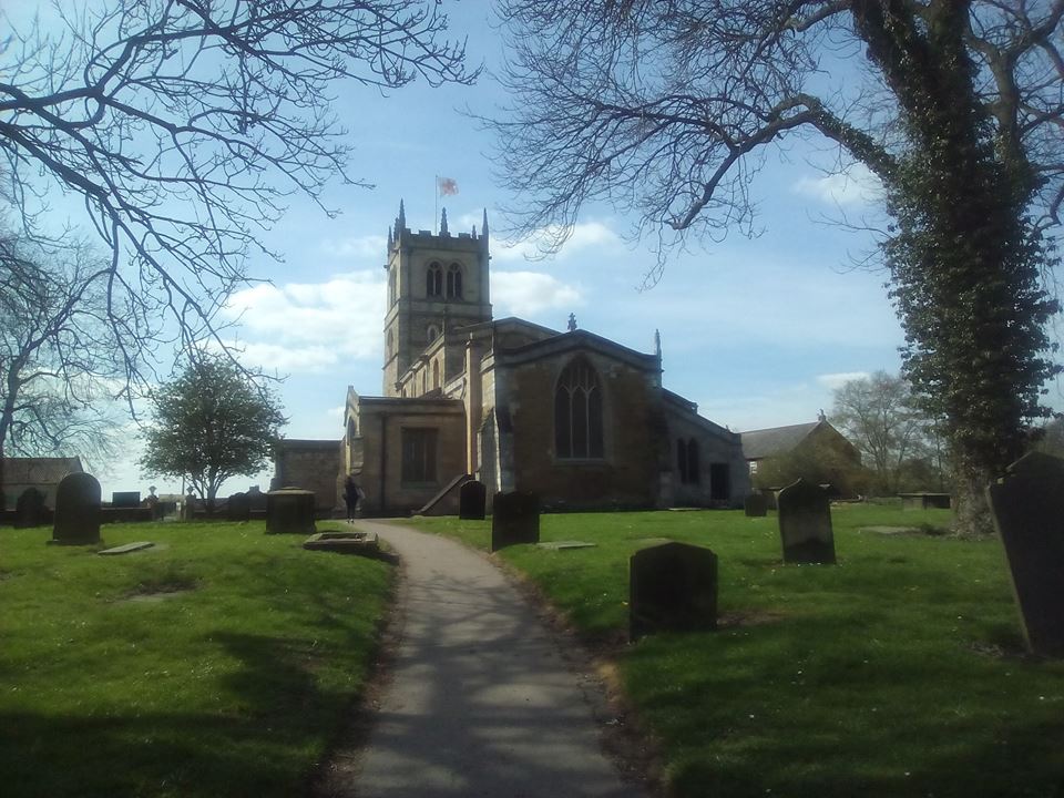
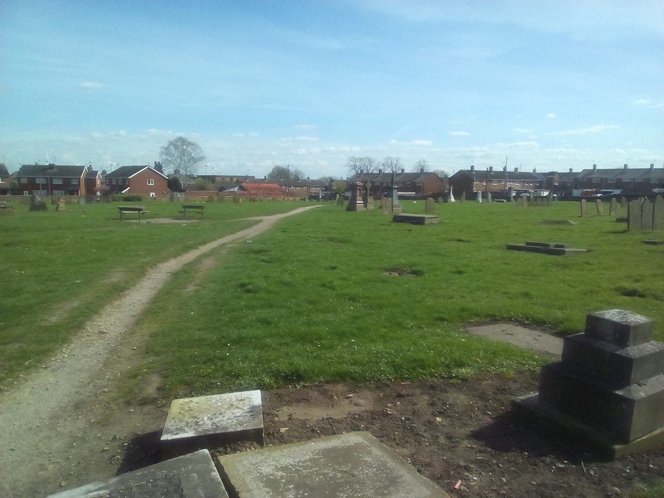
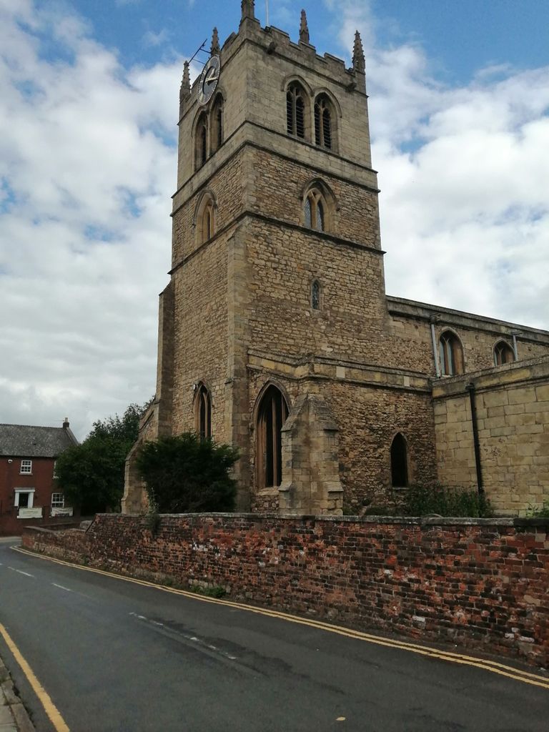
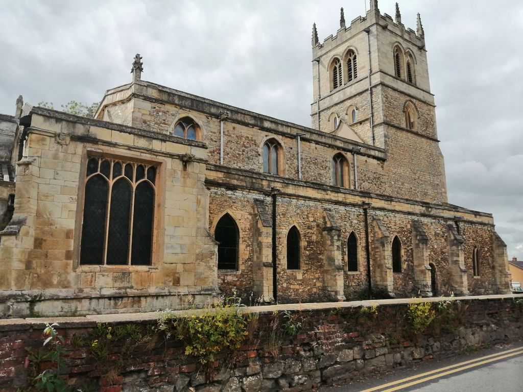
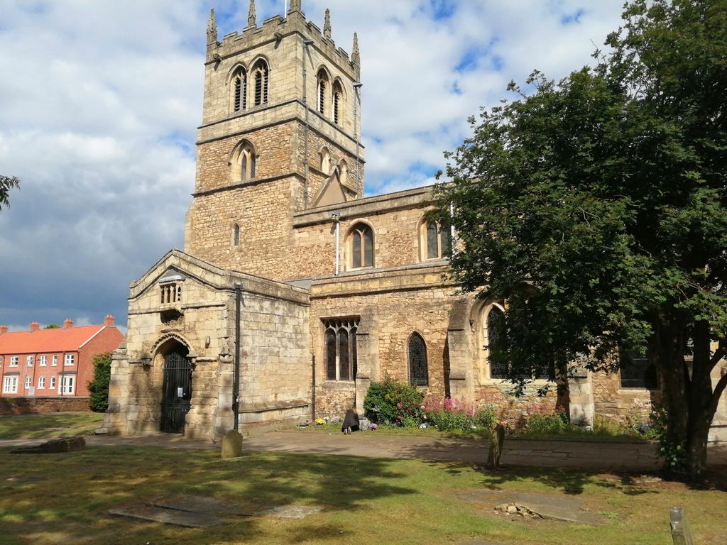
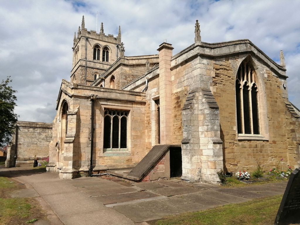
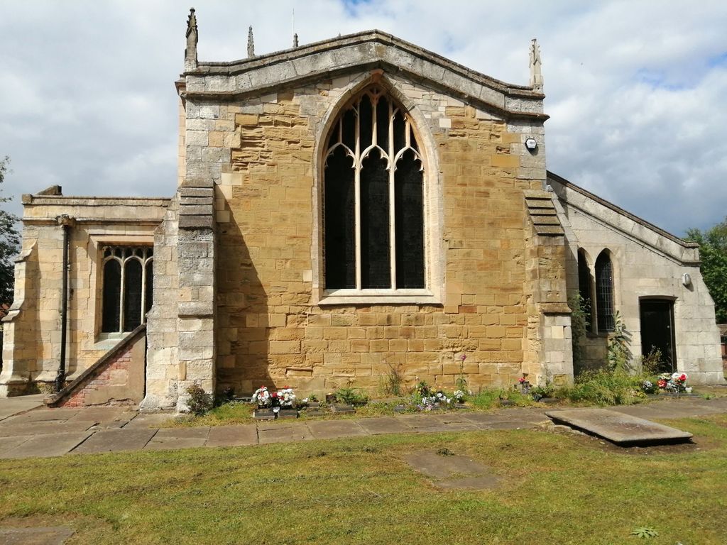
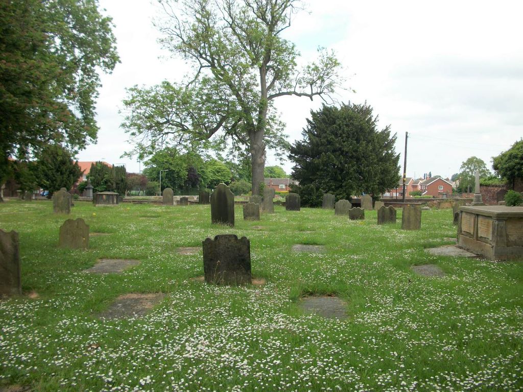
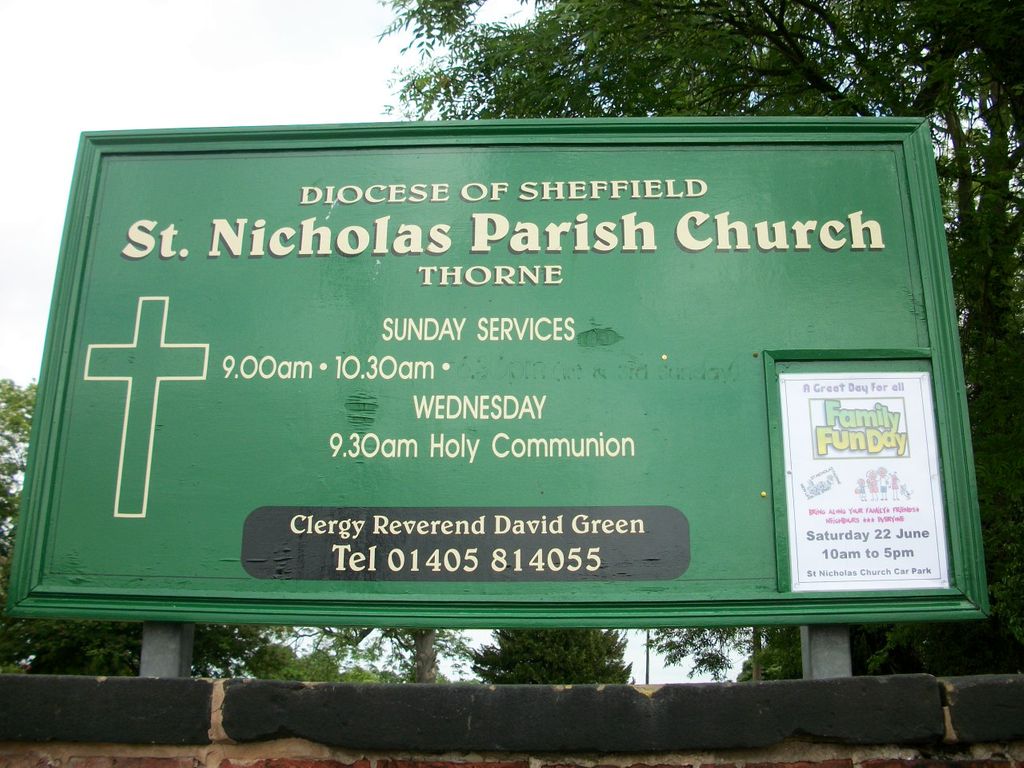
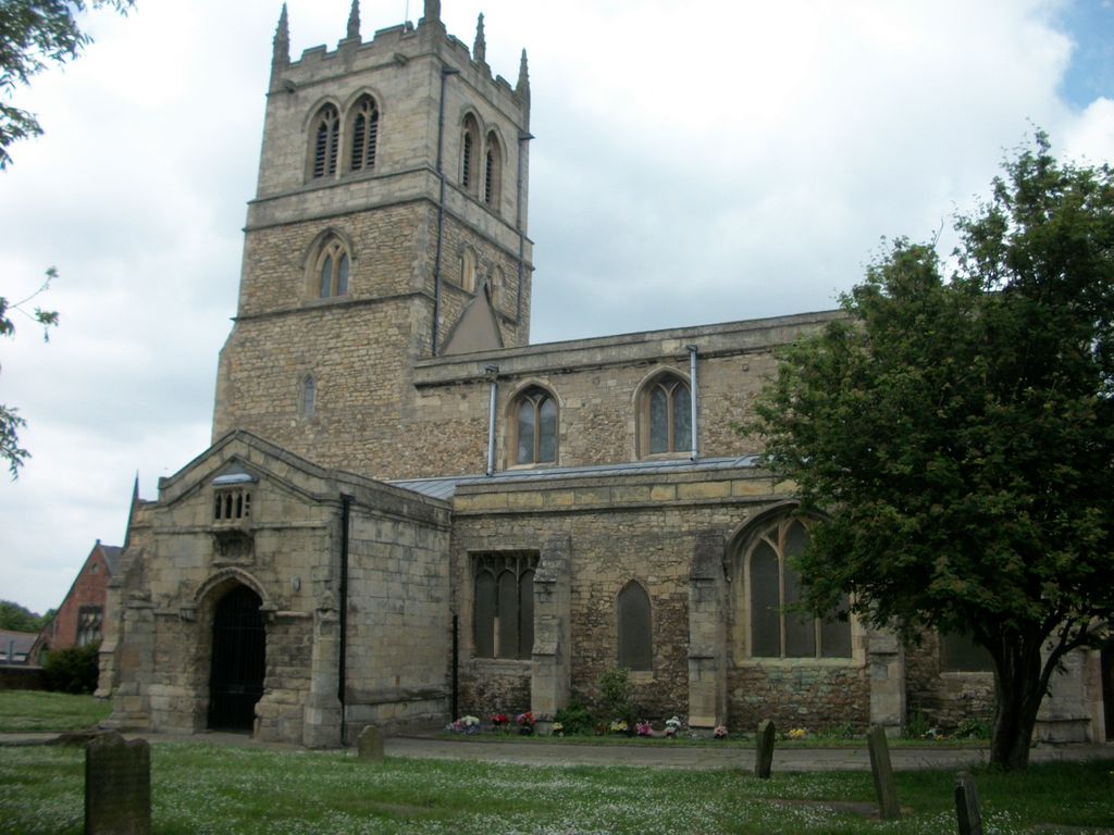
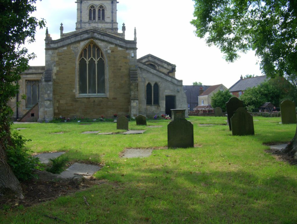
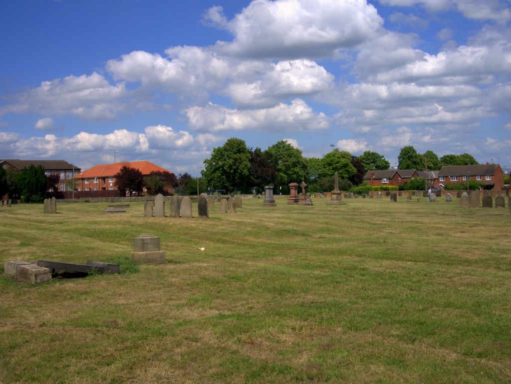
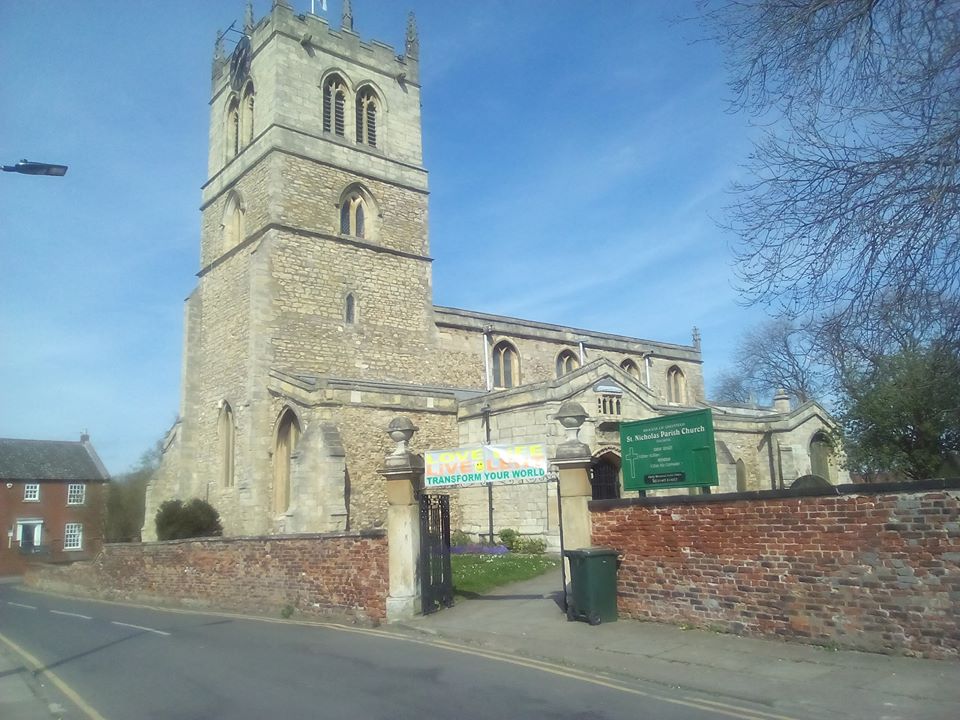
| Description | : | St Nicholas is a medieval building going back to the 12th century in the small market town of Thorne. The five wargraves here are in the churchyard extension at Back Lane.Being detached from the main churchyard, it is, strictly speaking, a church cemetery. Thorne Cemetery [where there are a further 14 wargraves] is a few yards south of the extension churchyard. |
frequently asked questions (FAQ):
-
Where is St. Nicholas Churchyard?
St. Nicholas Churchyard is located at Stone Gate Thorne Thorne, Metropolitan Borough of Doncaster ,South Yorkshire , DN8 5NPEngland.
-
St. Nicholas Churchyard cemetery's updated grave count on graveviews.com?
0 memorials
-
Where are the coordinates of the St. Nicholas Churchyard?
Latitude: 53.6116500
Longitude: -0.9580000
Nearby Cemetories:
1. Thorne Cemetery
Thorne, Metropolitan Borough of Doncaster, England
Coordinate: 53.6084100, -0.9572000
2. St. Wilfrith's Churchyard
Moorends, Metropolitan Borough of Doncaster, England
Coordinate: 53.6306940, -0.9502050
3. St. Cuthbert's Churchyard
Fishlake, Metropolitan Borough of Doncaster, England
Coordinate: 53.6111344, -1.0094844
4. St. Lawrence Churchyard
Hatfield, Metropolitan Borough of Doncaster, England
Coordinate: 53.5787230, -0.9999700
5. Hatfield Woodhouse
Hatfield, Metropolitan Borough of Doncaster, England
Coordinate: 53.5736500, -0.9855500
6. Hatfield Memorial Park
Hatfield, Metropolitan Borough of Doncaster, England
Coordinate: 53.5775464, -1.0013126
7. Stainforth Cemetery
Stainforth, Metropolitan Borough of Doncaster, England
Coordinate: 53.5952800, -1.0307440
8. Holy Trinity Churchyard
Sykehouse, Metropolitan Borough of Doncaster, England
Coordinate: 53.6449289, -1.0492909
9. St. Mary's Churchyard
Kirk Bramwith, Metropolitan Borough of Doncaster, England
Coordinate: 53.5985711, -1.0637691
10. St Oswald Churchyard
Crowle, North Lincolnshire Unitary Authority, England
Coordinate: 53.6077330, -0.8353940
11. Crowle Baptist Church
Crowle, North Lincolnshire Unitary Authority, England
Coordinate: 53.6093970, -0.8317350
12. St Peter & St Paul's Churchyard
Barnby Dun, Metropolitan Borough of Doncaster, England
Coordinate: 53.5807905, -1.0737583
13. Crowle Cemetery
Crowle, North Lincolnshire Unitary Authority, England
Coordinate: 53.6090660, -0.8285680
14. Holy Trinity Churchyard
East Cowick, East Riding of Yorkshire Unitary Authority, England
Coordinate: 53.6866220, -1.0000200
15. Rands Lane Cemetery
Armthorpe, Metropolitan Borough of Doncaster, England
Coordinate: 53.5414848, -1.0403739
16. Saint Oswald's Churchyard
Kirk Sandall, Metropolitan Borough of Doncaster, England
Coordinate: 53.5665233, -1.0806768
17. St. John's Churchyard
Fenwick, Metropolitan Borough of Doncaster, England
Coordinate: 53.6284191, -1.1091576
18. All Saints Church
Moss, Metropolitan Borough of Doncaster, England
Coordinate: 53.6079090, -1.1176700
19. St. Leonard & St. Mary Churchyard
Armthorpe, Metropolitan Borough of Doncaster, England
Coordinate: 53.5368555, -1.0633563
20. St Pancras Church
Wroot, North Lincolnshire Unitary Authority, England
Coordinate: 53.5158350, -0.9209990
21. All Saints Churchyard
Belton, North Lincolnshire Unitary Authority, England
Coordinate: 53.5478600, -0.8199200
22. St Mary Churchyard
Carlton, Selby District, England
Coordinate: 53.7088060, -1.0209800
23. St. John the Evangelist Churchyard
Goole, East Riding of Yorkshire Unitary Authority, England
Coordinate: 53.7024600, -0.8719260
24. St Mary Roman Catholic Church
Carlton, Selby District, England
Coordinate: 53.7111900, -1.0199300