
| Memorials | : | 0 |
| Location | : | East Cowick, East Riding of Yorkshire Unitary Authority, England |
| Coordinate | : | 53.6866220, -1.0000200 |
frequently asked questions (FAQ):
-
Where is Holy Trinity Churchyard?
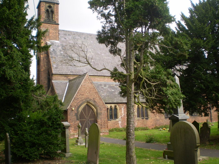
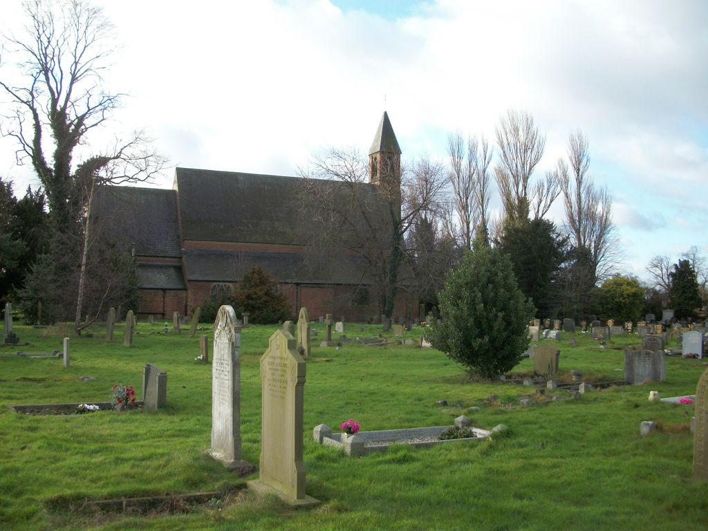
Holy Trinity Churchyard is located at East Cowick, East Riding of Yorkshire Unitary Authority ,East Riding of Yorkshire ,England.
-
Holy Trinity Churchyard cemetery's updated grave count on graveviews.com?
0 memorials
-
Where are the coordinates of the Holy Trinity Churchyard?
Latitude: 53.6866220
Longitude: -1.0000200
Nearby Cemetories:
1. St Mary Churchyard
Carlton, Selby District, England
Coordinate: 53.7088060, -1.0209800
2. St Mary Roman Catholic Church
Carlton, Selby District, England
Coordinate: 53.7111900, -1.0199300
3. Carlton Cemetery
Carlton, Selby District, England
Coordinate: 53.7129500, -1.0199200
4. Drax Cemetery
Drax, Selby District, England
Coordinate: 53.7272540, -0.9875330
5. Friends Burial Ground
Drax, Selby District, England
Coordinate: 53.7291640, -0.9771490
6. St Peter and St Paul Churchyard
Drax, Selby District, England
Coordinate: 53.7293790, -0.9771560
7. Holy Trinity Churchyard
Sykehouse, Metropolitan Borough of Doncaster, England
Coordinate: 53.6449289, -1.0492909
8. St. Wilfrith's Churchyard
Moorends, Metropolitan Borough of Doncaster, England
Coordinate: 53.6306940, -0.9502050
9. St David Churchyard
Airmyn, East Riding of Yorkshire Unitary Authority, England
Coordinate: 53.7178030, -0.9016700
10. St. Helen's Churchyard
Barmby on the Marsh, East Riding of Yorkshire Unitary Authority, England
Coordinate: 53.7476490, -0.9549090
11. Barmby on the Marsh Parish Burial Ground
Barmby on the Marsh, East Riding of Yorkshire Unitary Authority, England
Coordinate: 53.7472990, -0.9401910
12. St Paul Churchyard
Hensall, Selby District, England
Coordinate: 53.6967500, -1.1185900
13. St. Cuthbert's Churchyard
Fishlake, Metropolitan Borough of Doncaster, England
Coordinate: 53.6111344, -1.0094844
14. St. John the Evangelist Churchyard
Goole, East Riding of Yorkshire Unitary Authority, England
Coordinate: 53.7024600, -0.8719260
15. St. Nicholas Churchyard
Thorne, Metropolitan Borough of Doncaster, England
Coordinate: 53.6116500, -0.9580000
16. St John The Baptist Churchyard
Chapel Haddlesey, Selby District, England
Coordinate: 53.7279200, -1.1185700
17. St Mary the Virgin Churchyard
Hemingbrough, Selby District, England
Coordinate: 53.7672100, -0.9796300
18. Thorne Cemetery
Thorne, Metropolitan Borough of Doncaster, England
Coordinate: 53.6084100, -0.9572000
19. St. John's Churchyard
Fenwick, Metropolitan Borough of Doncaster, England
Coordinate: 53.6284191, -1.1091576
20. Goole Cemetery
Goole, East Riding of Yorkshire Unitary Authority, England
Coordinate: 53.7105940, -0.8513370
21. Howden Cemetery
Howden, East Riding of Yorkshire Unitary Authority, England
Coordinate: 53.7438890, -0.8770090
22. Stainforth Cemetery
Stainforth, Metropolitan Borough of Doncaster, England
Coordinate: 53.5952800, -1.0307440
23. Hook Cemetery
Hook, East Riding of Yorkshire Unitary Authority, England
Coordinate: 53.7204300, -0.8525380
24. St Mary the Virgin Churchyard
Hook, East Riding of Yorkshire Unitary Authority, England
Coordinate: 53.7207270, -0.8510590