
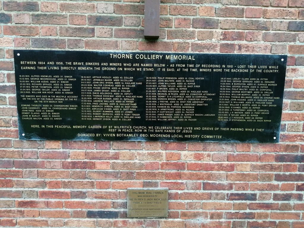
| Memorials | : | 0 |
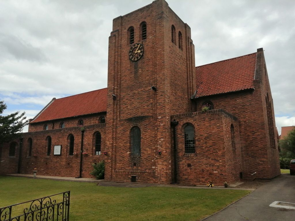
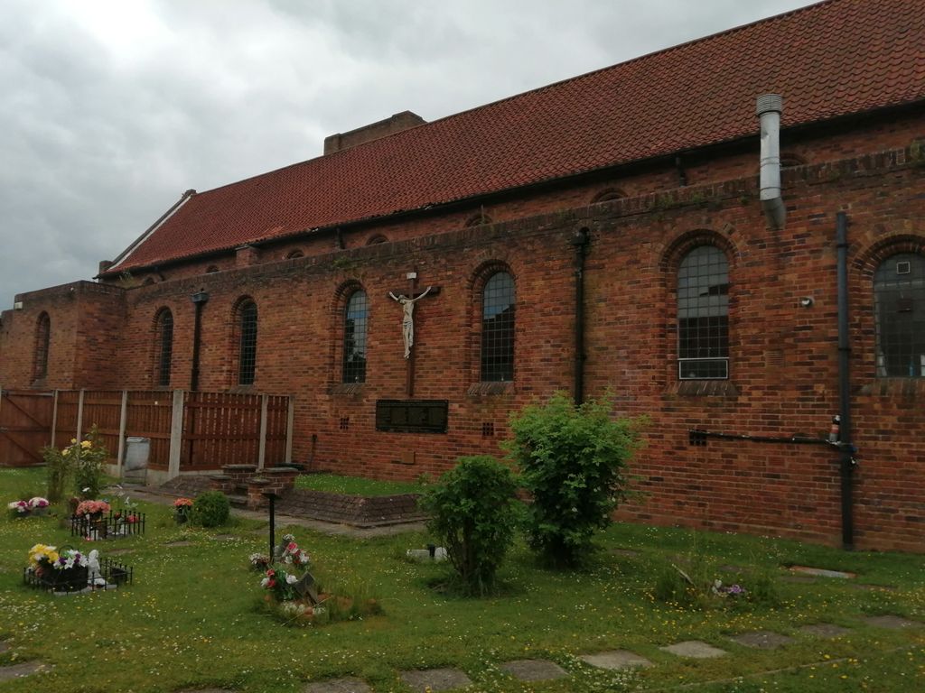
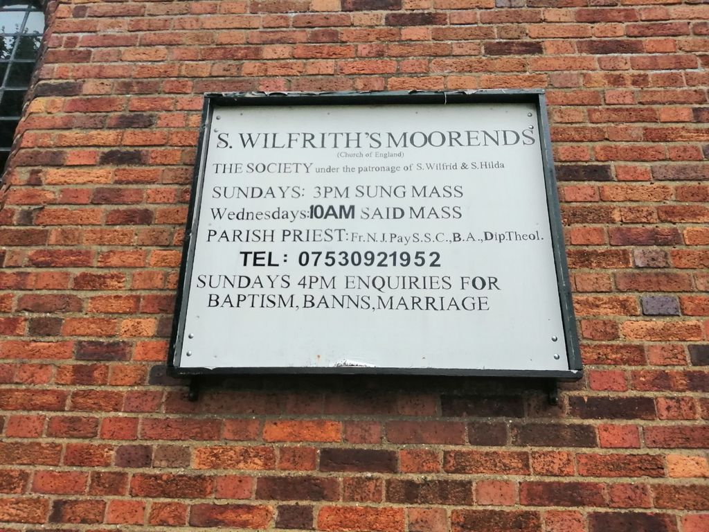
| Location | : | Moorends, Metropolitan Borough of Doncaster, England |
| Coordinate | : | 53.6306940, -0.9502050 |
frequently asked questions (FAQ):
-
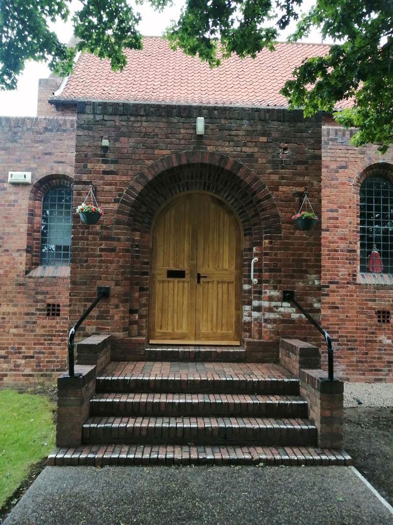
Where is St. Wilfrith's Churchyard?
St. Wilfrith's Churchyard is located at Moorends, Metropolitan Borough of Doncaster ,South Yorkshire ,England.
-
St. Wilfrith's Churchyard cemetery's updated grave count on graveviews.com?
0 memorials
-
Where are the coordinates of the St. Wilfrith's Churchyard?
Latitude: 53.6306940
Longitude: -0.9502050
Nearby Cemetories:
1. St. Nicholas Churchyard
Thorne, Metropolitan Borough of Doncaster, England
Coordinate: 53.6116500, -0.9580000
2. Thorne Cemetery
Thorne, Metropolitan Borough of Doncaster, England
Coordinate: 53.6084100, -0.9572000
3. St. Cuthbert's Churchyard
Fishlake, Metropolitan Borough of Doncaster, England
Coordinate: 53.6111344, -1.0094844
4. Stainforth Cemetery
Stainforth, Metropolitan Borough of Doncaster, England
Coordinate: 53.5952800, -1.0307440
5. St. Lawrence Churchyard
Hatfield, Metropolitan Borough of Doncaster, England
Coordinate: 53.5787230, -0.9999700
6. Holy Trinity Churchyard
Sykehouse, Metropolitan Borough of Doncaster, England
Coordinate: 53.6449289, -1.0492909
7. Hatfield Woodhouse
Hatfield, Metropolitan Borough of Doncaster, England
Coordinate: 53.5736500, -0.9855500
8. Hatfield Memorial Park
Hatfield, Metropolitan Borough of Doncaster, England
Coordinate: 53.5775464, -1.0013126
9. Holy Trinity Churchyard
East Cowick, East Riding of Yorkshire Unitary Authority, England
Coordinate: 53.6866220, -1.0000200
10. St Oswald Churchyard
Crowle, North Lincolnshire Unitary Authority, England
Coordinate: 53.6077330, -0.8353940
11. Crowle Baptist Church
Crowle, North Lincolnshire Unitary Authority, England
Coordinate: 53.6093970, -0.8317350
12. St. Mary's Churchyard
Kirk Bramwith, Metropolitan Borough of Doncaster, England
Coordinate: 53.5985711, -1.0637691
13. Crowle Cemetery
Crowle, North Lincolnshire Unitary Authority, England
Coordinate: 53.6090660, -0.8285680
14. St. John the Evangelist Churchyard
Goole, East Riding of Yorkshire Unitary Authority, England
Coordinate: 53.7024600, -0.8719260
15. St Mary Churchyard
Carlton, Selby District, England
Coordinate: 53.7088060, -1.0209800
16. St Peter & St Paul's Churchyard
Barnby Dun, Metropolitan Borough of Doncaster, England
Coordinate: 53.5807905, -1.0737583
17. St Mary Roman Catholic Church
Carlton, Selby District, England
Coordinate: 53.7111900, -1.0199300
18. St David Churchyard
Airmyn, East Riding of Yorkshire Unitary Authority, England
Coordinate: 53.7178030, -0.9016700
19. Carlton Cemetery
Carlton, Selby District, England
Coordinate: 53.7129500, -1.0199200
20. St. John's Churchyard
Fenwick, Metropolitan Borough of Doncaster, England
Coordinate: 53.6284191, -1.1091576
21. Drax Cemetery
Drax, Selby District, England
Coordinate: 53.7272540, -0.9875330
22. Goole Cemetery
Goole, East Riding of Yorkshire Unitary Authority, England
Coordinate: 53.7105940, -0.8513370
23. Friends Burial Ground
Drax, Selby District, England
Coordinate: 53.7291640, -0.9771490
24. St Bartholomews Churchyard
Eastoft, North Lincolnshire Unitary Authority, England
Coordinate: 53.6397700, -0.7823500