
| Memorials | : | 0 |
| Location | : | Widford, West Oxfordshire District, England |
| Coordinate | : | 51.8067780, -1.6047160 |
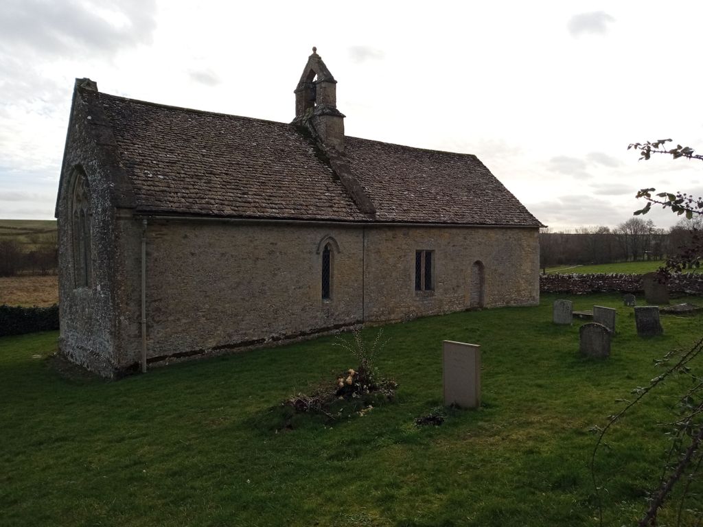
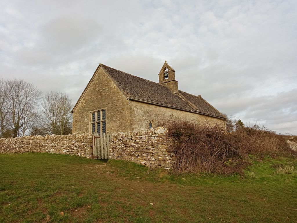
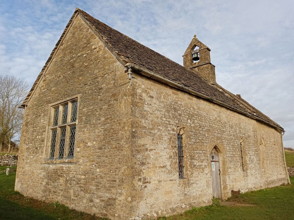
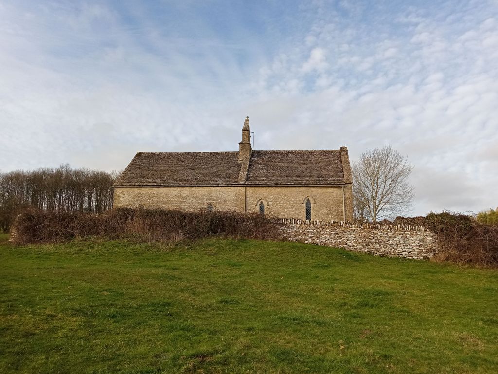
| Description | : | Beautifully situated in the Windrush valley, this tiny church is only accessible on foot. There is a small number of graves in the Churchyard. |
frequently asked questions (FAQ):
-
Where is St Oswald's Churchyard?
St Oswald's Churchyard is located at Widford, West Oxfordshire District ,Oxfordshire , OX18 4DXEngland.
-
St Oswald's Churchyard cemetery's updated grave count on graveviews.com?
0 memorials
-
Where are the coordinates of the St Oswald's Churchyard?
Latitude: 51.8067780
Longitude: -1.6047160
Nearby Cemetories:
1. St Mary Churchyard
Swinbrook, West Oxfordshire District, England
Coordinate: 51.8072090, -1.5954540
2. St Nicholas Parish Church
Asthall, West Oxfordshire District, England
Coordinate: 51.8003600, -1.5850500
3. St James The Great Churchyard
Fulbrook, West Oxfordshire District, England
Coordinate: 51.8153500, -1.6265430
4. Baptist Burial Ground
Burford, West Oxfordshire District, England
Coordinate: 51.8070150, -1.6338030
5. St. John the Baptist Churchyard
Burford, West Oxfordshire District, England
Coordinate: 51.8096490, -1.6341730
6. Burford Cemetery
Burford, West Oxfordshire District, England
Coordinate: 51.8084000, -1.6489600
7. Holy Rood Churchyard
Shilton, West Oxfordshire District, England
Coordinate: 51.7726519, -1.6142058
8. Holy Trinity Church
Witney, West Oxfordshire District, England
Coordinate: 51.7726500, -1.6142050
9. St. John The Evangelist Churchyard
Taynton, West Oxfordshire District, England
Coordinate: 51.8216040, -1.6621950
10. Saint Kenelm's Churchyard
Minster Lovell, West Oxfordshire District, England
Coordinate: 51.8000620, -1.5314550
11. St. Britius Churchyard
Brize Norton, West Oxfordshire District, England
Coordinate: 51.7662000, -1.5667000
12. St. Britius Churchyard Extension
Brize Norton, West Oxfordshire District, England
Coordinate: 51.7660800, -1.5662600
13. St. Mary's Churchyard
Westwell, West Oxfordshire District, England
Coordinate: 51.7886840, -1.6779678
14. Saint Michaels and All Angels Churchyard
Leafield, West Oxfordshire District, England
Coordinate: 51.8355550, -1.5390810
15. Saint Mary the Virgin Churchyard and Vaults
Shipton-under-Wychwood, West Oxfordshire District, England
Coordinate: 51.8597520, -1.5952810
16. Milton-under-Wychwood Friends Burial Ground
Milton-under-Wychwood, West Oxfordshire District, England
Coordinate: 51.8638040, -1.6109590
17. St. Peter's Churchyard
Little Barrington, Cotswold District, England
Coordinate: 51.8130930, -1.6983770
18. St Peter's Churchyard
Crawley, West Oxfordshire District, England
Coordinate: 51.8069700, -1.5100400
19. St. Simon-St. Jude
Milton-under-Wychwood, West Oxfordshire District, England
Coordinate: 51.8660230, -1.6170140
20. St John The Baptist
Curbridge, West Oxfordshire District, England
Coordinate: 51.7764570, -1.5203140
21. Milton-under-Wychwood Cemetery
Milton-under-Wychwood, West Oxfordshire District, England
Coordinate: 51.8684380, -1.6176370
22. Holy Trinity Churchyard
Ascott under Wychwood, West Oxfordshire District, England
Coordinate: 51.8660100, -1.5644700
23. Saint John the Baptist Church
Fifield, West Oxfordshire District, England
Coordinate: 51.8668460, -1.6536260
24. St. Peter's Churchyard
Alvescot, West Oxfordshire District, England
Coordinate: 51.7392910, -1.6046704