
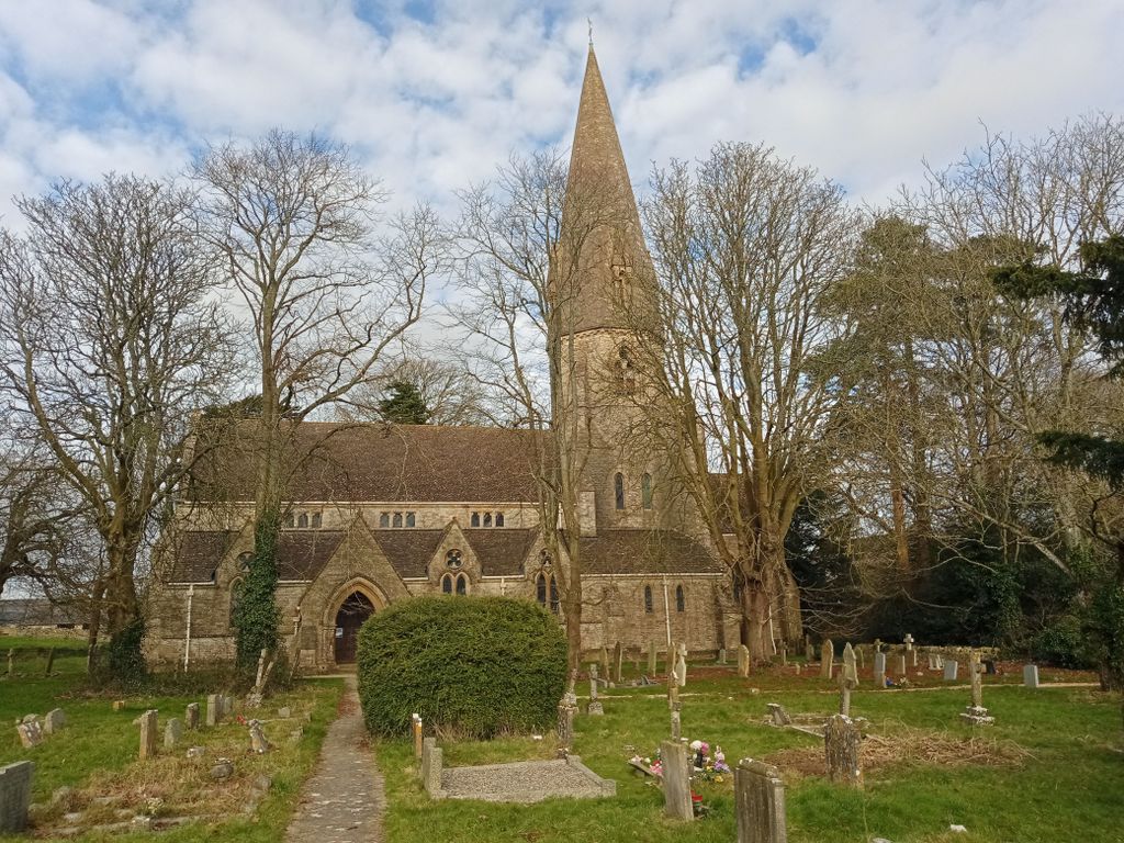
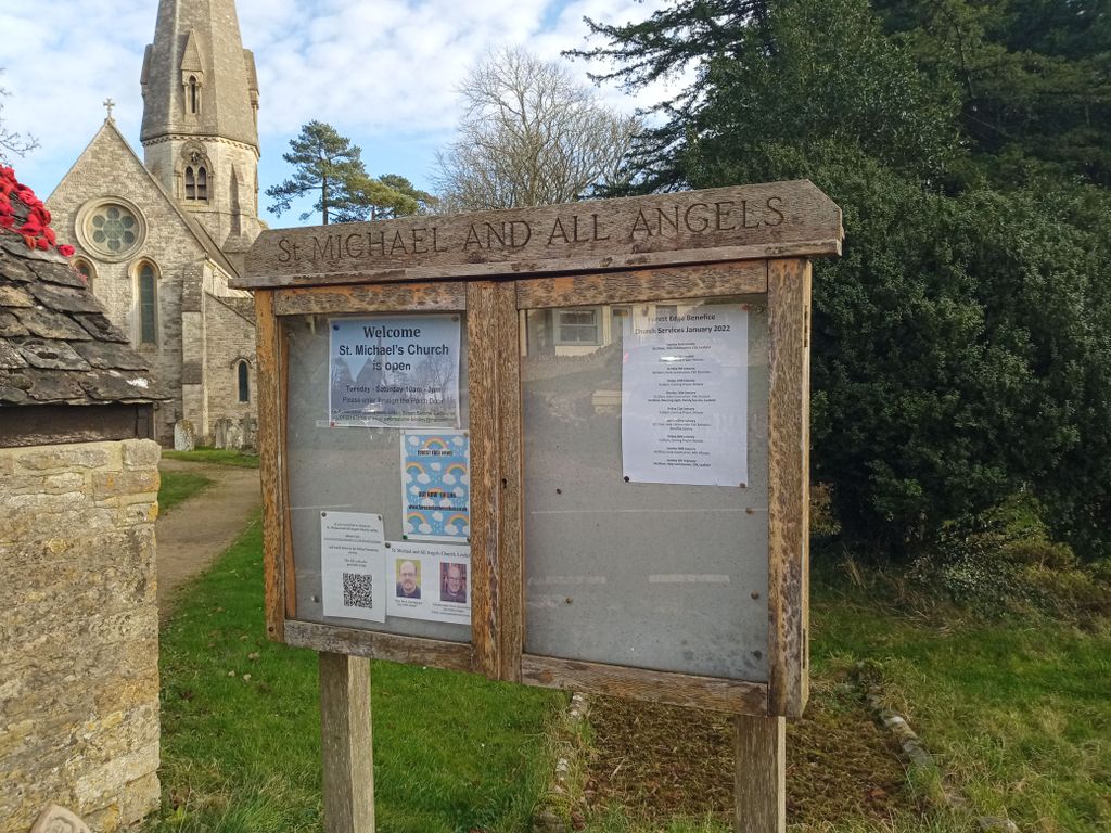
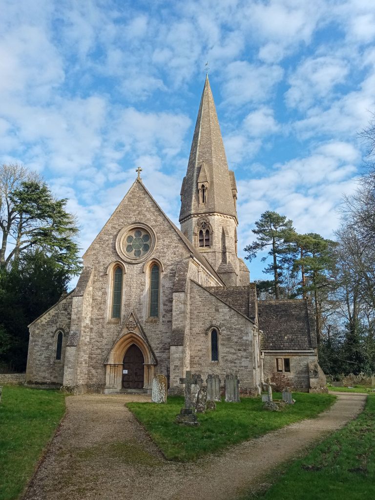
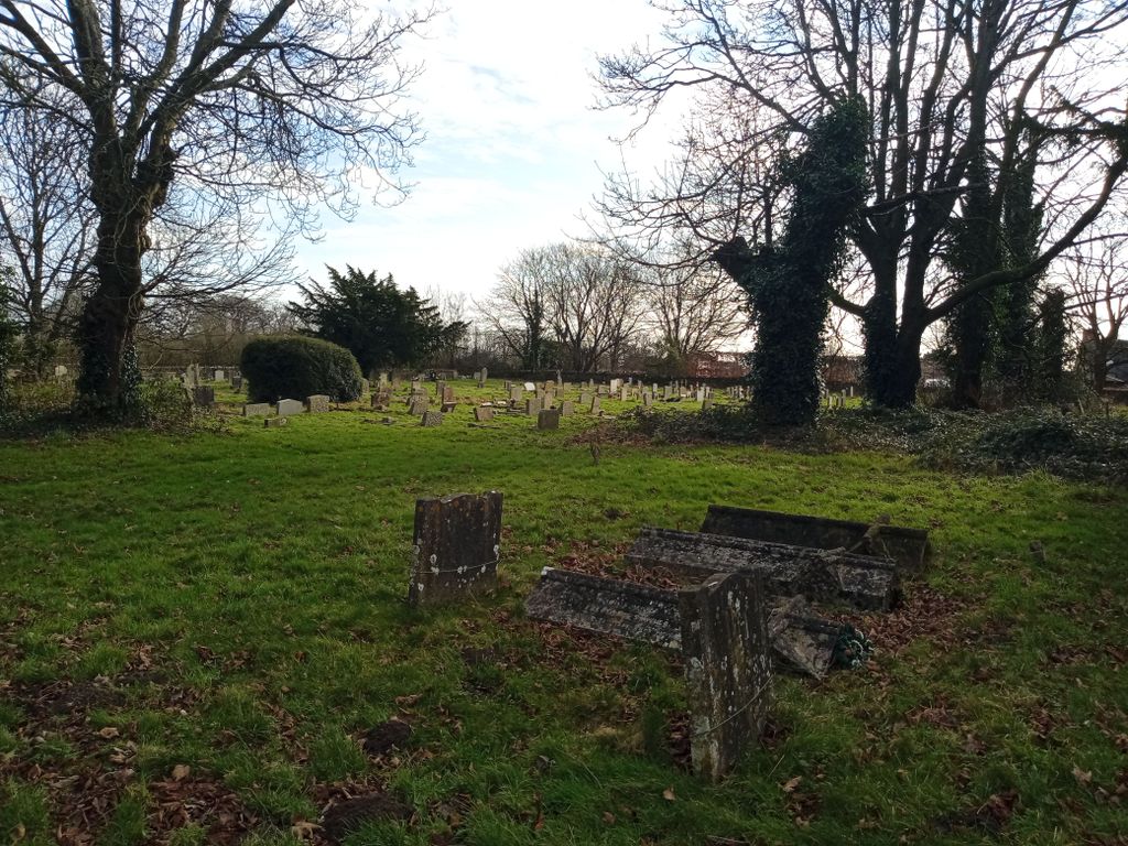
| Memorials | : | 13 |
| Location | : | Leafield, West Oxfordshire District, England |
| Coordinate | : | 51.8355550, -1.5390810 |
frequently asked questions (FAQ):
-
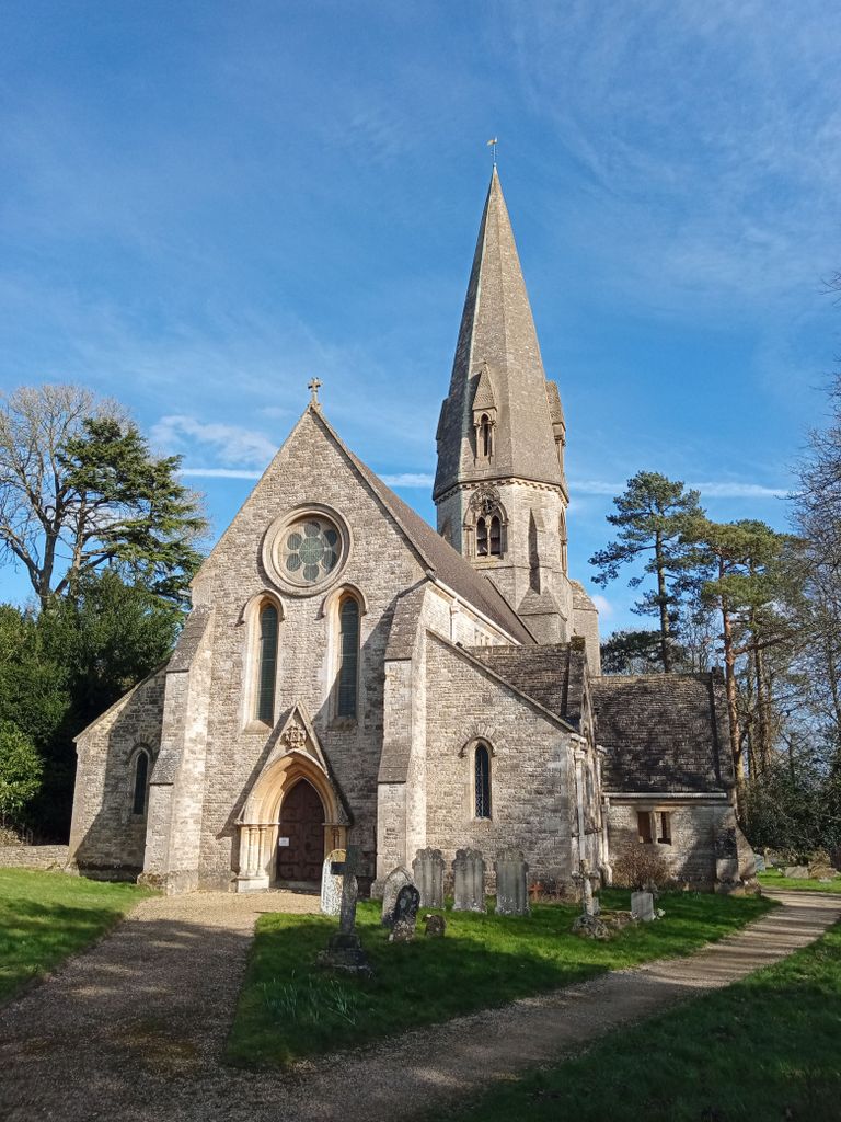
Where is Saint Michaels and All Angels Churchyard?
Saint Michaels and All Angels Churchyard is located at Leafield, West Oxfordshire District ,Oxfordshire , OX29 9PGEngland.
-
Saint Michaels and All Angels Churchyard cemetery's updated grave count on graveviews.com?
13 memorials
-
Where are the coordinates of the Saint Michaels and All Angels Churchyard?
Latitude: 51.8355550
Longitude: -1.5390810
Nearby Cemetories:
1. St Peter's Churchyard
Crawley, West Oxfordshire District, England
Coordinate: 51.8069700, -1.5100400
2. St James's Church
Ramsden, West Oxfordshire District, England
Coordinate: 51.8340622, -1.4841064
3. Holy Trinity Churchyard
Ascott under Wychwood, West Oxfordshire District, England
Coordinate: 51.8660100, -1.5644700
4. Saint Kenelm's Churchyard
Minster Lovell, West Oxfordshire District, England
Coordinate: 51.8000620, -1.5314550
5. Holy Trinity Churchyard
Finstock, West Oxfordshire District, England
Coordinate: 51.8459910, -1.4801260
6. St John the Evangelist
Hailey, West Oxfordshire District, England
Coordinate: 51.8107740, -1.4879260
7. Saint Mary the Virgin Churchyard and Vaults
Shipton-under-Wychwood, West Oxfordshire District, England
Coordinate: 51.8597520, -1.5952810
8. All Saints Churchyard
Shorthampton, West Oxfordshire District, England
Coordinate: 51.8785411, -1.5245927
9. St Mary Churchyard
Swinbrook, West Oxfordshire District, England
Coordinate: 51.8072090, -1.5954540
10. St Nicholas Parish Church
Asthall, West Oxfordshire District, England
Coordinate: 51.8003600, -1.5850500
11. St. Mary the Virgin Churchyard
Charlbury, West Oxfordshire District, England
Coordinate: 51.8722050, -1.4846970
12. St Oswald's Churchyard
Widford, West Oxfordshire District, England
Coordinate: 51.8067780, -1.6047160
13. Charlbury Cemetery
Charlbury, West Oxfordshire District, England
Coordinate: 51.8753600, -1.4855300
14. Milton-under-Wychwood Friends Burial Ground
Milton-under-Wychwood, West Oxfordshire District, England
Coordinate: 51.8638040, -1.6109590
15. Tower Hill Cemetery
Witney, West Oxfordshire District, England
Coordinate: 51.7852950, -1.4999610
16. St. Simon-St. Jude
Milton-under-Wychwood, West Oxfordshire District, England
Coordinate: 51.8660230, -1.6170140
17. Woodgreen (Holy Trinity) Churchyard
West Oxfordshire District, England
Coordinate: 51.7918400, -1.4793500
18. St James The Great Churchyard
Fulbrook, West Oxfordshire District, England
Coordinate: 51.8153500, -1.6265430
19. Milton-under-Wychwood Cemetery
Milton-under-Wychwood, West Oxfordshire District, England
Coordinate: 51.8684380, -1.6176370
20. St John The Baptist
Curbridge, West Oxfordshire District, England
Coordinate: 51.7764570, -1.5203140
21. All Saints Churchyard
Spelsbury, West Oxfordshire District, England
Coordinate: 51.8909988, -1.4941750
22. St. Nicholas Church
Chadlington, West Oxfordshire District, England
Coordinate: 51.8959090, -1.5160180
23. St Mary Churchyard
North Leigh, West Oxfordshire District, England
Coordinate: 51.8201820, -1.4396170
24. St Mary Churchyard
Cogges, West Oxfordshire District, England
Coordinate: 51.7839280, -1.4782010