
| Memorials | : | 0 |
| Location | : | Westwell, West Oxfordshire District, England |
| Phone | : | 01993 822772 |
| Coordinate | : | 51.7886840, -1.6779678 |
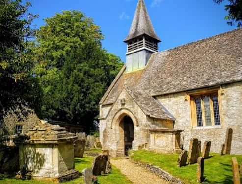
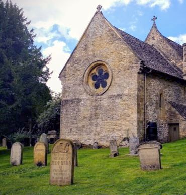
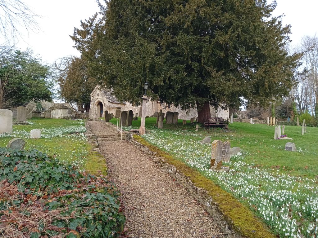
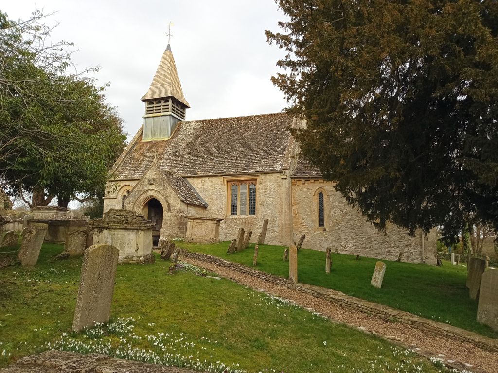
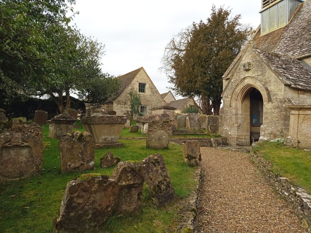
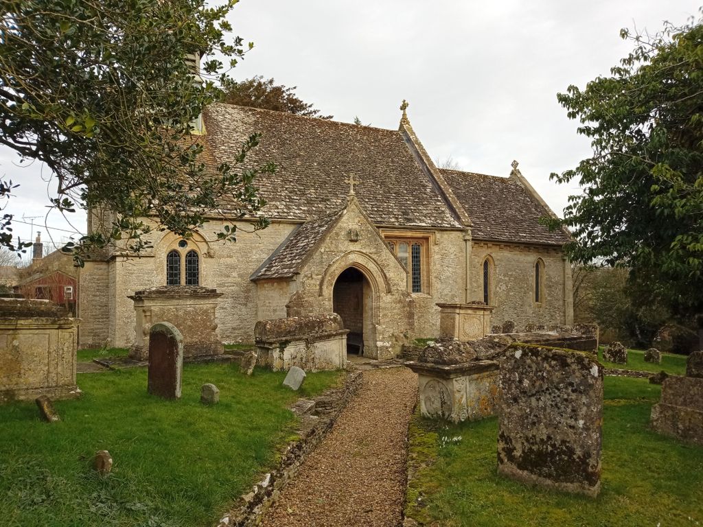
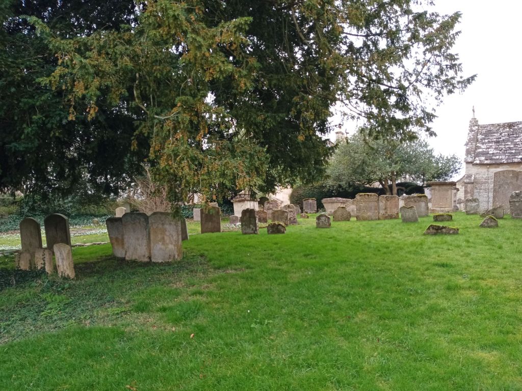
| Description | : | The Church of Saint Mary's is the parish church for the Church of England for the small village of Westwell in Oxfordshire. Today, several surrounding villages are included as a part of the congregation. Saint Mary's was built in the 12th century and has a churchyard cemetery. The building is listed as a Grade I historical site. A Saxon Church was on this site and an altar slab from that church was found under the chancel of the current building. The village is about 2 miles southwest of the market town Burford in Oxfordshire. It is... Read More |
frequently asked questions (FAQ):
-
Where is St. Mary's Churchyard?
St. Mary's Churchyard is located at The Hill Westwell, West Oxfordshire District ,Oxfordshire , OX18 4JTEngland.
-
St. Mary's Churchyard cemetery's updated grave count on graveviews.com?
0 memorials
-
Where are the coordinates of the St. Mary's Churchyard?
Latitude: 51.7886840
Longitude: -1.6779678
Nearby Cemetories:
1. Burford Cemetery
Burford, West Oxfordshire District, England
Coordinate: 51.8084000, -1.6489600
2. St. Peter's Churchyard
Little Barrington, Cotswold District, England
Coordinate: 51.8130930, -1.6983770
3. Baptist Burial Ground
Burford, West Oxfordshire District, England
Coordinate: 51.8070150, -1.6338030
4. St. John the Baptist Churchyard
Burford, West Oxfordshire District, England
Coordinate: 51.8096490, -1.6341730
5. St. John The Evangelist Churchyard
Taynton, West Oxfordshire District, England
Coordinate: 51.8216040, -1.6621950
6. St James The Great Churchyard
Fulbrook, West Oxfordshire District, England
Coordinate: 51.8153500, -1.6265430
7. Holy Rood Churchyard
Shilton, West Oxfordshire District, England
Coordinate: 51.7726519, -1.6142058
8. Holy Trinity Church
Witney, West Oxfordshire District, England
Coordinate: 51.7726500, -1.6142050
9. St. Andrew's Churchyard
Eastleach, Cotswold District, England
Coordinate: 51.7465120, -1.7087670
10. St Oswald's Churchyard
Widford, West Oxfordshire District, England
Coordinate: 51.8067780, -1.6047160
11. St Peter's Churchyard
Filkins, West Oxfordshire District, England
Coordinate: 51.7358700, -1.6578250
12. St Mary Churchyard
Swinbrook, West Oxfordshire District, England
Coordinate: 51.8072090, -1.5954540
13. St Georges Churchyard
Kencot, West Oxfordshire District, England
Coordinate: 51.7407160, -1.6330900
14. St Nicholas Parish Church
Asthall, West Oxfordshire District, England
Coordinate: 51.8003600, -1.5850500
15. Sherborne Churchyard extension
Sherborne, Cotswold District, England
Coordinate: 51.8308450, -1.7536600
16. St Mary Magdalene Churchyard
Sherborne, Cotswold District, England
Coordinate: 51.8308380, -1.7562570
17. St. Peter's Churchyard
Alvescot, West Oxfordshire District, England
Coordinate: 51.7392910, -1.6046704
18. St. John the Baptist Churchyard
Great Rissington, Cotswold District, England
Coordinate: 51.8526130, -1.7180490
19. Saint Matthew's Churchyard
Langford, West Oxfordshire District, England
Coordinate: 51.7209390, -1.6405280
20. St. Britius Churchyard
Brize Norton, West Oxfordshire District, England
Coordinate: 51.7662000, -1.5667000
21. St. Britius Churchyard Extension
Brize Norton, West Oxfordshire District, England
Coordinate: 51.7660800, -1.5662600
22. St. Nicholas Churchyard
Hatherop, Cotswold District, England
Coordinate: 51.7444700, -1.7780800
23. St. Nicholas' Churchyard
Hatherop, Cotswold District, England
Coordinate: 51.7443000, -1.7786600
24. Saint Mary's Churchyard
Black Bourton, West Oxfordshire District, England
Coordinate: 51.7360520, -1.5864600