
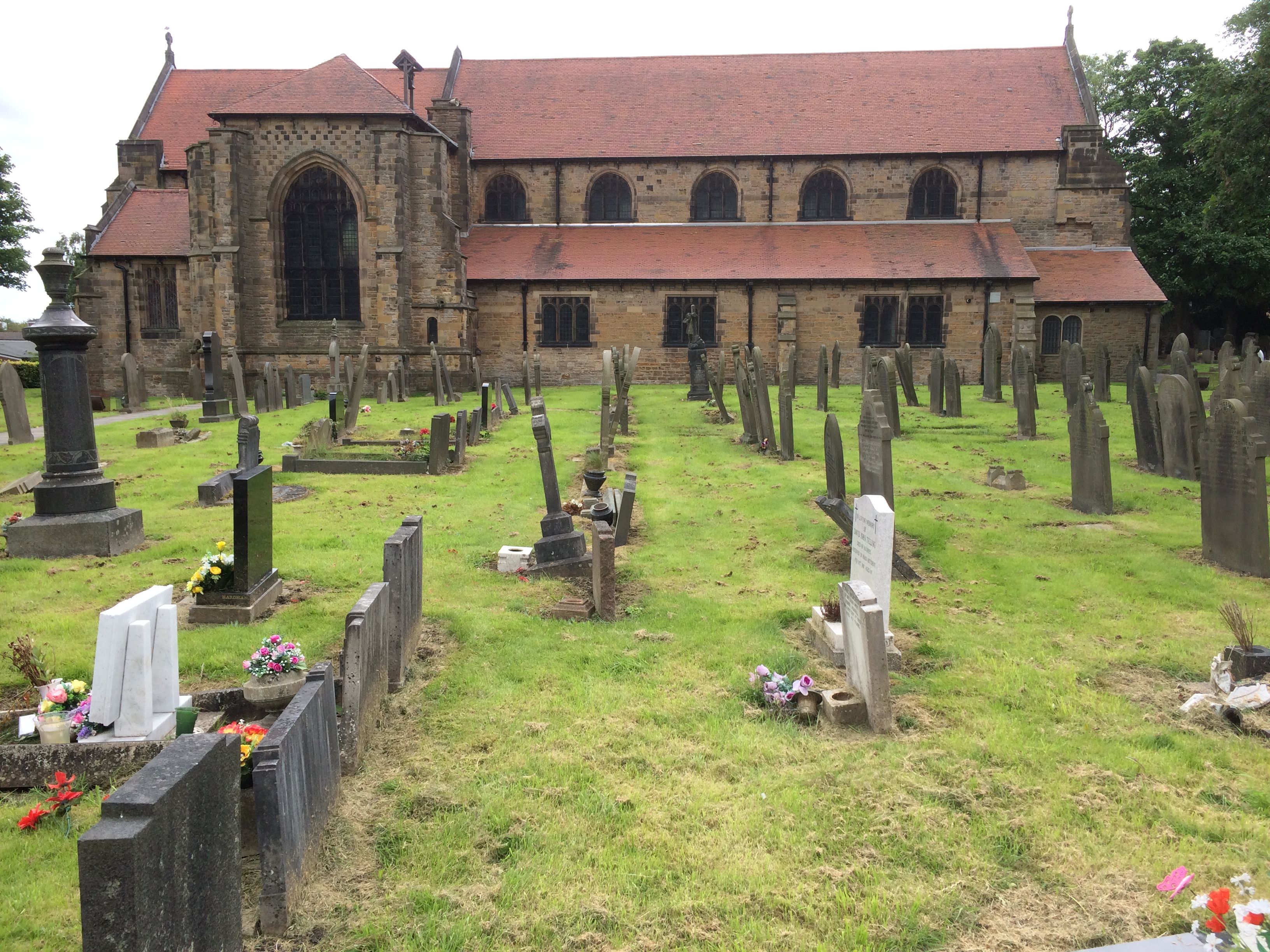
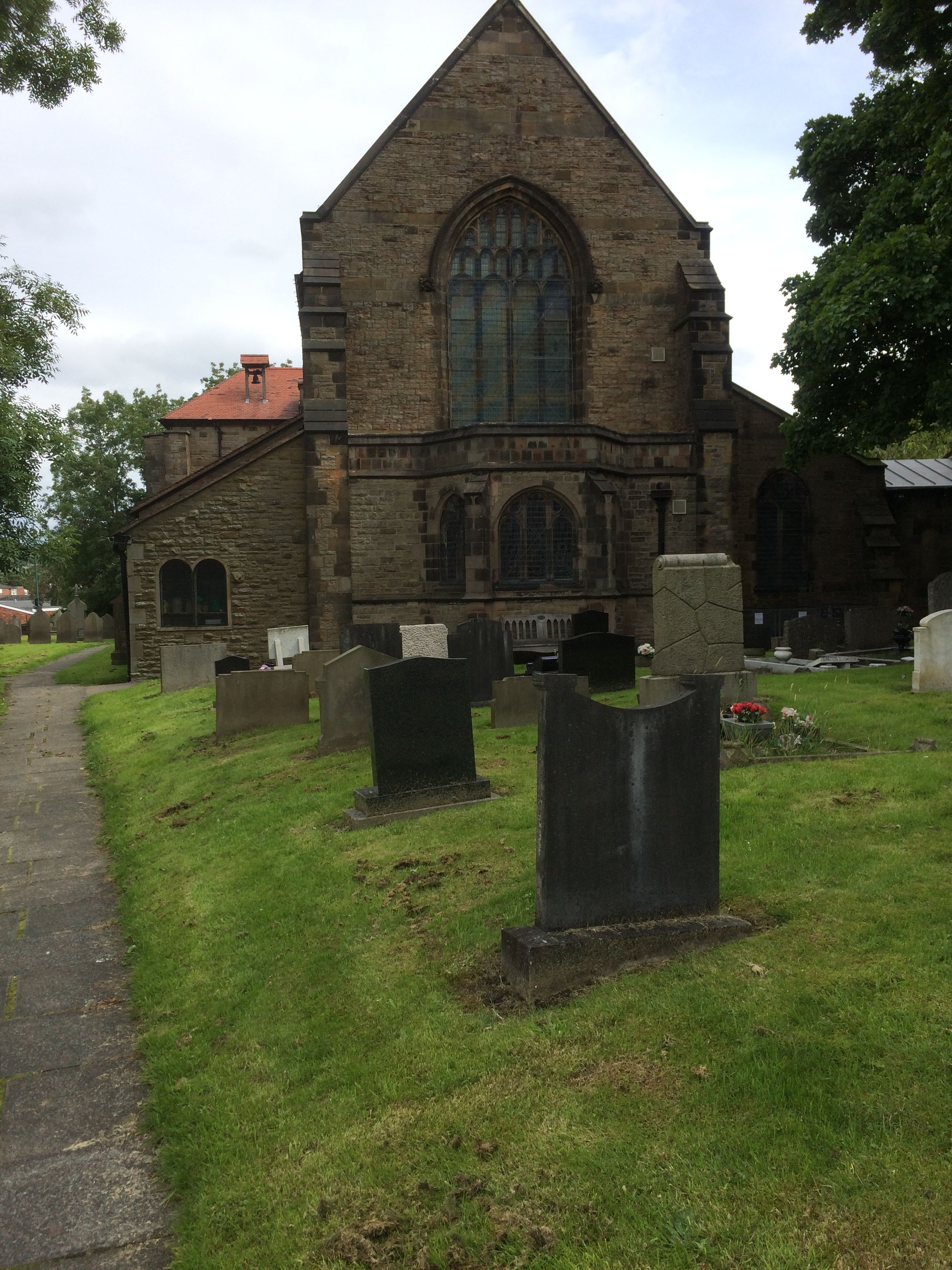
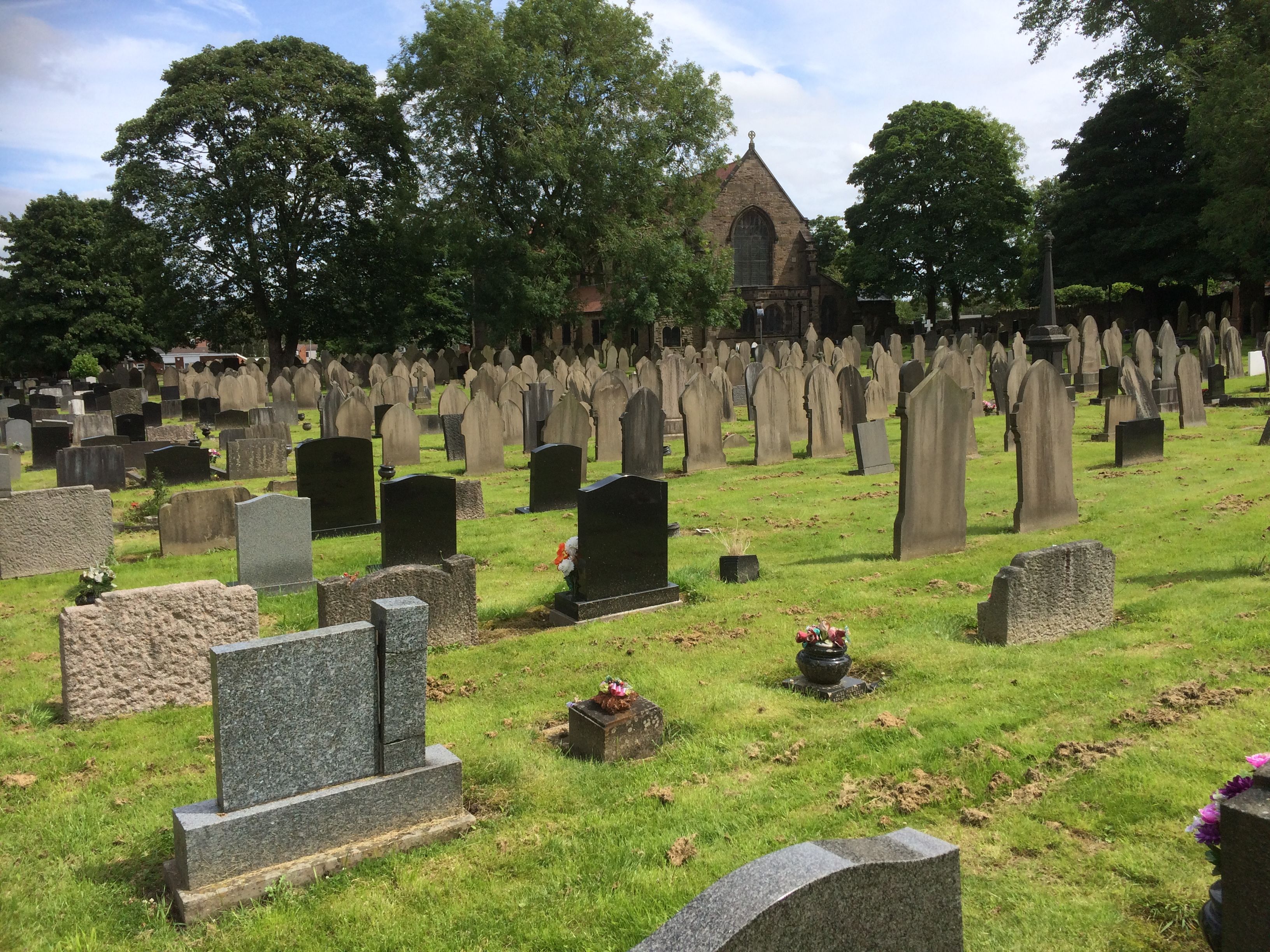
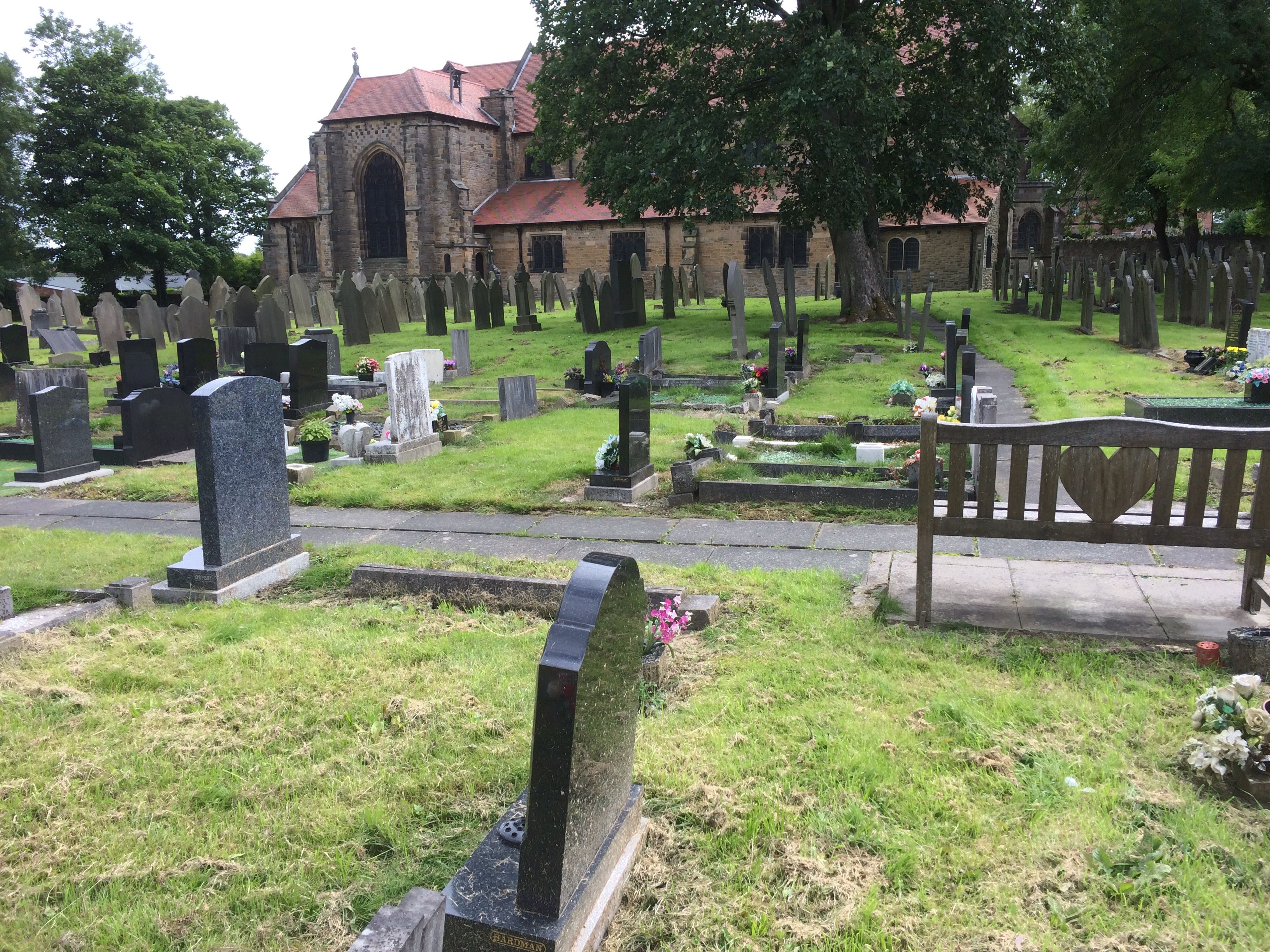
| Memorials | : | 508 |
| Location | : | Skelmersdale, West Lancashire District, England |
| Coordinate | : | 53.5502050, -2.7929450 |
frequently asked questions (FAQ):
-
Where is St. Paul's Churchyard?
St. Paul's Churchyard is located at Church Road Skelmersdale, West Lancashire District ,Lancashire , WN8 8NGEngland.
-
St. Paul's Churchyard cemetery's updated grave count on graveviews.com?
508 memorials
-
Where are the coordinates of the St. Paul's Churchyard?
Latitude: 53.5502050
Longitude: -2.7929450

Nearby Cemetories:
1. Skelmersdale Cemetery
Skelmersdale, West Lancashire District, England
Coordinate: 53.5446820, -2.8131570
2. St. Richard's Roman Catholic Cemetery
Skelmersdale, West Lancashire District, England
Coordinate: 53.5442920, -2.8143760
3. St. Michael's Churchyard
Dalton, West Lancashire District, England
Coordinate: 53.5670360, -2.7640390
4. Holy Trinity Church
Bickerstaffe, West Lancashire District, England
Coordinate: 53.5318400, -2.8383400
5. Lathom Park Chapel
Lathom, West Lancashire District, England
Coordinate: 53.5782510, -2.8216720
6. St. James Churchyard
Westhead, West Lancashire District, England
Coordinate: 53.5582324, -2.8527492
7. St. Joseph's College
Up Holland, West Lancashire District, England
Coordinate: 53.5525740, -2.7307890
8. Christchurch Churchyard
Newburgh, West Lancashire District, England
Coordinate: 53.5876845, -2.7842440
9. Our Lady and All Saints Roman Catholic
Parbold, West Lancashire District, England
Coordinate: 53.5911900, -2.7644350
10. St Thomas the Martyr Churchyard
Up Holland, West Lancashire District, England
Coordinate: 53.5402980, -2.7195920
11. Christ Church Churchyard
Parbold, West Lancashire District, England
Coordinate: 53.5908500, -2.7531900
12. St John The Evangelist Roman Catholic Church
Burscough, West Lancashire District, England
Coordinate: 53.5902152, -2.8424163
13. Burscough Priory
Burscough, West Lancashire District, England
Coordinate: 53.5830270, -2.8565030
14. All Saints Church
Rainford, Metropolitan Borough of St Helens, England
Coordinate: 53.5000210, -2.7870990
15. Friends Burial Ground
Bickerstaffe, West Lancashire District, England
Coordinate: 53.5347720, -2.8748780
16. St James Roman Catholic Churchyard
Orrell, Metropolitan Borough of Wigan, England
Coordinate: 53.5300000, -2.7140000
17. Salem Churchyard
Orrell, Metropolitan Borough of Wigan, England
Coordinate: 53.5331572, -2.7107046
18. St Peter and St Paul Churchyard
Ormskirk, West Lancashire District, England
Coordinate: 53.5692640, -2.8877690
19. St John the Baptist Churchyard
Burscough, West Lancashire District, England
Coordinate: 53.6042760, -2.8401390
20. Saint Anne's Roman Catholic Church Cemetery
Ormskirk, West Lancashire District, England
Coordinate: 53.5626520, -2.8935560
21. West Lancashire Cemetery and Crematorium
Burscough, West Lancashire District, England
Coordinate: 53.5875500, -2.8820300
22. Christ Churchyard
Aughton, West Lancashire District, England
Coordinate: 53.5583510, -2.9046990
23. St John the Divine Churchyard
Pemberton, Metropolitan Borough of Wigan, England
Coordinate: 53.5373860, -2.6823840
24. St. Joseph's Roman Catholic Church Cemetery
Wrightington, West Lancashire District, England
Coordinate: 53.5923300, -2.7010200