
| Memorials | : | 0 |
| Location | : | Rainford, Metropolitan Borough of St Helens, England |
| Coordinate | : | 53.5000210, -2.7870990 |
frequently asked questions (FAQ):
-
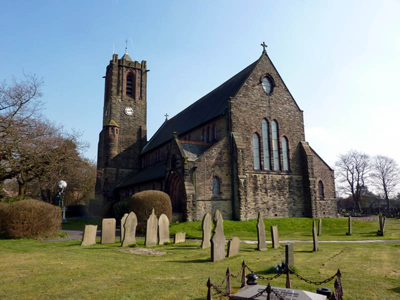
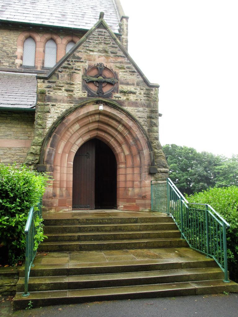
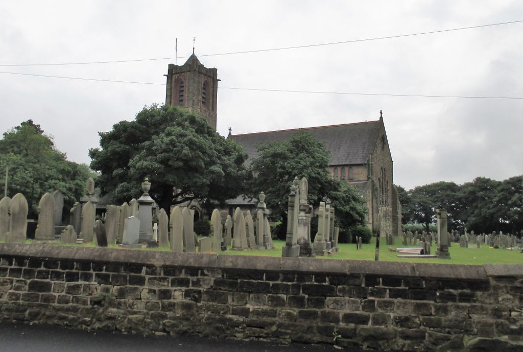
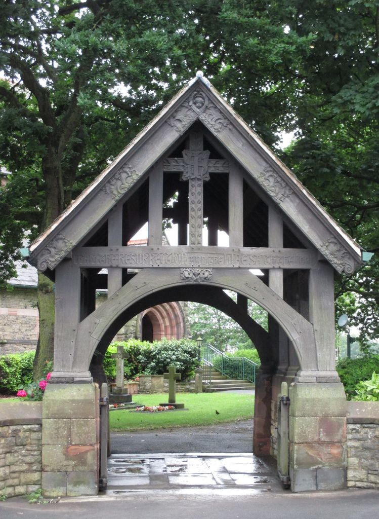
Where is All Saints Church?
All Saints Church is located at Rainford, Metropolitan Borough of St Helens ,Merseyside ,England.
-
All Saints Church cemetery's updated grave count on graveviews.com?
0 memorials
-
Where are the coordinates of the All Saints Church?
Latitude: 53.5000210
Longitude: -2.7870990
Nearby Cemetories:
1. GreenAcres Cemetery
Rainford, Metropolitan Borough of St Helens, England
Coordinate: 53.4713530, -2.8064280
2. St. Helen's Cemetery and Crematorium
St Helens, Metropolitan Borough of St Helens, England
Coordinate: 53.4678993, -2.7607000
3. Windleshaw Chantry
St Helens, Metropolitan Borough of St Helens, England
Coordinate: 53.4672417, -2.7550773
4. St Mary Roman Catholic Churchyard
Billinge, Metropolitan Borough of St Helens, England
Coordinate: 53.4909850, -2.7180090
5. Holy Trinity Church
Bickerstaffe, West Lancashire District, England
Coordinate: 53.5318400, -2.8383400
6. Christ Church Churchyard
Eccleston, Metropolitan Borough of St Helens, England
Coordinate: 53.4542560, -2.7778900
7. St. Richard's Roman Catholic Cemetery
Skelmersdale, West Lancashire District, England
Coordinate: 53.5442920, -2.8143760
8. Skelmersdale Cemetery
Skelmersdale, West Lancashire District, England
Coordinate: 53.5446820, -2.8131570
9. St. Paul's Churchyard
Skelmersdale, West Lancashire District, England
Coordinate: 53.5502050, -2.7929450
10. St James Roman Catholic Churchyard
Orrell, Metropolitan Borough of Wigan, England
Coordinate: 53.5300000, -2.7140000
11. Salem Churchyard
Orrell, Metropolitan Borough of Wigan, England
Coordinate: 53.5331572, -2.7107046
12. St Thomas the Martyr Churchyard
Up Holland, West Lancashire District, England
Coordinate: 53.5402980, -2.7195920
13. Friends Meeting House, Hardshaw, St Helens
St Helens, Metropolitan Borough of St Helens, England
Coordinate: 53.4518340, -2.7320414
14. St. Mary's Churchyard
Knowsley, Metropolitan Borough of Knowsley, England
Coordinate: 53.4561960, -2.8528580
15. St. Joseph's College
Up Holland, West Lancashire District, England
Coordinate: 53.5525740, -2.7307890
16. Friends Burial Ground
Bickerstaffe, West Lancashire District, England
Coordinate: 53.5347720, -2.8748780
17. St. Chad Churchyard
Kirkby, Metropolitan Borough of Knowsley, England
Coordinate: 53.4842890, -2.8930700
18. St Mark Churchyard
Haydock, Metropolitan Borough of St Helens, England
Coordinate: 53.4658540, -2.6892980
19. St. Michael's Churchyard
Dalton, West Lancashire District, England
Coordinate: 53.5670360, -2.7640390
20. St Peter's of Parr Churchyard
Parr, Metropolitan Borough of St Helens, England
Coordinate: 53.4543745, -2.7009772
21. St. James Churchyard
Westhead, West Lancashire District, England
Coordinate: 53.5582324, -2.8527492
22. Holy Trinity Churchyard
Ashton-In-Makerfield, Metropolitan Borough of Wigan, England
Coordinate: 53.4989280, -2.6688000
23. St. Mary the Virgin Churchyard
Prescot, Metropolitan Borough of Knowsley, England
Coordinate: 53.4284600, -2.8067000
24. St John the Divine Churchyard
Pemberton, Metropolitan Borough of Wigan, England
Coordinate: 53.5373860, -2.6823840