
| Memorials | : | 0 |
| Location | : | Brentwood, Brentwood Borough, England |
| Coordinate | : | 51.6468925, 0.2628140 |
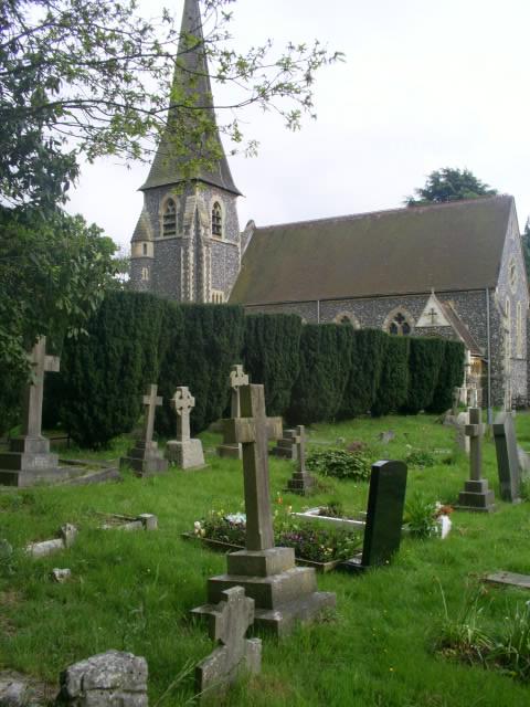
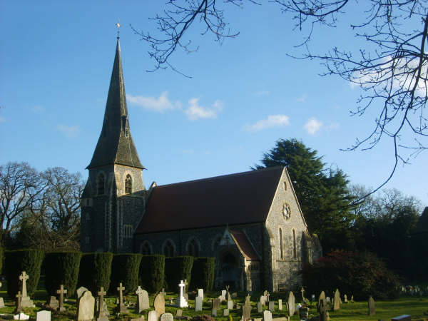
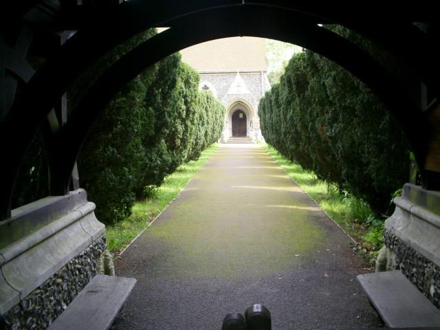
| Description | : | Bentley Common is a tiny hamlet near Brentwood in Essex. The church of St Paul stands in Mores Lane , Bentley Common , Essex , CM145RZ |
frequently asked questions (FAQ):
-
Where is St Paul Bentley Common Churchyard?
St Paul Bentley Common Churchyard is located at Mores Lane , Bentley Common , Brentwood, Brentwood Borough ,Essex , CM14 5RZEngland.
-
St Paul Bentley Common Churchyard cemetery's updated grave count on graveviews.com?
0 memorials
-
Where are the coordinates of the St Paul Bentley Common Churchyard?
Latitude: 51.6468925
Longitude: 0.2628140
Nearby Cemetories:
1. Bentley Cemetery and Crematorium
Brentwood Borough, England
Coordinate: 51.6424381, 0.2740605
2. Brentwood Jewish Cemetery
Coxtie Green, Brentwood Borough, England
Coordinate: 51.6420580, 0.2488660
3. St. Nicholas Churchyard
Kelvedon Hatch, Brentwood Borough, England
Coordinate: 51.6675310, 0.2674380
4. St Peter Churchyard
South Weald, Brentwood Borough, England
Coordinate: 51.6215858, 0.2684350
5. St Thomas the Apostle Churchyard
Navestock, Brentwood Borough, England
Coordinate: 51.6630500, 0.2259120
6. St Thomas Churchyard
Noak Hill, London Borough of Havering, England
Coordinate: 51.6236572, 0.2246620
7. London Road Cemetery
Brentwood, Brentwood Borough, England
Coordinate: 51.6169890, 0.2901580
8. St Thomas of Canterbury Churchyard
Brentwood, Brentwood Borough, England
Coordinate: 51.6196970, 0.3046240
9. St Mary the Virgin Churchyard
Shenfield, Brentwood Borough, England
Coordinate: 51.6320590, 0.3185650
10. Brentwood Cathedral Burial Grounds
Brentwood, Brentwood Borough, England
Coordinate: 51.6196720, 0.3064440
11. Lorne Road Cemetery
Brentwood, Brentwood Borough, England
Coordinate: 51.6107450, 0.2894590
12. Lorne Road Cemetery
Great Warley, Brentwood Borough, England
Coordinate: 51.6091530, 0.2969270
13. St. Peter and St. Paul Churchyard
Stondon Massey, Brentwood Borough, England
Coordinate: 51.6910510, 0.2738590
14. Woodman Road Cemetery
Great Warley, Brentwood Borough, England
Coordinate: 51.6084860, 0.3060510
15. St Margaret Churchyard
Stanford Rivers, Epping Forest District, England
Coordinate: 51.6856990, 0.2177360
16. St. John the Evangelist Churchyard
Havering-atte-Bower, London Borough of Havering, England
Coordinate: 51.6161750, 0.1823690
17. St Mary Churchyard
Stapleford Abbotts, Epping Forest District, England
Coordinate: 51.6438780, 0.1678320
18. St Mary the Virgin Churchyard
Stapleford Tawney, Epping Forest District, England
Coordinate: 51.6698230, 0.1719070
19. St Andrew Churchyard
Greensted, Epping Forest District, England
Coordinate: 51.7044040, 0.2255110
20. Ongar Town Cemetery
Ongar, Epping Forest District, England
Coordinate: 51.7083700, 0.2460300
21. St Mary the Virgin Churchyard
Great Warley, Brentwood Borough, England
Coordinate: 51.5863490, 0.2920150
22. St Mary the Virgin Churchyard
High Ongar, Epping Forest District, England
Coordinate: 51.7107790, 0.2641610
23. All Saints Churchyard
Hutton, Brentwood Borough, England
Coordinate: 51.6241150, 0.3608210
24. St Nicholas Churchyard
Ingrave, Brentwood Borough, England
Coordinate: 51.6035800, 0.3425560