
| Memorials | : | 78 |
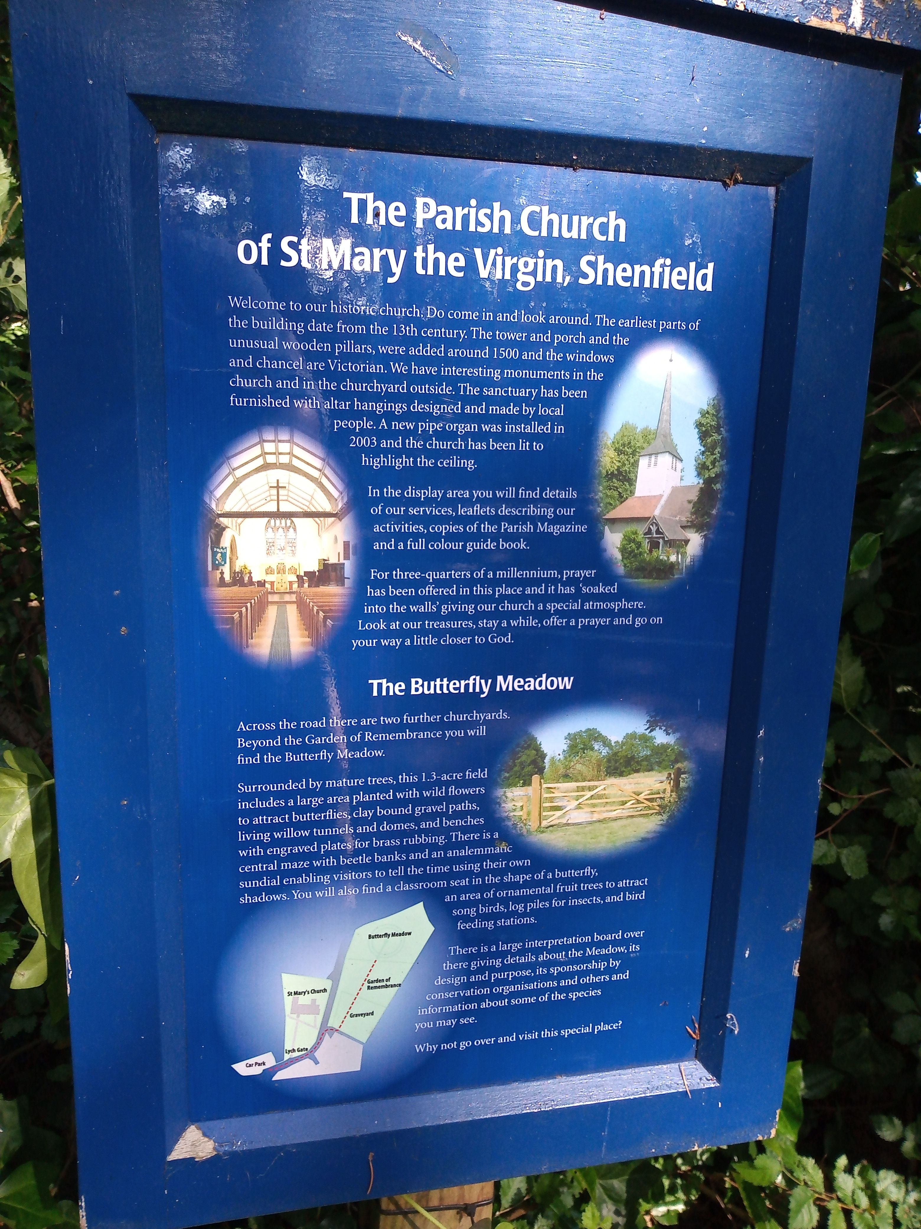
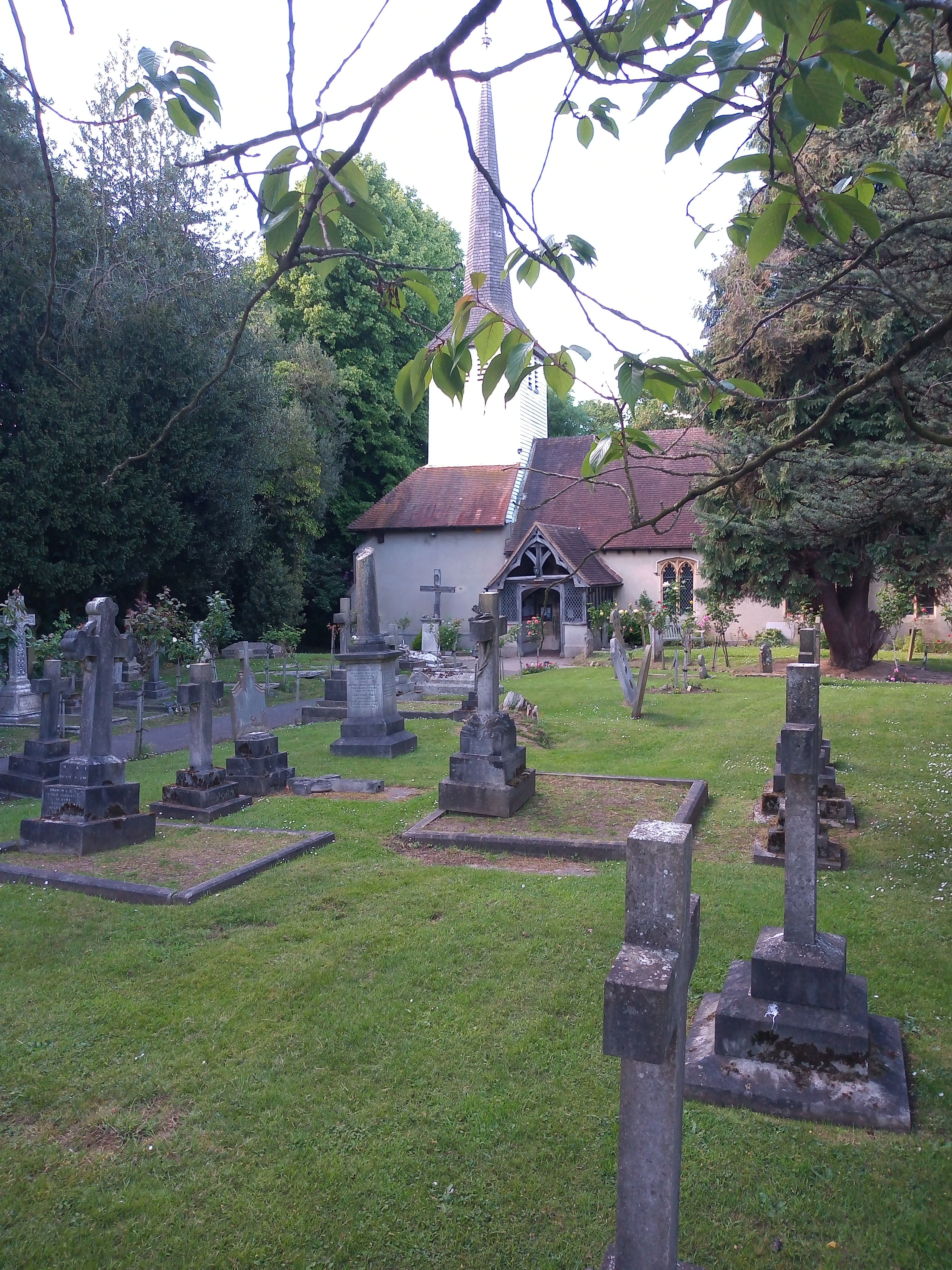
| Location | : | Shenfield, Brentwood Borough, England |
| Coordinate | : | 51.6320590, 0.3185650 |
frequently asked questions (FAQ):
-
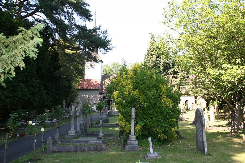
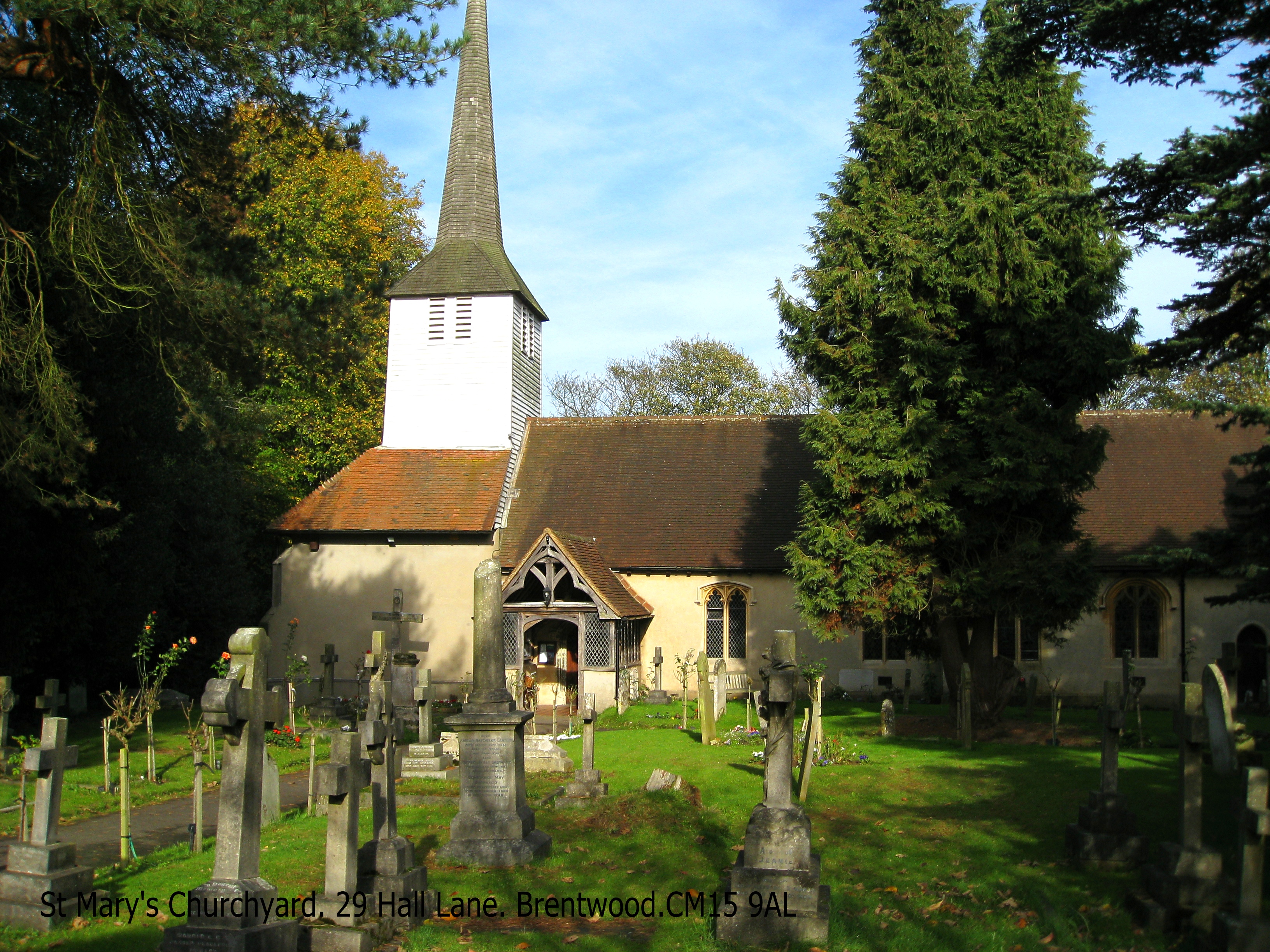
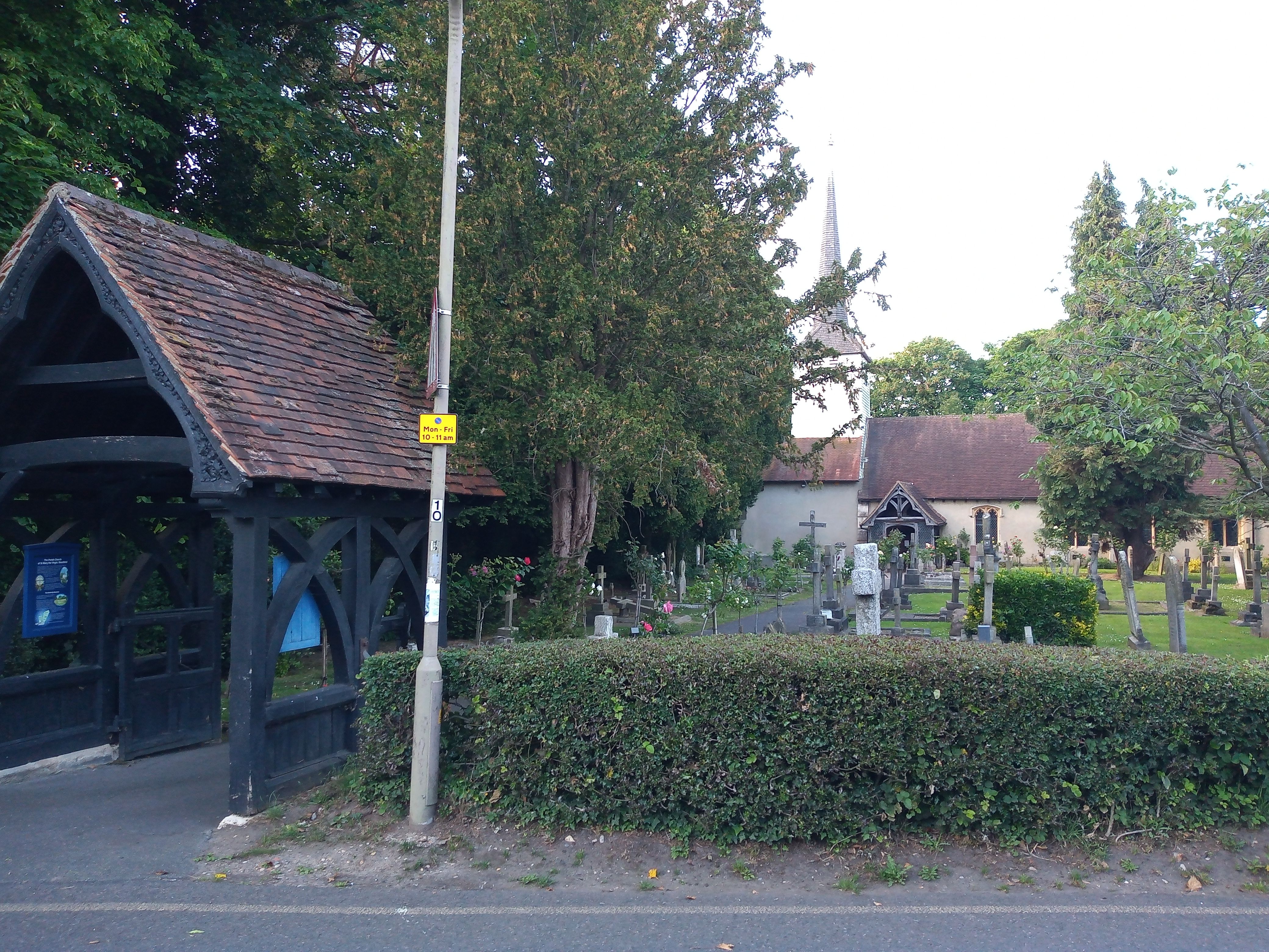
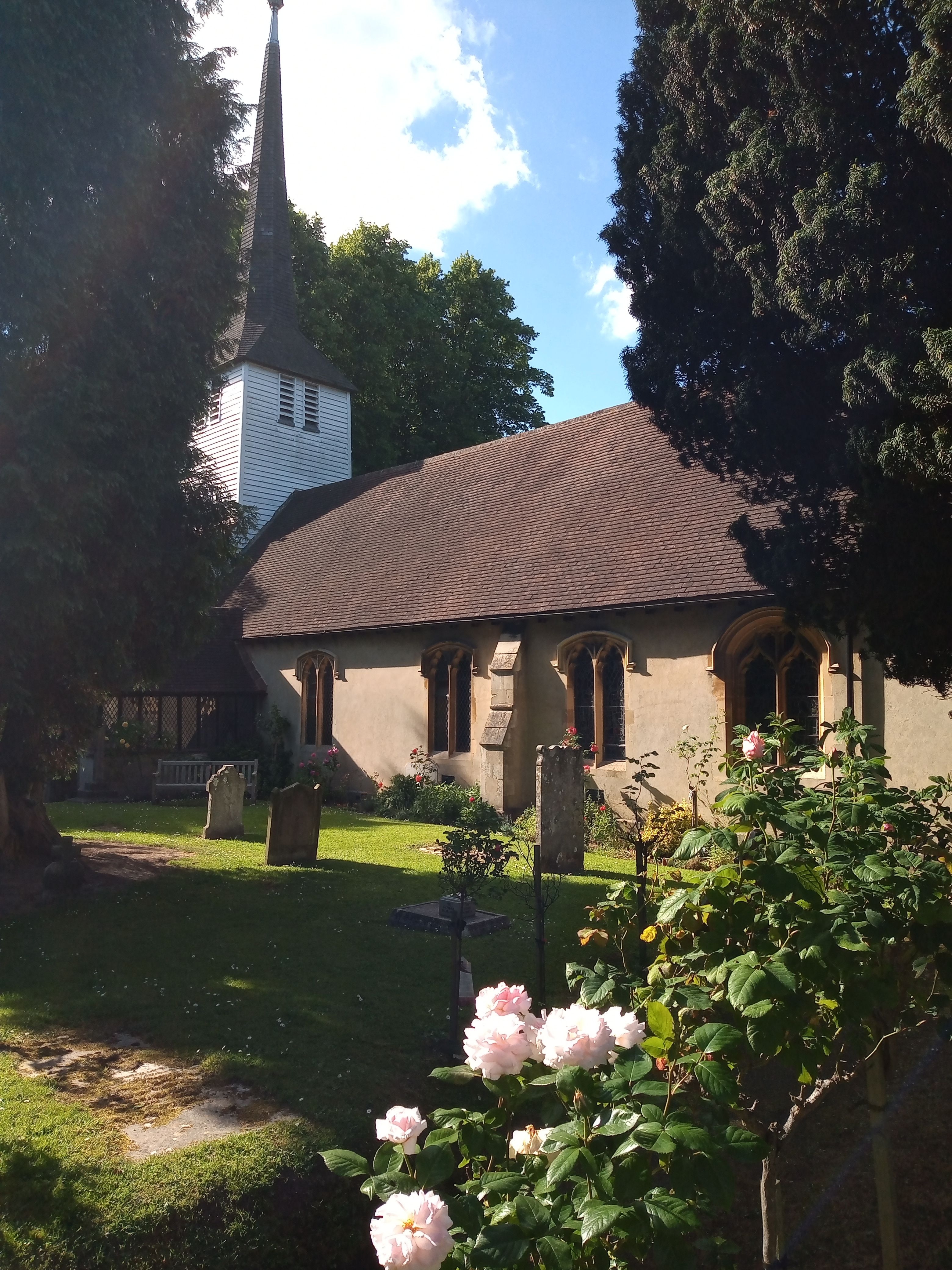
Where is St Mary the Virgin Churchyard?
St Mary the Virgin Churchyard is located at Shenfield, Brentwood Borough ,Essex ,England.
-
St Mary the Virgin Churchyard cemetery's updated grave count on graveviews.com?
78 memorials
-
Where are the coordinates of the St Mary the Virgin Churchyard?
Latitude: 51.6320590
Longitude: 0.3185650
Nearby Cemetories:
1. Brentwood Cathedral Burial Grounds
Brentwood, Brentwood Borough, England
Coordinate: 51.6196720, 0.3064440
2. St Thomas of Canterbury Churchyard
Brentwood, Brentwood Borough, England
Coordinate: 51.6196970, 0.3046240
3. London Road Cemetery
Brentwood, Brentwood Borough, England
Coordinate: 51.6169890, 0.2901580
4. Woodman Road Cemetery
Great Warley, Brentwood Borough, England
Coordinate: 51.6084860, 0.3060510
5. Lorne Road Cemetery
Great Warley, Brentwood Borough, England
Coordinate: 51.6091530, 0.2969270
6. All Saints Churchyard
Hutton, Brentwood Borough, England
Coordinate: 51.6241150, 0.3608210
7. Lorne Road Cemetery
Brentwood, Brentwood Borough, England
Coordinate: 51.6107450, 0.2894590
8. Bentley Cemetery and Crematorium
Brentwood Borough, England
Coordinate: 51.6424381, 0.2740605
9. St Nicholas Churchyard
Ingrave, Brentwood Borough, England
Coordinate: 51.6035800, 0.3425560
10. St Peter Churchyard
South Weald, Brentwood Borough, England
Coordinate: 51.6215858, 0.2684350
11. St Paul Bentley Common Churchyard
Brentwood, Brentwood Borough, England
Coordinate: 51.6468925, 0.2628140
12. St. Giles Churchyard
Mountnessing, Brentwood Borough, England
Coordinate: 51.6438000, 0.3804700
13. Brentwood Jewish Cemetery
Coxtie Green, Brentwood Borough, England
Coordinate: 51.6420580, 0.2488660
14. St. Nicholas Churchyard
Kelvedon Hatch, Brentwood Borough, England
Coordinate: 51.6675310, 0.2674380
15. Ss John the Evangelist and Erconwald
Ingatestone, Brentwood Borough, England
Coordinate: 51.6645740, 0.3749410
16. St Mary the Virgin Churchyard
Great Warley, Brentwood Borough, England
Coordinate: 51.5863490, 0.2920150
17. Herongate Wood Cemetery
Herongate, Brentwood Borough, England
Coordinate: 51.5959206, 0.3759600
18. All Saints and Saint Faith Churchyard
Childerditch, Brentwood Borough, England
Coordinate: 51.5796560, 0.3278980
19. Ingatestone and Fryerning Cemetery
Ingatestone, Brentwood Borough, England
Coordinate: 51.6751630, 0.3678700
20. St Mary the Virgin Churchyard
Fryerning, Brentwood Borough, England
Coordinate: 51.6758350, 0.3682350
21. Ingatestone United Reformed Church
Ingatestone, Brentwood Borough, England
Coordinate: 51.6696110, 0.3827140
22. Roman Catholic Cemetery
Ingatestone, Brentwood Borough, England
Coordinate: 51.6702910, 0.3861230
23. All Saints Churchyard
East Horndon, Brentwood Borough, England
Coordinate: 51.5808500, 0.3591000
24. St. Edmund and St. Mary Churchyard
Ingatestone, Brentwood Borough, England
Coordinate: 51.6708850, 0.3861950