
| Memorials | : | 0 |
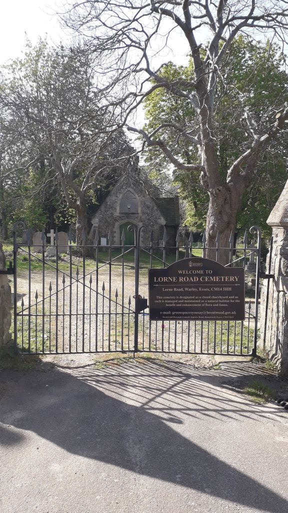
| Location | : | Brentwood, Brentwood Borough, England |
| Coordinate | : | 51.6107450, 0.2894590 |
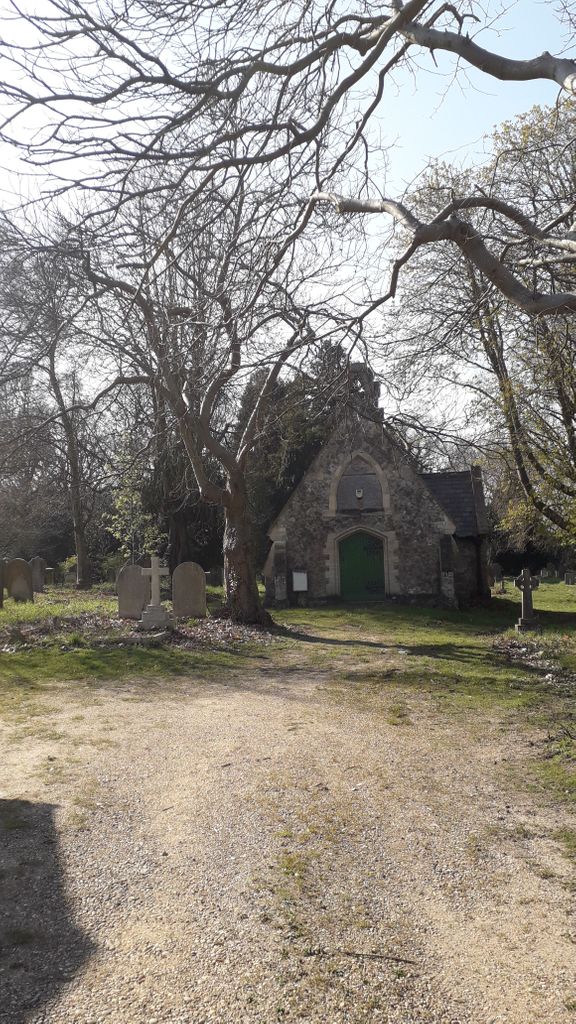
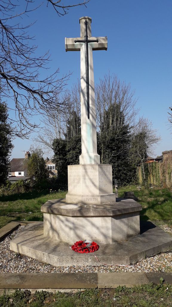
| Description | : | Cemetery for the benefit of: Residents of Great Warley/Warley (this graveyard is shown on old maps as the churchyard of Christ Church, Great Warley) Patients of Essex Lunatic Asylum, later known as Warley Mental Hospital Soldiers of the Essex Regiment (previously 44th/56th Regiment of Foot) Some people were in two categories -eg war graves of WW1 of Essex Regiment and Irish Guards include some 'shell-shock (PTSD) soldiers who were later in-patients of Warley Hospital, hence the date of death being some time after WW1. This cemetery was open 1855-1940; after this period all such burials were in... Read More |
frequently asked questions (FAQ):
-
Where is Lorne Road Cemetery?
Lorne Road Cemetery is located at Brentwood, Brentwood Borough ,Essex ,England.
-
Lorne Road Cemetery cemetery's updated grave count on graveviews.com?
0 memorials
-
Where are the coordinates of the Lorne Road Cemetery?
Latitude: 51.6107450
Longitude: 0.2894590
Nearby Cemetories:
1. Lorne Road Cemetery
Great Warley, Brentwood Borough, England
Coordinate: 51.6091530, 0.2969270
2. London Road Cemetery
Brentwood, Brentwood Borough, England
Coordinate: 51.6169890, 0.2901580
3. Woodman Road Cemetery
Great Warley, Brentwood Borough, England
Coordinate: 51.6084860, 0.3060510
4. St Thomas of Canterbury Churchyard
Brentwood, Brentwood Borough, England
Coordinate: 51.6196970, 0.3046240
5. Brentwood Cathedral Burial Grounds
Brentwood, Brentwood Borough, England
Coordinate: 51.6196720, 0.3064440
6. St Peter Churchyard
South Weald, Brentwood Borough, England
Coordinate: 51.6215858, 0.2684350
7. St Mary the Virgin Churchyard
Great Warley, Brentwood Borough, England
Coordinate: 51.5863490, 0.2920150
8. St Mary the Virgin Churchyard
Shenfield, Brentwood Borough, England
Coordinate: 51.6320590, 0.3185650
9. Bentley Cemetery and Crematorium
Brentwood Borough, England
Coordinate: 51.6424381, 0.2740605
10. St Nicholas Churchyard
Ingrave, Brentwood Borough, England
Coordinate: 51.6035800, 0.3425560
11. All Saints and Saint Faith Churchyard
Childerditch, Brentwood Borough, England
Coordinate: 51.5796560, 0.3278980
12. The Old Churchyard
Great Warley, Brentwood Borough, England
Coordinate: 51.5719550, 0.3023490
13. St Paul Bentley Common Churchyard
Brentwood, Brentwood Borough, England
Coordinate: 51.6468925, 0.2628140
14. St. Peter Churchyard
Little Warley, Brentwood Borough, England
Coordinate: 51.5738020, 0.3138180
15. Brentwood Jewish Cemetery
Coxtie Green, Brentwood Borough, England
Coordinate: 51.6420580, 0.2488660
16. St Thomas Churchyard
Noak Hill, London Borough of Havering, England
Coordinate: 51.6236572, 0.2246620
17. All Saints Churchyard
Hutton, Brentwood Borough, England
Coordinate: 51.6241150, 0.3608210
18. All Saints Churchyard
East Horndon, Brentwood Borough, England
Coordinate: 51.5808500, 0.3591000
19. Herongate Wood Cemetery
Herongate, Brentwood Borough, England
Coordinate: 51.5959206, 0.3759600
20. St. Nicholas Churchyard
Kelvedon Hatch, Brentwood Borough, England
Coordinate: 51.6675310, 0.2674380
21. All Saints Churchyard
Cranham, London Borough of Havering, England
Coordinate: 51.5522750, 0.2660270
22. St Laurence Churchyard
Upminster, London Borough of Havering, England
Coordinate: 51.5557430, 0.2478680
23. St. Andrew's Churchyard
Hornchurch, London Borough of Havering, England
Coordinate: 51.5604880, 0.2260780
24. Hornchurch Cemetery
Hornchurch, London Borough of Havering, England
Coordinate: 51.5590370, 0.2264210