| Memorials | : | 1 |
| Location | : | Winlaton, Metropolitan Borough of Gateshead, England |
| Coordinate | : | 54.9513575, -1.7290585 |
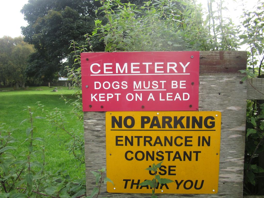
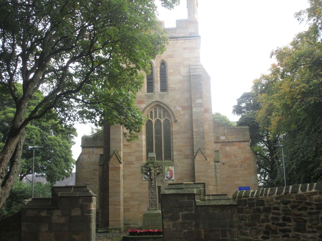
| Description | : | The few graves in the churchyard have mostly been propped up against the outer wall, with the majority of the graves across the road to the church in the extension. |
frequently asked questions (FAQ):
-
Where is St Pauls Churchyard and Extension?
St Pauls Churchyard and Extension is located at Scotland Head Winlaton, Metropolitan Borough of Gateshead ,Tyne and Wear , NE21 6PEngland.
-
St Pauls Churchyard and Extension cemetery's updated grave count on graveviews.com?
1 memorials
-
Where are the coordinates of the St Pauls Churchyard and Extension?
Latitude: 54.9513575
Longitude: -1.7290585
Nearby Cemetories:
1. Blaydon Cemetery
Blaydon, Metropolitan Borough of Gateshead, England
Coordinate: 54.9618300, -1.7079660
2. Ryton and Crawcrook Cemetery
Ryton, Metropolitan Borough of Gateshead, England
Coordinate: 54.9703360, -1.7596530
3. Greenside Cemetery
Greenside, Metropolitan Borough of Gateshead, England
Coordinate: 54.9591900, -1.7808900
4. St. John's Churchyard
Greenside, Metropolitan Borough of Gateshead, England
Coordinate: 54.9584780, -1.7818970
5. St. Michael and All Angels Churchyard
Newburn, Metropolitan Borough of Newcastle upon Tyne, England
Coordinate: 54.9823080, -1.7410970
6. St. Mary's Churchyard
Whickham, Metropolitan Borough of Gateshead, England
Coordinate: 54.9461090, -1.6738260
7. Lemington Cemetery
Lemington, Metropolitan Borough of Newcastle upon Tyne, England
Coordinate: 54.9830640, -1.7121210
8. Holy Cross Parish Churchyard
Ryton, Metropolitan Borough of Gateshead, England
Coordinate: 54.9774810, -1.7649850
9. Garden House Cemetery
Swalwell, Metropolitan Borough of Gateshead, England
Coordinate: 54.9511010, -1.6692210
10. St Patricks Cemetery
High Spen, Metropolitan Borough of Gateshead, England
Coordinate: 54.9215030, -1.7744860
11. Hookergate Cemetery
Rowlands Gill, Metropolitan Borough of Gateshead, England
Coordinate: 54.9214632, -1.7744345
12. St Cuthbert's Church Yard
Marley Hill, Metropolitan Borough of Gateshead, England
Coordinate: 54.9174339, -1.6817654
13. St James Churchyard
Benwell, Metropolitan Borough of Newcastle upon Tyne, England
Coordinate: 54.9710660, -1.6613400
14. West Road Cemetery and Crematorium
Newcastle-upon-Tyne, Metropolitan Borough of Newcastle upon Tyne, England
Coordinate: 54.9835110, -1.6774750
15. St. James Churchyard Extension
Burnopfield, Durham Unitary Authority, England
Coordinate: 54.9059970, -1.7428510
16. St James Churchyard
Burnopfield, Durham Unitary Authority, England
Coordinate: 54.9059910, -1.7428650
17. Elswick Cemetery
Newcastle-upon-Tyne, Metropolitan Borough of Newcastle upon Tyne, England
Coordinate: 54.9688000, -1.6490400
18. St John the Evangelist Churchyard
Chopwell, Metropolitan Borough of Gateshead, England
Coordinate: 54.9236780, -1.8093620
19. Saint Nicholas Cemetery
Newcastle-upon-Tyne, Metropolitan Borough of Newcastle upon Tyne, England
Coordinate: 54.9804950, -1.6449710
20. Heddon on The Wall Churchyard
Heddon-on-the-Wall, Northumberland Unitary Authority, England
Coordinate: 54.9962960, -1.7923170
21. Westgate Hill General Cemetery
Newcastle-upon-Tyne, Metropolitan Borough of Newcastle upon Tyne, England
Coordinate: 54.9719880, -1.6313500
22. St Paul's Churchyard
Newcastle-upon-Tyne, Metropolitan Borough of Newcastle upon Tyne, England
Coordinate: 54.9722280, -1.6301050
23. Mountsett Crematorium
Dipton, Durham Unitary Authority, England
Coordinate: 54.8877540, -1.7454940
24. Thornton Street Jewish Cemetery
Newcastle-upon-Tyne, Metropolitan Borough of Newcastle upon Tyne, England
Coordinate: 54.9700140, -1.6211580


