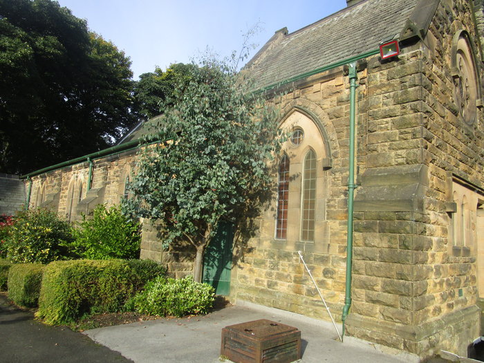
| Memorials | : | 0 |
| Location | : | Burnopfield, Durham Unitary Authority, England |
| Coordinate | : | 54.9059910, -1.7428650 |
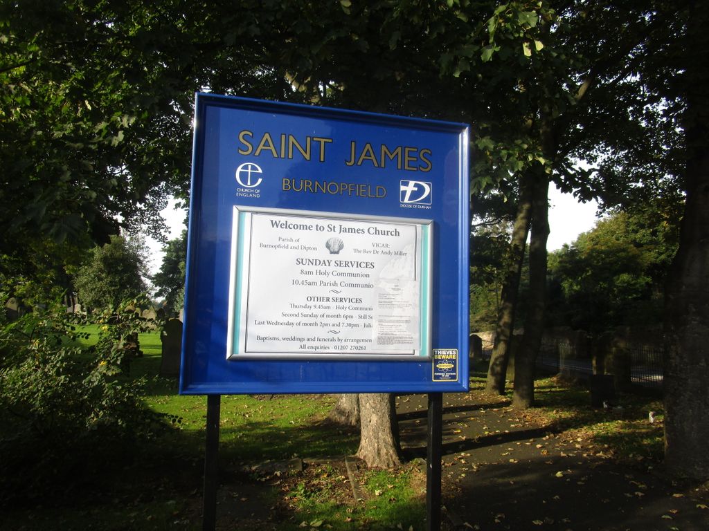
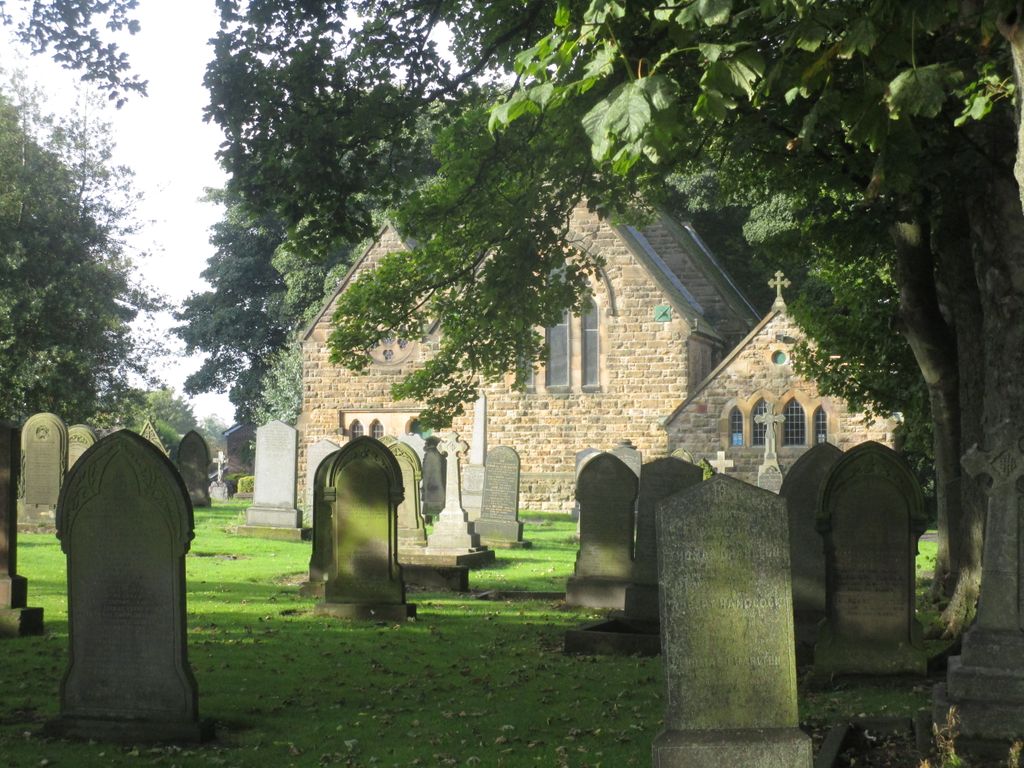
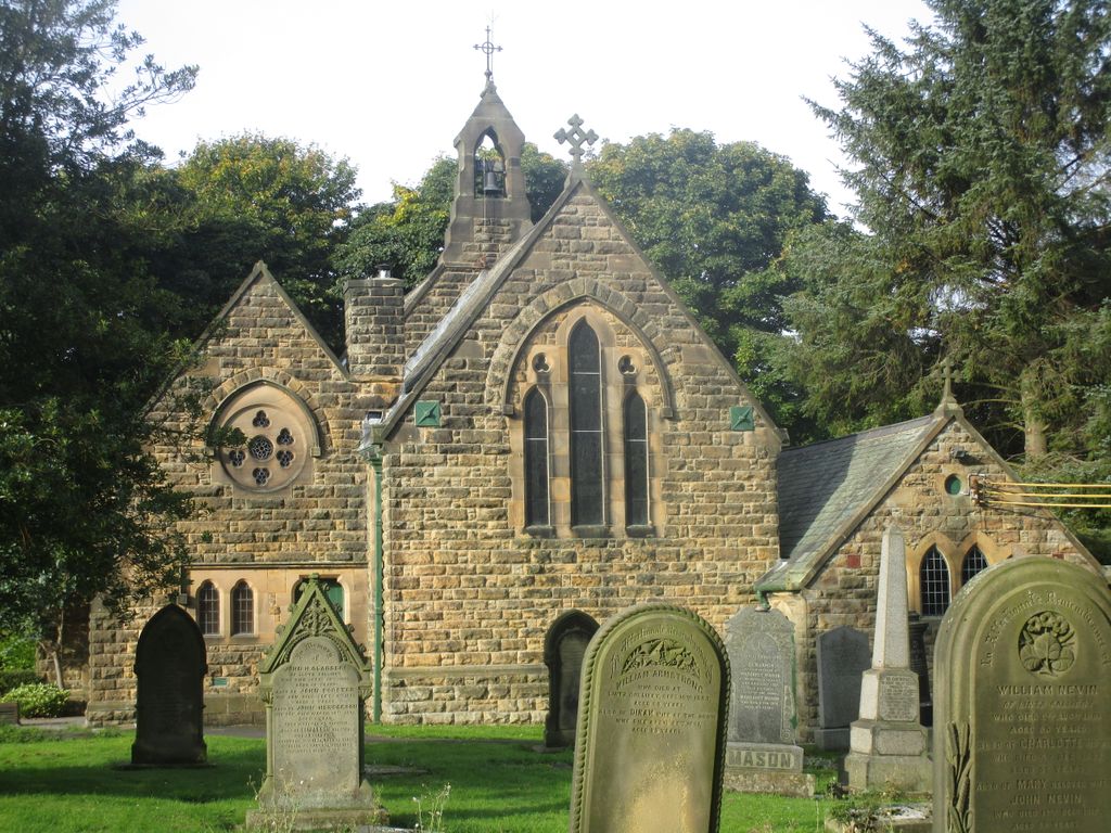
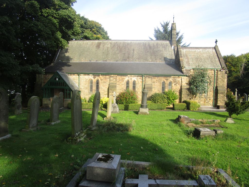
| Description | : | This is the main churchyard and not the extension. Burials commenced in the churchyard in November 1873. The churchyard was closed to further interments in 1968, unless in an existing family grave. |
frequently asked questions (FAQ):
-
Where is St James Churchyard?
St James Churchyard is located at Front Street Burnopfield, Durham Unitary Authority ,County Durham , NE16England.
-
St James Churchyard cemetery's updated grave count on graveviews.com?
0 memorials
-
Where are the coordinates of the St James Churchyard?
Latitude: 54.9059910
Longitude: -1.7428650
Nearby Cemetories:
1. St. James Churchyard Extension
Burnopfield, Durham Unitary Authority, England
Coordinate: 54.9059970, -1.7428510
2. Mountsett Crematorium
Dipton, Durham Unitary Authority, England
Coordinate: 54.8877540, -1.7454940
3. Hookergate Cemetery
Rowlands Gill, Metropolitan Borough of Gateshead, England
Coordinate: 54.9214632, -1.7744345
4. St Patricks Cemetery
High Spen, Metropolitan Borough of Gateshead, England
Coordinate: 54.9215030, -1.7744860
5. Saint Patrick’s Roman Catholic Cemetery
Dipton, Durham Unitary Authority, England
Coordinate: 54.8768300, -1.7516900
6. St John The Evangelist Churchyard
Dipton, Durham Unitary Authority, England
Coordinate: 54.8756390, -1.7657080
7. St. John the Evangelist Graveyard
Dipton, Durham Unitary Authority, England
Coordinate: 54.8731067, -1.7607181
8. St Cuthbert's Church Yard
Marley Hill, Metropolitan Borough of Gateshead, England
Coordinate: 54.9174339, -1.6817654
9. Old Harelaw Cemetery
Harelaw, Durham Unitary Authority, England
Coordinate: 54.8691560, -1.7524030
10. Harelaw Cemetery
Harelaw, Durham Unitary Authority, England
Coordinate: 54.8687900, -1.7554770
11. St. Thomas Churchyard
Harelaw, Durham Unitary Authority, England
Coordinate: 54.8679000, -1.7495000
12. St John the Evangelist Churchyard
Chopwell, Metropolitan Borough of Gateshead, England
Coordinate: 54.9236780, -1.8093620
13. St Pauls Churchyard and Extension
Winlaton, Metropolitan Borough of Gateshead, England
Coordinate: 54.9513575, -1.7290585
14. Low Westwood Christ Churchyard
Low Westwood, Durham Unitary Authority, England
Coordinate: 54.9030390, -1.8246450
15. St. Mary Magdalene Churchyard
Medomsley, Durham Unitary Authority, England
Coordinate: 54.8839400, -1.8161700
16. Low Westwood Cemetery
Low Westwood, Durham Unitary Authority, England
Coordinate: 54.9008900, -1.8257700
17. Sacred Heart Roman Catholic Cemetery
Low Westwood, Durham Unitary Authority, England
Coordinate: 54.9009080, -1.8258350
18. Our Blessed Lady and St Joseph Churchyard
Leadgate, Durham Unitary Authority, England
Coordinate: 54.8642660, -1.7891290
19. St. George's Churchyard
South Moor, Durham Unitary Authority, England
Coordinate: 54.8570620, -1.7050020
20. St. Ives Churchyard
Leadgate, Durham Unitary Authority, England
Coordinate: 54.8610940, -1.7987850
21. St Ives Churchyard
Iveston, Durham Unitary Authority, England
Coordinate: 54.8609250, -1.7985710
22. St. Mary's Churchyard
Whickham, Metropolitan Borough of Gateshead, England
Coordinate: 54.9461090, -1.6738260
23. St. John's Churchyard
Greenside, Metropolitan Borough of Gateshead, England
Coordinate: 54.9584780, -1.7818970
24. St Ebba’s Churchyard
Ebchester, Durham Unitary Authority, England
Coordinate: 54.8938660, -1.8401650

