
| Memorials | : | 0 |
| Location | : | Tyringham, Milton Keynes Borough, England |
| Coordinate | : | 52.1119430, -0.7465510 |
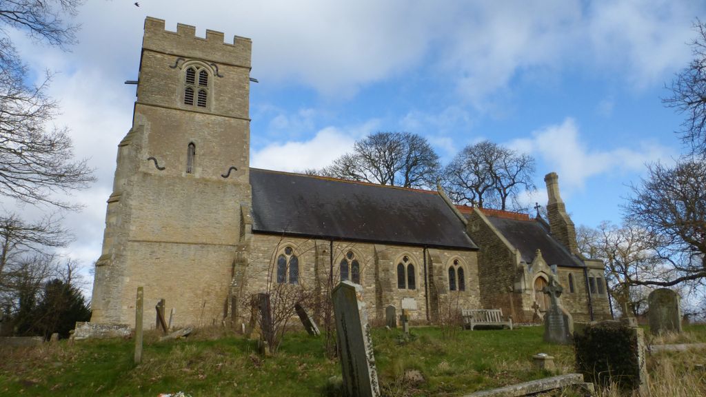
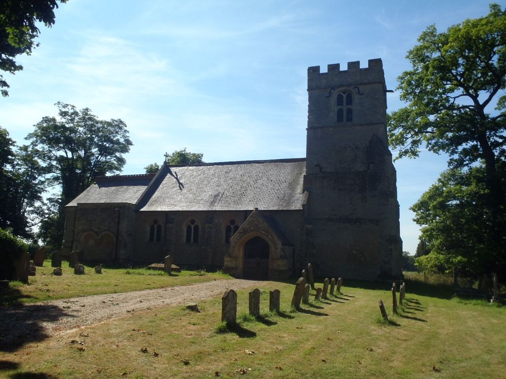
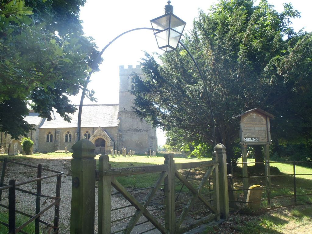
| Description | : | St Peter’s church is situated in farmland, north of the river Great Ouse and S.E. of the village of Tyringham. Dating from the 12th century but rebuilt in 1871 by E.J. Tarver. It contains ten stained glass windows dating from the 1870s. The churchyard lies north and south of the building. |
frequently asked questions (FAQ):
-
Where is St. Peter's Churchyard?
St. Peter's Churchyard is located at Tyringham, Milton Keynes Borough ,Buckinghamshire , MK16 9EXEngland.
-
St. Peter's Churchyard cemetery's updated grave count on graveviews.com?
0 memorials
-
Where are the coordinates of the St. Peter's Churchyard?
Latitude: 52.1119430
Longitude: -0.7465510


Nearby Cemetories:
1. St. Peter's Churchyard
Gayhurst, Milton Keynes Borough, England
Coordinate: 52.1081810, -0.7652570
2. Lathbury Churchyard
Lathbury, Milton Keynes Borough, England
Coordinate: 52.0963900, -0.7247400
3. St Lauds Churchyard
Sherington, Milton Keynes Borough, England
Coordinate: 52.1122500, -0.7018140
4. St. Peter and St. Paul's Churchyard
Newport Pagnell, Milton Keynes Borough, England
Coordinate: 52.0869970, -0.7203080
5. Newport Pagnell Old Cemetery
Newport Pagnell, Milton Keynes Borough, England
Coordinate: 52.0873930, -0.7186730
6. Weston Underwood Parish Churchyard
Olney, Milton Keynes Borough, England
Coordinate: 52.1448260, -0.7393570
7. St. Peter's Churchyard
Stoke Goldington, Milton Keynes Borough, England
Coordinate: 52.1348000, -0.7865000
8. All Saints Churchyard
Emberton, Milton Keynes Borough, England
Coordinate: 52.1365770, -0.7082700
9. Tickford Street Cemetery
Newport Pagnell, Milton Keynes Borough, England
Coordinate: 52.0807670, -0.7121200
10. All Saints Churchyard
Ravenstone, Milton Keynes Borough, England
Coordinate: 52.1498400, -0.7585290
11. St. Andrew's Churchyard
Great Linford, Milton Keynes Borough, England
Coordinate: 52.0728600, -0.7597100
12. St Lawrence Churchyard
Chicheley, Milton Keynes Borough, England
Coordinate: 52.1037000, -0.6807000
13. St Peter's Church
Stantonbury, Milton Keynes Borough, England
Coordinate: 52.0766920, -0.7820570
14. St Peter's Churchyard
Milton Keynes, Milton Keynes Borough, England
Coordinate: 52.0767000, -0.7821000
15. St. Mary's Churchyard
Milton Keynes Borough, England
Coordinate: 52.0769923, -0.7933094
16. New Bradwell Cemetery
Stantonbury, Milton Keynes Borough, England
Coordinate: 52.0684700, -0.7743500
17. St Peter and St Paul Churchyard
Olney, Milton Keynes Borough, England
Coordinate: 52.1498710, -0.7009460
18. Olney Cemetery
Olney, Milton Keynes Borough, England
Coordinate: 52.1505480, -0.6996760
19. Olney Baptist Church Cemetery
Olney, Milton Keynes Borough, England
Coordinate: 52.1532830, -0.7021010
20. St James the Great Churchyard
Hanslope, Milton Keynes Borough, England
Coordinate: 52.1129940, -0.8274720
21. Willen Churchyard
Campbell Park, Milton Keynes Borough, England
Coordinate: 52.0624000, -0.7200000
22. St. James Ecumenical Churchyard
New Bradwell, Milton Keynes Borough, England
Coordinate: 52.0651300, -0.7935050
23. St Mary's Churchyard
Clifton Reynes, Milton Keynes Borough, England
Coordinate: 52.1520000, -0.6820000
24. St. Simon & St. Jude Churchyard
Castlethorpe, Milton Keynes Borough, England
Coordinate: 52.0931117, -0.8349450