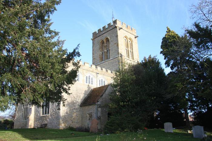
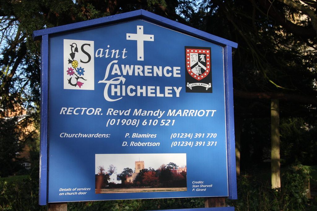
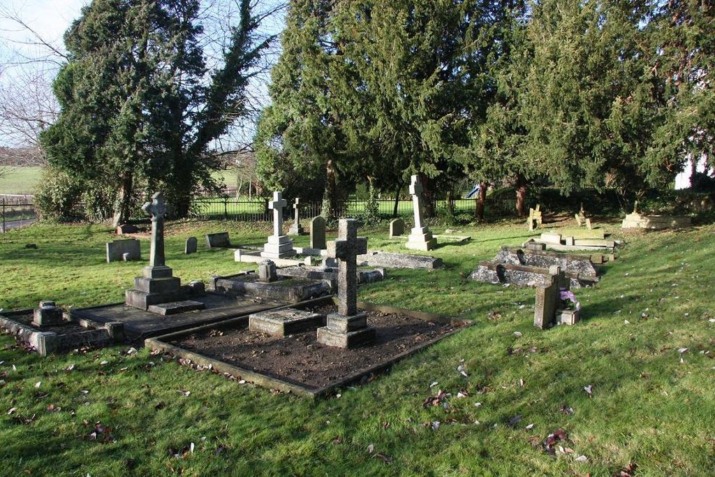
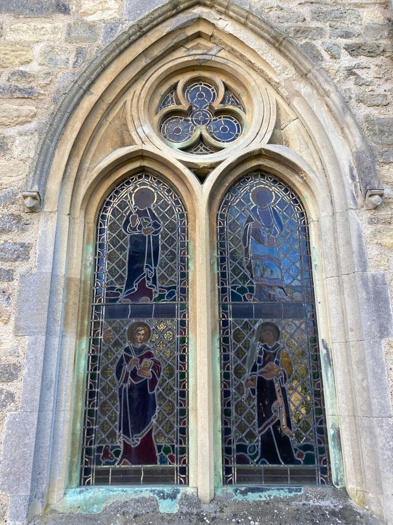
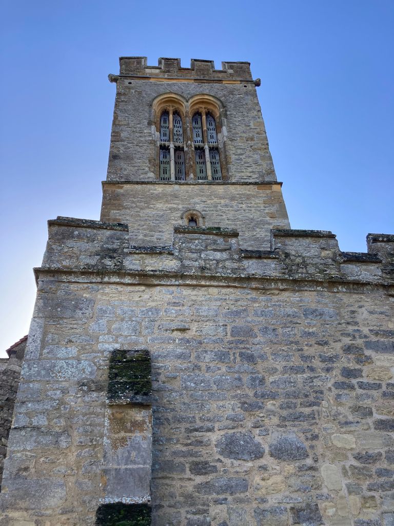
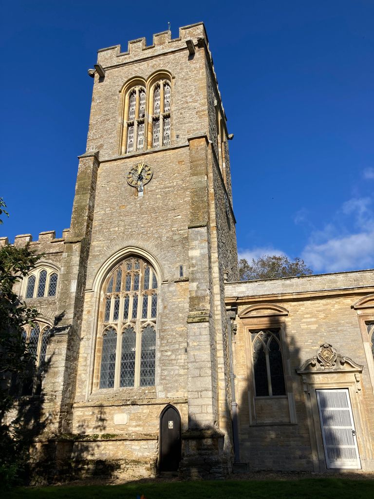
| Memorials | : | 2 |
| Location | : | Chicheley, Milton Keynes Borough, England |
| Coordinate | : | 52.1037000, -0.6807000 |
frequently asked questions (FAQ):
-
Where is St Lawrence Churchyard?
St Lawrence Churchyard is located at Hall Lane Chicheley, Milton Keynes Borough ,Buckinghamshire , MK16 9JHEngland.
-
St Lawrence Churchyard cemetery's updated grave count on graveviews.com?
2 memorials
-
Where are the coordinates of the St Lawrence Churchyard?
Latitude: 52.1037000
Longitude: -0.6807000
Nearby Cemetories:
1. St Lauds Churchyard
Sherington, Milton Keynes Borough, England
Coordinate: 52.1122500, -0.7018140
2. St. Firmin Churchyard
North Crawley, Milton Keynes Borough, England
Coordinate: 52.0924400, -0.6485000
3. Lathbury Churchyard
Lathbury, Milton Keynes Borough, England
Coordinate: 52.0963900, -0.7247400
4. Newport Pagnell Old Cemetery
Newport Pagnell, Milton Keynes Borough, England
Coordinate: 52.0873930, -0.7186730
5. St. Peter and St. Paul's Churchyard
Newport Pagnell, Milton Keynes Borough, England
Coordinate: 52.0869970, -0.7203080
6. Tickford Street Cemetery
Newport Pagnell, Milton Keynes Borough, England
Coordinate: 52.0807670, -0.7121200
7. St. Mary's Churchyard
Hardmead, Milton Keynes Borough, England
Coordinate: 52.1196000, -0.6358000
8. All Saints Churchyard
Emberton, Milton Keynes Borough, England
Coordinate: 52.1365770, -0.7082700
9. Assumption of the Blessed Virgin Mary Churchyard
Moulsoe, Milton Keynes Borough, England
Coordinate: 52.0666500, -0.6790070
10. St. Peter's Churchyard
Tyringham, Milton Keynes Borough, England
Coordinate: 52.1119430, -0.7465510
11. St. Peter's Churchyard
Astwood, Milton Keynes Borough, England
Coordinate: 52.1164390, -0.6135200
12. St Peter and St Paul Churchyard
Olney, Milton Keynes Borough, England
Coordinate: 52.1498710, -0.7009460
13. Willen Churchyard
Campbell Park, Milton Keynes Borough, England
Coordinate: 52.0624000, -0.7200000
14. Olney Cemetery
Olney, Milton Keynes Borough, England
Coordinate: 52.1505480, -0.6996760
15. St Mary's Churchyard
Clifton Reynes, Milton Keynes Borough, England
Coordinate: 52.1520000, -0.6820000
16. Olney Baptist Church Cemetery
Olney, Milton Keynes Borough, England
Coordinate: 52.1532830, -0.7021010
17. St. Peter's Churchyard
Gayhurst, Milton Keynes Borough, England
Coordinate: 52.1081810, -0.7652570
18. St. Lawrence's Churchyard
Broughton, Milton Keynes Borough, England
Coordinate: 52.0522000, -0.6980000
19. Cranfield Friend's Burial Ground
Cranfield, Central Bedfordshire Unitary Authority, England
Coordinate: 52.0820192, -0.5998549
20. Mount Zion Burial Ground
Cranfield, Central Bedfordshire Unitary Authority, England
Coordinate: 52.0703595, -0.6110791
21. Weston Underwood Parish Churchyard
Olney, Milton Keynes Borough, England
Coordinate: 52.1448260, -0.7393570
22. St. Nicholas Churchyard
Newton Blossomville, Milton Keynes Borough, England
Coordinate: 52.1546343, -0.6482556
23. St. Andrew's Churchyard
Great Linford, Milton Keynes Borough, England
Coordinate: 52.0728600, -0.7597100
24. St Peter and St Paul Churchyard
Cranfield, Central Bedfordshire Unitary Authority, England
Coordinate: 52.0679750, -0.6071570

